Bike Tripper
Have Bikes, Will Travel
Bike Trail Maps & Photos Galore
You are here >
Home >
New York >
Erie Canalway Trail >
West-Central Section
Latest update: June 2026
Erie Canalway Trail... West-Central
Biking and Touring from Syracuse to Rochester
This section of the Ere Canalway Trail covers 97 miles between Syracuse and Rochester, NY. The trail runs mostly off-road along the Canalway, including paved, stonedust and on-road sections with views of boats, bridges and locks. To date, we've visited about 35 miles in the westernmost section from Newark to Rochester. In this area, we thoroughly enjoyed the scenic canal towns and Rochester's parks and trails.
2 Suggested Rides:
- Between Fairport and Pittsford, 6.5 miles
- At Rochester, Genesee Valley Park, and nearby trails.
(Detailed map and photos below.)
Location: Syracuse to Rochester, NY (See map)
Distance: 97 miles (mile 172 to 269)
Surface: Various - paved asphalt, compacted
stonedust, on-road
Bike Shops/Rentals:
View full list of bike shops 
Erie Canalway Trail - Syracuse to Rochester - 97 miles
- Newark to Macedon
- Newark
- Palmyra
- Macedon - Fairport to Pittsford
- Fairport
- Pittsford - Rochester
** A Suggested Ride:
- Genesee Valley Park
- Genesee Valley Greenway State Park
- Genesee Riverway Trail
Newark to Macedon (mile 233-249)
The trail here includes paved and stonedust off road, and some sections on the road. This is a mostly undeveloped area, passing farmlands and woodland. We visited trailheads at several sites along the way.
Newark
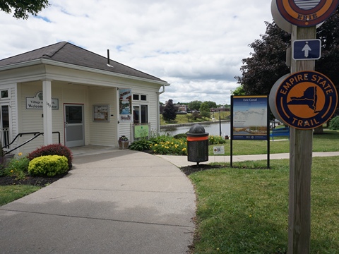
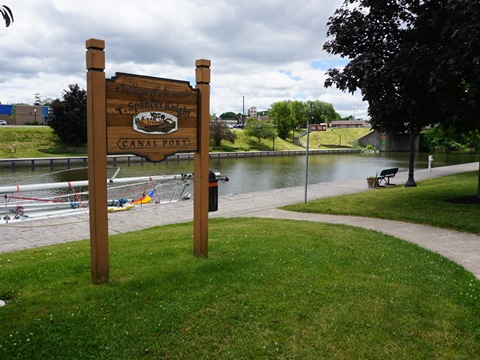
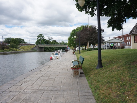
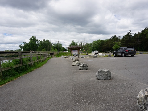
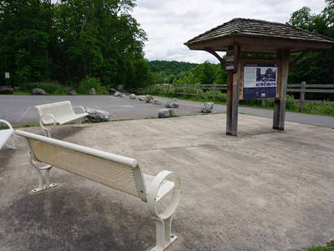
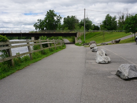
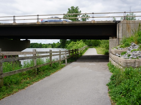
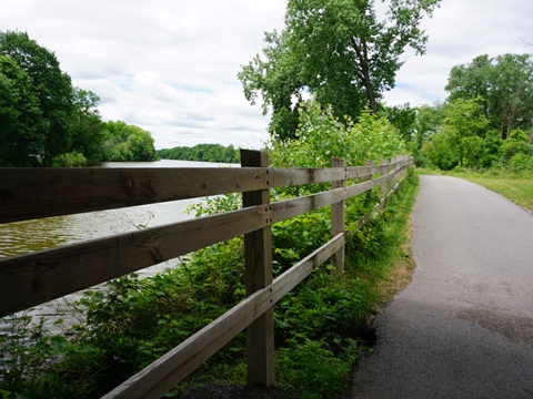
The Village of Newark is an Empire State Trail Town with amenities including restaurants, accommodations, and shopping. We visited two sections, at T. Spencer Knight Park in the middle of town, and at Harder Canal Park along the trail westward. The trail between the two is paved with canal views.
T. Spencer Knight Park (mile 233)
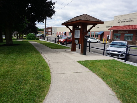
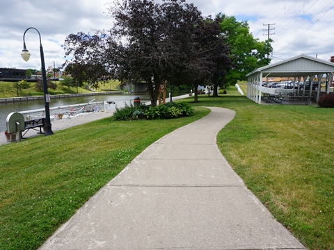
The Park, across the canal from the Port of Newark, has a Welcome Center (information, restrooms), bike fix-it station, picnic tables, benches, gazebo, and floating dock. The trail is paved in this section.
Palmyra
The Town of Palmyra (originally Swift's Landing) was settled in 1789, with the Erie Canal reaching here in 1822. Palmyra was the home of Joseph Smith, founder of the Church of Latter Day Saints. The Book of Mormon was first published here in 1830; several historic sites exist.
Palmyra-Macedon Aqueduct Park (mile 243)
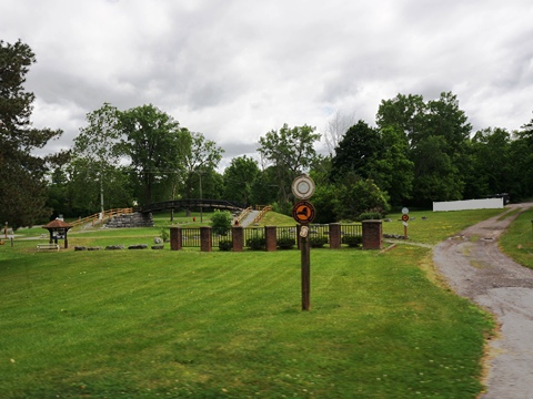
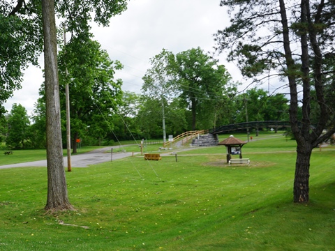
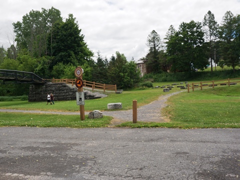
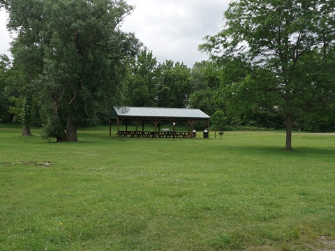
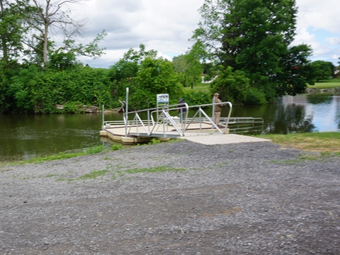
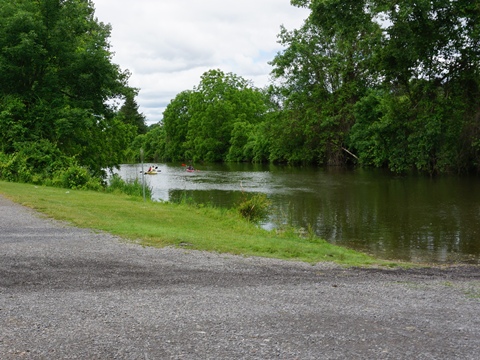
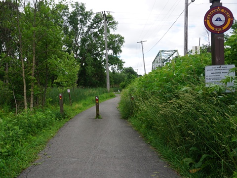
The trail runs on the south side of the canal through Pal-Mac Aqueduct Park, with parking, restrooms, picnicking, kayak launch, and ball field. A short portion is paved, otherwise stonedust.
Located here are remains of the original 1857 Mud Creek Aqueduct, and the historic Aldrich Change Bridge (1858, the oldest iron bridge in New York). Aqueduct Falls are a manmade spillway draining water from the Erie Canal lock into Ganargua Creek.
Macedon
The Town of Macedon was carved out of eastern Palmyra and incorporated as a town during canal construction in 1823. Wayneport is a neighborhood within the town. Once called West Macedon, it was the first port in Wayne County, and site of Macedon's first post office.
Lock 30 Canal Park (mile 246)
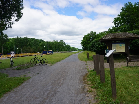
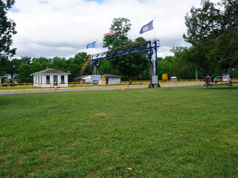
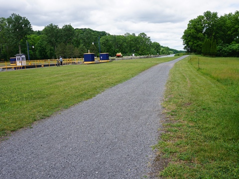
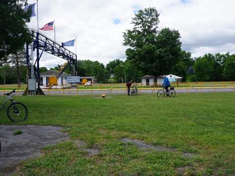
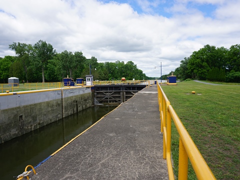
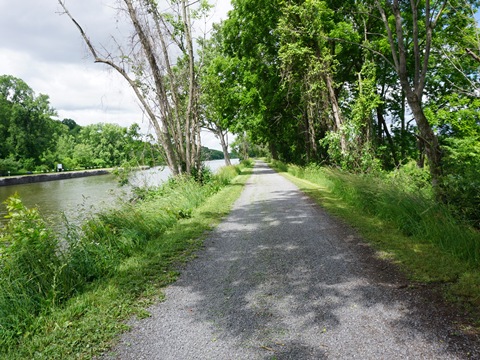
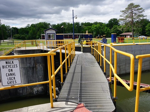
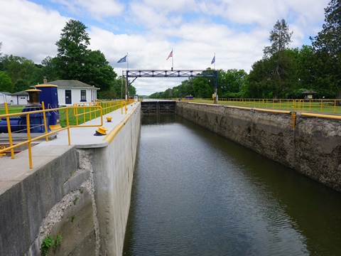
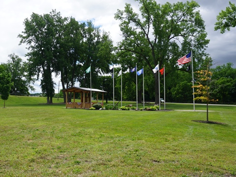
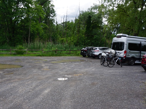
The stonedust trail runs on the north side of the canal, a walkway crosses the lock to the park (walk your bike). Parking, restrooms, picnic, Butterfly Trail, Veterans Memorial. Viewing a working lock is always interesting.
Fairport to Pittsford (mile 254-260.5)
**A Suggested Ride:
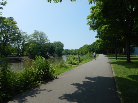
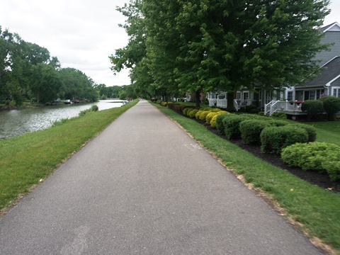
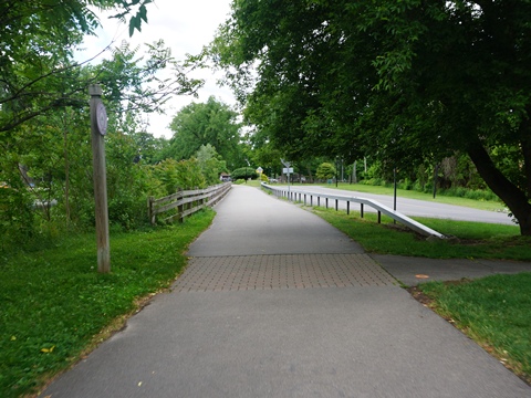
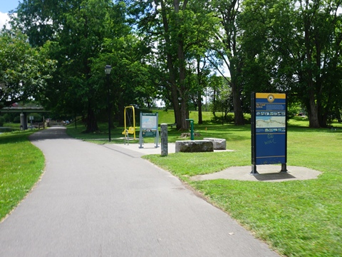
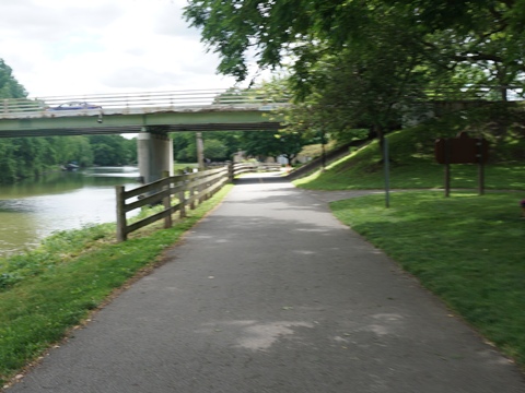
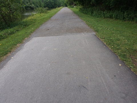
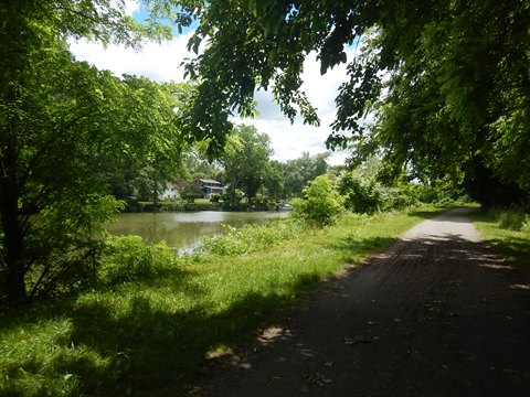
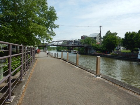
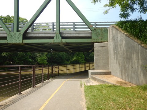
The trail between Fairport and Pittsford along the Erie Canal is easy to ride, flat, well-maintained, and mostly shaded. Paved at Fairport and Pittsford with a 4-mile stonedust section, and underpasses at crossroads along the way. Perinton Park at Fairport and Great Embankment Park at Pittsford have restrooms, picnicking, sporting facilities, and more. At Bushnell's Basin is a short paved section with viewing platform and benches, close to restaurants and shopping.
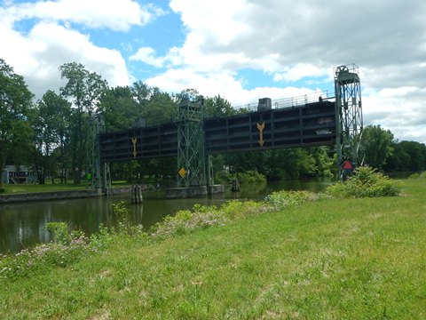
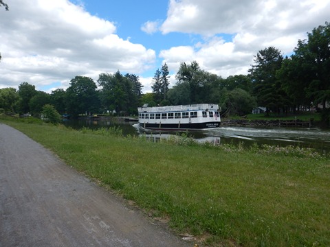
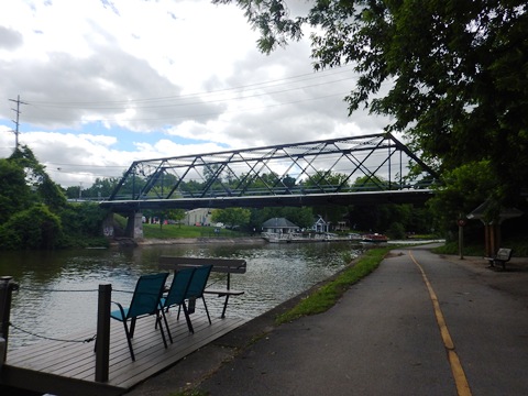
*History: While the canal mostly follows a straight line, here it is in a horseshoe shape and includes one of its engineering wonders. Due to the hilly land, many locks would have been needed to continue straight. An alternate route was found but required crossing the valley at Irondequoit Creek. The Great Embankment solved the problem by construction of a mile-long, 70-foot-high structure bridging the valley to create a level route and re-routing Irondequoit Creek through a 245-foot-long and 26-foot-wide culvert. Without this solution, the canal would have been routed into Lake Ontario.
Fairport (mile 254)
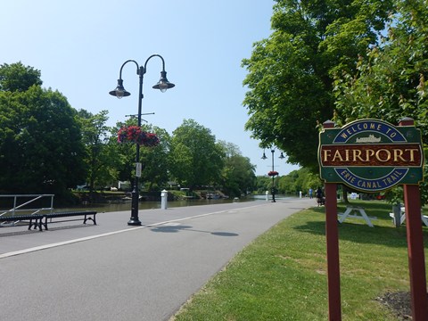
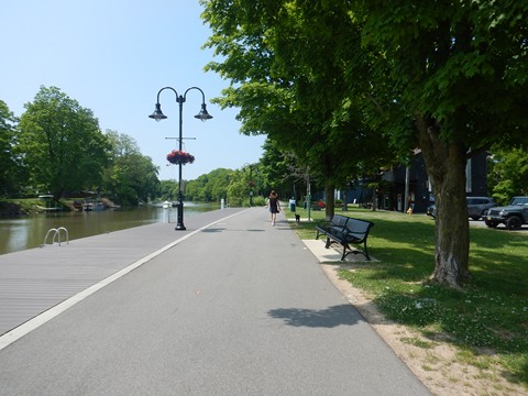
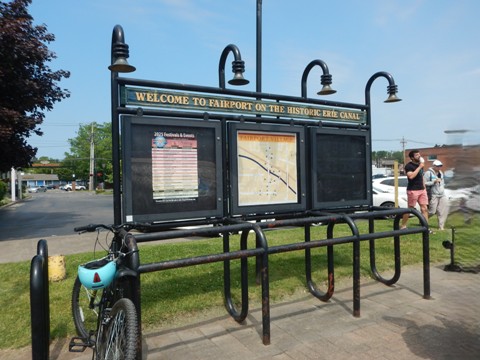
The Village of Fairport, with the opening of the Erie Canal in 1825 and later arrival of the railroad, became a leading center of transportation and industry. Today, the Canal remains a focal point for residents and visitors. This is a scenic section of the Canalway Trail, running through the Fairport Harbor area with nearby restaurants, shops and accommodations. It's a hub for activities including bicycling, paddling (bike, kayak/canoe rentals available), and the annual Canal Days art festival. The Colonial Belle here is the largest tour boat operating on the historic Erie Canal with sightseeing cruises to Pittsford and through Lock 32.
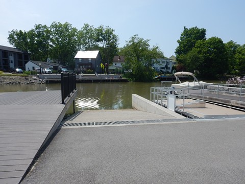
- We visited the area at Fairport Harbor centered along Main Street. This is a popular gathering place with shopping and dining. Parking is readily available at several parking lots adjacent to the trail.
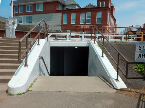
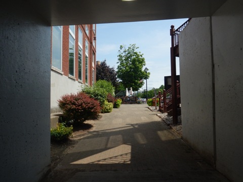
- While the original Erie Canal Heritage Trail runs alongside the canal, getting under the Main Street bridge includes stairs. A more bike-friendly route detours into town along Lift Bridge Lane. The two sections run parallel, we visited both as a loop.
Main Street to Fairport Docks
(east to west)
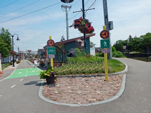
After diverging from the original canalway, the trail crosses Main Street near the Fairport Lift Bridge and then runs along Fairport Lift Bridge Festival Street, now a dedicated pedestrian/biking path with shops and restaurants.
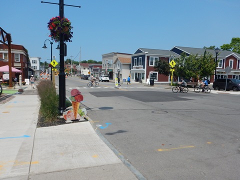
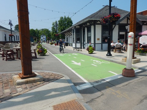
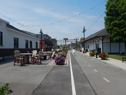
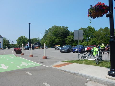
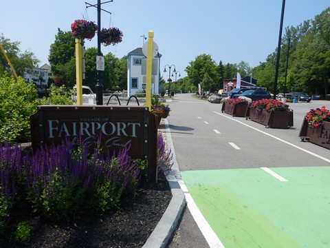
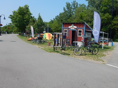
Call-out to Erie Canal Boat Company (bike, kayak and canoe rentals), the only Adaptive Paddling and Cycling Center located on the Erie Canal waterway and the Empire State Trail.
Along the Canalway
(west to east)
The original Erie Canal Heritage Trail runs canalside. From the docks, we visited the trail alongside the canal, under Main Street at the Fairport Lift Bridge, and east to Parker St. Along this stretch are parking, restaurants and shops, boat docking and tours.
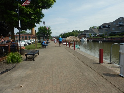
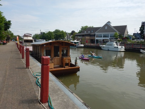
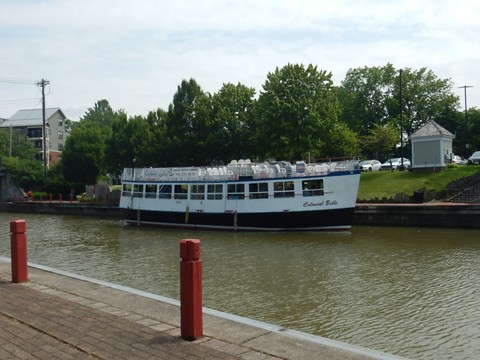
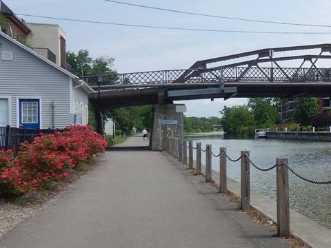
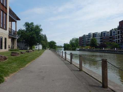
The Colonial Belle here is the largest tour boat operating on the historic Erie Canal with sightseeing cruises through Lock 32 to Pittsford.
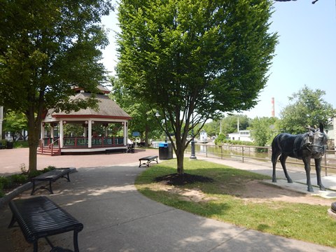
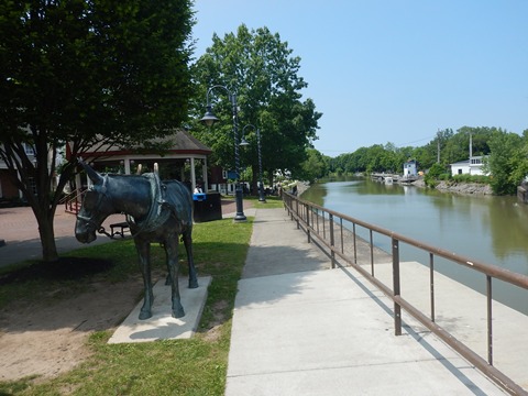
Fairport Village at Kennelly Park,
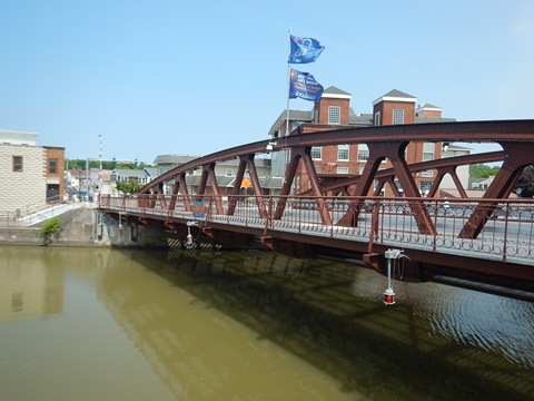
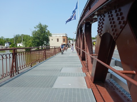
Fairport Lift Bridge
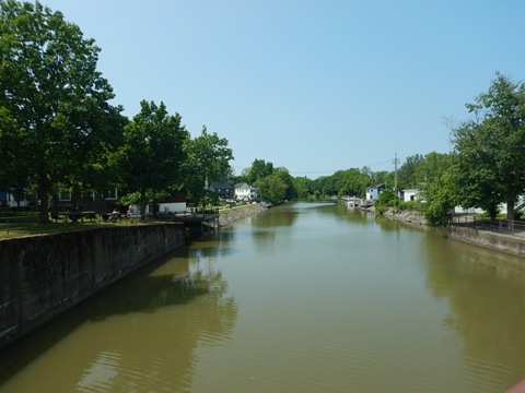
To the south, across the Fairport Lift Bridge (built 1913-14) is Fairport Village Landing , with more shops and restaurants, the public library. Vincent G. Kennelley Memorial Park lies along the canal at the center of Fairport Village.
Pittsford (mile 260)
First settled in 1759, the Town of Pittsford, like many in the area, grew with the completion of the Erie Canal in 1825, the later arrival of the railroad and expansion of the Barge Canal. Many sites are listed on the National Register of Historic Places.
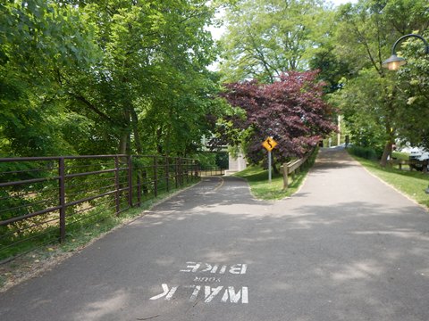
- The trail approaching from the east is off-road stonedust, becoming paved in Pittsford. Continuing west, the trail is off-road paved.
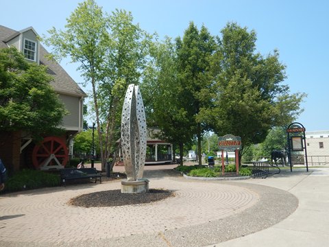
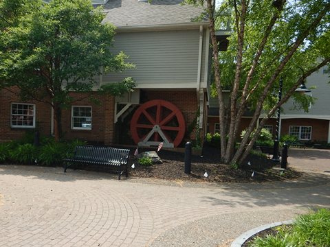
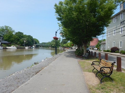
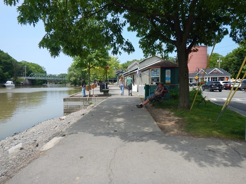
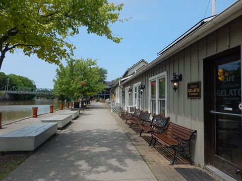
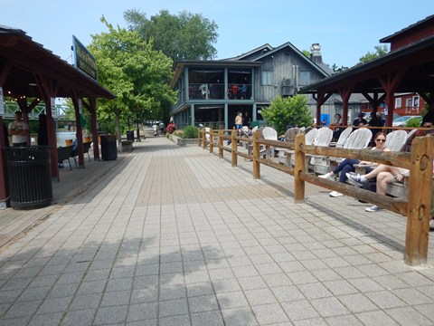
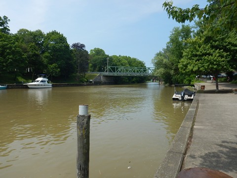
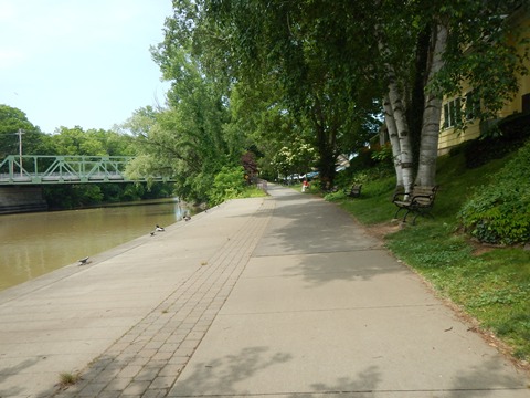
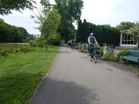
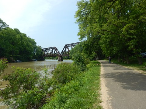
- We visited Erie Canal Park along the Canalway Trail at Schoen Place, a popular canal landing and shopping area with restaurants, shops, and other businesses. We found it to be a fun mix of sightseers, diners, shoppers, bikers, hikers, and walkers.
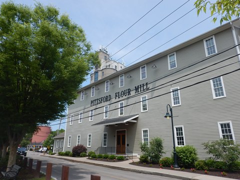
- Once a commercial hub including a lumberyard, mill, and other industries, many of the buildings were converted into today's shops and restaurants. The historic Pittsford Flour Mill (1882) and Grain Tower (1937) now house offices.
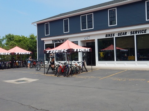
- Canal boat tours, bicycle, kayak and canoe rentals are available. Parking is readily available.
Erie Canal Park at Schoen Place
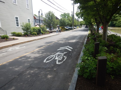
The canalside promenade (the original towpath) is designated for pedestrians - walk your bike. Bikers are redirected to the roadway along Schoen Place.
Rochester (mile 269)
Rochester is a large and vibrant city with history, art, nature and more (see more at Genesee Riverway Trail). The Erie Canalway Trail in Rochester includes urban and rural sections, link below) but our visit was limited to the trail at wonderful Genesee Valley Park.
- We highlight this as **A Suggested Ride** area, including the Canalway Trail and intersecting trails.
Genesee Valley Park
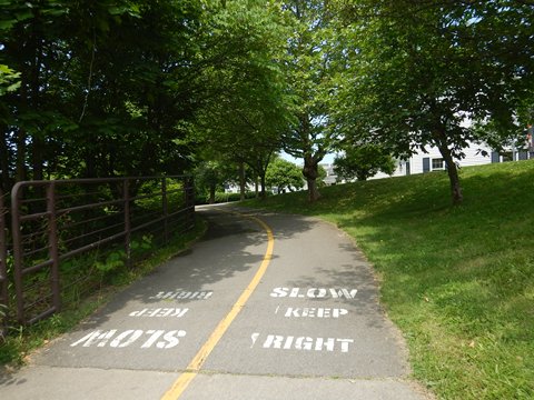
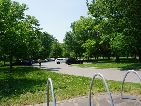
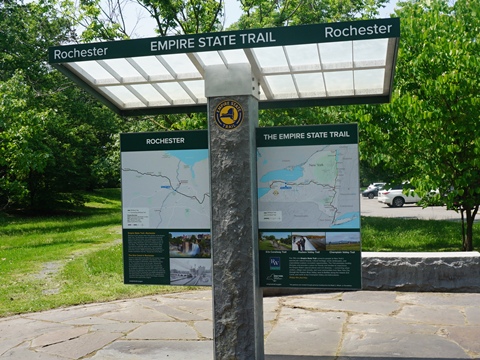
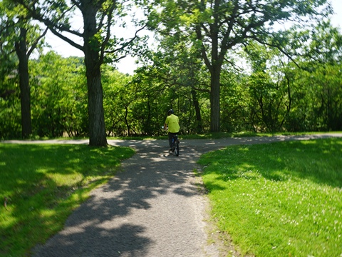
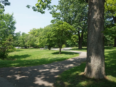
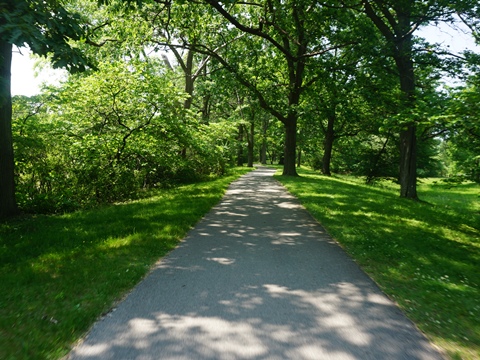
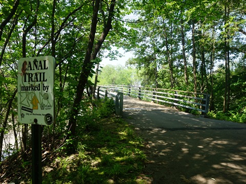
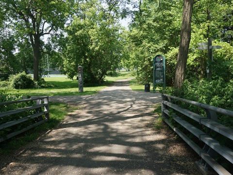
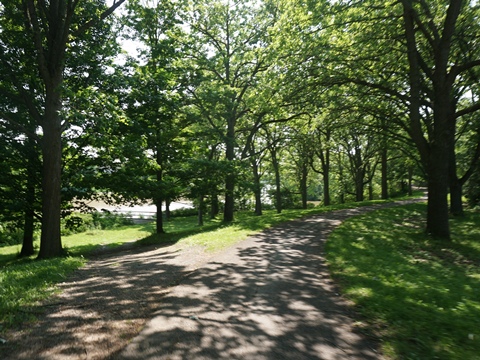
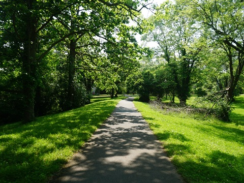
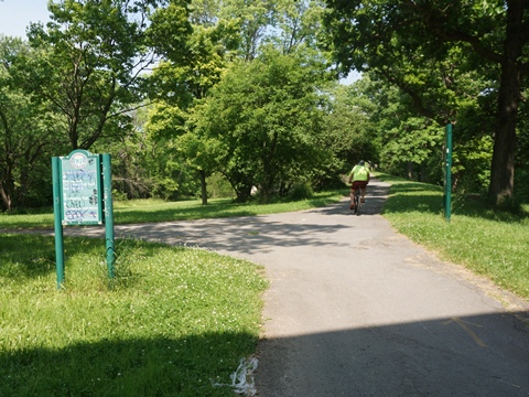
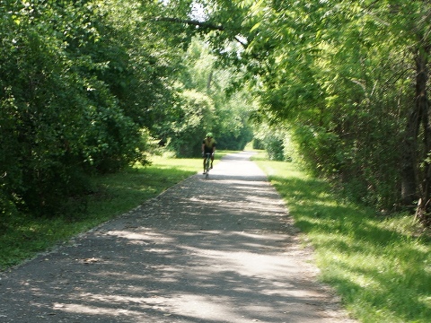
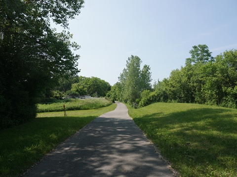
Genesee Valley Park is a gem. It serves as a trailhead for the Erie Canalway Trail and is a connecting point to the Genesee Valley Greenway and Genesee Riverway Trail. The trails are paved and easy to ride, well marked with directional and informational signs.
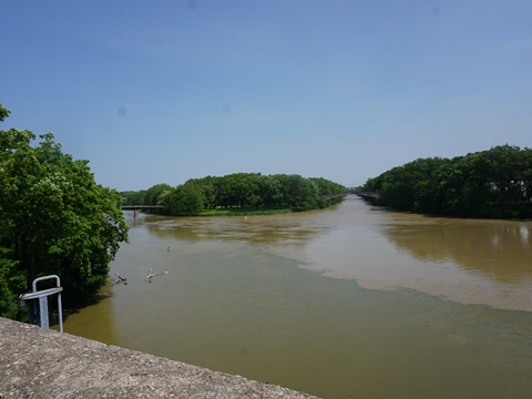
The scenic 800-acre park opened in 1888, designed by renowned landscape architect Frederick Law Olmsted. The Erie Canal and Genesee River intersect here, offering water views as well as fishing and paddling (kayak/canoe rentals available). Other amenities include parking, restrooms, picnicking, hiking and biking trails, playgrounds, and multiple sporting facilities including two 18-hole golf courses.
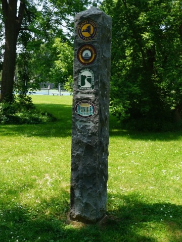
Trails connect (marker)
Erie Canalway Trail
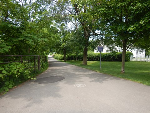
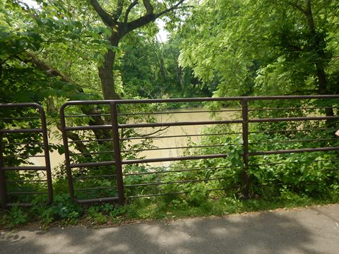
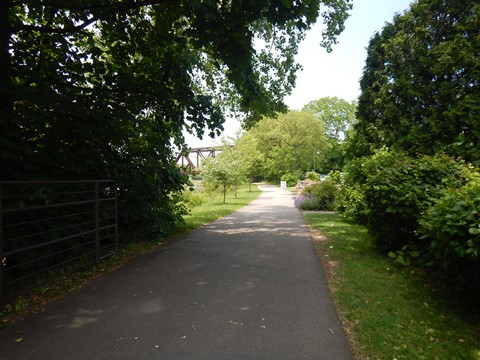
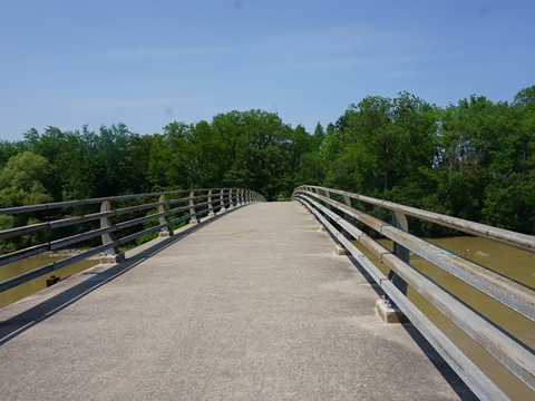
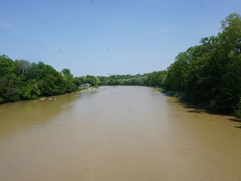
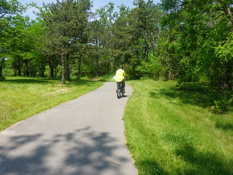
The Erie Canalway Trail at Genesee Valley Park is paved and easy to ride. It runs through a portion of the park, crossing the Genesee River
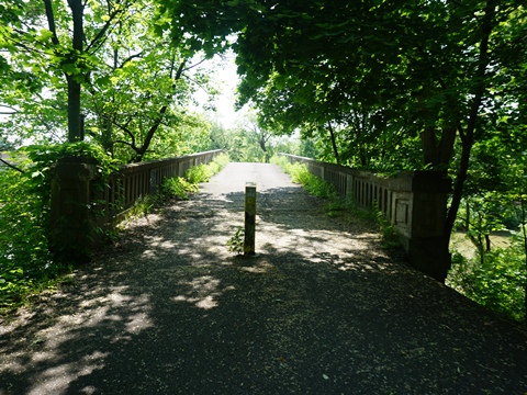
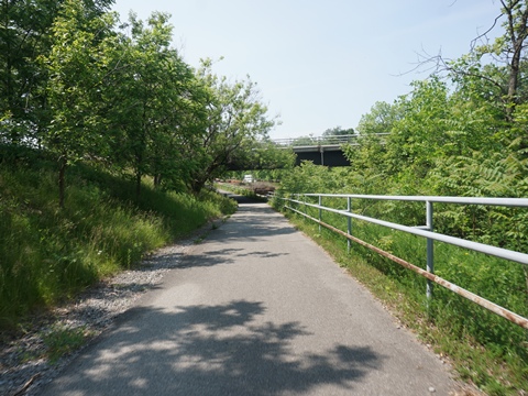
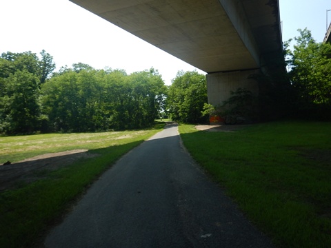
- The trail is shared with the Genesee Riverway Trail as it crosses the Genesee River. Then the Genesee Valley Greenway joins the route, and the three cross the Erie Canal near the juncture with the Genesee River. They then diverge at a point under I-390, which bisects the park.
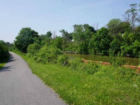
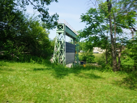
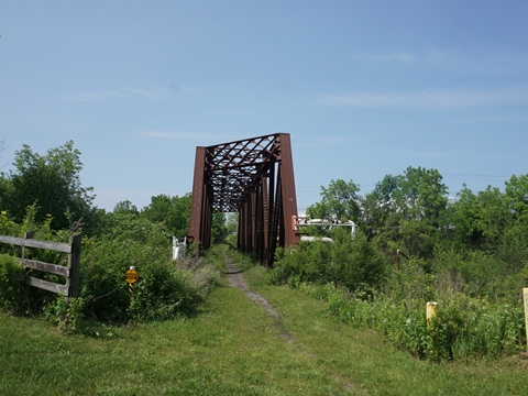
- The Erie Canalway Trail continues canalside. Canal structures can be seen. This section is mostly unshaded.
In the Park
Genesee Valley Greenway State Park
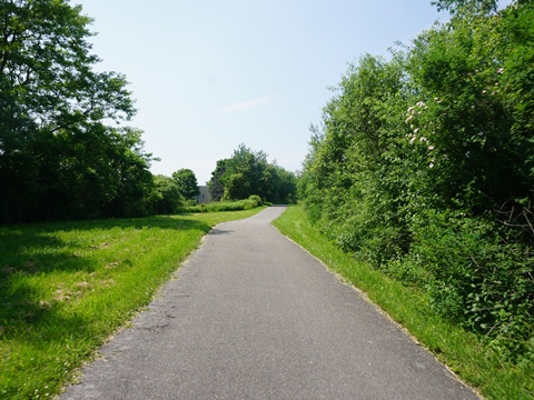
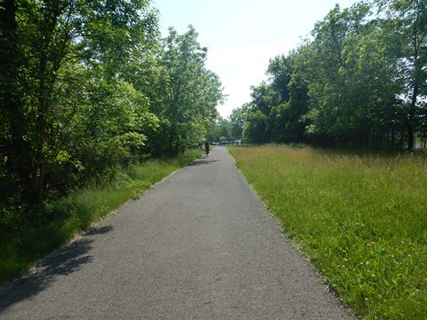
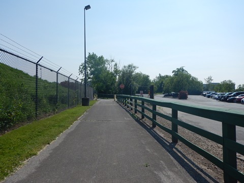
The Genesee Valley Greenway State Park is a 90-mile linear park running from Genesee Valley Park (where it meets the Erie Canalway Trail) to the Village of Cuba in Allegany County. It follows the route of the Genesee Valley Canal (1840-1878) and the Pennsylvania Railroad (1882-1963). The trail is paved for the first two miles with the remainder on gravel, grass, and packed dirt.
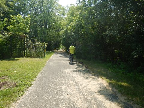
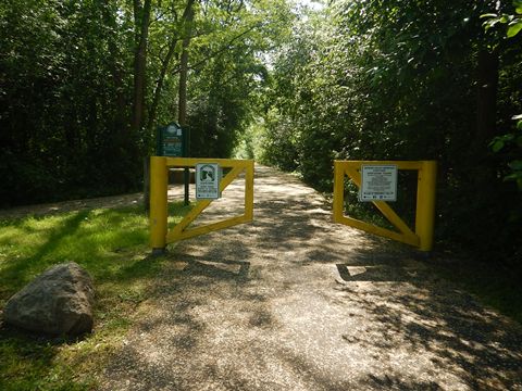
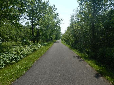
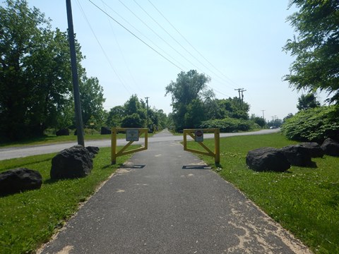
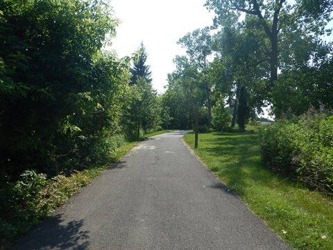
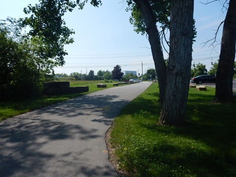
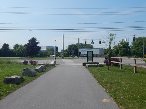
- We visited the paved portion of trail from Genesee Valley Park to Scottsville Rd., about 2 miles. Shortly past here, the pavement ends.
- After passing some municipal facilities, the trail enters a wooded corridor. This runs through a commercial area, but widely buffered by trees until approaching Scottsville Rd.
Genesee Riverway Trail
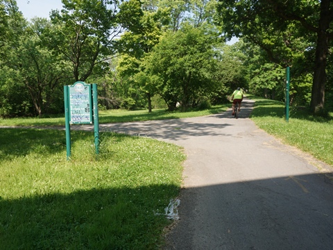
The Genesee Riverway Trail runs for 24 miles along the Genesee River from the Erie Canal at Genesee Valley Park, through downtown Rochester, to Lake Ontario. Our visit was limited to Genesee Valley Park.
- After riding the shared section of trail where it crosses the Genesee River, we then briefly cut off onto the Riverway Trail.
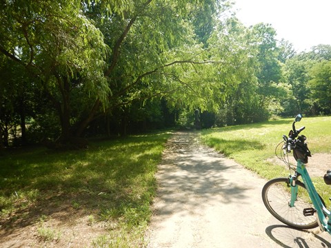
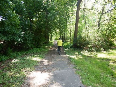
This ended our exploration to date of the Erie Canalway Trail and nearby places of interest in the West-Central Section.
CONTINUE TO THE WEST SECTION, ROCHESTER TO BUFFALO
RETURN TO ERIE CANALWAY TRAIL OVERVIEW
Copyright © BikeTripper.net. All Rights Reserved. Have Bikes - Will Travel