Bike Tripper
Have Bikes, Will Travel
Bike Trail Maps & Photos Galore
You are here >
Home >
New York >
Erie Canalway Trail >
East Section
Latest update: June 2025
Erie Canalway Trail... East
Biking and Touring from Albany to Little Falls, NY
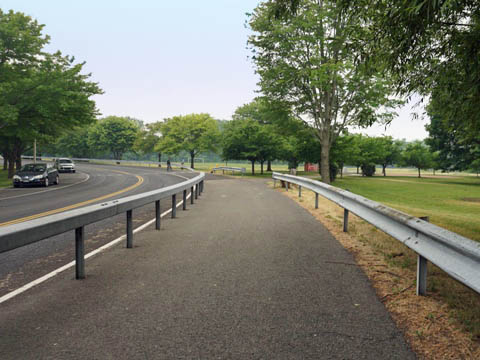
This section of the Canalway runs 90 miles from Albany to Little Falls. The first section north from Albany to Cohoes runs along the Hudson River with scenic views. Turning westward, the trail then follows the Mohawk River. The biking route here is paved with just a few on-road sections. Some sections run near major roadways with road noise possible.
- As casual Bike Trippers,
we visit historic and interesting sites along the way while seeking
out easy, paved and (preferably) quiet away-from-the-road sections of
trail for pleasant out-and-back rides. Two
Suggested Rides in this section:
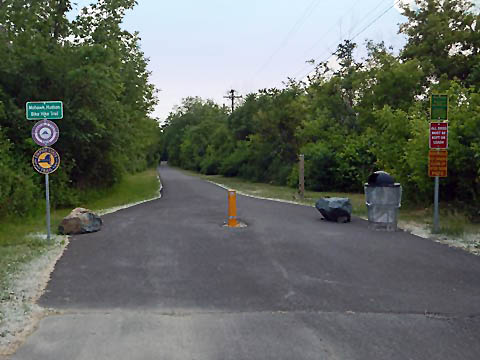
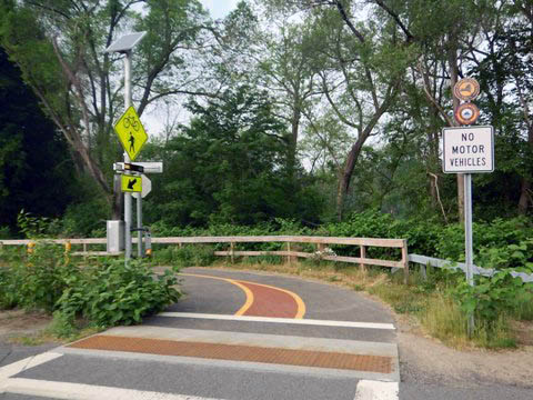
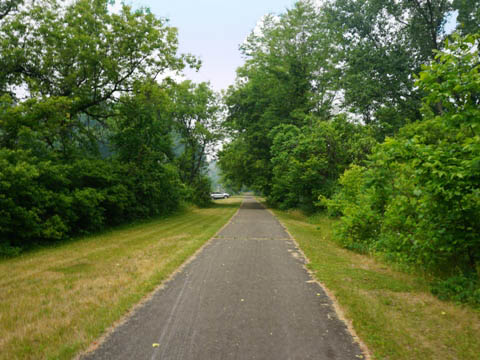
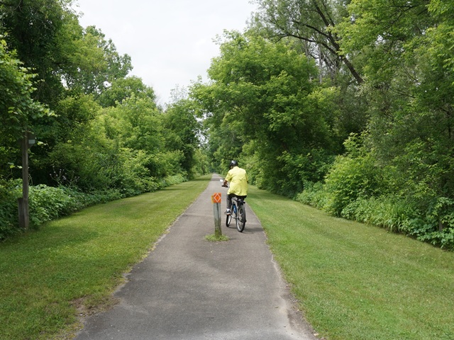
- Mohawk-Hudson Bike-Hike Trail at Niskayuna - 4 miles
- Erie Canalway Trail from Amsterdam to Fort Hunter - 6 miles
(Detailed map and photos below.)
Location: Albany to Little Falls, NY (See map)
Distance: 90 miles
Surface: Various - paved asphalt, compacted
stonedust, on-road
Bike Shops/Rentals:
View full list of bike shops 
Erie Canalway Trail - Albany to Little Falls - 90 miles
- Canalway at Albany
- Corning Preserve Trailhead - Mohawk-Hudson Bike-Hike Trail
- Albany to Rotterdam Junction
** A Suggested Ride at Niskayuna - A Section of the Original Erie Canal
- Vischer Ferry Nature & History Preserve - Canalway at Amsterdam
- Amsterdam Trailhead, Amsterdam South Side
- More in Amsterdam: Mohawk Valley Gateway Overlook, Riverlink Park, Chuctanunda Creek Trail - Amsterdam to Fort Hunter
** A Suggested Ride
- Amsterdam to Yankee Hill Lock
- Yankee Hill Lock to Fort Hunter
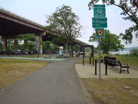
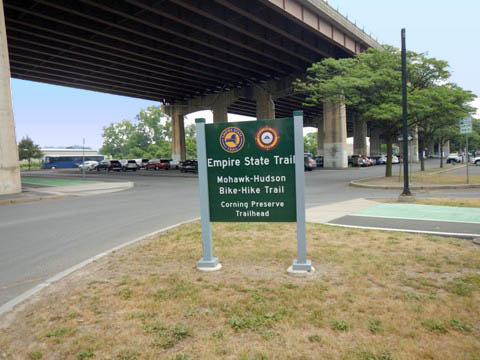
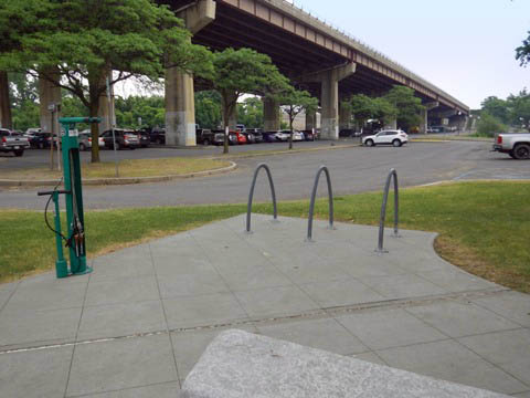
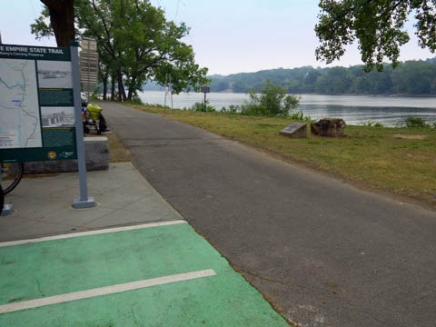
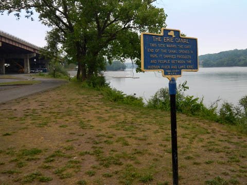
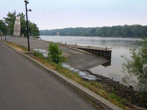
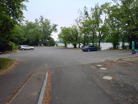
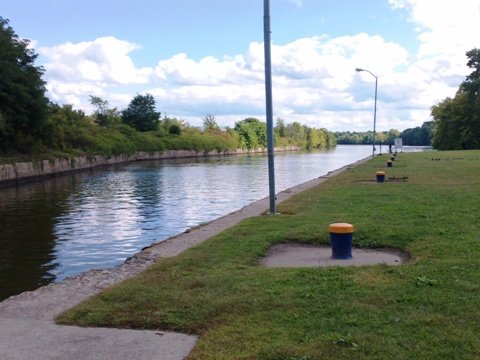
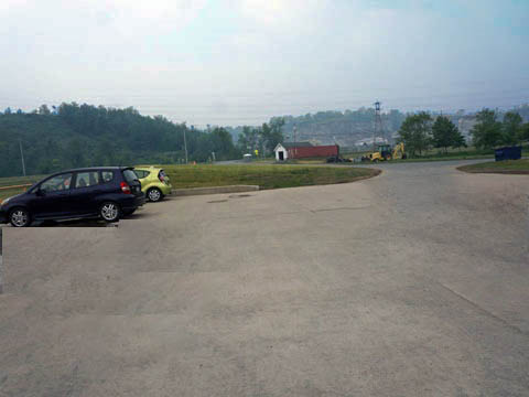
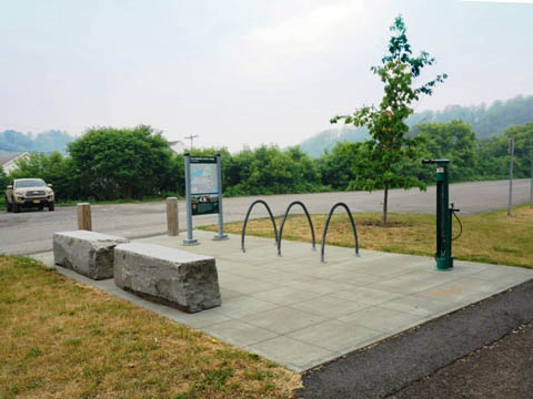
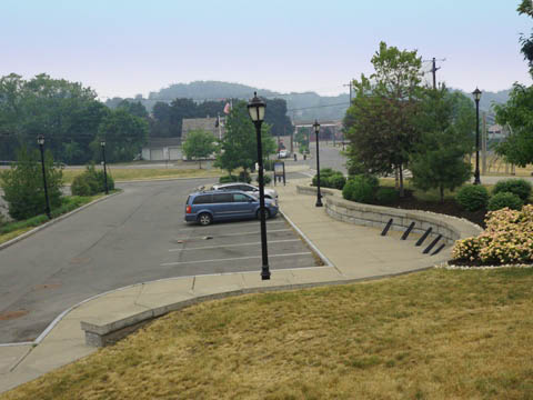
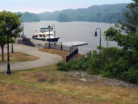
Canalway at Albany (mile 0)
Corning Preserve Trailhead
The Erie Canalway Trail starts at Corning Riverfront Preserve on the western shore of the Hudson River in Albany, NY. The trailhead is located at Quay St. and Colonie St., near downtown Albany, with parking next to (and under) I-787, benches and a fix-it station, and close to the Corning Preserve boat ramp. Link to downtown Albany from here, crossing I-787 via the Albany Skyway - formerly an underused highway ramp, now an elevated park with bridge and multi-use path.
** History: This marks the east end of the Erie Canal. When the Canal was completed in 1825, Albany boomed as an important regional hub, with a huge lumber trade at the port. After cars and trains became the main means of transport, the canal basin was eventually filled in and is now Corning Riverfront Preserve.
Albany to Rotterdam Junction (mile 0-38)
Mohawk-Hudson Bike-Hike Trail
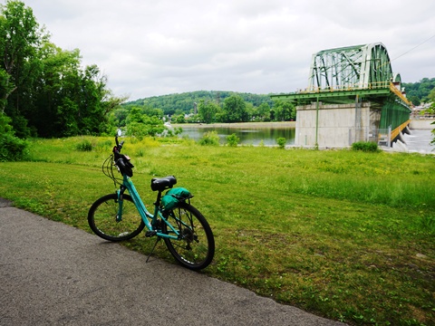
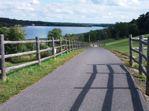
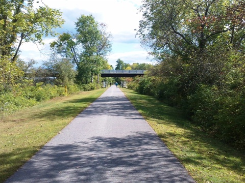
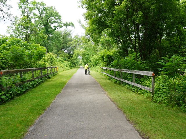
This section of the Erie Canalway Trail is also called the Mohawk-Hudson Bike-Hike Trail and runs 40 miles along the Hudson and Mohawk Rivers from Corning Preserve in downtown Albany, through Schenectady to Rotterdam Junction. With scenic views and parks along the way, the trail is diverse - from urban to suburban areas, to woods and fields, and the ever-present rivers.
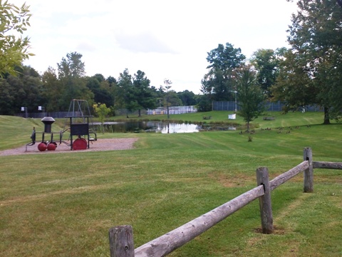
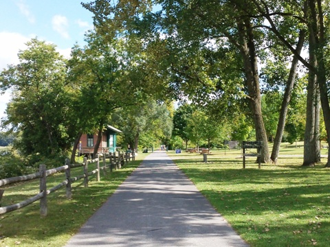
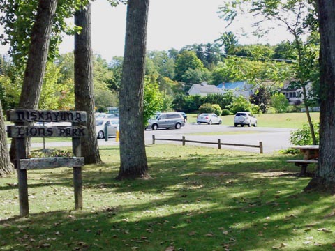
**A Suggested Ride**: 4 miles at Niskayuna with stunning Mohawk River views. The trail connects 3 parks: Jeff Blatnick Park, Canal Lock 7 Park, and Lions Park.
Mohawk-Hudson Bike-Hike Trail


** Suggested Ride at Niskayuna

A Section of the Original Erie Canal
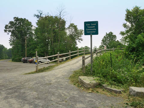
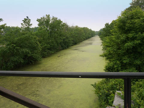
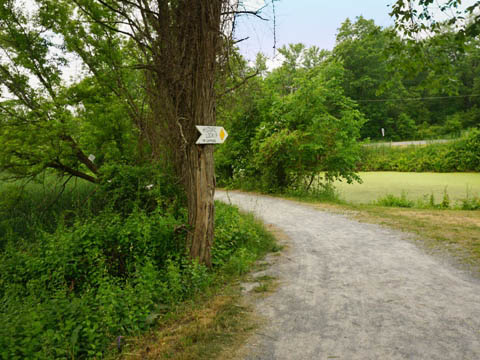
We visited remnants of the old Erie Canal and towpath at 700-acre Vischer Ferry Nature & History Preserve, located on the north shore of the Mohawk at Clifton Park, across from today's Canalway Trail.
Vischer Ferry Nature & History Preserve
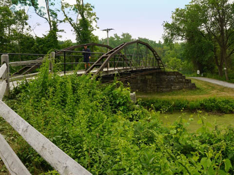
From the main trailhead at Riverview and VanVranken Roads (parking, bike rack, picnic), cross the restored 1862 Whipple Truss Bridge over the Canal. Signs point to several trails, and to the old Towpath.
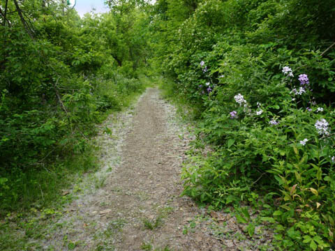
- The towpath trail is bikeable (fat wheels or mountain bikes recommended). Historic markers are located throughout the Preserve - visit Double Lock 19 , the site of Fort's Ferry (1672, the first European settlement in Clifton Park), and Chutes Dry Dock (1852, where canal boats were repaired).
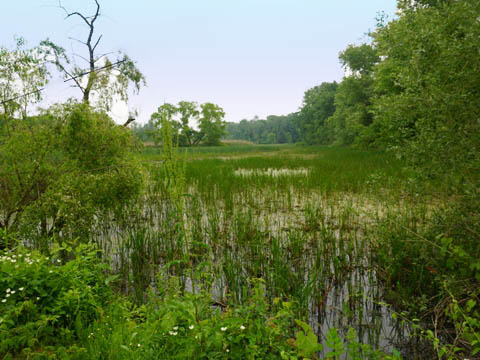
- Other trails loop through the Preserve, past wetlands and floodplain (can be muddy or flooded after rains). It's also a designated Bird Preservation Area with over 200 species spotted, plus turtles and other wildlife native to a wetlands ecosystem.
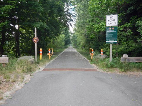
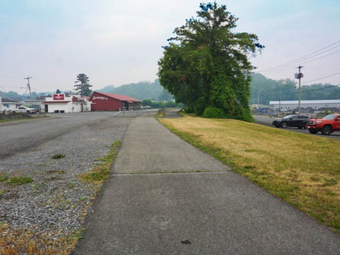
Rotterdam Junction to Amsterdam (mile 38-46)
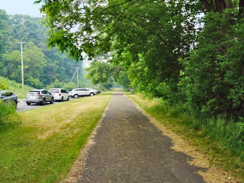
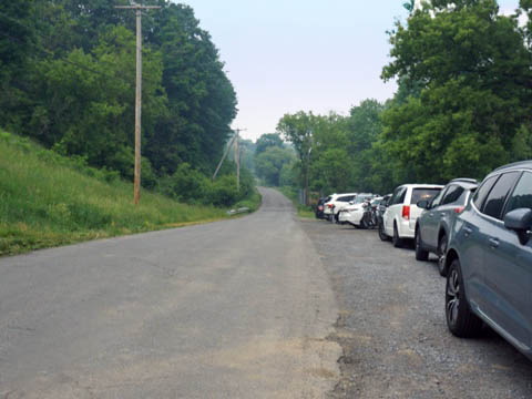
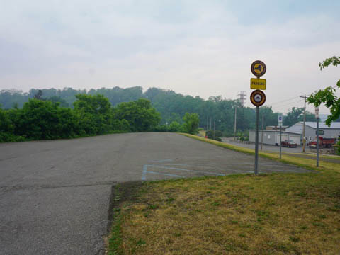
Pattersonville Trailhead at Rotterdam Junction
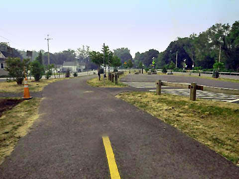
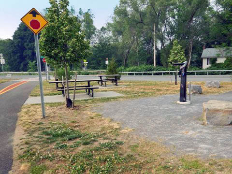
The Pattersonville Trailhead is located along River Rd. (SR 5S/Main St.), with parking, picnic tables, and bike fix-it station.
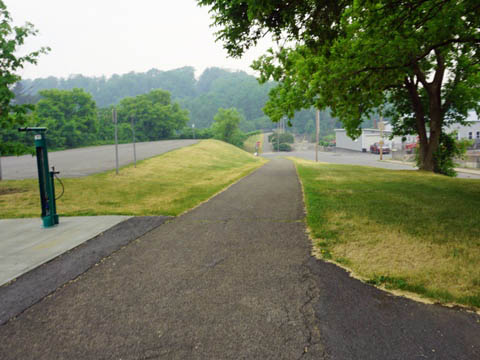
- This is the end of the Mohawk-Hudson Bike-Hike Trail. The Erie Canalway Trail / Empire State Trail, however, continues on its westward route, running through a shaded corridor paralleling SR 5S, buffered from the road.
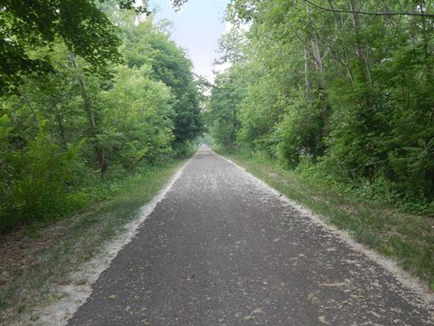
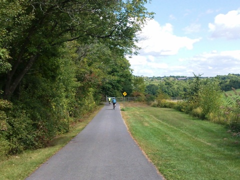
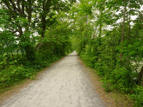
Pattersonville Trailhead to Amsterdam
The 8 miles to Amsterdam is an easy, off-the-road ride between the Mohawk River and SR 5S/Cleveland Ave. This passes through quiet woodland and farmland, with parking, porta-potty and boat launch at Canal Lock 10, plus a roadside parking area along lightly traveled Cleveland Ave.
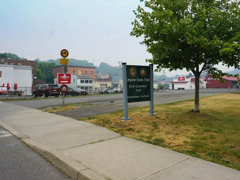
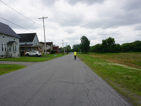
Amsterdam (mile 46)
Amsterdam is an historic old city that we enjoyed, and we spent
some extra time visiting places of interest and learning more about
its history (see
detailed history here ).
Amsterdam Trailhead
In Amsterdam, the Canalway trail runs alongside Erie St. to the Amsterdam Trailhead at Erie and Bridge Sts. The trailhead has parking, picnic table and a fix-it station.
Located in Amsterdam's South Side neighborhood, there are several restaurants nearby, as well as historic points of interest. The area was originally the village of Port Jackson, but was annexed into Amsterdam in the 1880's.
Amsterdam Castle (1895)
Amsterdam Castle at 49 Florida Ave. was
built in 1895 as the Amsterdam Armory for the
New York Army National Guard.
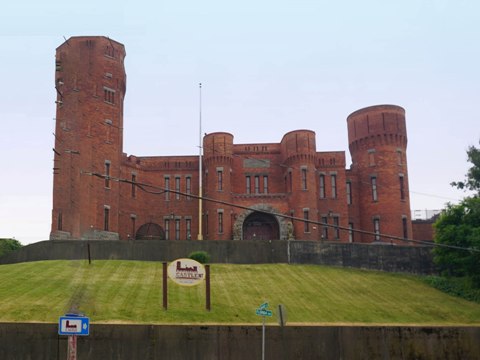
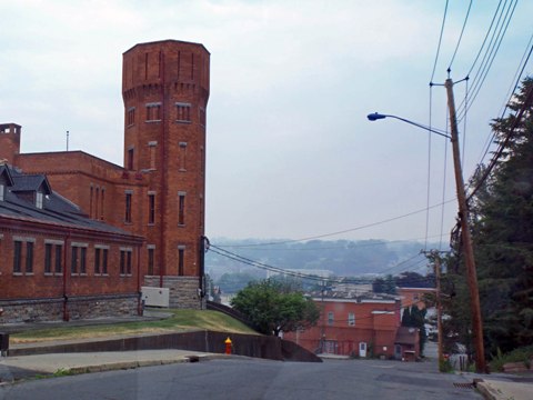
Built in the "castellated" Victorian
Style popular at the time, the property served as an Armory until
1994 when it passed to private hands. Later extensively renovated,
it's now a 21-room boutique hotel and restaurant, with a private
residential wing. Listed on the National Register of Historic Places.
More
information.
Samuel Sweet Canal Store (1850)
The Sweet Canal Store, 65 Bridge St. Built 1850 to service barges on the Erie Canal, serving as a store and warehouse.
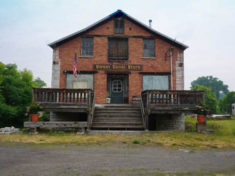
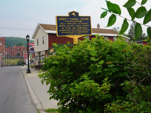
Listed on the National Register of Historic Places.
South Side Veterans Memorial Park
Across Bridge St. from Sweet Canal Store, honoring South Side Armed Forces members who served and died.
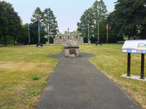
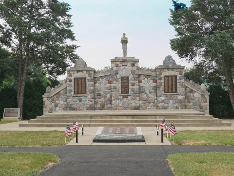
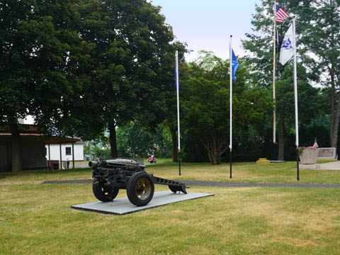
The Veterans Memorial was erected in 1946 to honor World War II service members, with plaques later added honoring those serving in Korea and Vietnam.
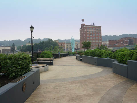
Mohawk Valley Gateway Overlook
The stunning pedestrian bridge across the Mohawk (511 feet, 30-foot-wide) links Amsterdam's South Side to the north at Riverlink Park. River views, benches, artwork, and historic exhibits.
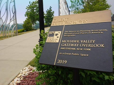
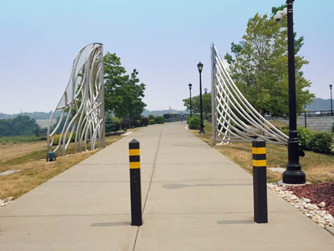
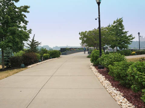
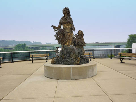
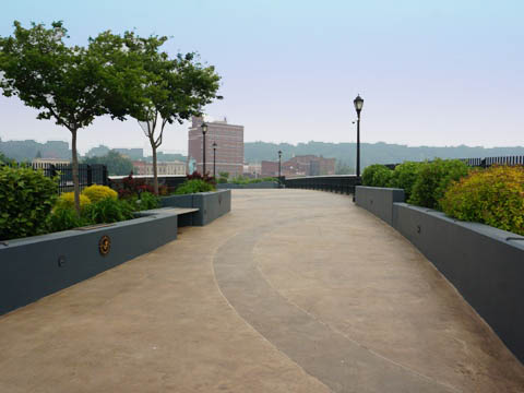
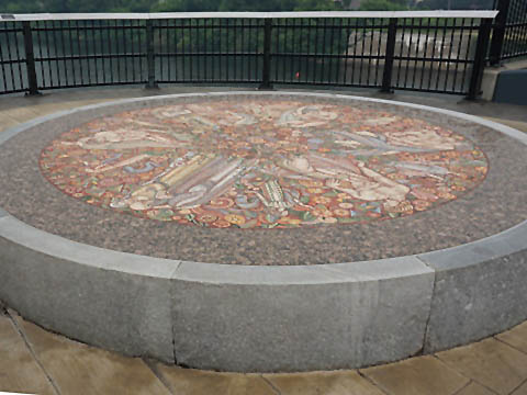
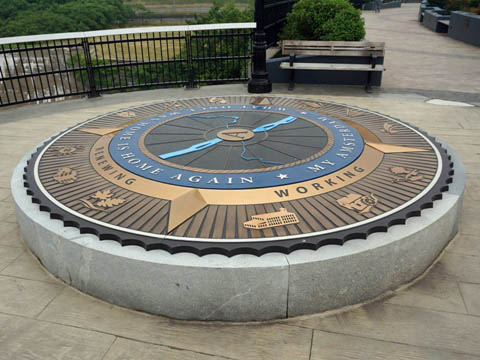
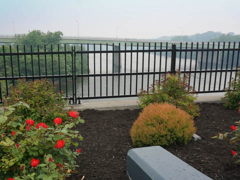
Designed
as a landscaped "park over the water" with trees and flowers, it
features river views, benches, artwork and exhibits describing the
area's history and its neighborhoods.
More information.
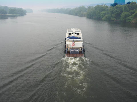
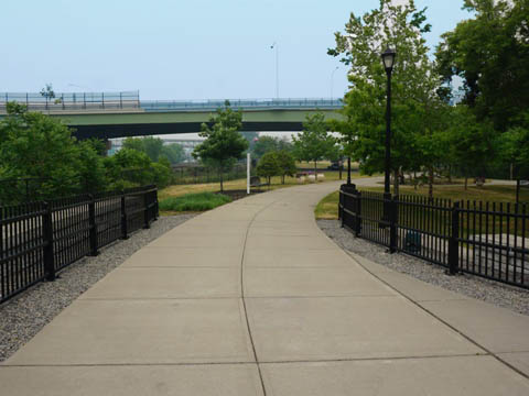
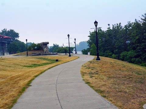
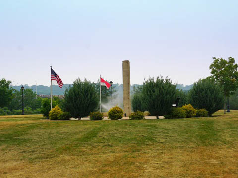
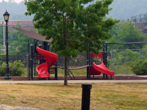
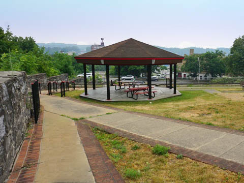
Riverlink Park
The park runs along the Mohawk with river views, the 9/11 Memorial, walking/biking paths, picnic tables, public art, informational signs, playground, restaurant, and Marina/boat dock.
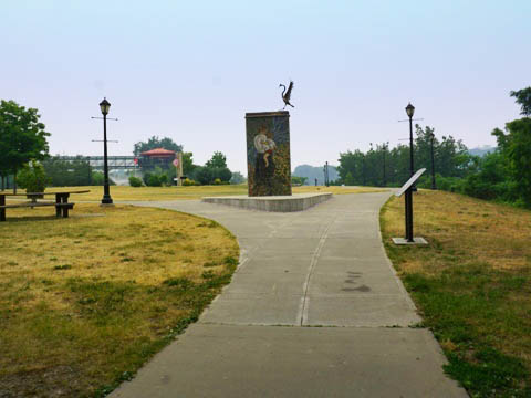
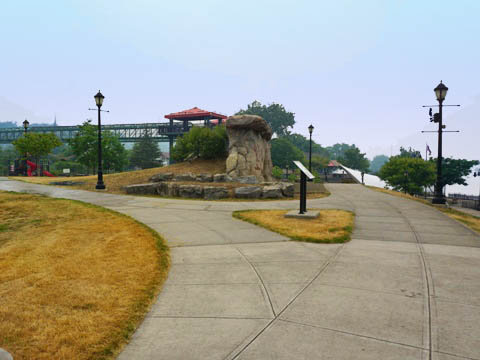
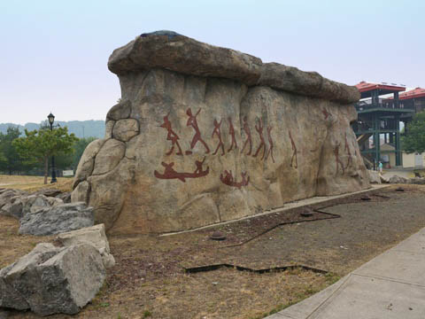

Peregrine falcons nest under the Church St.
(SR30) bridge - we saw one up close at the Painted Rocks
display (a sculpture recreating Native American pictographs found on limestone cliffs near here).
More information
Kirk Douglas Park
Part of the 4-mile Chuctanunda Creek Trail, this urban park (named for the actor, an Amsterdam native) has playground, benches, picnic tables, and two waterfalls along Chuctanunda Creek.
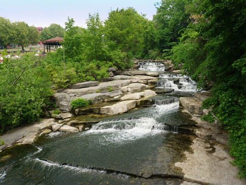
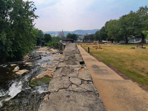
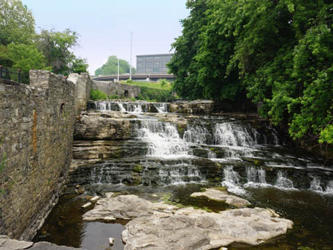
The park is at the historic location where Albert Vedder founded Amsterdam in the 1770's, with saw and grist mills powered by the creek.
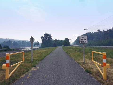
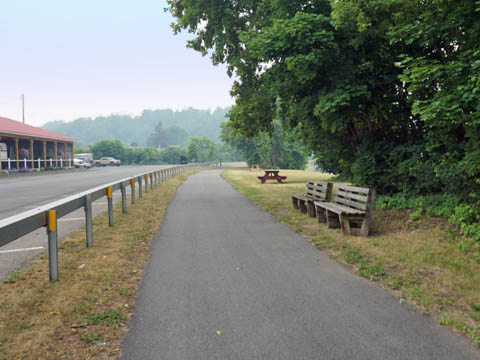
Amsterdam to Fort Hunter (miles 46-52)
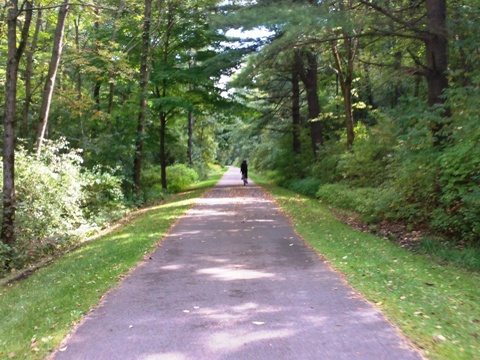
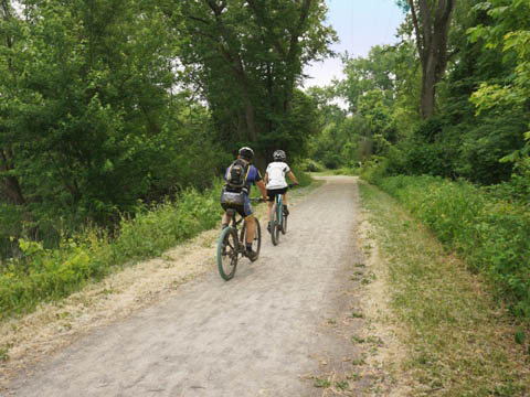
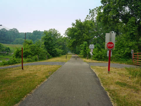
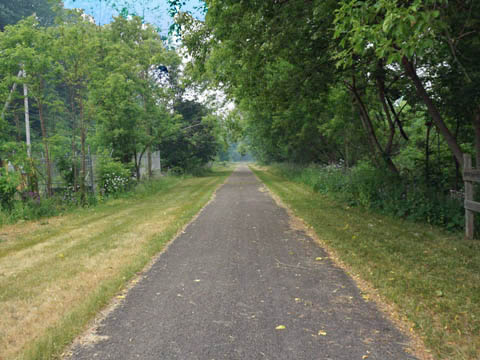
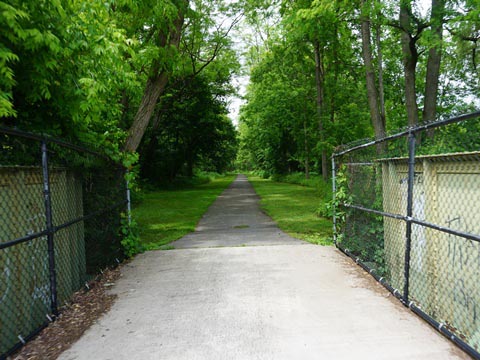
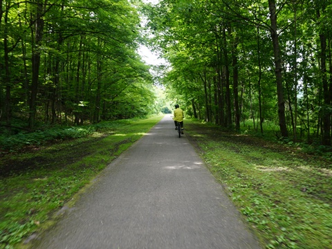
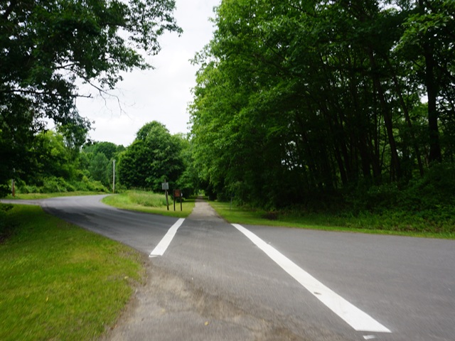
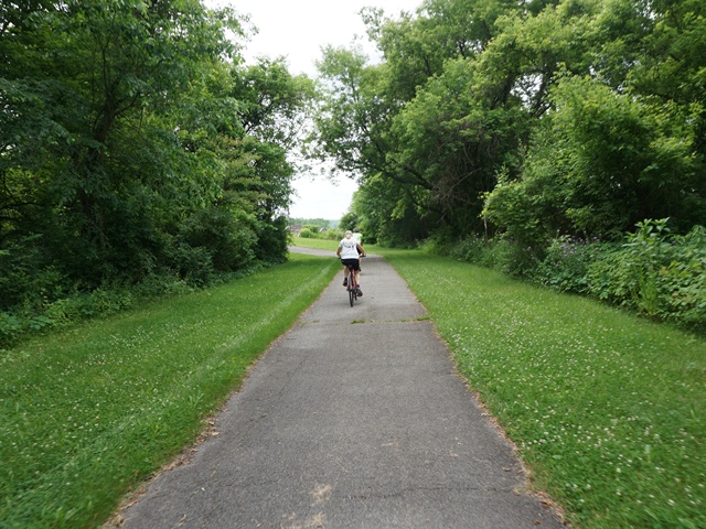
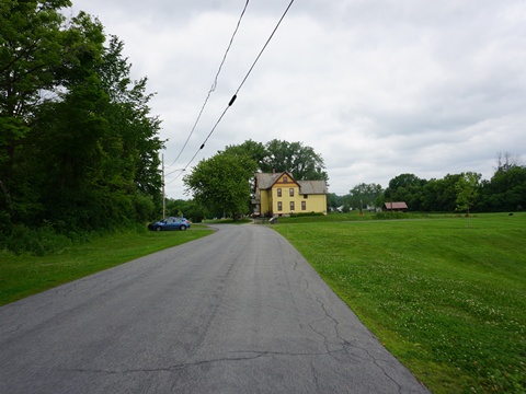
**A Suggested Ride**: From the Amsterdam Trailhead westbound, we enjoyed the 6-mile ride from Chuctanunda Creek to Schoharie Creek at Fort Hunter. This was wooded and quiet, removed from major roads. A few road crossings are along lightly-traveled Queen Anne Rd.
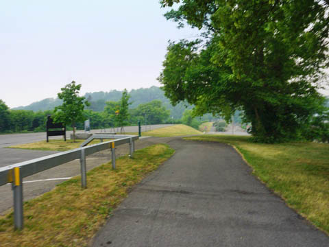
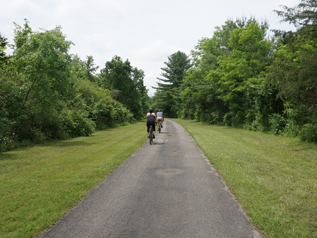
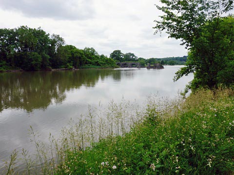
Chuctanunga Creek to Yankee Hill Lock (3 miles)
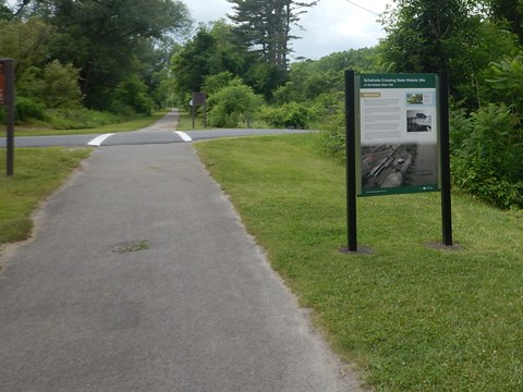
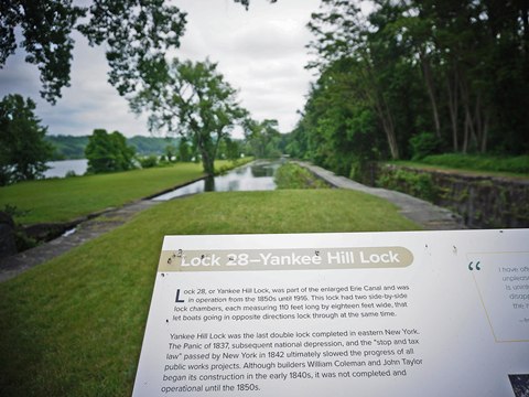
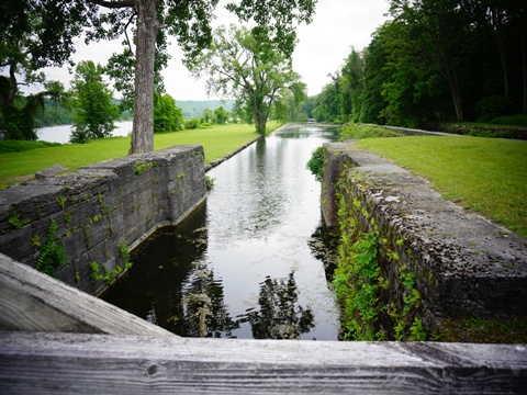
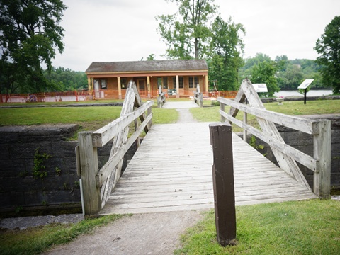
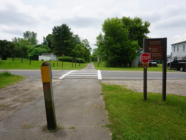
After crossing Chuctanunda Creek, the surroundings change from urban to rural. The paved trail here loops north away from roadways (for a quiet ride) and runs through woodlands and past wetlands with river views. The trail enters the Schoharie Crossing State Historic Site district at Yankee Hill Lock (Lock 28).
- Schoharie Crossing State Historic Site is an
historic district dedicated to protecting remaining structures
of the three phases of the canal: the original (1825) and enlarged (1836-62) Erie Canal, and
Barge Canal (1918). The district spans about 1000 acres and has many outdoor recreational activities
(biking, hiking, kayaking and more).
More information .
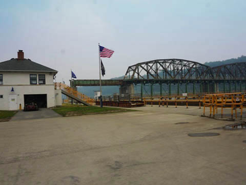
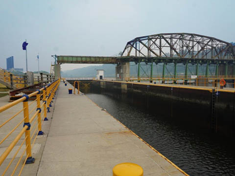
- Yankee Hill Lock (Lock 28) has parking, picnic area, historic markers, and a porta-pottie. The historic Putman's Canal Store (1856) on site was under renovation when we visited.
Along the trail
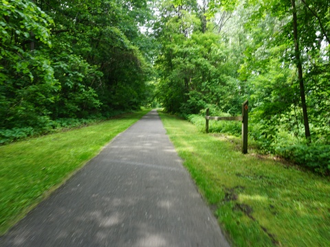
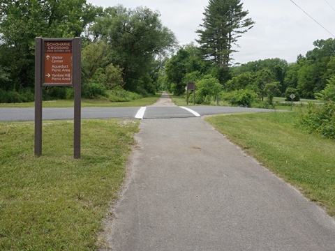
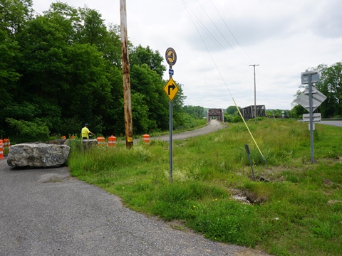
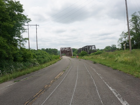
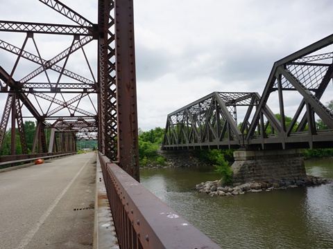
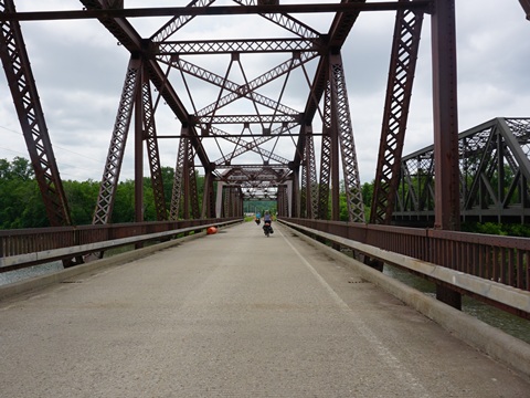
Yankee Hill Lock to Schoharie Creek (3 miles)
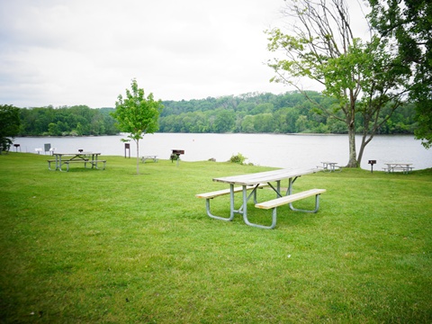
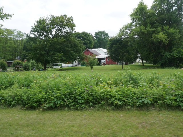
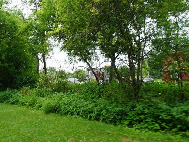
The trail continues with similar scenery and river views, passing some farms along the way..
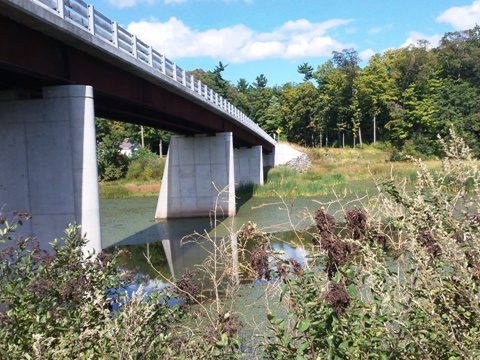
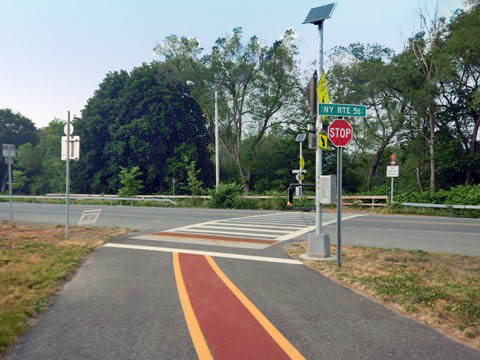
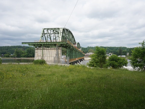
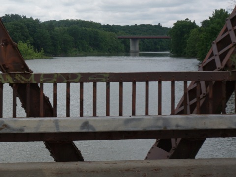
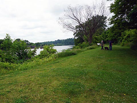
- Schoharie Crossing is at the confluence of the Mohawk River and Schoharie Creek. At Schoharie Creek are twin bridges, one carries vehicles and the other was converted to a dedicated pedestrian/bike bridge - a highlight on this ride.
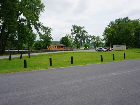
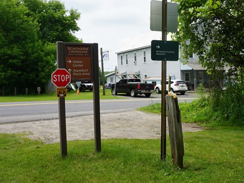
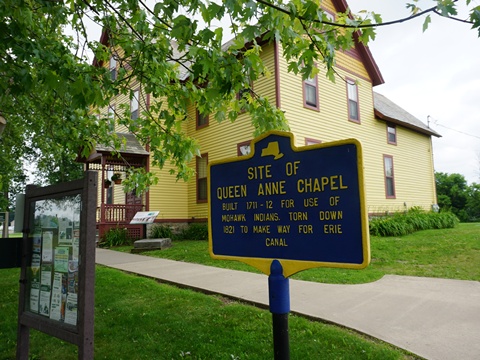
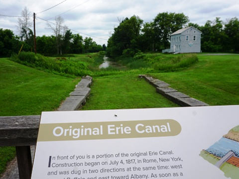
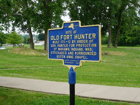
- A worthwhile stop here is the Schoharie Crossing State Historic Site Visitor Center and Museum. At Main St. (before crossing the creek), turn right onto Main St. then left onto Railroad St. It's about 1/2 mile on quiet streets to the visitor complex. Here are the Visitor Center with historical information, parking, restrooms, picnic and playground. It's the site of Tiononderoge, a Mohawk Indian village of the 1700's, and of British Fort Hunter (1712). Remnants of the original Erie Canal are on site. Remains of the Schoharie Creek Aqueduct (1850) can be seen nearby.

This ended our exploration to date of the Erie Canalway Trail and nearby places of interest in the East Section.
CONTINUE TO THE EAST-CENTRAL SECTION, LITTLE FALLS TO SYRACUSE
RETURN TO ERIE CANALWAY TRAIL OVERVIEW

Copyright © BikeTripper.net. All Rights Reserved. Have Bikes - Will Travel