Bike Tripper
Have Bikes, Will Travel
Bike Trail Maps & Photos Galore
You are here >
Home >
New York >
Erie Canalway Trail >
East-Central Section
Latest update: June 2025
Erie Canalway Trail... East-Central
Biking and Touring from Little Falls to Syracuse
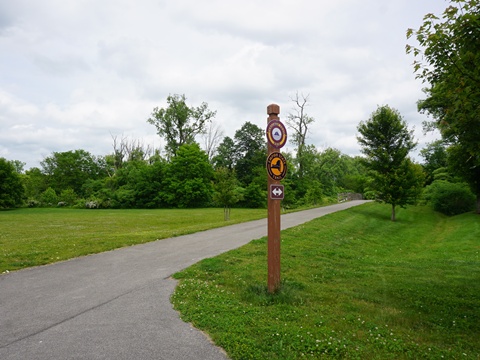
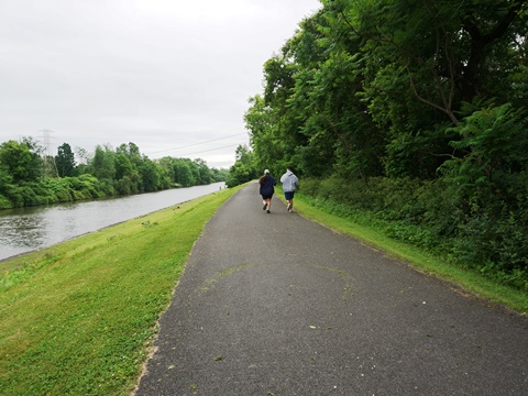
This section of the Ere Canalway Trail runs 84 miles between Little Falls and Syracuse, NY. As bike-trippers, we visited trail segments, riding some (preferably paved) enjoyable sections, and visiting places of interest along the way. The first section at Little Falls is paved, then proceeding westward has more unpaved or along some longer on-road segments. Sections are wooded, others run past agricultural areas and through a few towns. This is an historic area with interesting sites we enjoyed visiting.
- Along the way, we highlight a 7-mile Suggested Ride along the Canalway Trail at Little Falls.
(Detailed map and photos below.)
Location: Little Falls to Syracuse, NY (See map)
Distance: 84 miles
Surface: Various - paved asphalt, compacted
stonedust, on-road
Bike Shops/Rentals:
View full list of bike shops
Page Summary:
Erie Canalway Trail - Little Falls to Syracuse - 84 miles
- Little Falls to Utica
** A Suggested Ride:
- Rotary Park
- Lock 18 Park
- Fort Herkimer - Utica to Rome
- Utica Trailhead
- Lock 20 Canal Park - Trail Access
- Oriskany Battlefield
- Rome to Syracuse
- Bellamy Harbor Park
- Fort Stanwix National Monument
- Durhamville, Verona Beach State Park, Chittenango
Little Falls to Utica (miles 88-112)
A few sections are closer to major roads, but this section is mostly rural with wooded and agricultural areas, river views, and several towns with facilities available to visitors.
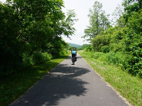
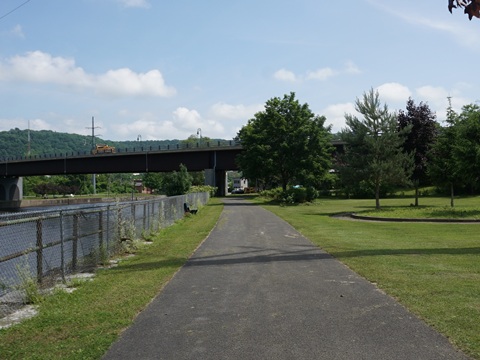
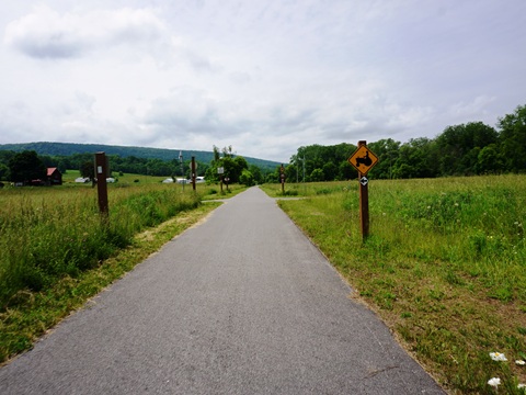
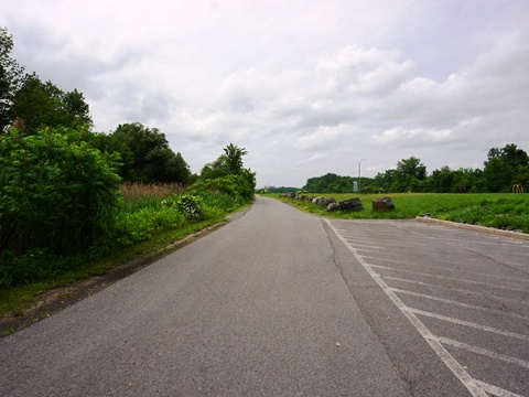
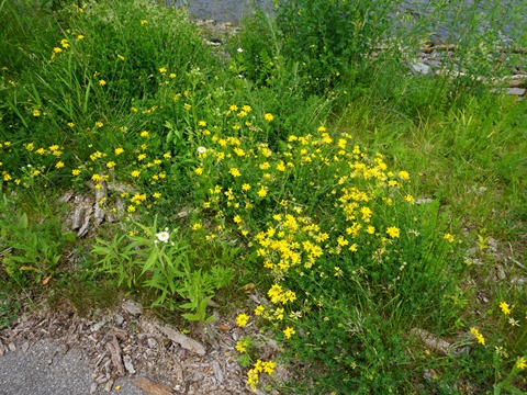
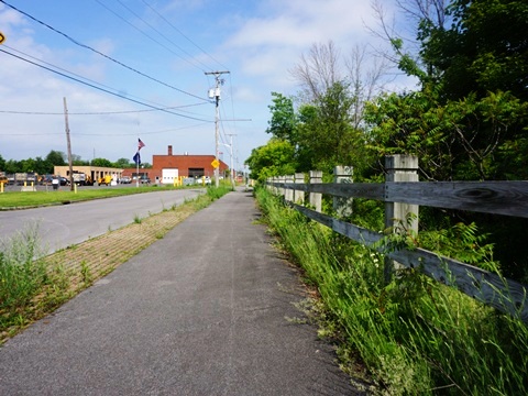
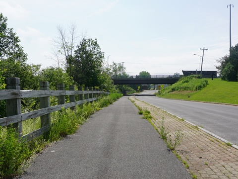
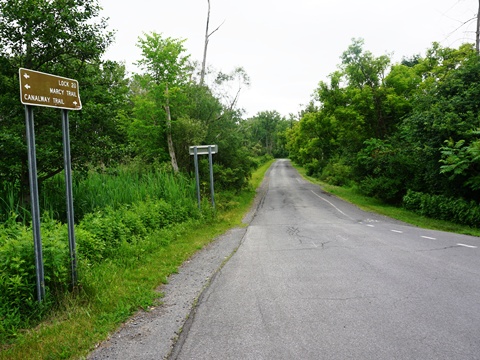
Trail at Little Falls
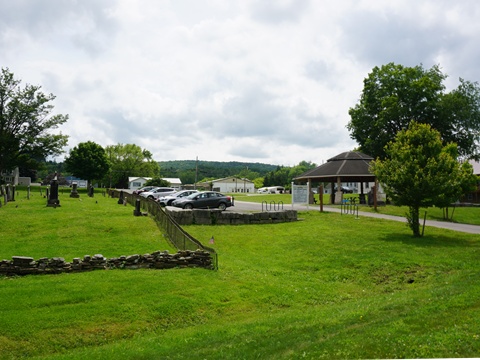
Little Falls is a picturesque small city with amenities for visitors including restaurants, shops, and accommodations. Originally settled in 1723, the city was chartered in 1895. The Little Falls Historic District and several other local sites are listed on the National Register of Historic Places.
** A Suggested Ride** We enjoyed biking the Canalway Trail at Little Falls, covering a 7-mile segment. This was a mostly flat, easy ride with scenic views and interesting sites.
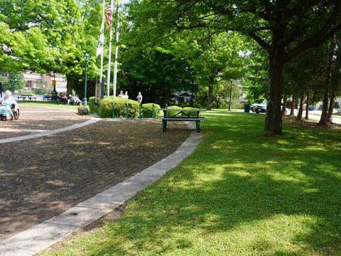
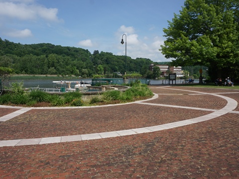
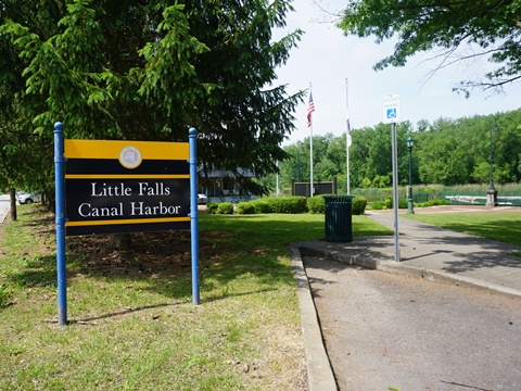
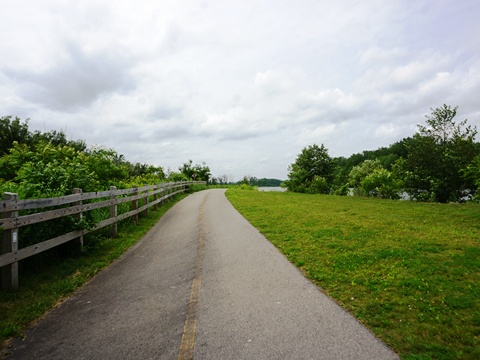
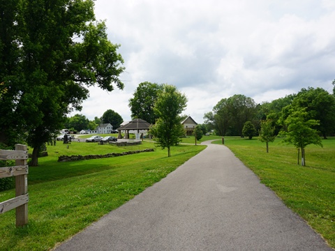
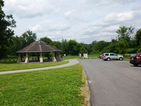
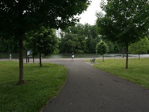
Rotary Park to Fincks Basin (2 miles)
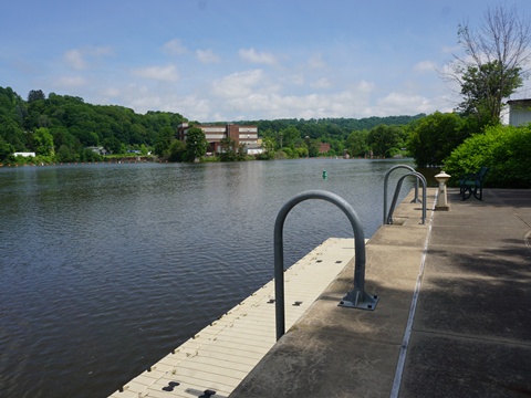
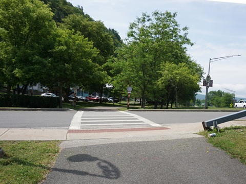
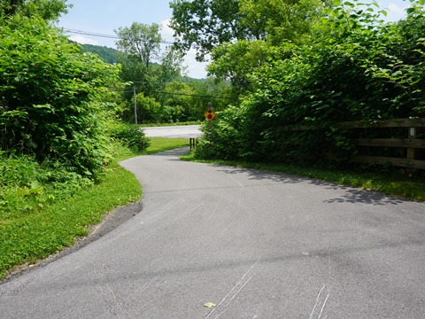
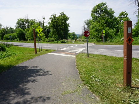
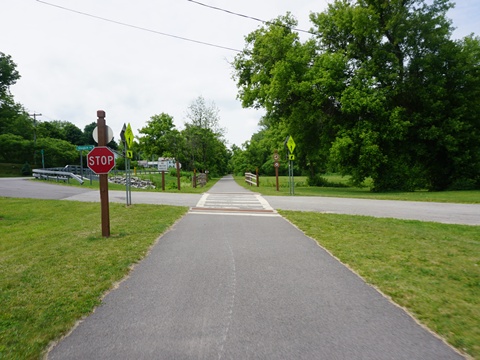
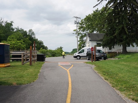
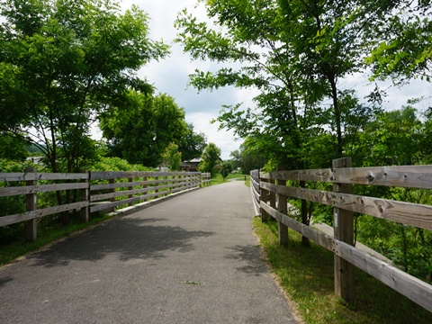
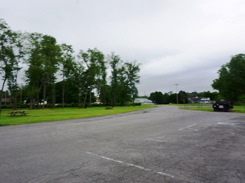
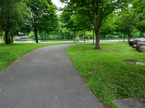
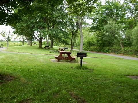
- Starting from Rotary Park at Canal Harbor (parking, picnic, benches, marina with restrooms and showers available to bikers). We first rode along Southern Ave. east to the connector to the Erie Canalway Trail, passing through adjacent Columbus Park (playground, picnic, walking paths) to W. Caster Street where it meets the trail. The route eastbound then follows some city streets before entering woodlands along the canal.
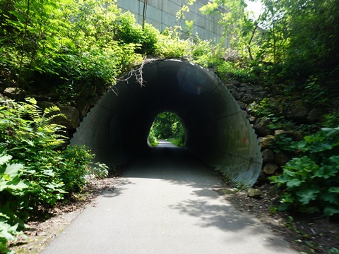
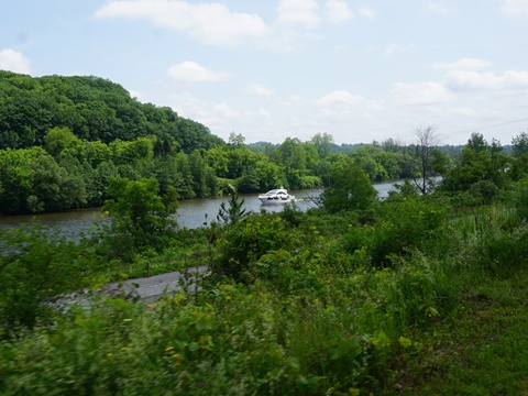
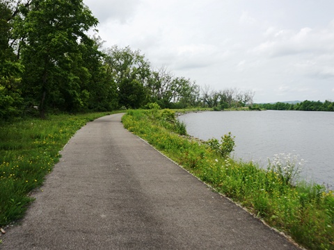
- The trail passes through rocky gorge, then past Lock 17 with scenic Mohawk River views. Access to Lock 17 (the largest in NY State) was blocked due to construction when we visited.
- We turned back at Finck's Basin where the trail descends to riverside along SR 169.
Rotary Park to Lock 18 (3 miles)
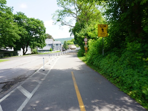
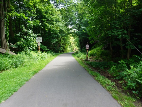
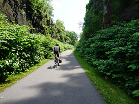
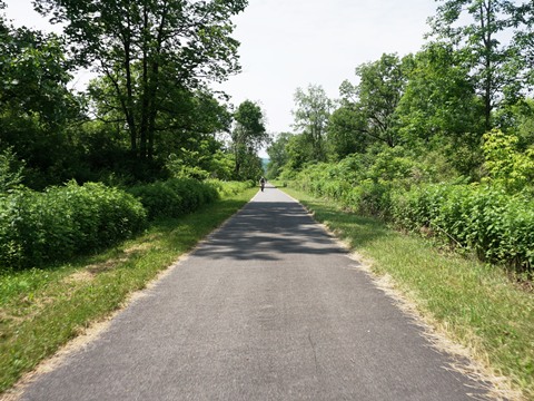
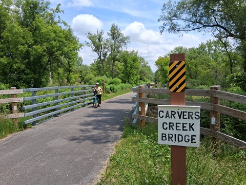
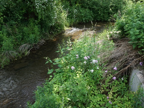
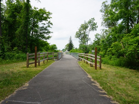
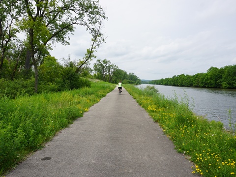
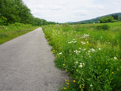
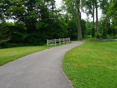
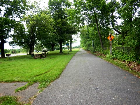
- Returning to W. Caster St., continue straight on the Canalway Trail westbound. It runs through town between Flint Ave. and SR 167, then breaks away from the roads after crossing SR 167 (1.25 mile). It then continues along the canal toward Lock 18. This is a scenic segment including woodlands and open agricultural areas, and crossing Carvers Creek. There are a few quiet road crossings along the way.
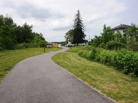
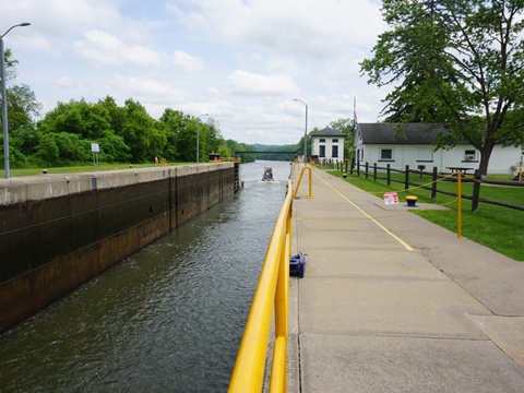
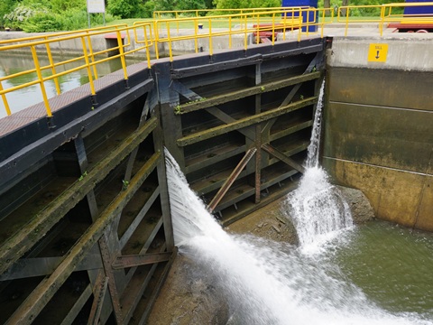
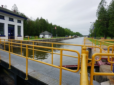
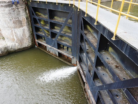
- At Lock 18 are parking and picnic tables in a scenic setting. This is a working lock, with a drop of 20 feet; watching its operation is interesting. On site are the Lockkeepers House (now a museum) and the Powerhouse with original equipment. Lock 18 is listed on the National Register of Historic Places.
Rotary Park to Lock 18 (3 miles)
Lock 18 to Fort Herkimer (2 miles)
- Past Lock 18, the trail runs close to the canal with scenic views, and past agricultural areas.
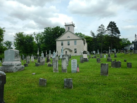
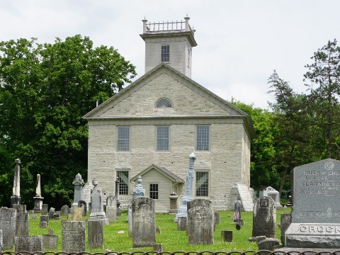
- Fort Herkimer at German Flatts was a colonial-era fort with roles in the French and Indian War and the Revolutionary War. Fort Herkimer Church, dating from 1753, is the only remaining structure. While the cemetery and grounds are open, visiting the interior is by appointment or for special events. It's listed on the National Register of Historic Places.
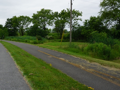
We have not yet visited between Fort Herkimer and Utica. The trail runs on various paved and unpaved sections, with areas on-road and some closer to I-90.
Utica to Rome (mile 112-130)
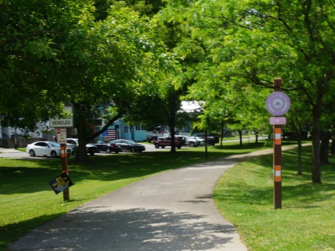
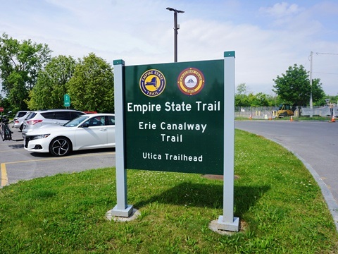
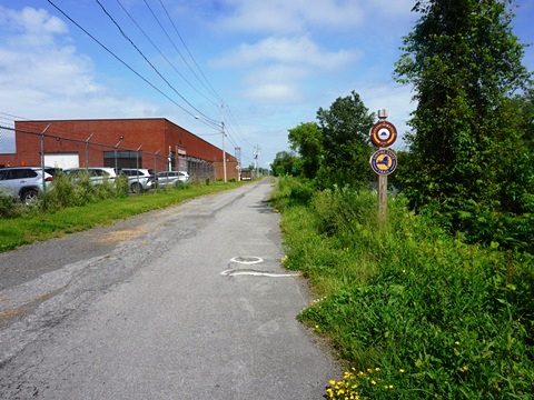
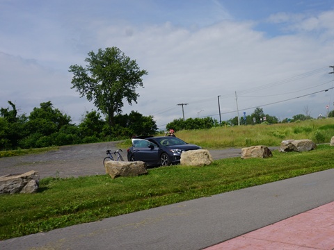
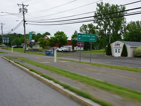
Utica Trailhead (mile 112)
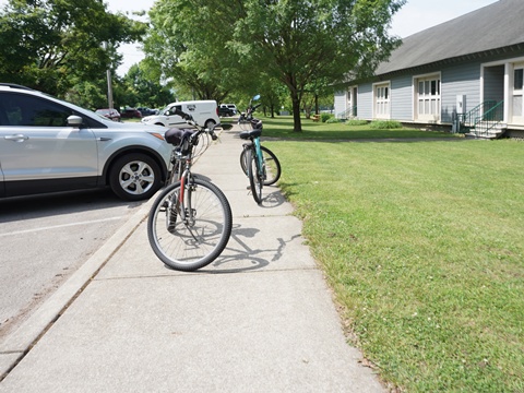
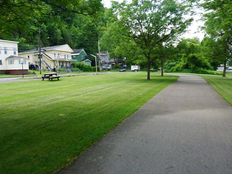
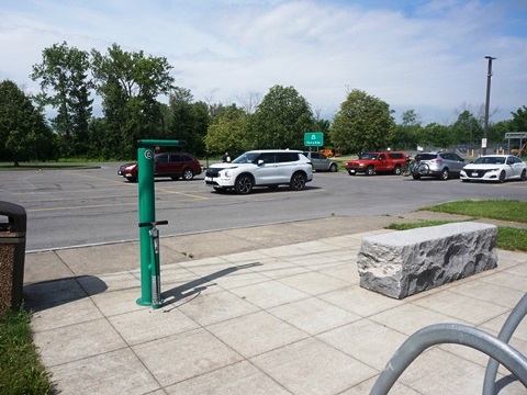
The Utica Trailhead consists of two areas on either side of N. Genesee St. with ample parking and a fix-it station. The trail here is paved, running alongside the canal. We stopped at the west parking area.
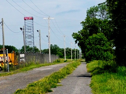
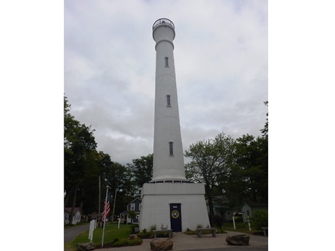
- Going west, the trail runs alongside the canal past a transportation maintenance facility, and passes the Utica Tower, a local landmark.
- Going east, the trail runs under Genesee St. to another parking area. A restaurant is adjacent.
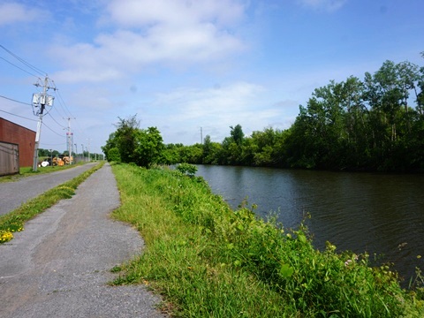
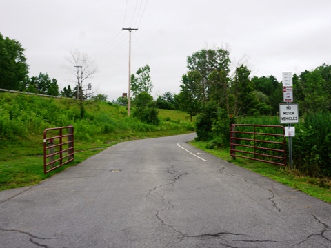
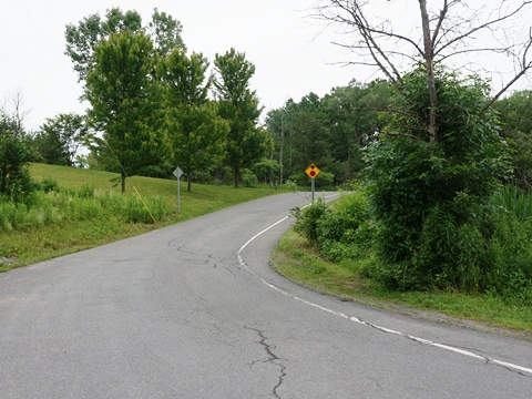
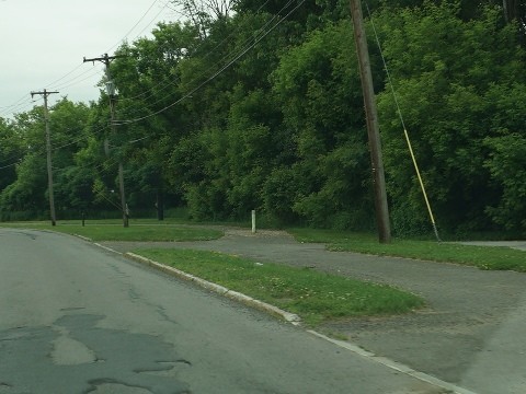
Past Utica, the Canalway Trail becomes mostly unpaved with some paved and on-road sections. Traveling by car, we visited several interesting historical sites, while viewing sections of trail along the way.
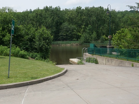
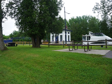
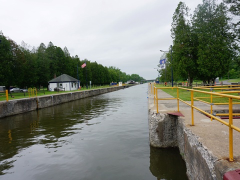
Lock 20 at Marcy NY
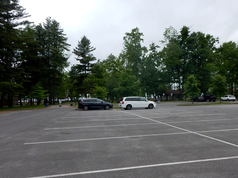
Lock 20 Canal Park is located across the canal from the Canalway Trail. This is a pleasant stop with parking, walking trails, pavilion, picnic tables, restrooms, camping, viewing platform. Watching the lock in operation was interesting, especially when a kayak went through!
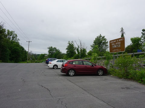
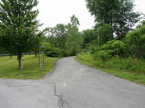
From the trail, the park can be accessed from the Canalway and Marcy Trail Access off SR 291 at the canal in Marcy. A connector runs over the canal, then alongside River Road to the park, about 1/2 mile.
Kayaking through Lock 20 (30 sec. video)
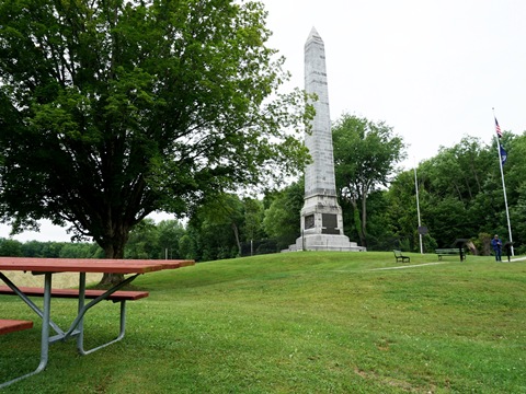
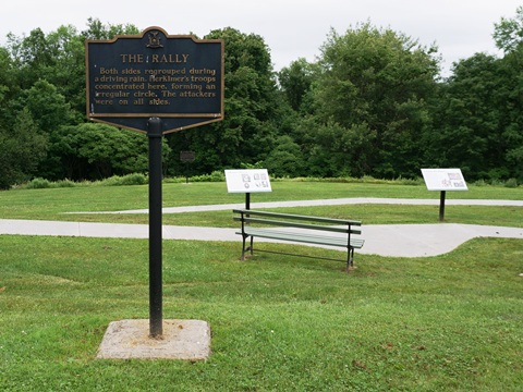
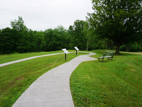
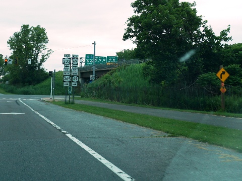
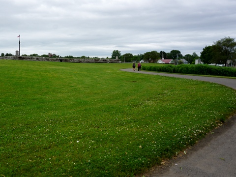
Oriskany Battlefield State Historic Site
From the Canalway Trail at Oriskany Rd. (mile 118), it's about 1 mile along SR 69 to Oriskany Battlefield State Historic Site. Oriskany is site of an important Revolutionary War battle (August 6, 1777). The site includes a memorial monument (erected in 1883), Visitor Center, interpretative signs, parking, restrooms, picnic tables, benches, walking paths. It's a State Historic Site, a National Historic Landmark, and was added to the National Register of Historic Places.
Rome to Syracuse (mile 130-172)
Rome, NY
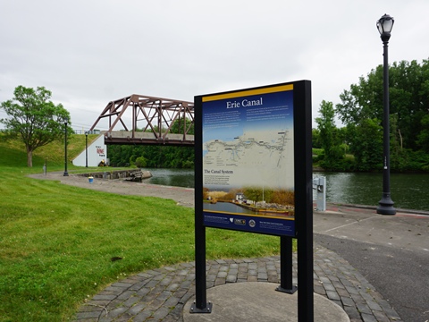
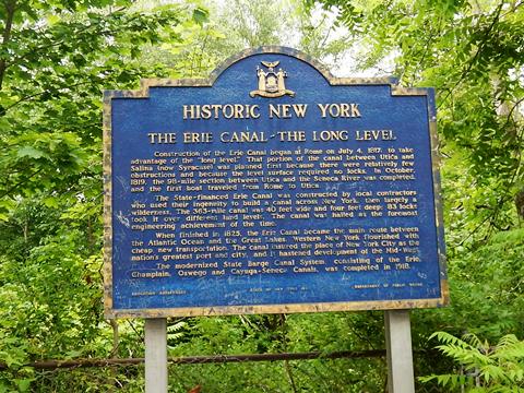
Rome has a long history with significant roles in the French and Indian War and Revolutionary War. Construction of the Erie Canal started in Rome.
- The section of the trail in Rome runs along the Erie Canal with a mix of paved and stonedust surfaces.
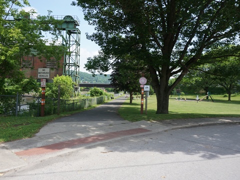
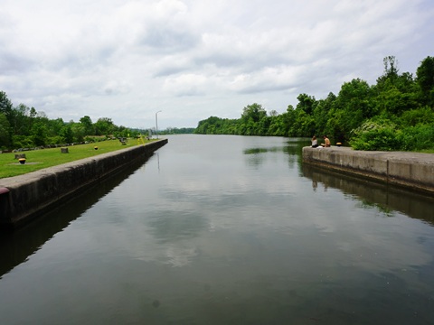
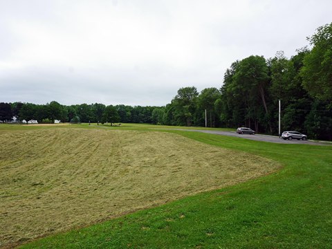
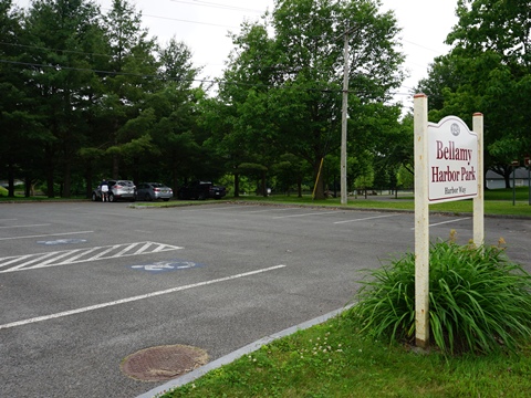
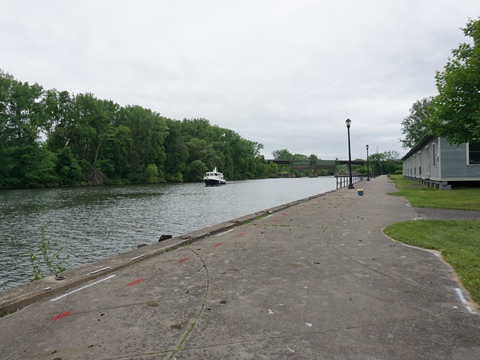
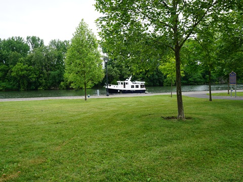
We visited the trailhead connected directly to the Canalway Trail at Bellamy Harbor Park. This is located where the Mohawk River and the Erie Canal meet, with scenic views, near where the Erie Canal was first dug. The park has parking, restrooms, picnic tables, historic markers, kayak/boat launch.
- The park also serves as the southern trailhead for the Mohawk River Trail which runs about 4 miles through Rome, passing and providing a biking route to Fort Stanwix.
Bellamy Harbor Park (mile 130)
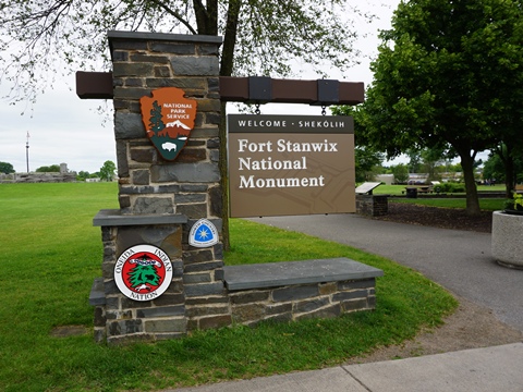
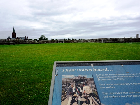
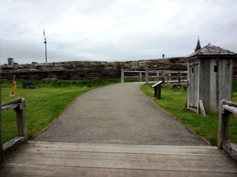
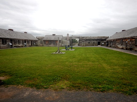
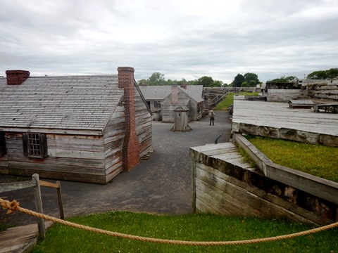
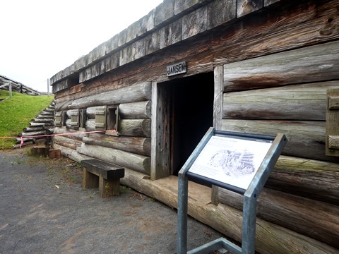
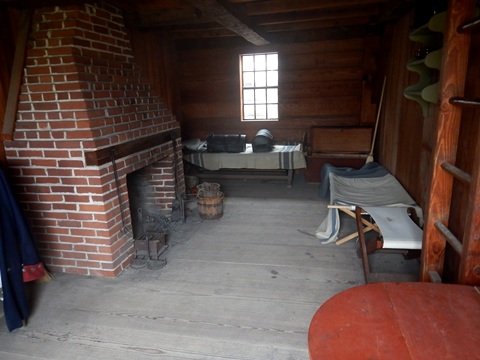
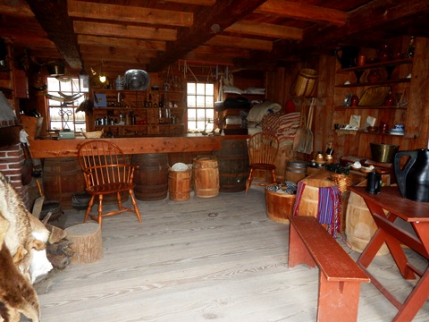
Fort Stanwix National Monument
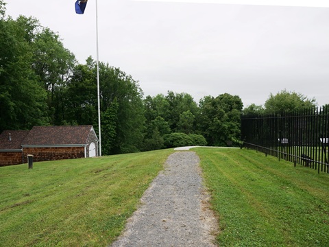
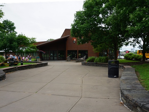
Fort Stanwix National Monument is located directly off the trail in Rome at 100 N. James St., about a mile from Bellamy Harbor Park via the Mohawk River Trail connector. The fort is a reproduction, built on the foundations of the original built in 1758 during the French and Indian War. It also played an important role in the Revolutionary War. Visiting was very interesting, a "living museum" that aims to give a realistic view of life at the fort.
- A Visitor Center is located at the entrance, with restrooms, exhibits and information, and bookstore, and bike fix-it station.
- A path winds through the park to the fort. Bikes are allowed on the trail but not past the fort bridge.
Rome to Syracuse (mile 130-170)
Continuing west past Rome, the trail is mostly stonedust with some paved sections. Traveling by car, we stopped at a few locations along the way, viewing trail segments and exploring area history.
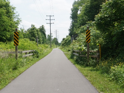
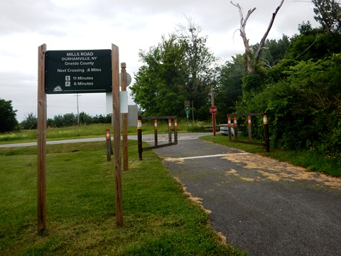
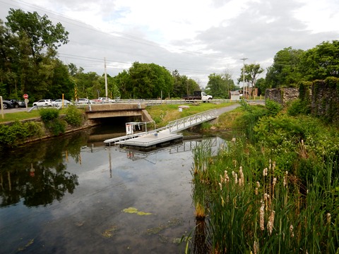
Rest Area - Durhamville (mile 145)
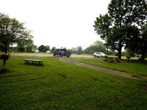
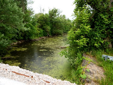
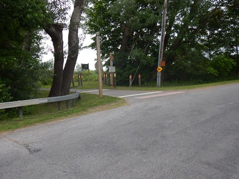
A rest area along SR 46 near the SR 31 crossing in Durhamville has parking, picnic tables and grills. The trail approaching and passing the rest area is paved. Continuing from here, turn onto Mills Rd. and cross the bridge over the canal, then turn back onto the trail, where it becomes stonedust.
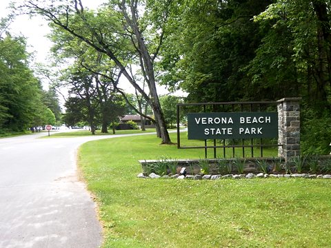
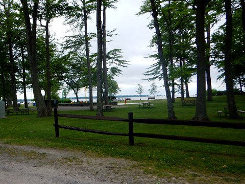
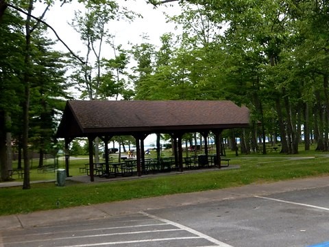
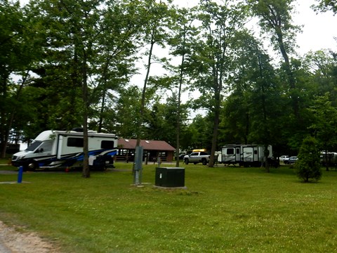
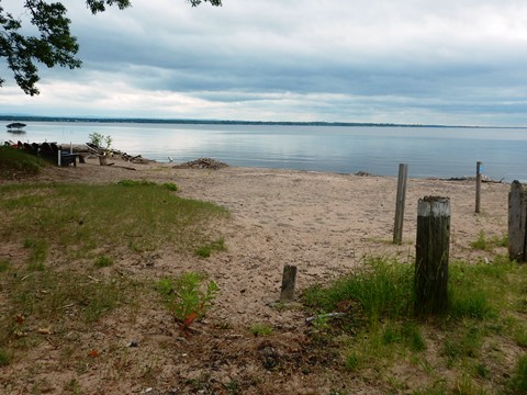
Verona Beach Park
From the rest area, Verona Beach State Park
is about 3 miles along local roads. Along Lake Oneida,
the pleasant park has parking, restrooms, camping, restaurant/concession,
playground, beach, splash pad, and nature/equestrian/mountain-biking trails.
More about
Verona Beach State Park 
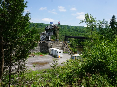
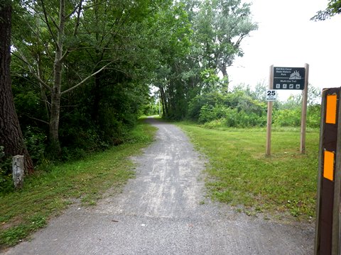
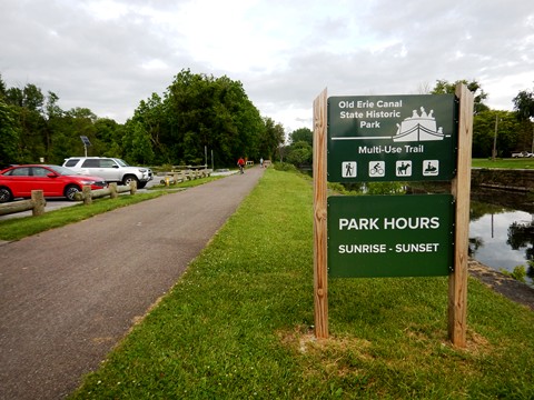
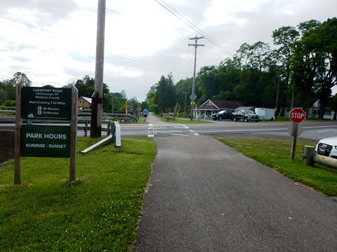
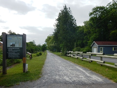
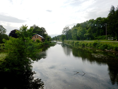
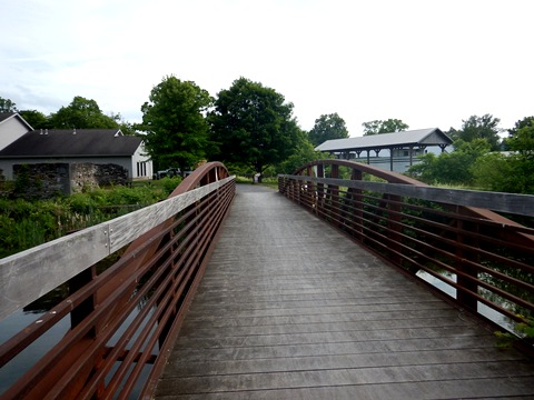
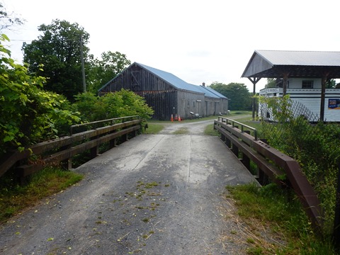
Old Erie Canal State Historic Park at Chittenango (mile 160)
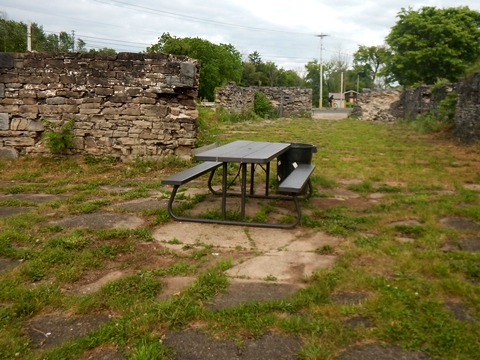
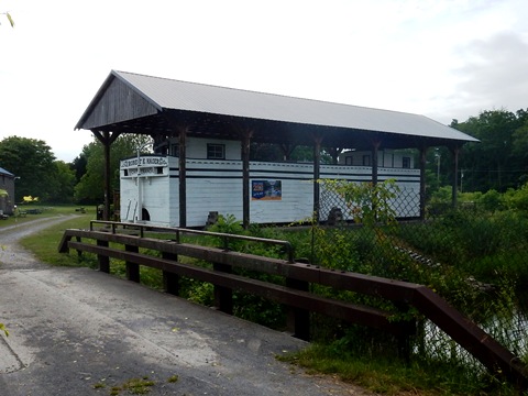
The Chittenango Landing Dry Dock Complex (1856-1917) provided dry dock where canal boats on the old Erie Canal were built and repaired. Abandoned when the canal was displaced by the new barge canal, restoration began with excavation of the original dry docks in the 1980's. Other buildings were restored, one housing the Chittenango Landing Canal Boat Museum. The site is listed on the National Register of Historic Places.
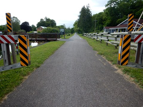
The Canalway Trail follows the towpath of the original 19th century canal, called Old Erie Canal State Historic Park. Trailhead parking is at Lakeport Rd., near the Chittenango Landing Canal Boat Museum. Approaching from the east the trail is paved, then becomes stonedust heading west.
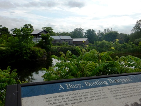
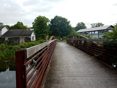
A pedestrian bridge crosses the canal to the Museum complex, featuring the restored 3-bay dry dock, excavated canal boat remains, and various historical artifacts related to the canal. Included are a reconstructed canal-side store, walk-on canal boat exhibit, sawmill, blacksmith, and woodworking shops, mule stable and visitor education center.
Restaurants and other amenities are available in the nearby historic Village Center. Here too is the All Things Oz Museum - Chittenango is the hometown of L. Frank Baum, author of the Wizard of Oz. The museum features a collection of original costumes and props from OZ productions, plus collectibles and Baum family heirlooms. The village holds an annual festival called Oz-Stravaganza! honoring Baum's life and literary works.
This ends our exploration to date of the Erie Canalway Trail and nearby places of interest in the East-Central Section.
CONTINUE TO THE WEST-CENTRAL SECTION, SYRACUSE TO ROCHESTER
RETURN TO ERIE CANALWAY TRAIL OVERVIEW

Copyright © BikeTripper.net. All Rights Reserved. Have Bikes - Will Travel