Bike Tripper
Have Bikes, Will Travel
Bike Trail Maps & Photos Galore
You are here > Home >
South Carolina >
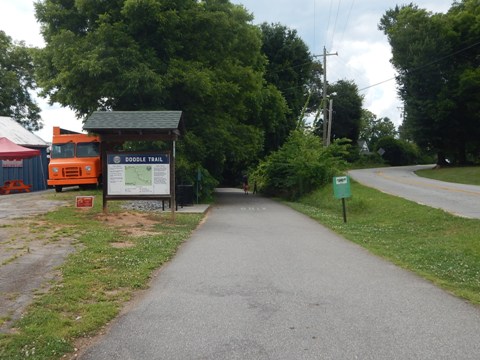
Doodle Trail
Reported: June 2024
Doodle Trail, South Carolina Bike Trail
Paved Rail-Trail... Easley to Pickens, 8.5 Miles
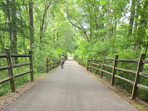
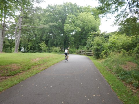
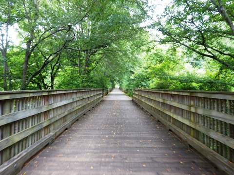
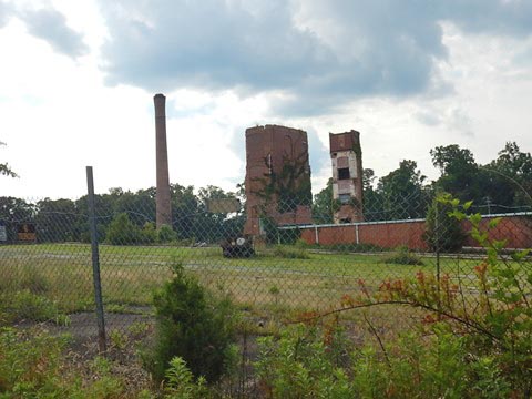
We discovered the Doodle Trail en route to the Blue Ridge Mountains. Located in the South Carolina foothills, the rail-trail runs 8.5-miles along an abandoned rail line between Easley and Pickens, SC. Popular with cyclists, runners, walkers, and rollerbladers, the route varies from roadside, to residential neighborhoods, to green rural areas. Abandoned decades ago, the remains of a couple of sturdy old industrial buildings are interesting. (Detailed map and photos below.)
Location: Pickens County, SC (See map)
Distance: 8.5 miles
Surface: Asphalt, 12 feet
Trailheads/Parking: Main St. Easley, Easley Doodle
Park, W. Arial St., Pickens Doodle Park
Nearby Places of Interest: Pickens County Museum of Art & History,
Table Rock State Park
Bike Shops/Rentals:
N/A, closest bike shops located
nearby in Greenville (see: Swamp
Rabbit Trail)
Page Summary:
- Biking the Doodle Trail
- Trailheads
- Easley Doodle Park
- Pickens Doodle Park - Easley Trailhead to Downtown Easley (1 mile)
- Downtown Connector Trail - Easley to Pickens (7.5 miles)
- Easley Trailhead to Rotary Park - 3 miles
- Rotary Park to Pickens Trailhead - 4.5 miles - Quick History
- More Information and Resources
Biking the Doodle Trail... Comments and Photos
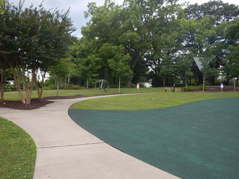
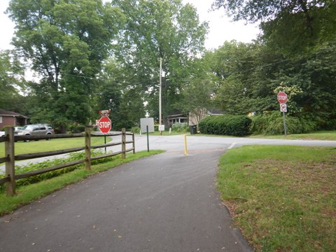
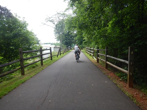
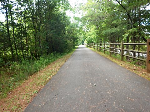
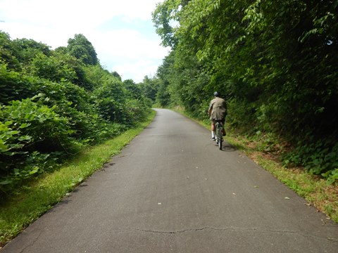
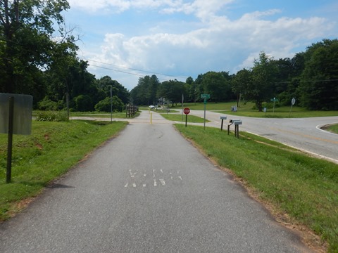
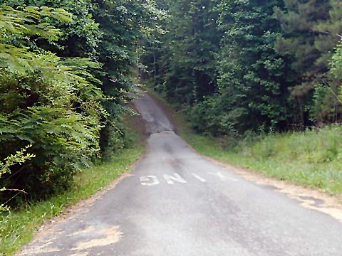
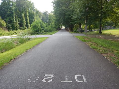
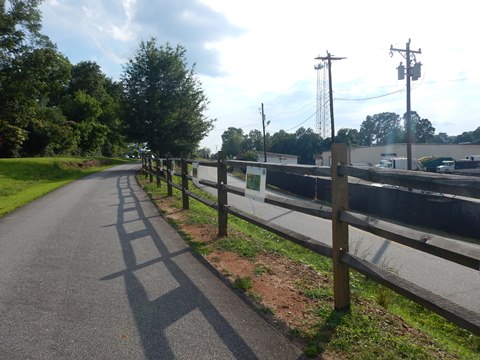
The trail is paved and easy to bike, although some may find the numerous gentile hills a little tiring as the ride progresses. Mileage is marked every tenth of a mile. There are numerous road crossings, well-marked with striping and stop signs - though most are lightly-used roads.
Starting from the Easley Trailhead, we first rode the downtown connector (1 mi.) to trail's end at Main St. in Easley. We then returned and biked from the Easley Trailhead to Rotary Park (3 mi.) and from there continued to trail's end at the Pickens Trailhead (4.5 mi.).
Trailheads
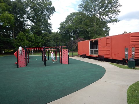
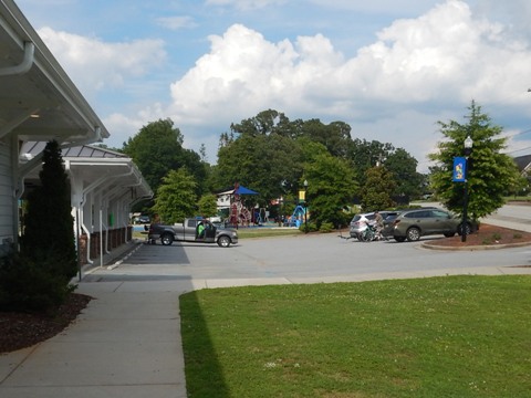
Easley Doodle Park
514 Fleetwood Dr., Easley
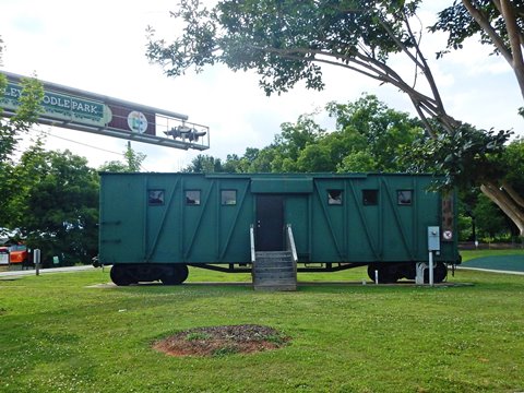
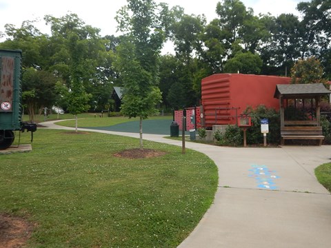
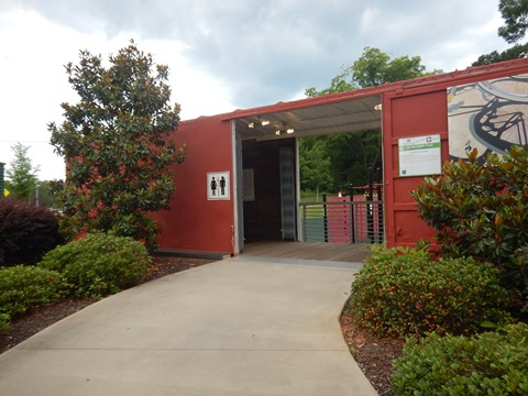
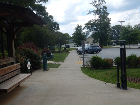
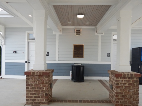
The Easley Trailhead is located at Easley Doodle Park which has parking, restrooms, fix-it station, picnic area, playground, fitness course, and two restored boxcars that ran on the old rail line (one serves as the restroom). One mile to downtown via a connector (more below).
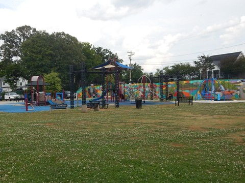
Pickens Doodle Park
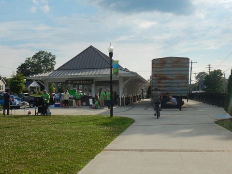
409 E. Cedar Rock St., Pickens
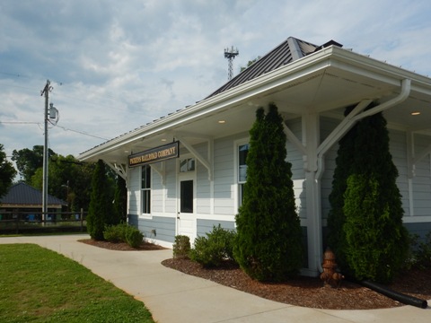
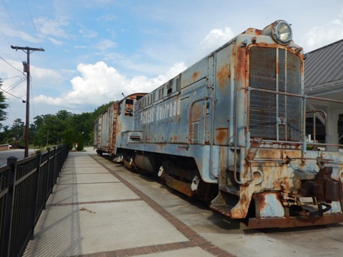
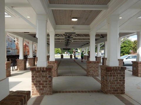
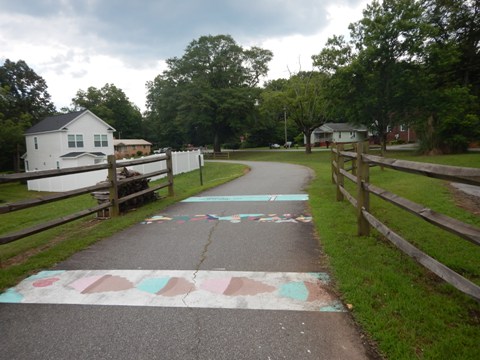
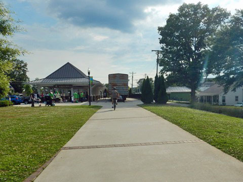
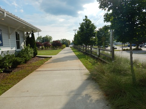
The Pickens Trailhead is located at Pickens Doodle Park with parking, restrooms, train-themed playground, colorful murals on the "Doodle Wall," and an original engine and boxcar. The railroad museum and pavilion were built as a replica of the old train depot. One block to downtown.
Doodle Trail - Connector to Downtown Easley (1 mile)
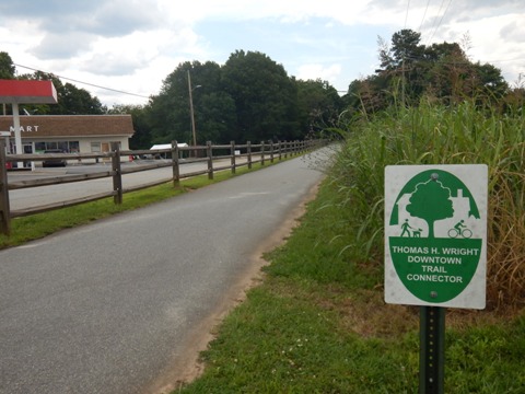
Easley Downtown Connector
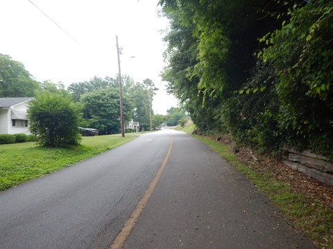
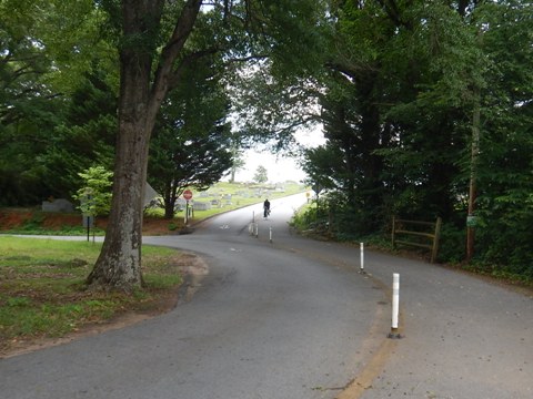
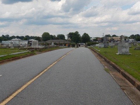
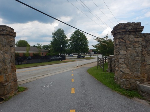
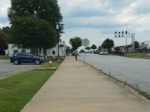
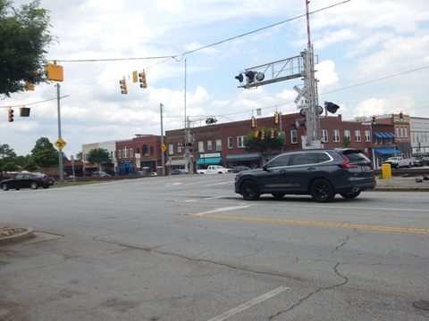
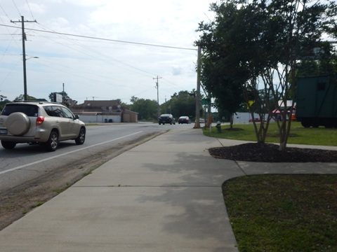
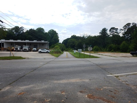
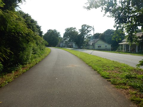
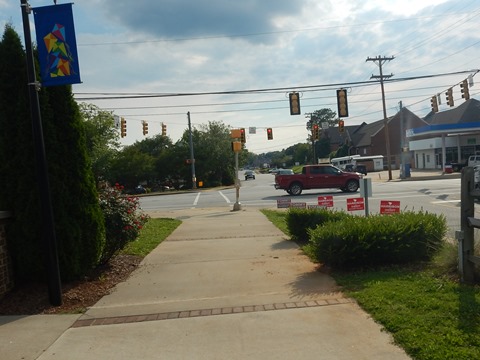
From Easley Doodle Park, cross Old Cedar Rd. to the trail and go to the left. Cross busy Fleetwood Dr. carefully, and link to the Thomas A. Wright Downtown Trail Connector. The trail runs along Wilbur St. through residential areas and the West View Cemetery (the drive through the cemetery is shared with vehicles). A few road crossings, but not busy - use normal caution. The trail enters downtown at 1st Street, parking is available along Main St. From here, ride the wide sidewalk to downtown. The train track bisects the downtown area, use one of the streets crossing the track for more shops and restaurants.
Easley Trailhead to Pickens Trailhead (7.5 miles)
Easley Trailhead to Rotary Park (3 miles)
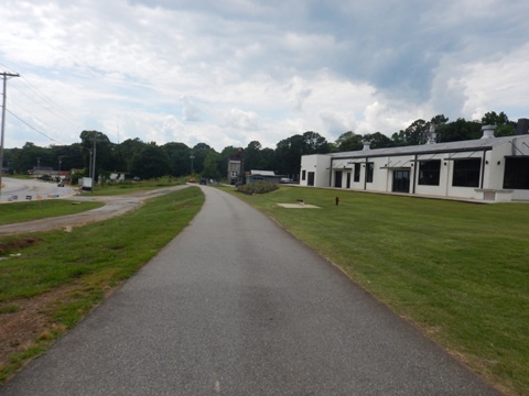
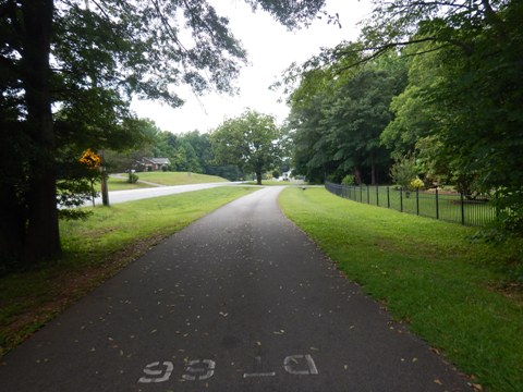
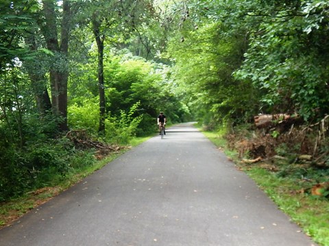
From the trailhead, cross Old Cedar Rd. and turn right onto the trail. In this section, the trail runs past some businesses closer to town, then off-road including scenic farmlands. When near the road, the trail is mostly well-buffered. Take normal care at the crossroads. A dirt parking lot is at Arial St. and Rice Road - a busier area with some businesses, be careful crossing. Continuing to Rotary Park the trail again becomes more tranquil with a nice shaded section approaching the park.
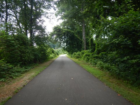
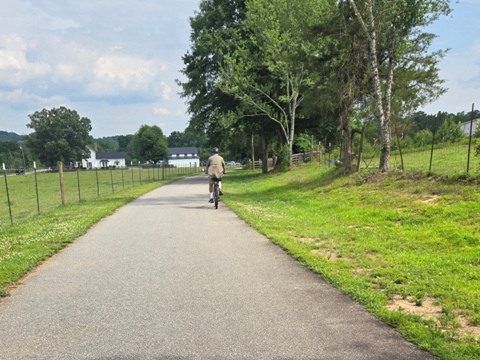
Rotary Park to Pickens Trailhead (4.5 miles)
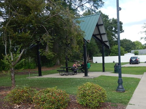
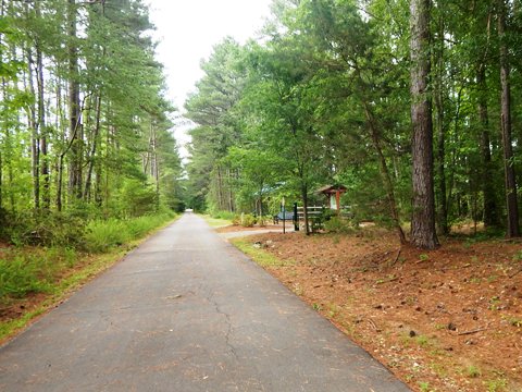
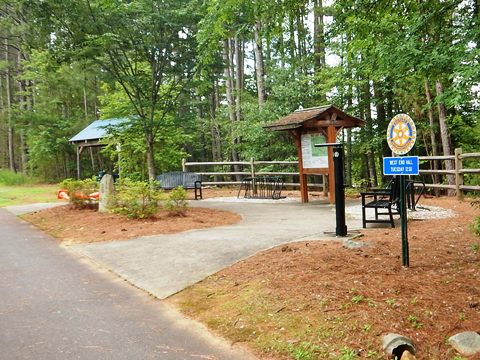
Rotary Park is a pleasant stop with benches, covered picnic tables, fix-it station, and information kiosk. (Note: not a parking option as Rotary Park is accessible via trail only.) From here the trail runs closer to Rice Road and residential areas, still buffered, with some road crossings. It passes through woodlands before re-emerging at Railroad St., but still separated from the road. The trail runs through Pickens Doodle Park, then ends at Hampton Ave. Past here is downtown with restaurants, shops, and the Pickens County Museum housed in the county's old jail building.
Quick History

The rail-trail is a joint venture between the cities of Easley and Pickens, creating recreational and economic opportunities, while preserving the memory of the historic Pickens Railroad (actual name). The railroad served the area for 115 years (1898-2013) carrying various goods between the two towns. There was no turn-around at the end of the rail-line, so the train returned running backwards (like a doodle bug), gaining the nickname the "Pickens Doodle," or simply "the Doodle."
More Information and Resources
More Biking:
Swamp Rabbit Trail
(Greenville to Travelers Rest, SC)
Bike-South Carolina
- More information about biking in South Carolina
Related Resources:
City of Easley - Doodle Trail 
City of Pickens - Doodle Trail

Copyright © BikeTripper.net. All Rights Reserved. Have Bikes - Will Travel