Bike Tripper
Have Bikes, Will Travel
Bike Trail Maps & Photos Galore
You are here > Home >
South Carolina >
Swamp Rabbit Trail
Reported: June 2024
Swamp Rabbit Trail, Greenville SC Bike Trail...
28 Miles of Multi-use Trail... Find the Best Sections to Ride
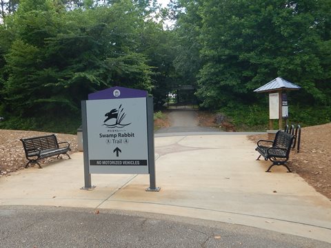
Officially, the "Prisma Health Swamp Rabbit Trail" is a 28-mile (and growing) multi-use greenway running between the cities of Greenville and Travelers Rest, SC. The trail, mostly following the Reedy River on an old Carolina, Knoxville and Western Railway corridor, gets its name from the rail-line - its nicknamed derived from the bumpy ride through the wetlands and swamp rabbits of the area. Popular for biking, walking, jogging and rollerblading, it connects schools, parks, and businesses, and includes both urban and rural areas. The trail is a network consisting of three lines (Green, Blue and Orange), with other rail spurs and nature trails leading off these main lines. Ongoing projects will extend trails and connect new sections. (Detailed map and photos below.)
Location: Greenville County, SC (See map)
Distance: 28 miles total in 3 segments, future
extensions planned
Surface: Asphalt, boardwalk
Trailheads/Parking: Cleveland Park, Unity Park,
Furman University, Travelers Rest, Conestree Nature Preserve, street
and public parking, and more (see map)
Nearby Places of Interest: Greenville Zoo, Furman University,
Table Rock State Park
Bike Shops/Rentals:
Sunrift Adventures  (Travelers Rest; rentals, sales)
FreeHub Bicycles
(Greenville and
Travelers Rest; rentals, sales, service)
Reedy Rides
(Greenville; rentals, tours, service)
Greenville
Bike & Tri
(Greenville; rentals, sales, service)
Trek Bike Store
(Greenville; rentals, sales, service)
Pedego Greenville
(Greenville; e-bike rentals, sales, service)
Page Summary:
- Biking the Swamp Rabbit Trail
- Trail in Greenville - 3 mile section
- Cleveland Park to Falls Park
-- Cleveland Park
-- Falls Park
- Falls Park to Unity Park
-- Trail at Unity Park (loop) - Trail at Travelers Rest - 6 miles
- Furman University to Trailblazer Park
- Furman University Lake Trail
- Trailblazer Park to Gateway Park
- Gateway Park to Trail End - More Information and Resources
Biking Swamp Rabbit Trail... Comments and Photos
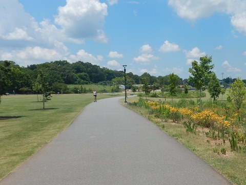
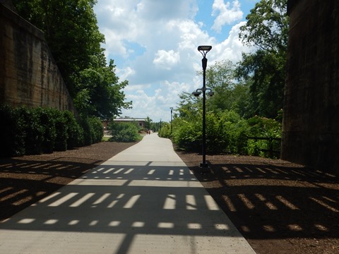
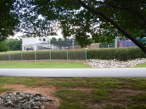
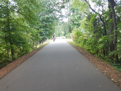
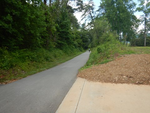
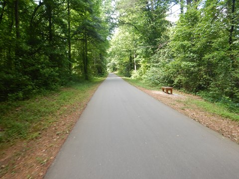
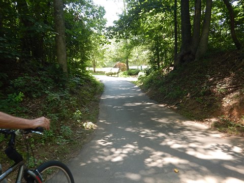
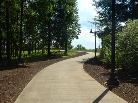
Greenville County is doing a great job developing the Swamp Rabbit Trail network, and in turn the trail is providing recreational and economic benefits to its communities. Wide and well-maintained, the trail is mostly flat and easy to ride with a few mild grades. Well marked with directional and informational signage, there are half-mile markers and 911 emergency stencils each 1/10 mile. Benches and gazebos are provided along the way, and there are trailside restaurants in both Greenville and Travelers Rest providing refreshments and facilities. Although there are a number of road crossings, the underpasses at busier crossings are a bonus.
- The Green Line at 17 miles is the longest continuous segment of the trail, running from Greenville to Travelers Rest.
- The Blue Line connects to the Green Line at Cleveland Park and extends 2.5 miles. Another, disconnected section runs about 4 miles to the Conestree Nature Preserve.
- The 1 mile Orange Line connects to the Green Line at about 4 miles from Cleveland Park, linking to Hampton Station (restaurants, shops).
We visited two sections of the Green Trail, each with different characteristics but both enjoyable: (1) in Greenville, from Cleveland Park to Unity Park (3 miles), and (2) in Travelers Rest, from Furman University to trail end at Travelers Rest (6 miles). There's a lot more to see and bike - as the network grows with future extensions, worth a future visit.
Trail in Greenville - 3 mile section
The Green Line from Cleveland Park to Unity Park is a short but scenic section, packed with things to do and see, including:
- Cleveland Park
- Cancer Survivors Park
- Falls Park on the Reedy
- Riverplace at Downtown Greenville
- Linky Stone Park: The Children's Garden
- Unity Park
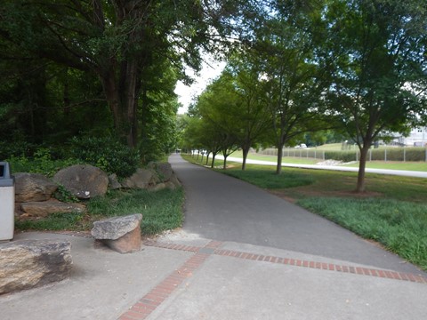
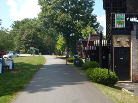
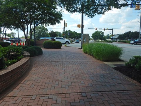
Cleveland Park to Falls Park - 1.5 miles
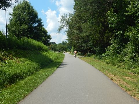
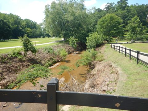
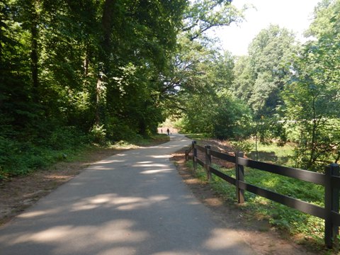
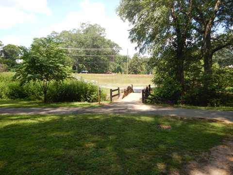
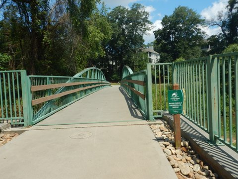
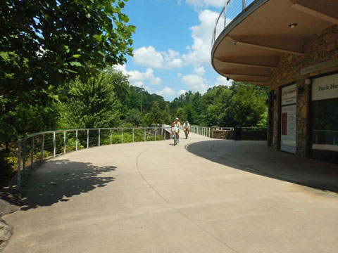
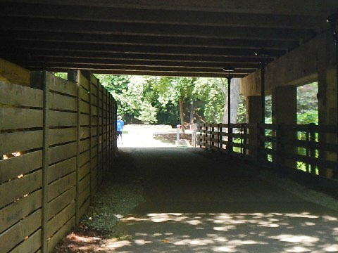
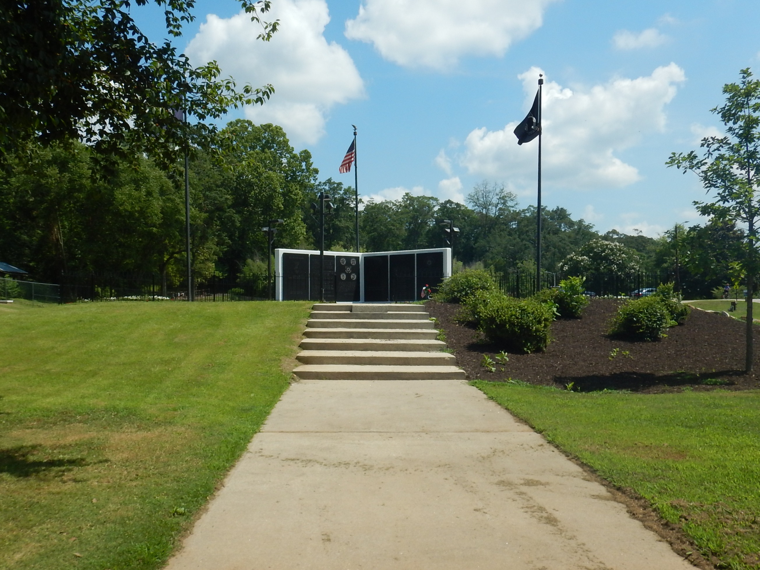
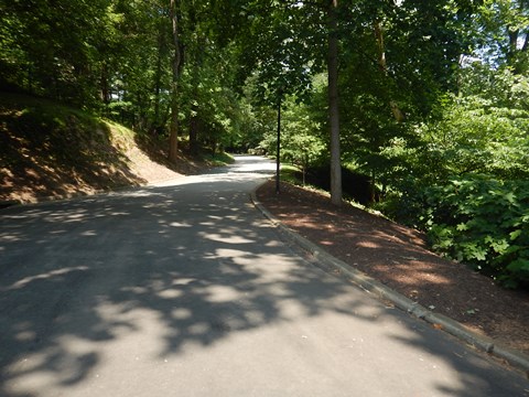
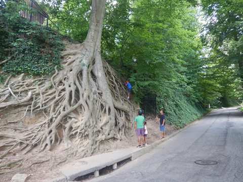
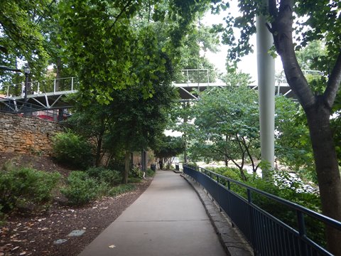
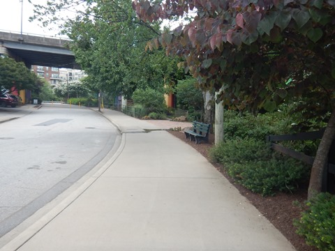
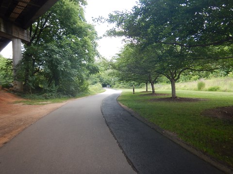
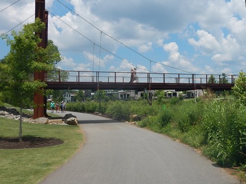
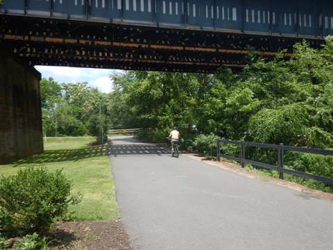
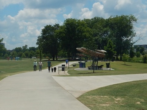
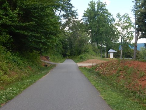
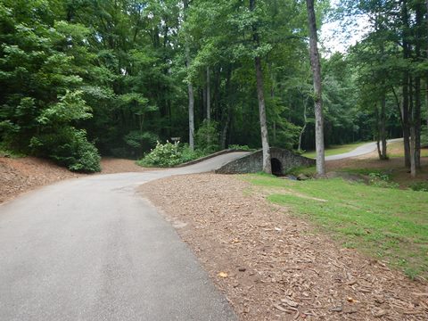
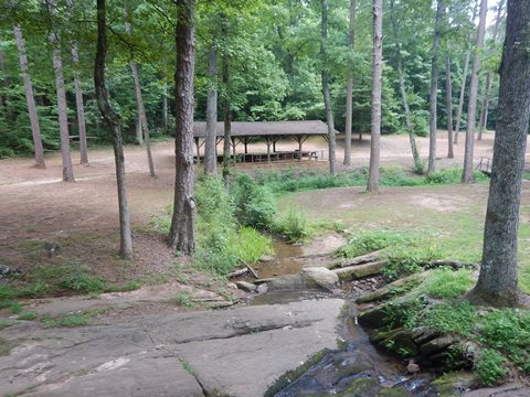
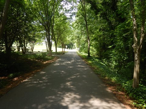
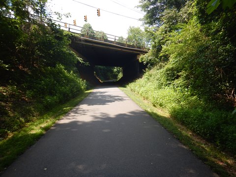
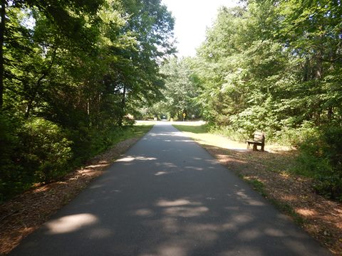
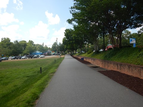
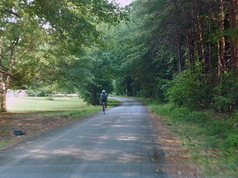
- At Cleveland Park, the trail runs along Richland Creek to where it flows into the Reedy River near the Vietnam Veterans Memorial. (The Blue Trail also starts here, following the river toward the Conestree Nature Preserve section.) We continued on the Green Line along the river toward Falls Park. This section is very scenic and wooded, then past the McDaniel Ave. underpass it crosses the river on the Major Randolph Anderson Memorial Bridge and nearby residences become visible.
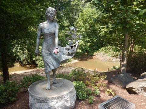
- After crossing under Cleveland St., the trail passes through Cancer Survivors Park with walking paths, gardens, pavilion, and sculptures. Continuing along the river and through the Church St. underpass, the trail then enters Falls Park on the Reedy.
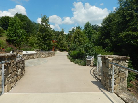
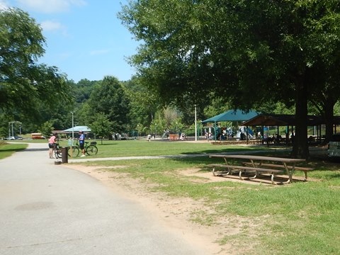
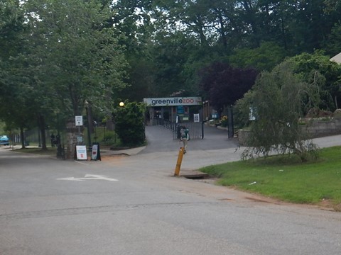
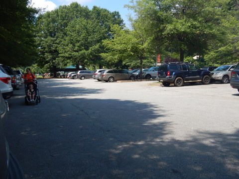
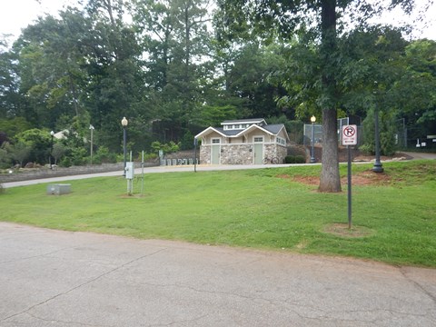
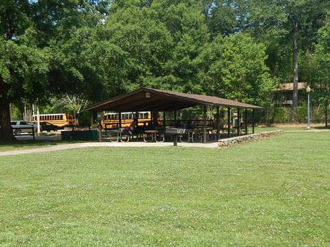
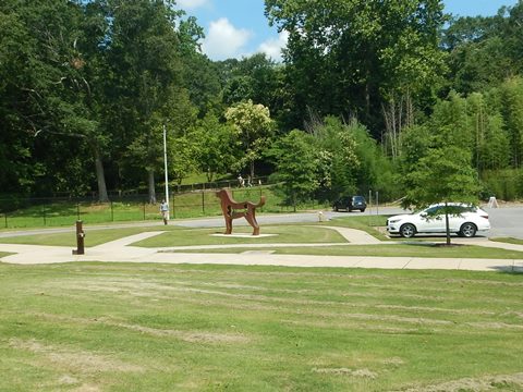
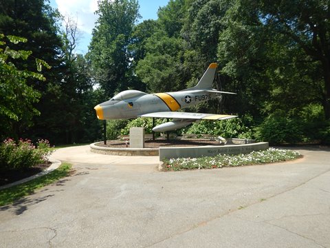
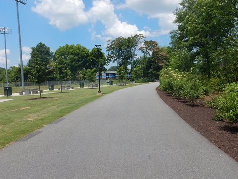
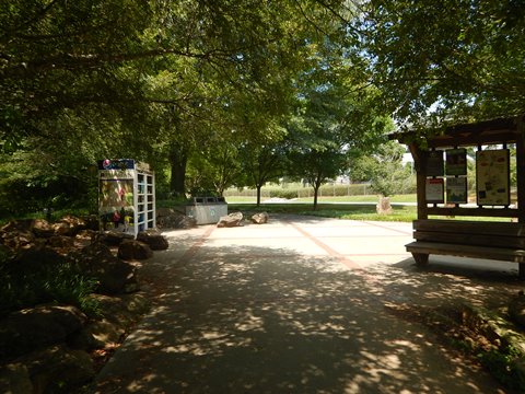
Cleveland Park
Cleveland Park is Greenville's "City Park" covering 122 acres
along Richland Creek and the Reedy River. Also home to the
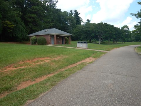
Greenville Zoo, the park has parking, restrooms,
8 picnic shelters, 4 playgrounds, sport facilities, dog park,
nature trails, fitness trail, the Rock Quarry Garden
and Vietnam Veterans Memorial. The newest section
of trail runs 4 miles from Cleveland Park to Verdae Blvd., but we only
viewed a short portion of this extension.
More information
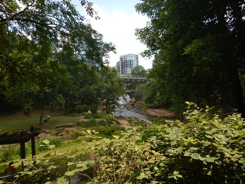
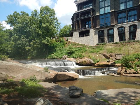
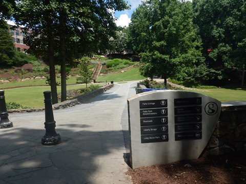
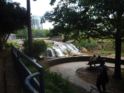
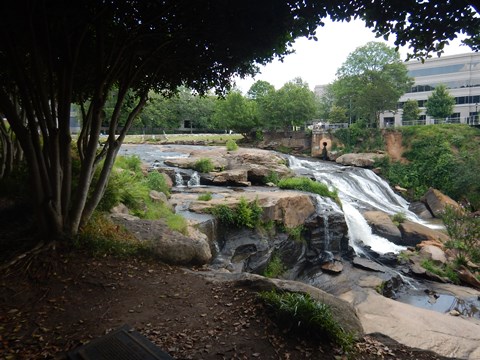
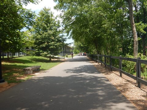
Falls Park on the Reedy
Falls Park is called the Jewel of Downtown Greenville for good
reason, and the trail is a great way to experience it. Features
include the 345-foot Liberty Bridge and
Reedy River Falls, gardens, walking paths with views of the
falls (we explored some of these along the way), picnicking, public
art, nearby restaurants, and the Grand Bohemian Lodge. It also
passes the downtown campus of Furman University. No dedicated
parking, use nearby street parking, lots and garages (fees may
apply).
More information
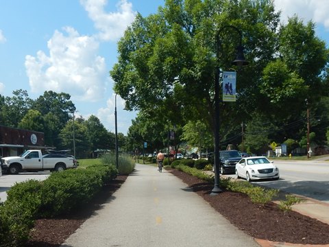
Falls Park to Unity Park - 1.25 miles
From Falls Park to Unity Park
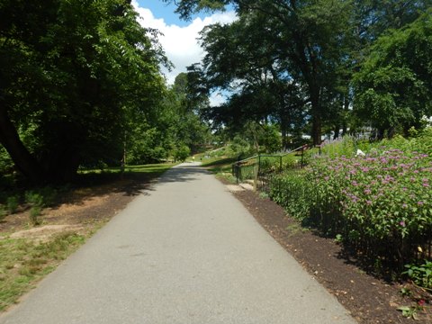
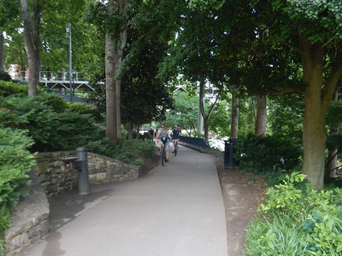
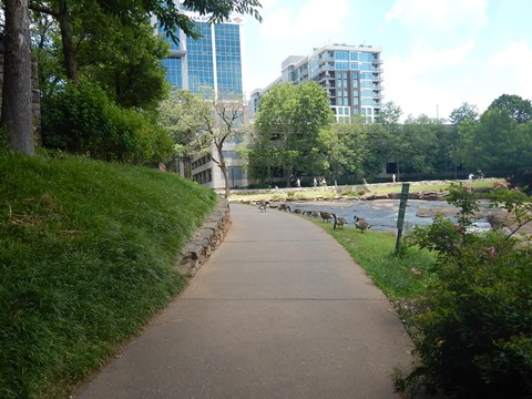
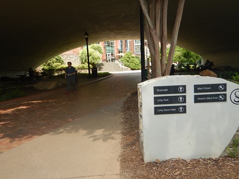
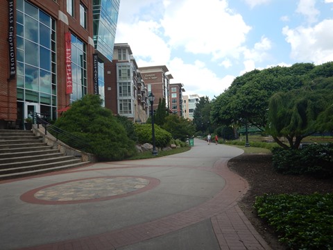
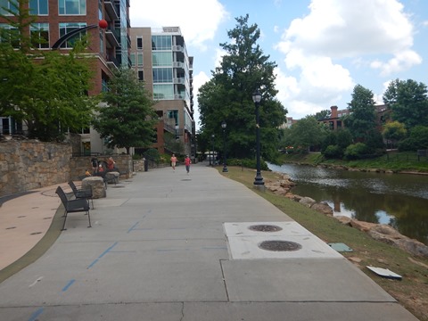
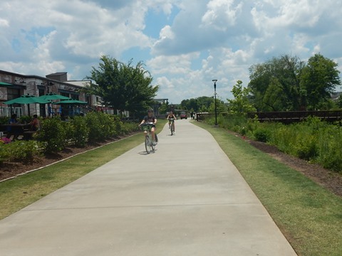
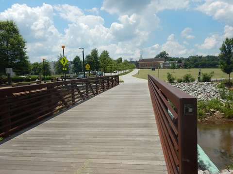
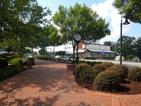
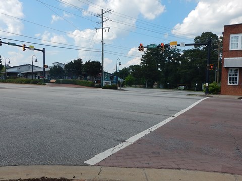
- Past Falls Park and under Main St., the trail runs about 2/10 mile as the River Walk at the Riverplace neighborhood. Located at the southern end of the central business district, this is a mixed-use development with restaurants, retail, condominiums, office space, and hotels.
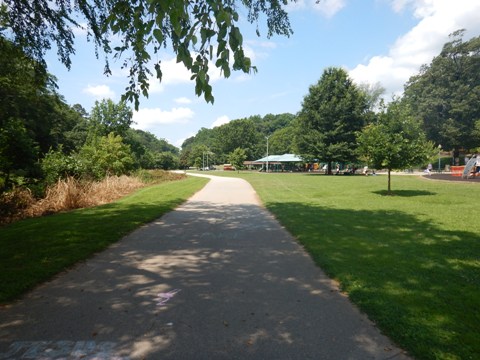
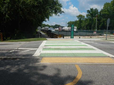
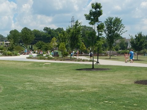
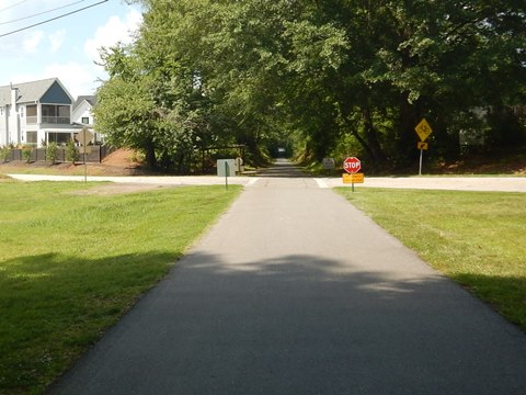
- After passing under River St. the trail then runs roadside along River View Drive past Linky Stone Park: The Children's Garden (1.7 acre interactive learning garden) to Academy St. Here, it runs under the road for a block with picnic tables, past a public parking lot. At S. Hudson St. there's more parking, and after crossing the road the trail enters 60-acre Unity Park.
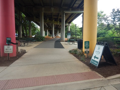
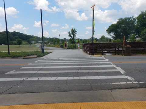
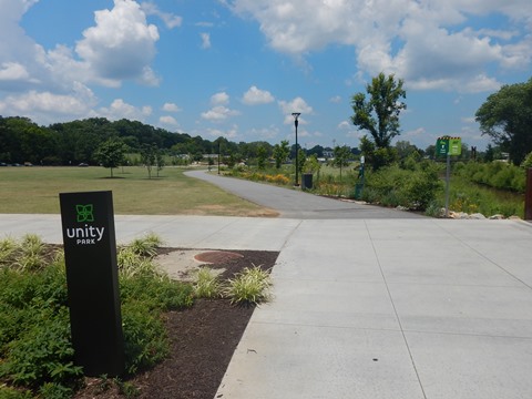
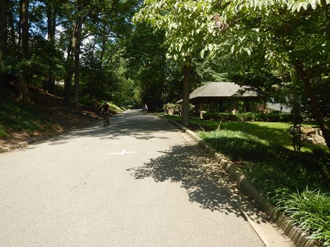
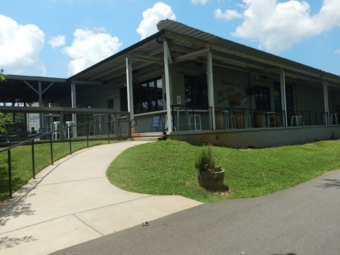
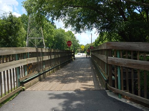
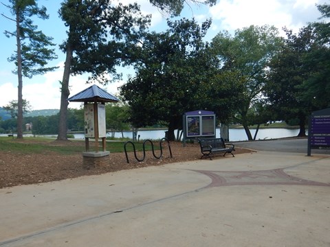
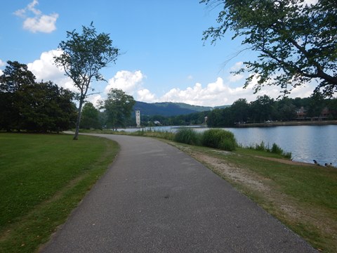
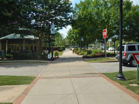
Trail at Unity Park (loop)
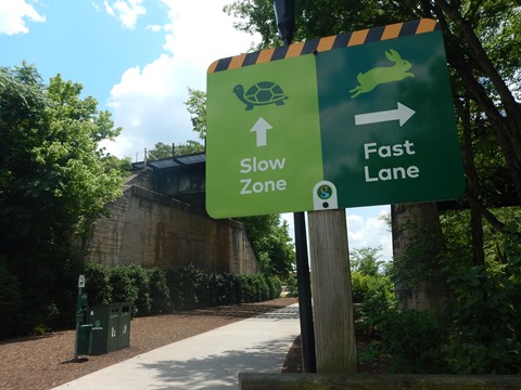
- At Unity Park choose the "Fast Lane" and go straight, or cross the bridge over the river on the "Slow Lane" to Unity Park facilities (parking, restrooms, picnic, playgrounds, splash pad, welcome center, event space, restaurants at The Commons, and a bike shop).
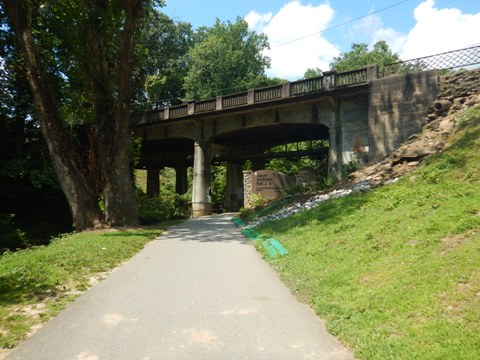
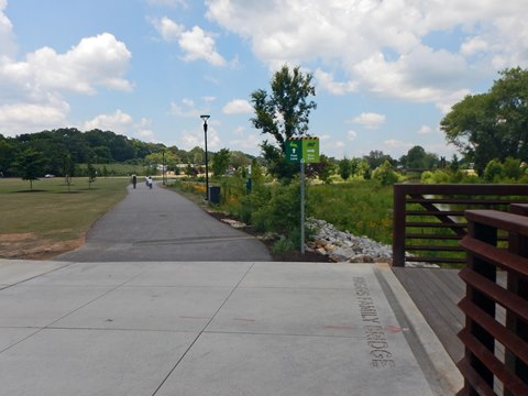
- We started along the "Fast Lane" past Mayberry Park (restrooms, basketball court, picnic tables). The trail passes a couple more bridges over the river, a brewery and a parking lot. Than after going under a railroad bridge it crosses the river.
- From here the trail crosses Willard St. and continues north toward
Travelers Rest, but we turned back, returning on the "Slow Lane" through
Unity Park back to Hudson St. (0.5 mile), across the Hagins Family
Bridge to the main trail, and return to Cleveland Park.
More information
On the "Fast Lane"
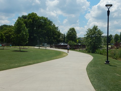
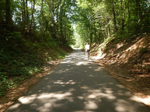
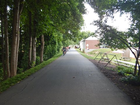
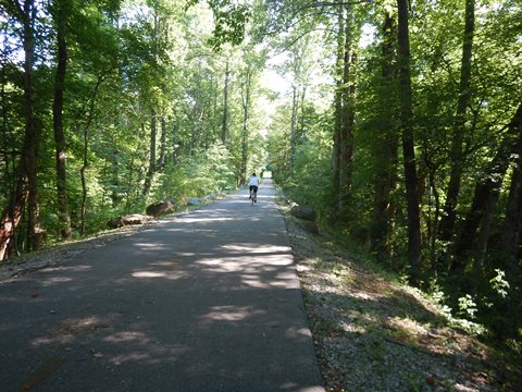
Trail at Travelers Rest - 6 miles
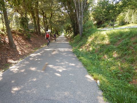
This section continues easy to ride - mostly flat, with long straightaways. Features include:
- Furman University
- Chris and Kelly's HOPE Fitness Park
- Trailblazer Park
- Downtown Travelers Rest
- Gateway Park
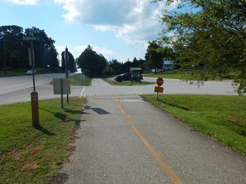
- Grandview Trailhead
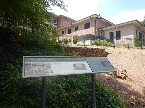
Furman University
Founded in 1826, Furman is the oldest private university in South Carolina. Its 750-acre wooded campus is ranked among the most beautiful in the U.S. and we have to agree.
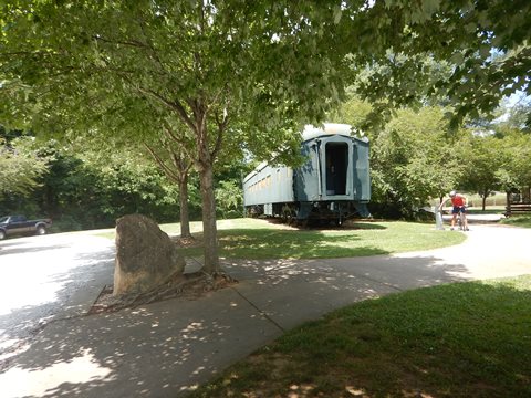
Swamp Rabbit Trail at Furman University
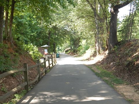
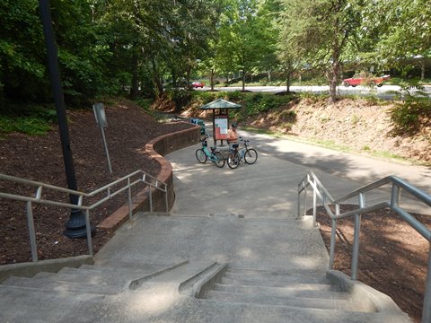
We started from the trailhead at Duncan Chapel Road (near the Furman University sports complex), with parking, benches, information board, railcar exhibit, and a soft drink machine. The trail continues wide and flat, then In 1/2 mile is an access point to the university with benches, information board and bike fix-it station. We detoured here to see the university and ride the Lake Loop Trail.
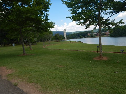
Lake Loop Trail at Furman University
The campus includes 13 miles of trails, we visited the 1.8 mile Lake Loop Trail, which circles 40-acre Swan Lake featuring views of Paris Mountain and the Furman Bell Tower (1854). We only rode a short portion of the trail, beautiful and wooded. Other features include the Student Center, picnic area, amphitheater, Japanese Garden and Temple, Rose Garden, and Henry David Thoreau replica cabin.
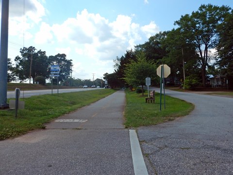
Furman University to Trailblazer Park - 3 miles
Furman University to HOPE Fitness Park
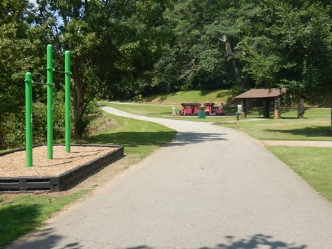
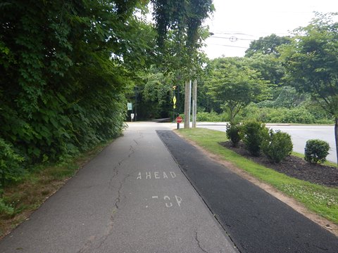
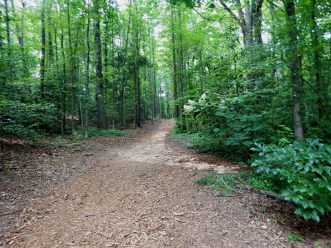
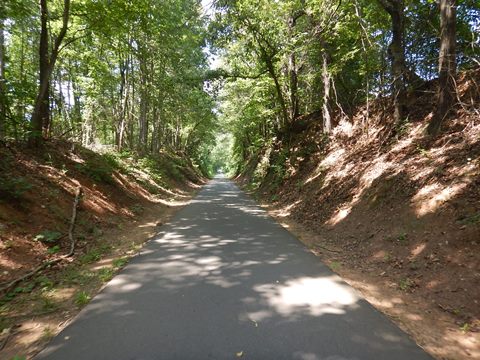
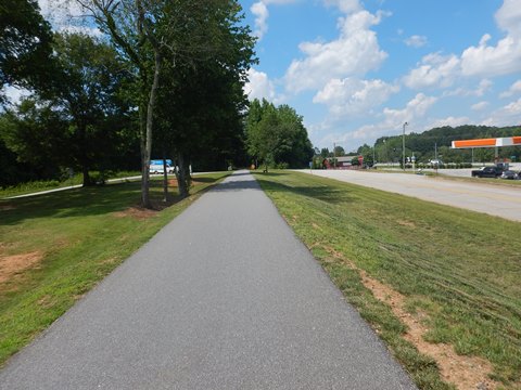
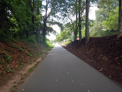
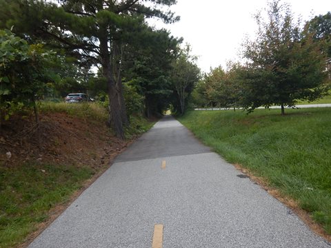
Continuing past Furman the trail is wooded and scenic, with some rocky outcroppings through rail cuts. There are a few road crossings, with an underpass at busy US 25. At about 2 miles, Chris and Kelly's HOPE Fitness Park offers fitness equipment and a picnic pavilion.
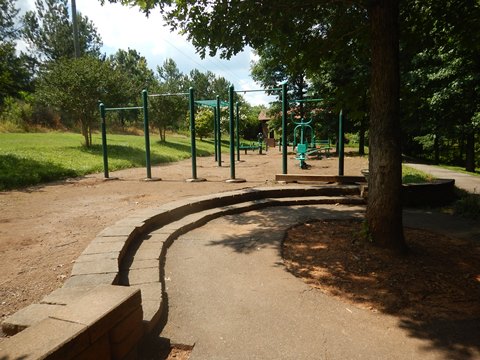
The Chris and Kelly’s HOPE Foundation provides financial support to programs that treat teens and young adults who struggle with substance abuse and addiction.
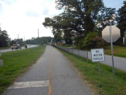
HOPE Fitness Park to Trailblazer Park
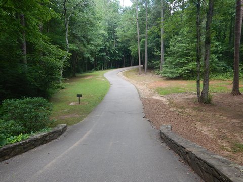
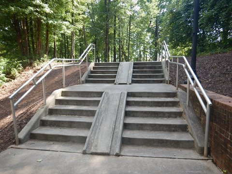
The trail toward Trailblazer Park (1 mile) gets busier with some road crossings, views of homes, and roadside past a business area. Trailblazer Park has parking, restrooms, picnic, playground. Take the stairway up to the park (the center trench is to walk bikes up and down), or continue to the spur trail.
Trailblazer Park is a performing arts and cultural center that hosts special events, music, movies, and the Travelers Rest Farmers Market.
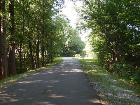
Trailblazer Park to Trail End - 3 miles
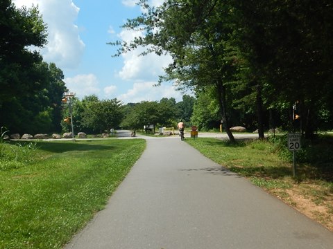
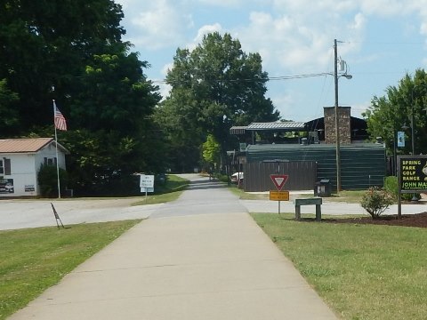
Trailblazer Park to Gateway Park - 1 mile
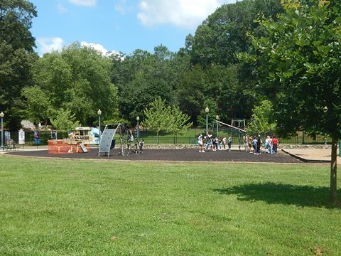
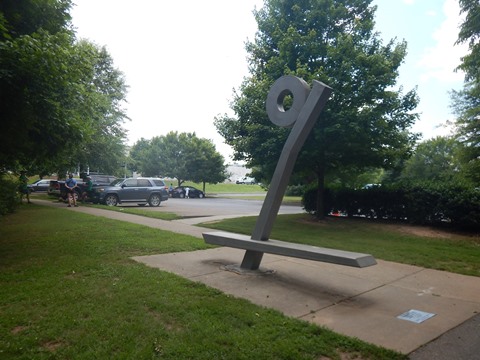
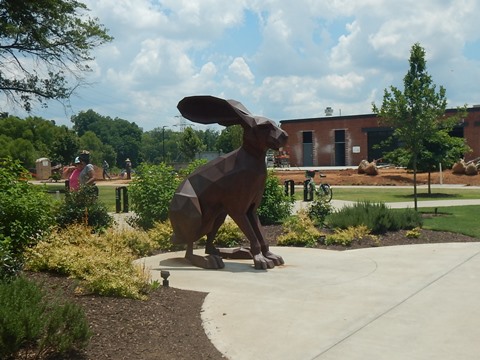
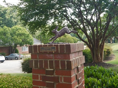
Past Trailblazer Park, the trail runs between Old Buncombe Rd. and S. Main St. (US 276), then running roadside through central Travelers Rest with restaurants, shops, and parks. There are some cross streets, so keep watchful. Past a golf range, it turns away from the road past parking and more restaurants, then emerges back to S. Main St. at McElhaney Rd. (look for the bronze Swamp Rabbit sculpture welcoming visitors). Cross S. Main St. to Center St. near Gateway Park (parking, restrooms, mountain biking Bike Skills Flow Park, picnic, playground, athletic fields) and continue on the trail alongside N. Main St.
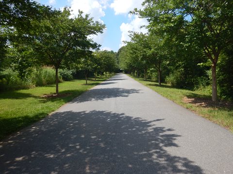
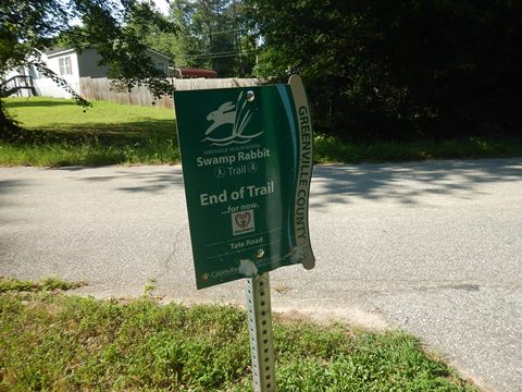
Gateway Park to Trail End - 2 miles
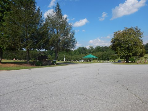
The trail now runs alongside N. Main St. (US 276, which becomes Geer Hwy.) - be careful at road crossings. It's about one mile to the trailhead at Grandview Cemetery. (parking, information kiosk). Then in another 3/4 mile the trail turns away from the road into a scenic wooded section running to trail end at Tate Rd. There's no parking, but signs direct bikers to a nearby market.
More Information and Resources
More Biking:
Doodle Trail
(Easley to Pickens, SC)
Bike-South Carolina
- More information about biking in South Carolina
Related Resources:
City of Greenville - Swamp Rabbit Trail Network
Greenville
County Parks and Rec - Swamp Rabbit Trail
Support and Advocacy:
List of Friends Groups for city parks
Bike Walk Greenville
Upstate Greenways & Trails Alliance
Copyright © BikeTripper.net. All Rights Reserved. Have Bikes - Will Travel