Bike Tripper
Have Bikes, Will Travel
Bike Trail Maps & Photos Galore
You are here >
Home >
Ohio >
Sandusky Bay Pathway
Reported: October 2021
Sandusky Bay Pathway...
Waterfront Bike Trail in an Historic Downtown
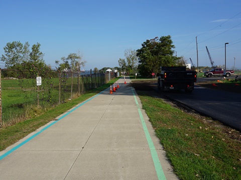
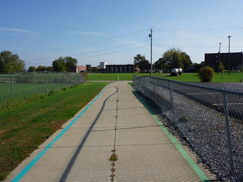
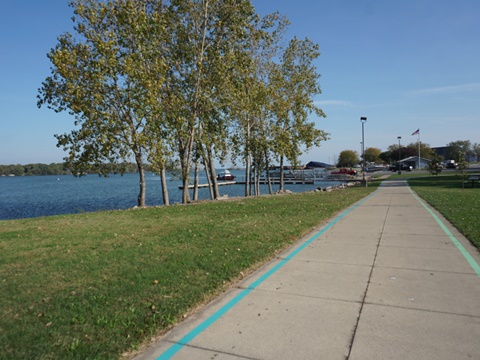
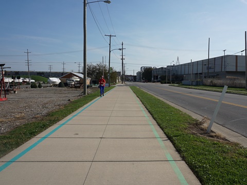
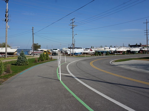
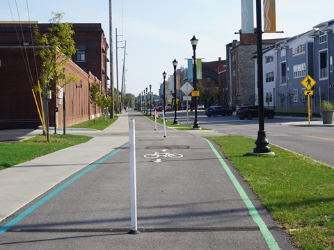
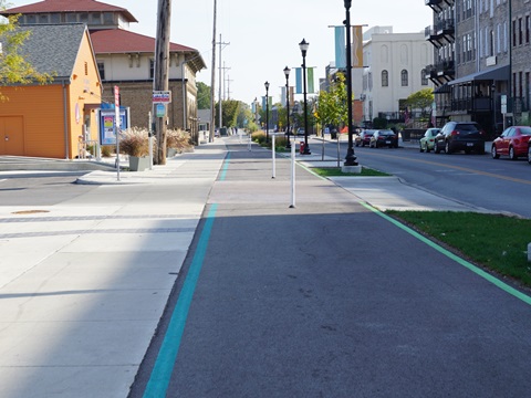
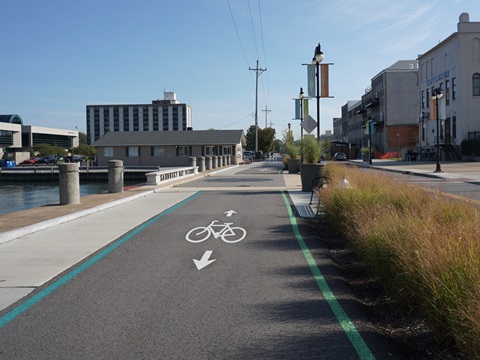
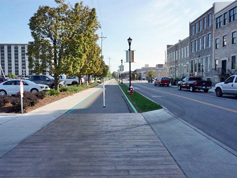
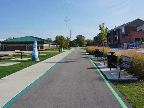
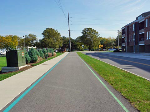
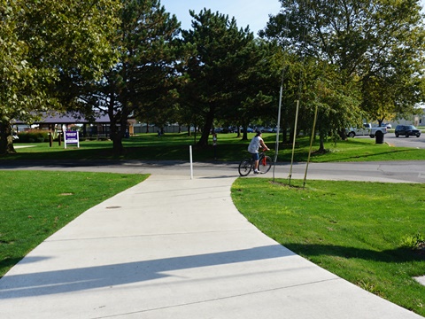
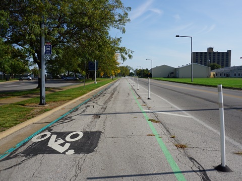
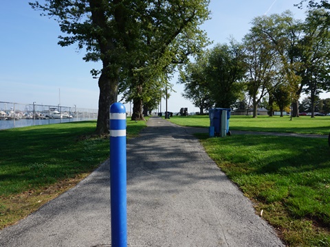
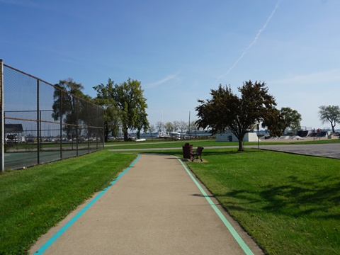
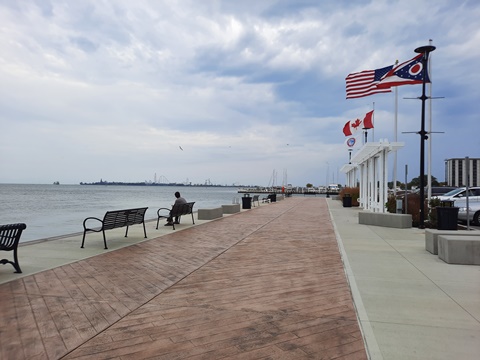
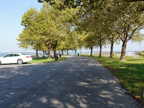
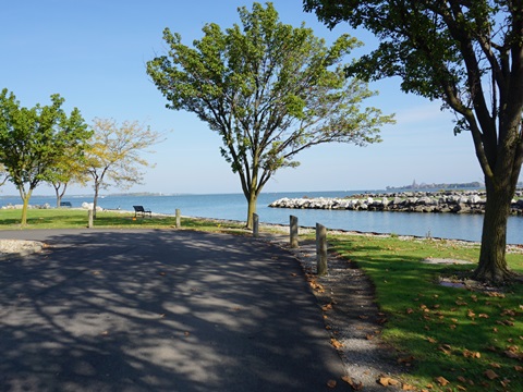
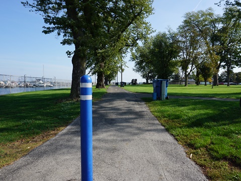
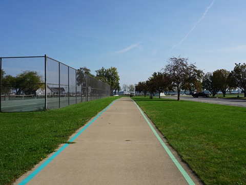
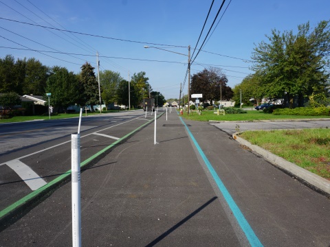
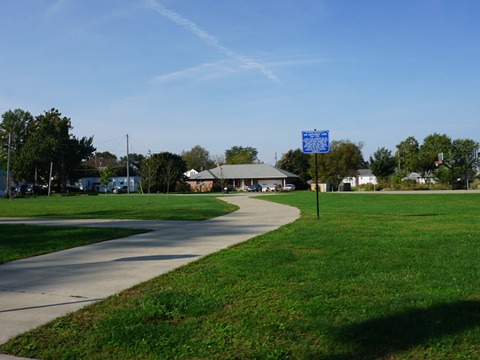
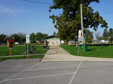
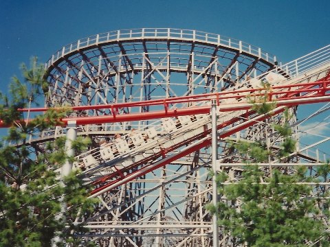
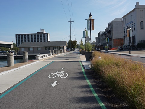
Sandusky, Ohio, is best known for Cedar Point (dating from 1870), considered one of the USA's best amusement parks and "Roller Coaster Capital of the World." Myriad hotels, restaurants and other amusements serve the summer tourist crowds. But there's more to Sandusky. Taking advantage of the scenic waterfront, the Sandusky Bay Pathway is being developed to connect residents and visitors to downtown and the waterfront. Currently 3.25 miles in two sections including several city parks, eventually it will run 12 miles from Bay View at the west to Sheldon Marsh Nature Preserve at the east. Green and blue striping delineates the path, very helpful especially where it shares the road. (Detailed map and photos below.)
Location: Erie County (Sandusky, OH) (See map)
Distance: 3.25 miles (2 sections to date, 12 when
completed)
Surface: Asphalt
Trailheads/Parking:
Battery Park, Shoreline Park, Jackson St. Pier
Nearby Places of Interest: Cedar Point,
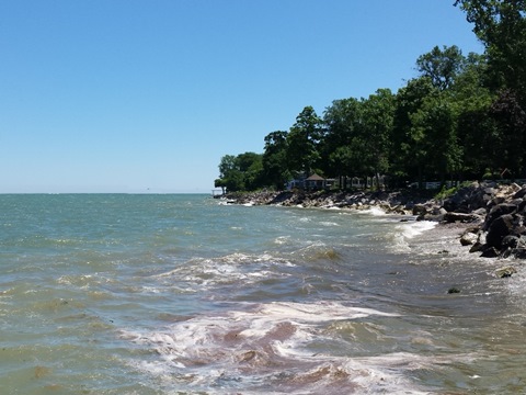
Sandusky Area parks and beaches, Marblehead Lighthouse,
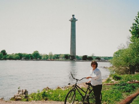
Perry's Victory & International Peace Memorial (Put-in-Bay),
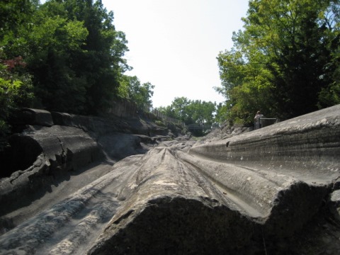
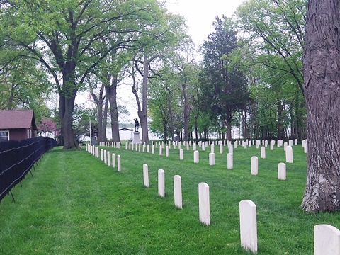
Glacial Grooves (Kelleys Island), Confederate Cemetery (Johnson's
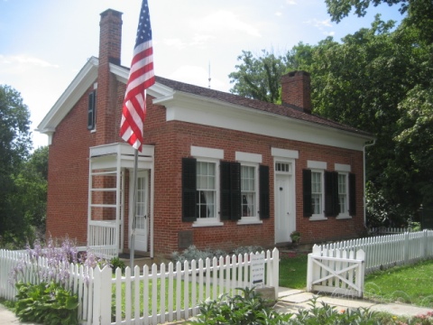
Island), Thomas Edison Birthplace (Milan),
many other attractions and more
Bike Shops/Rentals:
A & B Hobbies and Cycles  (Sandusky; sales, service)
Pedego Electric Bikes  (Sandusky; rentals, sales, service)
Support and Advocacy:
Sandusky Bay Cycles Bicycle Cooperative 
Page Summary:
- Biking on Sandusky Bay Pathway
- Downtown Corridor
- Shoreline Drive
- Downtown Sandusky
- Jackson St. Pier
- Shoreline Park
- Battery Park - Western Corridor
- Bay View
- Venice Road
- Lions Park - Eastern Corridor
- Future Development - Nearby Places of Interest
- More Information and Resources
Biking on Sandusky Bay Pathway... Comments and Photos
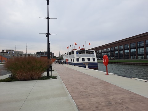
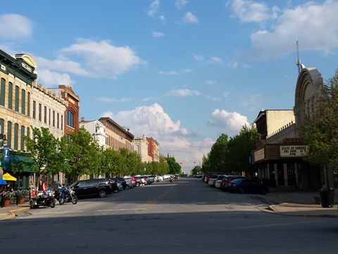
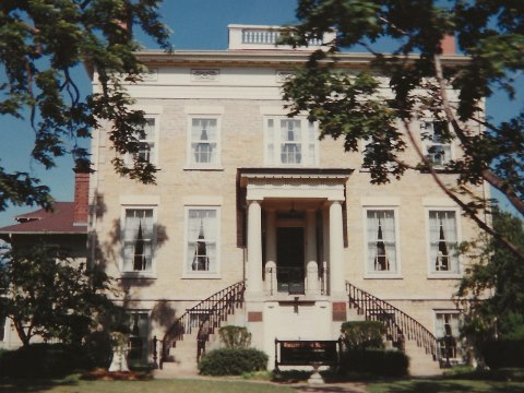
The city dates to 1818, having developed as an industrial port town. Today, the Historic Downtown is undergoing a renaissance, with old buildings and warehouses converted into restaurants, shops, and condos. Ferries sail to Lake Erie's islands (Put-in-Bay, Kelleys Island, Pelee Island) from waterfront piers along the Pathway. Neighborhood connector trails from the Pathway to downtown and beyond are also planned - a nice amenity for both locals and visitors.
Currently the Downtown Corridor is most developed. As regular visitors to the area and avid cyclists we'll continue to track the expansion west and east of Sandusky Bay Pathway.
Downtown Corridor
Mills Street to Shoreline Drive
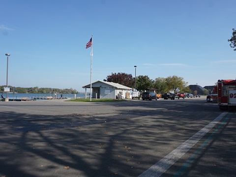
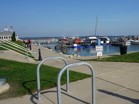
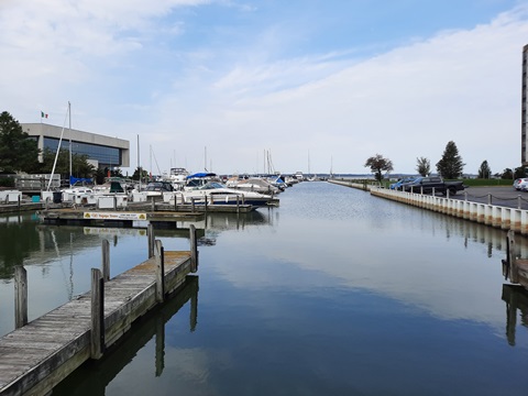
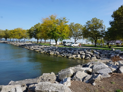
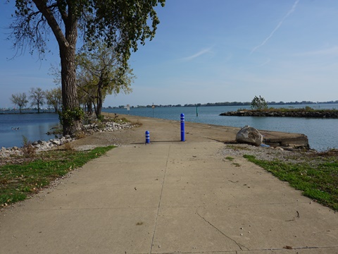
This section starts on Mills St. at AMVETS Post 17, then branches off the road. It passes the Post and its playing fields, then runs along the shoreline to the Shelby Street Boat Launch. From here it runs roadside along W. Water St. with marinas to the north and a commercial area to the south. A pleasant stop at the Paper District Marina is the Dockside Cafe (in season) with great views of the Bay. At Decatur Street, the pathway turns north to Shoreline Drive.
Shoreline Drive - Downtown
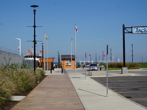
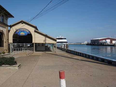
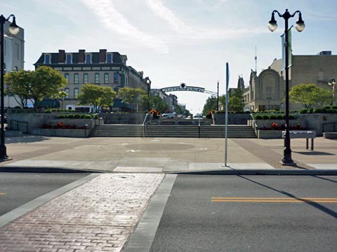
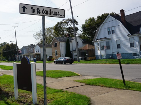
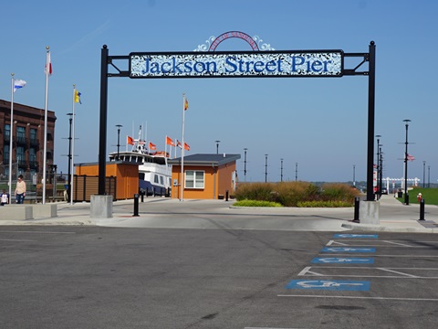
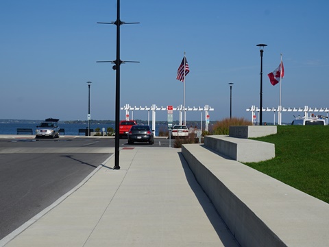
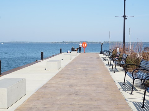
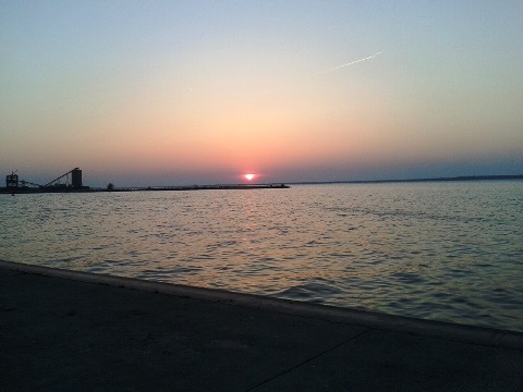
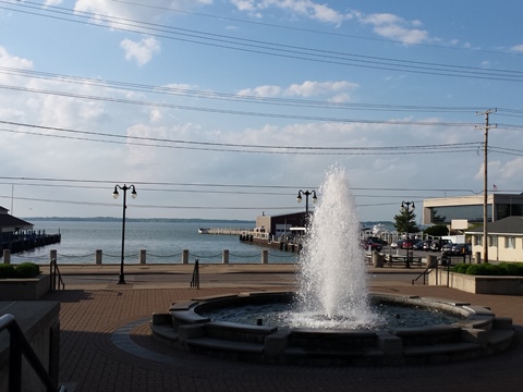
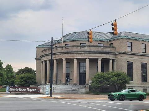
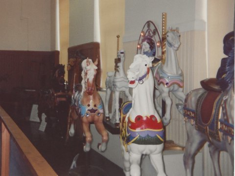
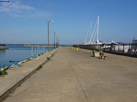
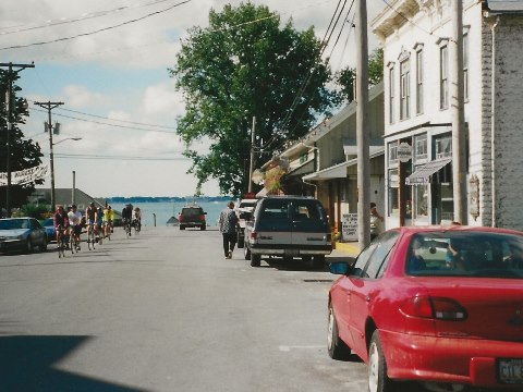
This section encompasses Sandusky's main downtown area. Lake Erie cruises and ferries to the islands leave from Jackson Street Pier, a popular gathering space with great sunset views. Restaurants, shops and piers are located along Shoreline Drive. At Mylander Park look for the big sign spelling out "Sandusky Bay Pathway" - this is considered home base or as it's been dubbed, "Mile Marker Zero.". Directly across the plaza is Columbus Ave., the main street through downtown. Two future loops are envisioned through the downtown area, one featuring cultural amenities (Merry-Go-Round Museum, library, Washington Park), and a second visiting historic parks (Miami, Epple and Huron). This section ends at Franklin Street.
Shoreline Drive to Battery Park
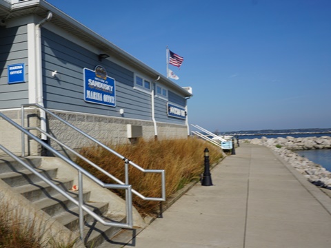
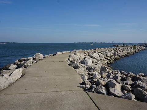
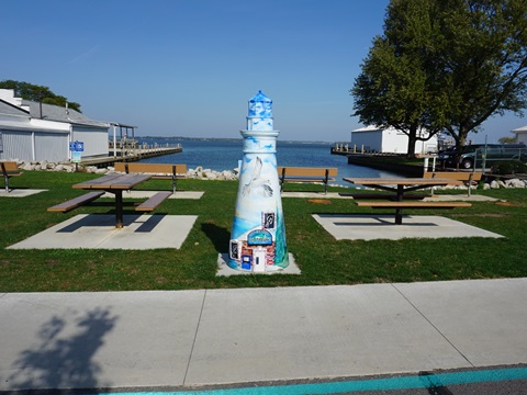
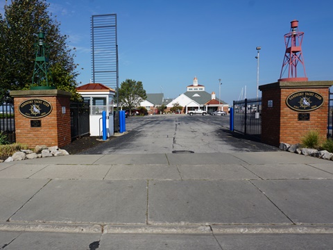
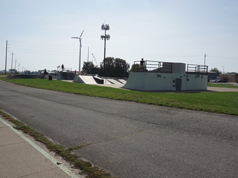
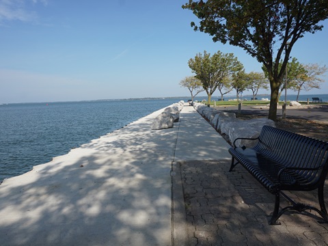
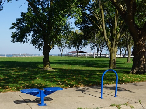
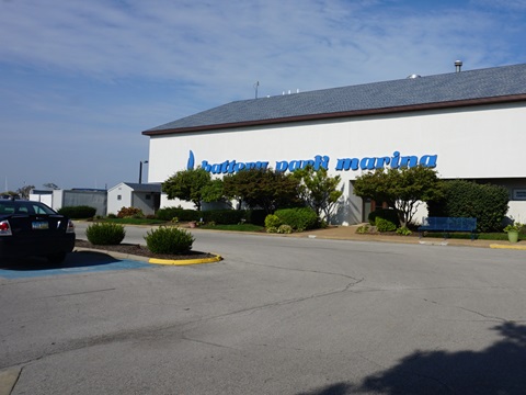
Shoreline Drive ends at Franklin Street, Shoreline Park is a pleasant diversion here with great views of Cedar Point. Then the Pathway joins E. Water St. and continues past the Sandusky Yacht Club and Maritime Museum to Battery Park. The Pathways winds through Battery Park, then circles to the Skate Park and Washington St. Pier. The Pathway currently ends at Washington and Meigs St.
Featured in this Section
Jackson St. Pier
Parking, restrooms, swings and benches, fishing, ferry terminals, event fields
Downtown
Restaurants, shopping, parks, museums, historical sites, entertainment..
Shoreline Park
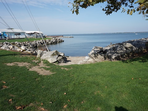
Piers 1846-1973. Today: parking, restrooms, picnic, benches, playground, fishing, paddling
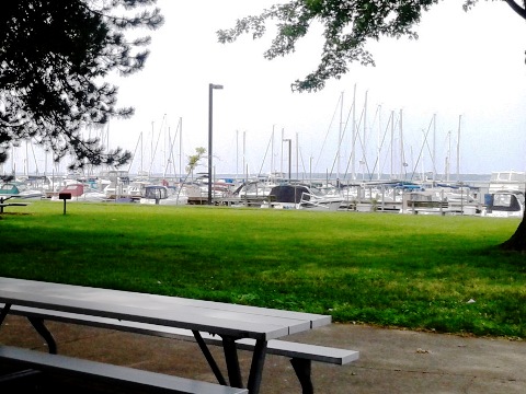
Battery Park Marina & Pier
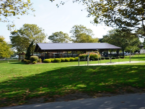
Shipbuilding 1864-1933. Today: Parking, restrooms, picnic, marina, fishing, playground, tennis.
Western Corridor
Bay View
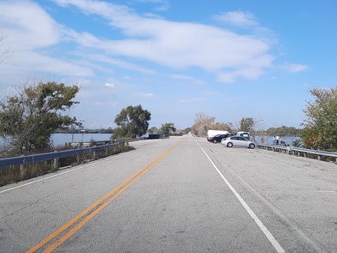
This is a future section, from Bay View and the Bay View Fishing Pier.(the former Bay View Drawbridge to Marblehead). It will run along Barrett and Venice Roads, paralleling the bayshore, to Fremont Ave. where an existing segment starts.
Venice Road to Downtown Corridor
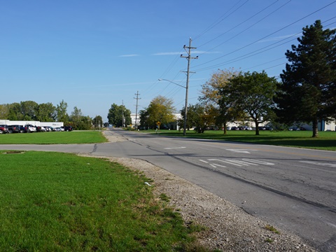
The pathway runs about a mile from Fremont Ave. to Edgewater Ave. From here is a sidewalk route north to Lions Park and east to the Downtown Corridor.
Eastern Corridor
Future Development
The Pathway will continue to the east. The first section will run to the Cedar Point Causeway and Pipe Creek Wildlife Area. The second section will run through The Landing, a planned 27-acre waterfront park, where it also will provide a link to the Cedar Point Sports Center. The third section will run to Erie County's Sheldon Marsh Nature Preserve.
Nearby Places of Interest
Some of our Favorites
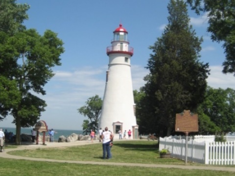
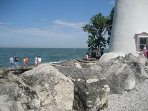
There's a lot to see and do in the area. Too much to show all, but here's a quick tour of some of our favorites, with historic references.
More Information and Resources
Nearby Biking:
Huron River Greenway
North Coast Inland Trail
University/Parks
Trail
Bike-Ohio - More bike
trails and information about biking in Ohio
Related Resources:
City of Sandusky - Parks and Recreations 
Copyright © BikeTripper.net. All Rights Reserved. Have Bikes - Will Travel
