Bike Tripper
Have Bikes, Will Travel
Bike Trail Maps & Photos Galore
You are here > Home >
Maryland >
C&O Canal Towpath
Latest update: June 2022
C&O Canal Towpath...
Biking in Maryland
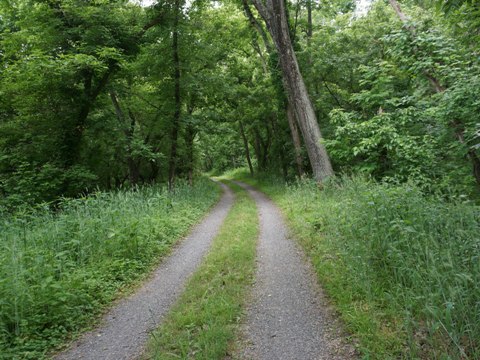
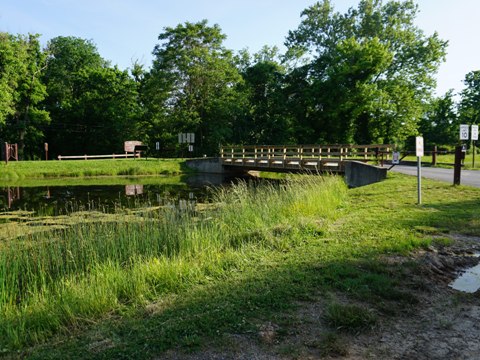
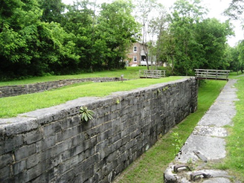
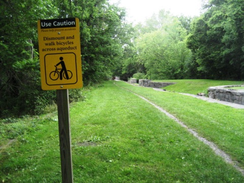
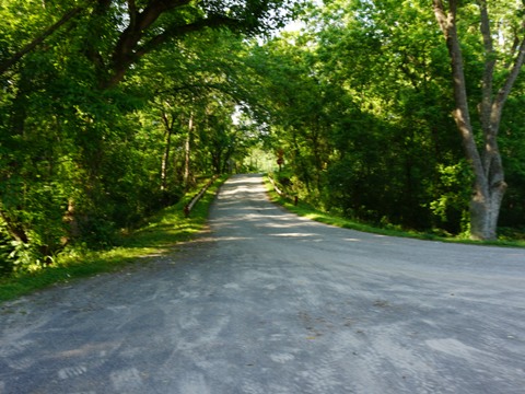
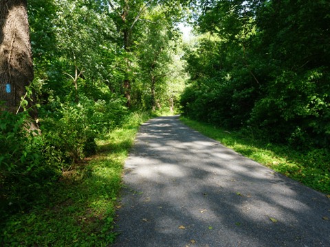
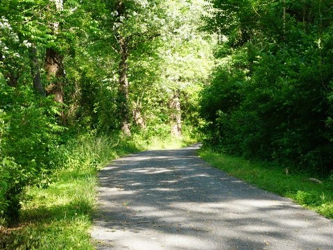
The C&O Canal Towpath runs 184.5 miles along the Chesapeake & Ohio Canal paralleling the Potomac River from Cumberland, MD, to Washington, DC. Although the canal is mostly drained, it is now a National Historic Park and the towpath a popular recreational trail. A ride on the towpath is a ride through history including the Revolutionary and Civil Wars, and tracks a central component of transportation history. Sights range from urban to wilderness areas. 75 locks and 11 aqueducts are reminders of the canal's past. Activities along the towpath include hiking, camping, biking, boating, kayaking, horseback riding, skiing, and visiting historical sites. Note that the Towpath can be very bumpy especially in the more remote areas, and weather can shut down sections. Wide tires and a repair kit are recommended. (Detailed map and photos below.)
Location: Cumberland, MD to Washington, DC (See map)
Distance: 184.5 miles
Surface: Clay and crushed stone
Trailheads: Visitor Centers at Cumberland, Hancock,
Williamsport, Brunswick, Great Falls Tavern, Georgetown. Ferry Hill
Plantation. Paw Paw Tunnel parking.
See all parking options 
Nearby Places of Interest: Fort Frederick State Park, Clara Barton National Historic Site, Harpers Ferry, Green Ridge State Forest, Woodmont Natural Resources Management Area, many more historical sites
Bike Shops/Rentals:
Cumberland Trail
Connection  (Cumberland, MD;
rentals, sales, service, shuttle)
C&O Bicycle
 (Hancock, MD;
rentals, sales, service, shuttle)
River
& Trail Outfitters  (Brunswick,
MD, Harpers Ferry, WV; rentals, tours, shuttle)
Big Wheel Bikes
 (Georgetown, DC;
rentals, sales, service)
Page Summary:
- Biking on the C&O Canal Towpath
- Towpath at Cumberland
- At the Visitor Center
- Along the Canal/River - Paralleling Western Maryland Rail
Trail - Access Points
- Little Orleans-15 Mile Campground and Park
- Indigo Tunnel Bypass
- Little Tonoloway Recreation Area to Hancock Station
- Hancock Visitor Center
- Little Pool - Harpers Ferry
- More Information and Resources
Biking on the C&O Canal Towpath - West to East... Comments and Photos
Six Visitors Centers provide maps and
information (Cumberland, Hancock, Williamsport, Brunswick, Great
Falls Tavern, Georgetown). Most visitors will chose a section of
towpath to visit - while the Visitors Centers are mostly
located close to towns along the way with food and accommodations,
large sections of the Towpath run through remote areas with no
immediate road access. Campgrounds and camp sites are located
along the way - drive-in and group sites are by reservation at
www.recreation.gov
 , while primitive
hike/bike sites are available every 5-7 miles. Some of the old
lockhouses have been refurbished and are available
for rent from the
C&O Trust
 . Canal boat
rides are offered in a few locations where the canal is navigable.
Towpath at Cumberland
At the Visitor Center - Mile 184.5
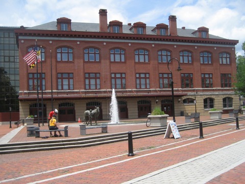
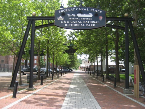
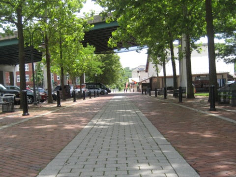
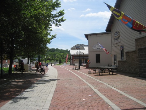
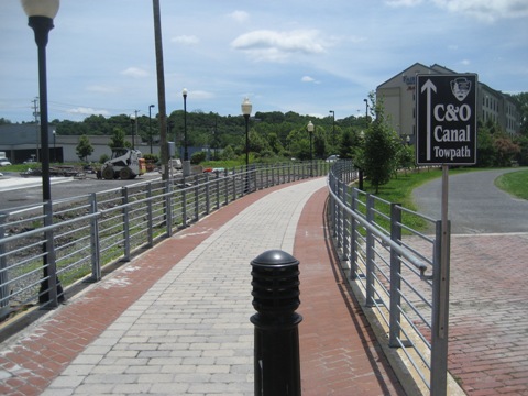
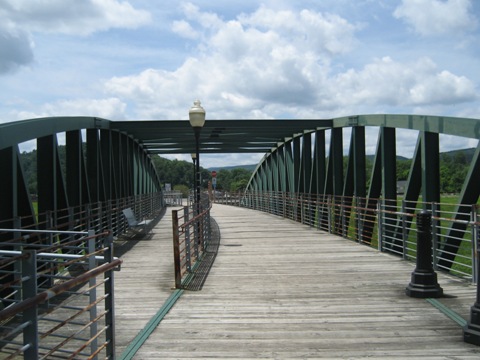
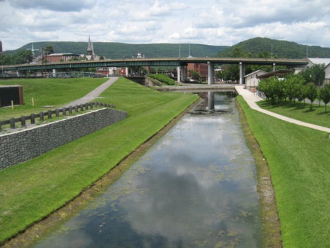
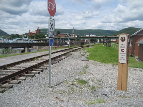
The C&O Canal Towpath starts at the Cumberland Visitor Center. From the Visitor Center and heading south, it runs under I-68 (crossing to West Virginia) and through the Shops at Canal Place. This section is paved with brick pavers. A series of ramps and bridges take the path over the canal, then the towpath continues unpaved after crossing a railroad track. Going north from the Visitor Center, the towpath joins with the Great Allegheny Passage to continue 150 miles to Pittsburgh, PA.
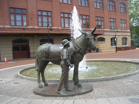
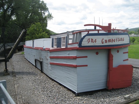
Located in the Western Maryland Railway Station (1913), the Visitor Center has information and interactive exhibits. The Shops at Canal Place are adjacent, with parking, restrooms, bike shop/repair, playground, restaurants, shops, railroad museum, festival event grounds, and nearby accommodations. “The Cumberland” is a full-sized replica canal boat constructed in 1976, tours are available.
Along the Canal / River
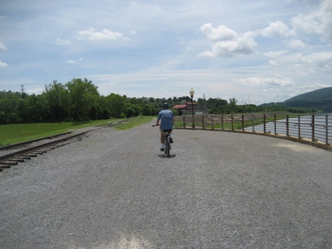
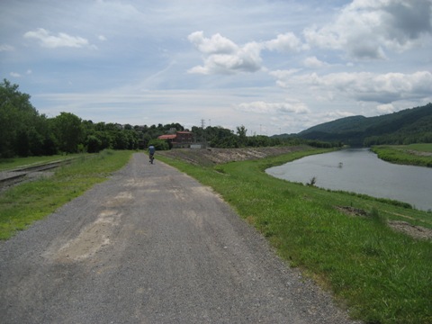
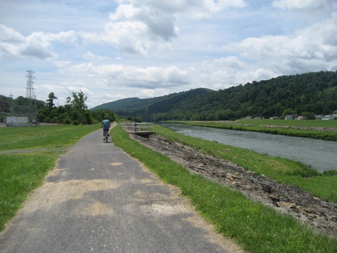
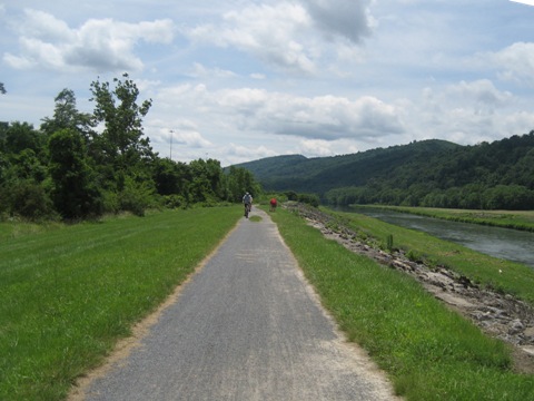
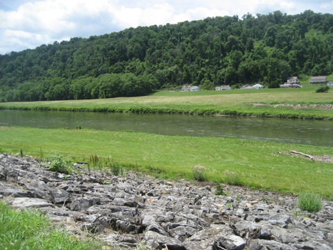
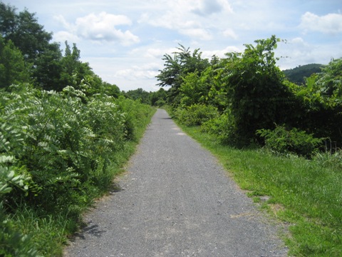
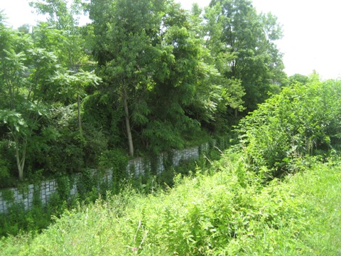
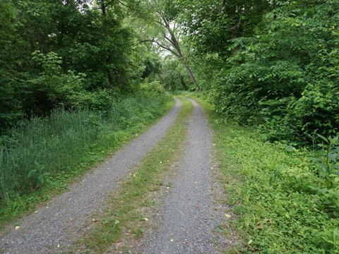
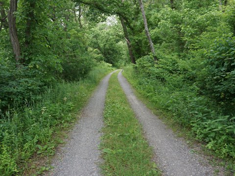
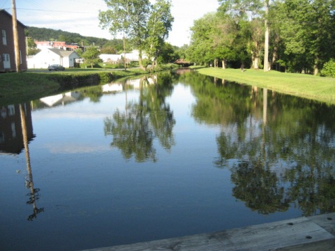
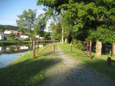
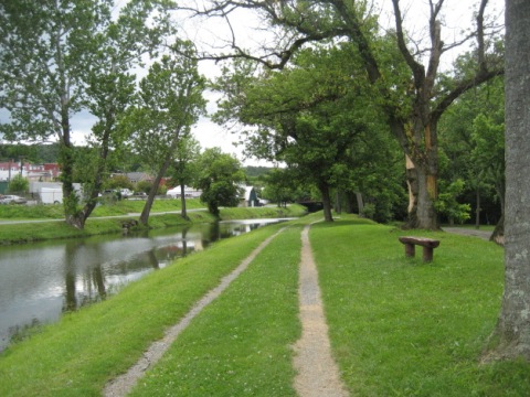
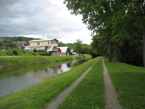
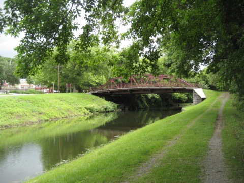
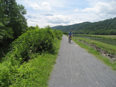
After crossing the bridge the towpath surface turns to gravel, running between the Potomac River and the Canal with mountain views. A section of canal closer to town was cleared, but became overgrown as we proceeded.
Further along the towpath at mile 155.5 is a significant feature that we hope to visit on a future trip. The Paw Paw Tunnel (1850) is considered an engineering marvel - built to avoid 6 miles of canal construction, the canal and towpath go through the mountain for 6/10 mile.
Paralleling Western Maryland Rail Trail - Access Points
The Western Maryland Rail Trail (WMRT) closely parallels the Towpath for 27.5 miles, from Little Orleans to Big Pool. With several access points connecting the two, the WMRT is a nice option for Towpath bikers to detour onto pavement for awhile.
Little Orleans - 15 Mile Campground and Park - Mile 140.9
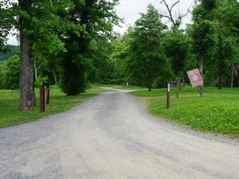
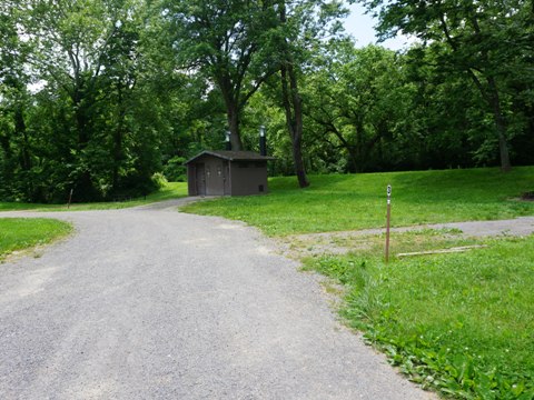
Located near the end of the WMRT, 15 Mile Campground and Park has camping (reservations required), restrooms, parking, and also provides access between the Towpath and rail trail.
Indigo Tunnel Bypass - Mile 138
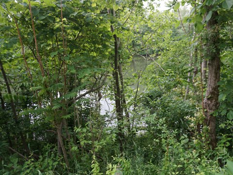
The WMRT detours around the Indigo Tunnel using a series of ramps to connect to the Towpath, then running together for two miles before the WMRT diverges. Nice views of the Potomac River.
Little Tonoloway Day Use Recreational Area to Hancock Station - Mile 124.5
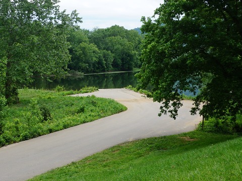
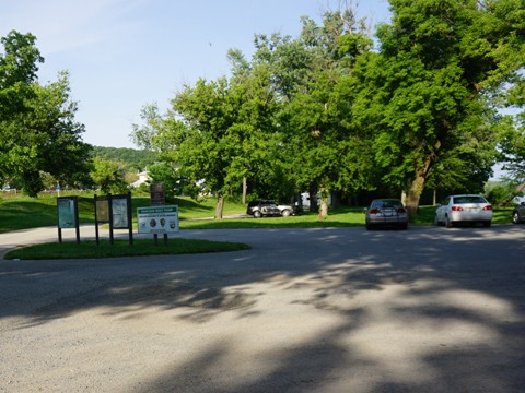
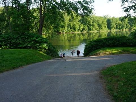
The towpath runs about 1/4 mile between Little Tonoloway Day Use Recreation Area (restrooms, picnic, parking, boat ramp) to Hancock Station near central Hancock (paid parking, nearby food, lodging, and shopping). Accesses to the WMRT are at both ends of this section, from Little Tonoloway via a short street route (passing the C&O Bicycle shop), and at Hancock Station over a bridge.
Hancock Visitor Center - Mile 123
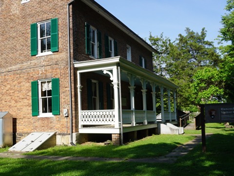
The Hancock Visitor Center is 1.25 miles east of Hancock Station, and another access point to the WMRT. The Historic Bowles House (1785) serves as the Visitor Center. Small parking area, information and maps, porta-potties. Remains of Lock 52 and the Tonoloway Aqueduct are seen here.
Little Pool - Mile 120.6
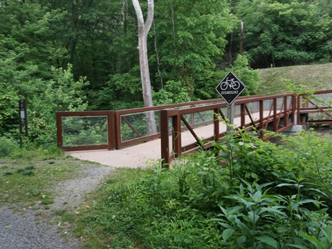
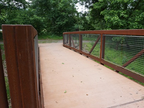
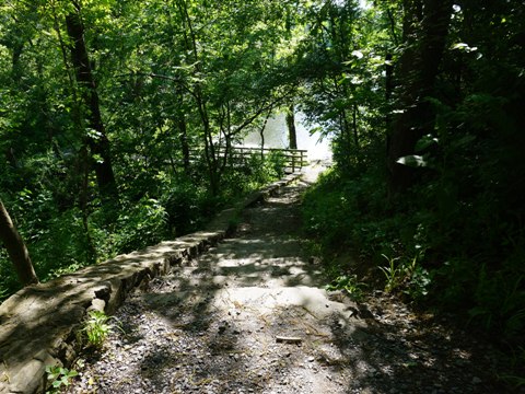
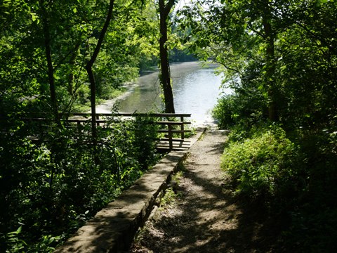
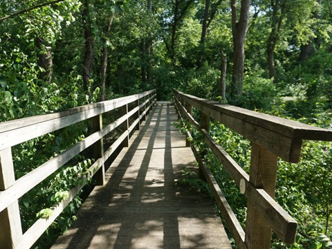
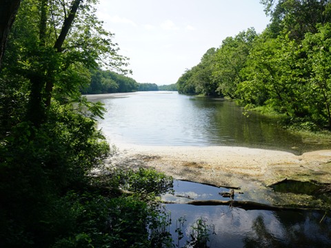
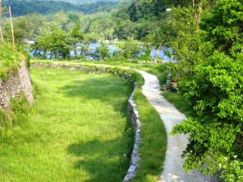
This is the last access to the WMRT, bikers who detoured onto the paved trail will need to cross over to the Towpath to continue. From the WMRT, a path goes down the hillside to the Little Pool (part of the old canal system), then a boardwalk goes across to the Towpath.
Harpers Ferry
Towpath Near Harpers Ferry - Mile 60.7
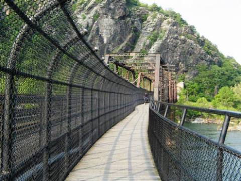
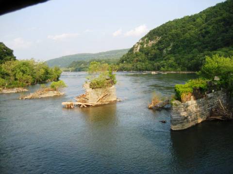
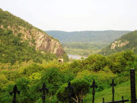
The Towpath doesn't actually go through Harpers Ferry which is in West Virginia, across the Potomac at the juncture with the Shenandoah River. A rail bridge crossing the river has a separate walkway (part of the Appalachian Trail) leading into Harpers Ferry, a popular stop for Towpath riders with restaurants, lodging, shops, and a lot of history. Note: Bikers are asked to walk their bikes across the walkway. Many choose to hike over as there are two flights of stairs to carry your bike between the towpath and the walkway. From the bridge, the Appalachian Trail runs on the Towpath for a short distance before branching off. The White Horse Rapids along the Potomac River are notable.
More Information and Resources
Nearby Biking:
Great Allegheny
Passage
Western Maryland Rail Trail
Bike-Maryland - More bike trails
and information about biking in Maryland
Related Resources:
National Park
Service - Chesapeake and Ohio Canal National Historical Park 
C&O Canal Trust - Trip Planner
Support and Advocacy:
C&O Canal
Trust 
C&O Canal
Association 
Friends of the
Historic Great Falls Tavern 
Georgetown Heritage 
Copyright © BikeTripper.net. All Rights Reserved. Have Bikes - Will Travel
