Bike Tripper
Have Bikes, Will Travel
Bike Trail Maps & Photos Galore
You are here > Home >
Maryland >
Western Maryland Rail Trail
Latest update: June 2022
Western Maryland Rail Trail... Scenic Biking
Paved Bike Trail Parallels the Historic C&O Canal
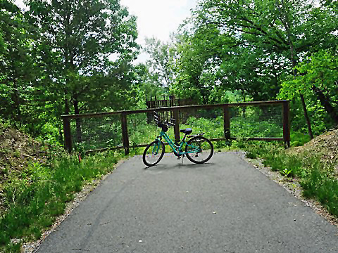
The Western Maryland Rail Trail ("WMRT") is located in the foothills of the Appalachian Mountains and well maintained by the Maryland Department of Natural Resources. The trail runs 27.5 miles on the old Western Maryland Railway railbed, between the tiny communities of Big Pool (near Fort Frederick) and Little Orleans, parallel with the C&O Canal Towpath. Mostly rural, the trail is popular for biking, hiking, and in-line skating, and in the winter for snowshoeing and Nordic skiing. Benches are located regularly along the way. (Detailed map and photos below.)
Location: Little Pool (Fort Frederick) to Little
Orleans, Maryland (See map)
Distance: 27.5 miles
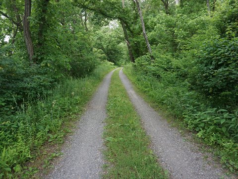
Surface: Asphalt, except 2 miles hardpack (tunnel bypass)
Trailheads: Big Pool, Little Pool, C&O Canal Hancock
Visitor Center, Hancock Station, Pearre Station, Little Orleans
Nearby Points of Interest: Fort Frederick State Park, Woodmont
Natural Resources Management Area, Sideling Hill Wildlife Management Area
Bike Shops/Rentals:
C&O Bicycle
 (Hancock;
rentals, sales, service, shuttle, refreshments)
(Hancock;
rentals, sales, service, shuttle, refreshments)
Page Summary:
- Biking the Western Maryland Rail Trail
- Big Pool to Hancock (10.5 miles)
- Big Pool to Little Pool
- Little Pool to C&O Canal Hancock Visitor Center
- C&O Canal Hancock Visitor Center to Hancock Station - Hancock Station to Pearre Station (11.5 miles)
- Hancock Station to Little Tonoloway Recreation Area
- Little Tonoloway Recreation Area to Pearre Station
- Pearre Station to Little Orleans (5.5 miles)
- Pearre Station onto Indigo Tunnel Bypass
- Indigo Tunnel Bypass to Little Orleans
- Little Orleans to Trail End - More Information and Resources
Biking the Western Maryland Rail Trail (from East to West)... Comments and Photos
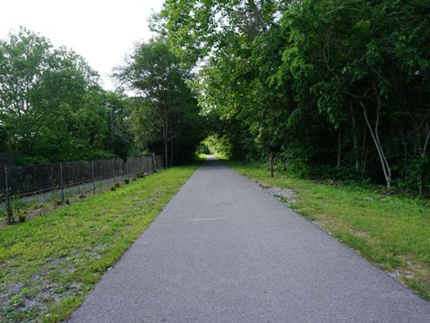
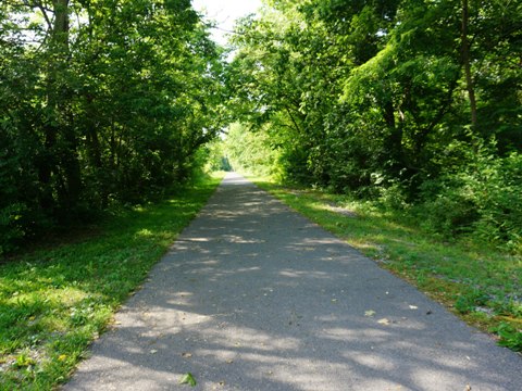
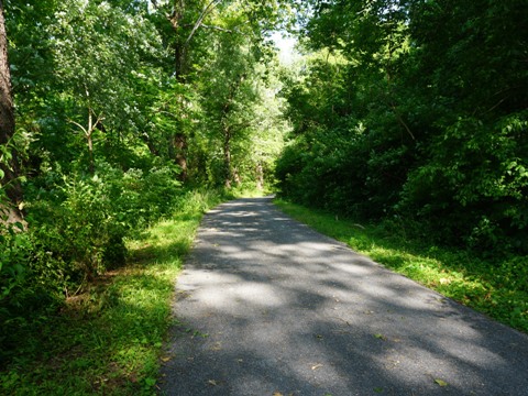
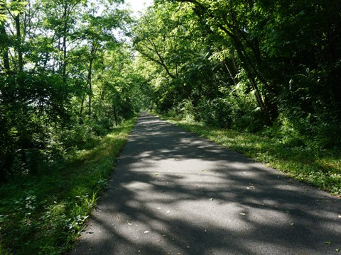
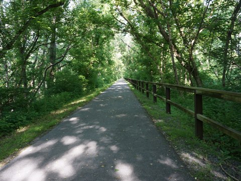
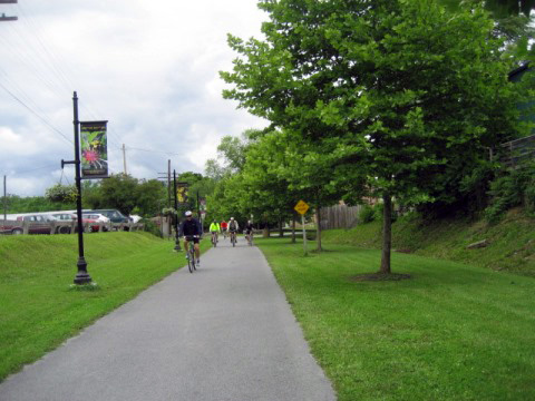
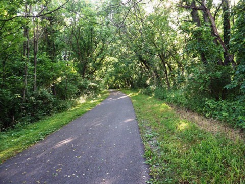
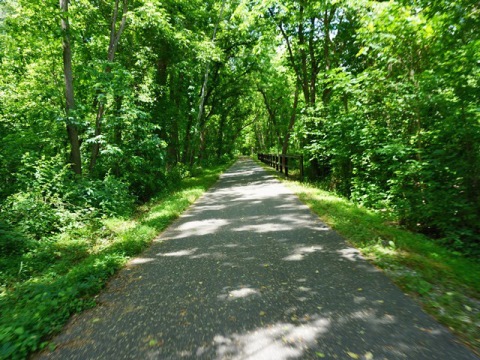
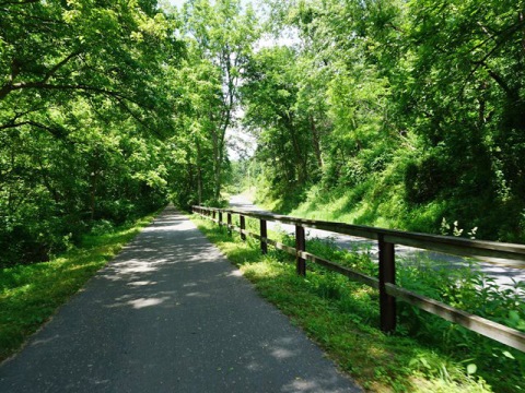
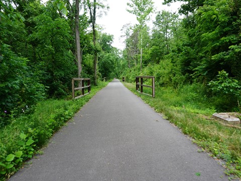
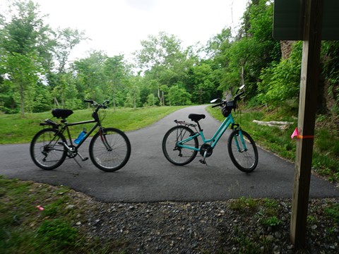
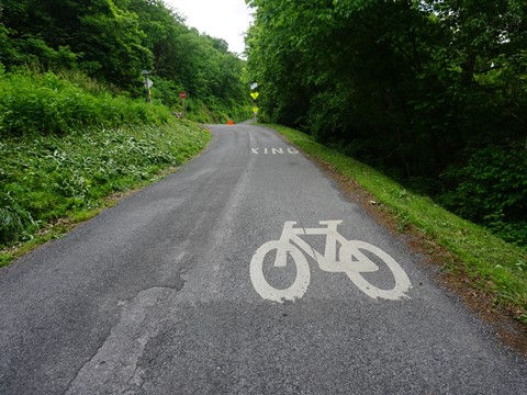
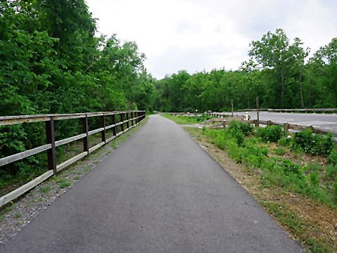
Biking here is a great way to enjoy the tranquil beauty of the Upper Potomac countryside. Lots of shade, a good surface with gentle grades, the trail passes farmland, woodland, and small towns. The paved WMRT closely parallels the unpaved C&O Canal Towpath and there are many links allowing bikers to ride between the two. (Note: the Indigo Tunnel is closed and the towpath serves as a bypass.) The area is full of history, including canal, railroad, Colonial and Civil Wars - numerous interpretative markers are located along the trail. The most scenic sections are west of Hancock, where the trail leaves I-70 and runs through more mountainous terrain (still maintaining a gentle grade), and closer to the Potomac River. Wildlife include deer, bear, squirrel, turkeys and a variety of songbirds. We rate this trail among our favorites. We believe our Google map and 70+ trail photos (in sequence!) will prove helpful in planning a ride.
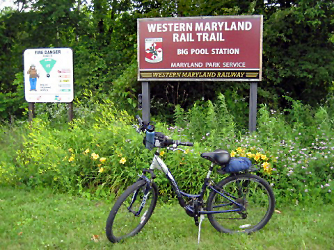
Big Pool to Hancock - 10.5 miles
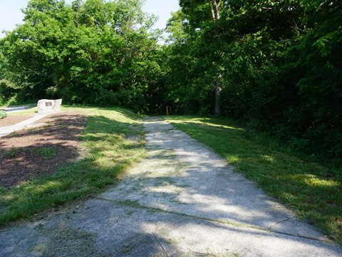
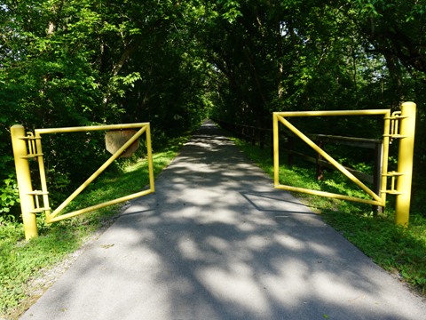
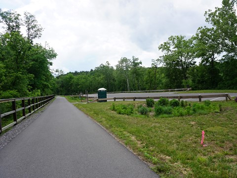
Big Pool to Little Pool
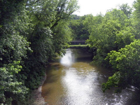
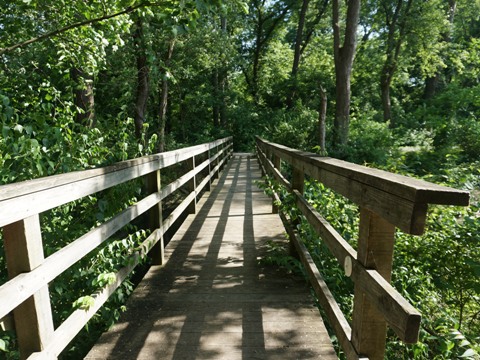
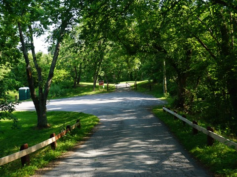
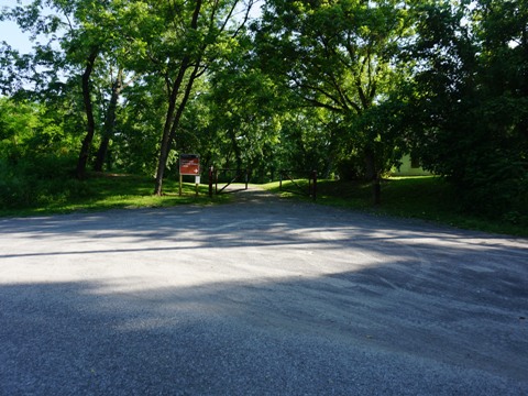
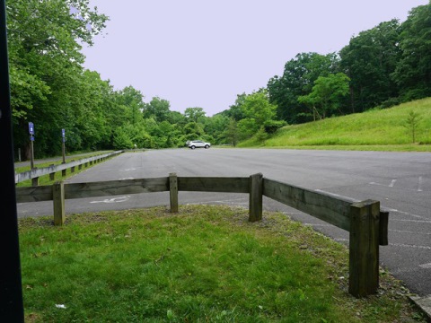
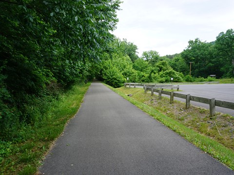
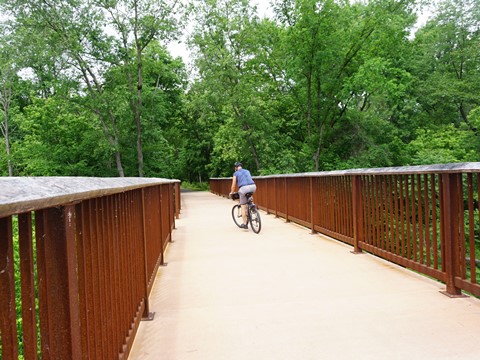
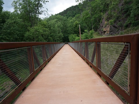
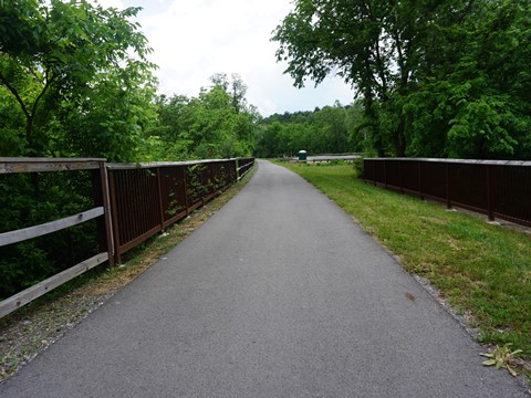
Big Pool Trailhead has parking, restroom, benches and a fix-it station. It's located about a mile from Fort Frederick State Park (the reconstructed Fort dates to the French and Indian War, 1756). This section of trail runs between I-70 and the C&O Canal Towpath. From the trailhead, it starts out alongside the railroad track, then branches away. A few secondary road crossings, a road underpass, and a bike bridge over Licking Creek - from here you can see the Towpath at the Licking Creek Aqueduct (built 1836-38). From Big Pool the trail is about 2/10 mile from I-70, then past Licking Creek it draws to within 100 feet of the highway with considerable road noise (though masked considerably by vegetation).
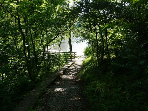
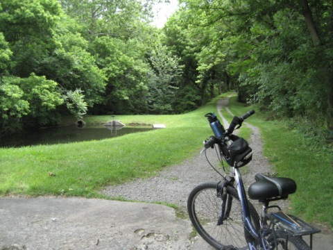
Little Pool to C&O Canal Hancock Visitor Center
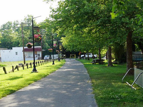
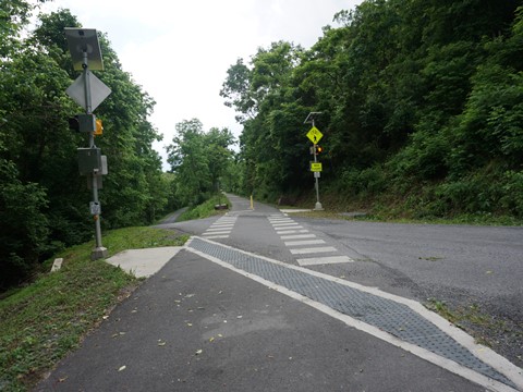
Little Pool Trailhead has parking, no other amenities. Seemingly rarely used and located close to I-70, the road noise is a constant. One feature: from the trailhead and across the WMRT is an access path to the C&O Canal Towpath. Go down the hill to the "Little Pool" (formerly part of the canal system), then over a boardwalk to the Towpath. For the first 2 miles west from Little Pool, WMRT runs close to I-70 (about 100 feet, buffered by vegetation). Then I-70 turns more northerly and the trail parallels Rte. 144 (Main St.), passing the C&O Canal Hancock Visitor Center and into central Hancock.
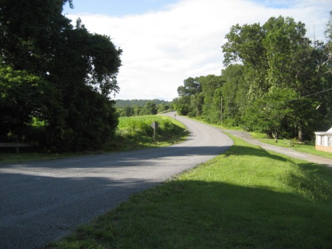
Heading west on I-70, the trailhead is accessed via Rte. 615 (exit 5W). Note: no entrance back onto I-70 westbound, so plan accordingly.
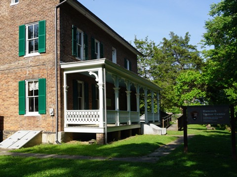
C&O Canal Hancock Visitor Center to Hancock Station
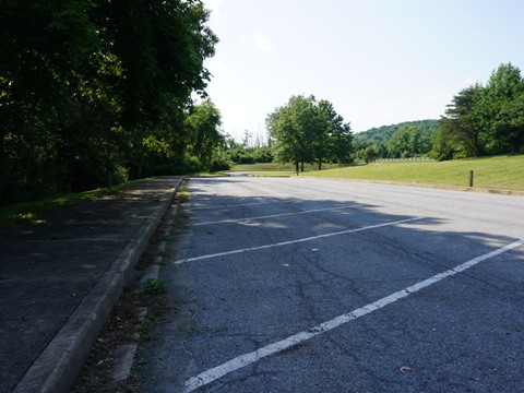
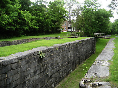
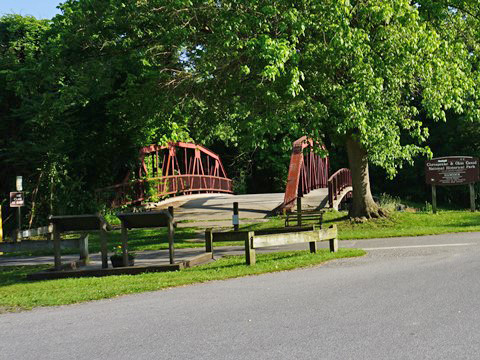
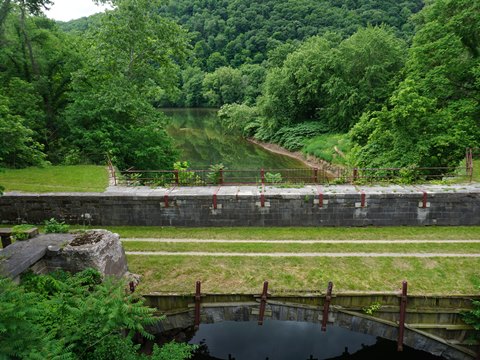
The Hancock Visitor Center is at another access point to the C&O Canal Towpath. The Historic Bowles House (1785) serves as the Visitor Center. Small parking area, information and maps, porta-potties. Remains of Lock 52 and the Tonoloway Aqueduct are seen here. The trail continues westward paralleling Main Street. A Park & Ride lot (shared with commuters) in 1/2 mile provides trail access, or continue another 3/4 mile to Hancock Station.
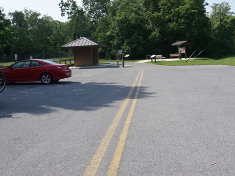
Hancock Station to Pearre Station - 11.5 miles
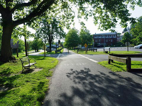
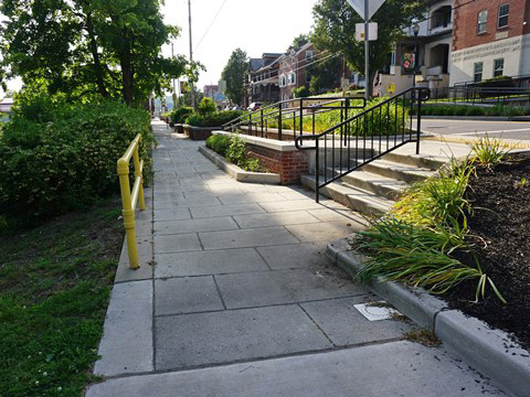
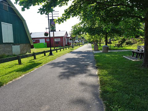
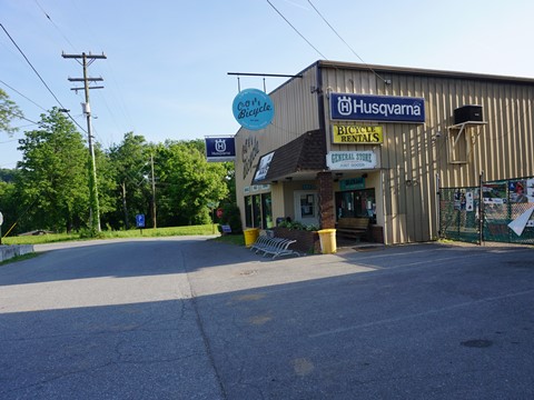
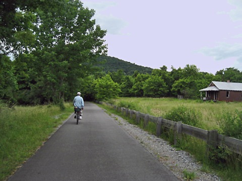
Hancock, MD, Maryland's designated Trail Town, is at about the midpoint of the trail. This is a quaint town with a lot of history, and a good example of a town that was re-created by its rail-trail bypassed when I-70 was built, the town embraces the trail as a major attraction drawing people to the area. Bike shop, food, lodging, and shopping are available.
Hancock Station to Little Tonoloway Recreation Area
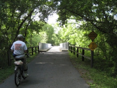
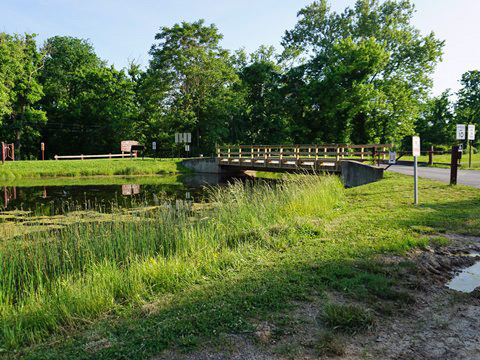
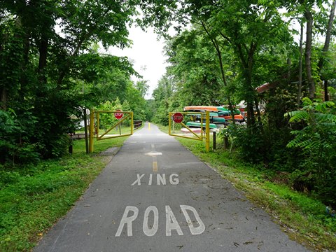
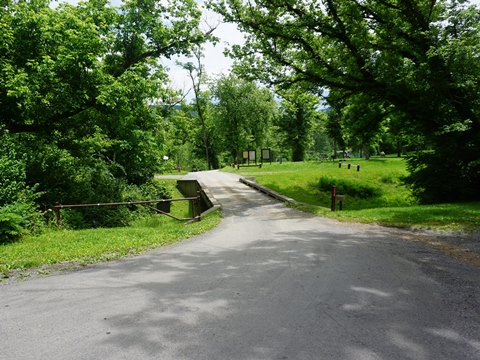
The most popular parking area is at Hancock Station (metered parking), adjacent to the town business center. Buddy Lou's next to the parking area is a popular stop for food and refreshments. An historic bridge crosses the canal here, linking to the C&O Canal Towpath. Leaving Hancock Station and after passing another parking lot, in 2/10 mile is Pennsylvania Ave. - to the left past C&O Bicycle (link above) - is a bridge crossing the C&O Canal to Little Tonoloway Day Use Recreation Area with more (free) parking, restroom, picnic, boat ramp and Towpath access. Back on the WMRT, the trail turns southward, paralleling the towpath along the Potomac River.
Little Tonoloway Recreation Area to Pearre Station
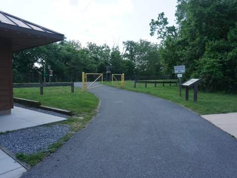
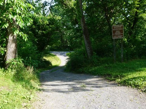
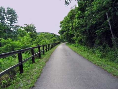
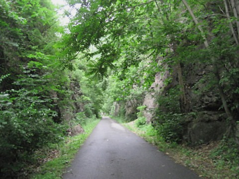
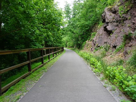
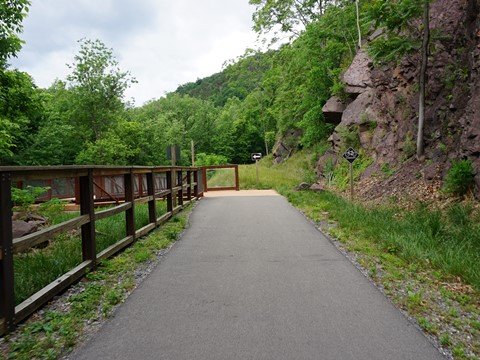
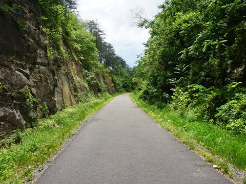
This starts the most scenic section of the trail, with views of the Potomac River and the surrounding mountains, plus rock outcroppings adding variety (note the "Falling Rock Zone" signs). The trail passes Round Top Cement Mill (1830's, the largest employer during the Civil War). This is a remote section with no trailheads and no major road access for 10 miles when Woodmont Road meets Pearre Road. From this point the trail runs alongside Pearre Road for one mile to the trailhead. Pearre Station once at this location saw its last rail passengers in 1953. Today, the trailhead has parking and a porta-pottie, no other amenities. Nearby Woodmont Natural Resources Management Are and Sideling Hill Wildlife Management Area are good for viewing wildlife..

Pearre Station to Little Orleans - 5.5 miles
Pearre Station Trailhead onto Indigo Tunnel Bypass
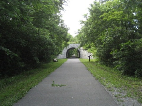
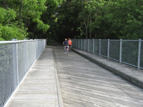
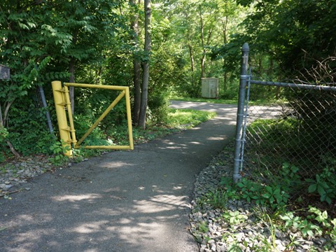
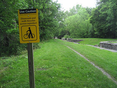
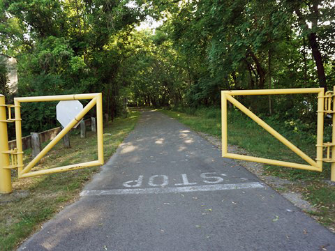
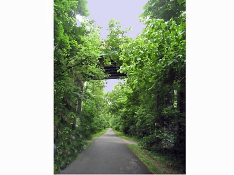
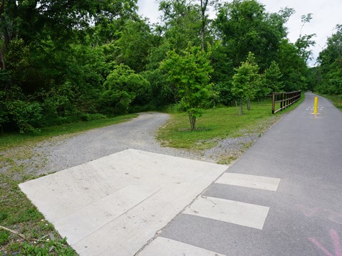
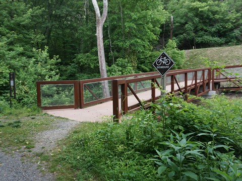
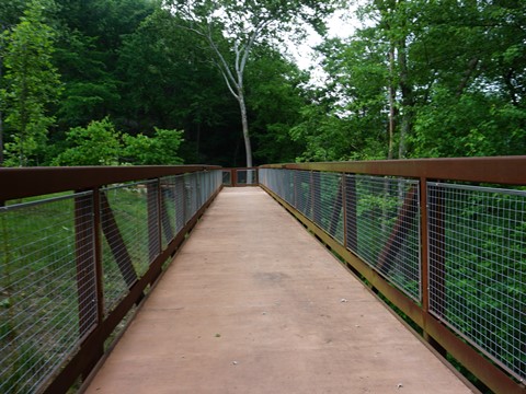
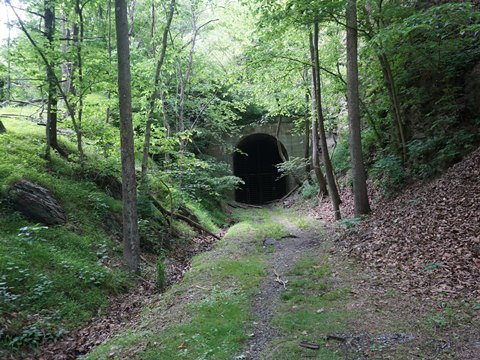
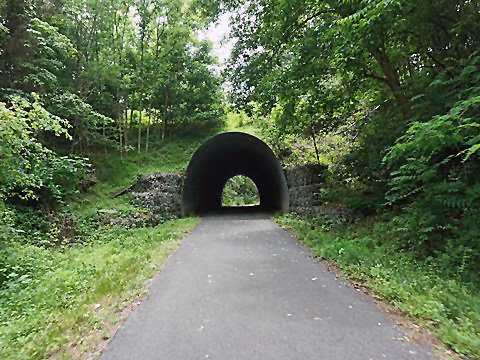
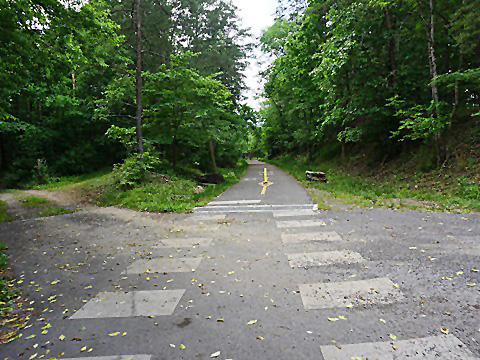
From the trailhead, access to the C&O Canal Towpath is about 1/4 mile, across from Lock 56 Rentals (providing canoes, kayaks, tubing on the Potomac River). Pearre Road branches away and the WMRT again becomes remote with no accesses or trailheads until reaching Little Orleans. A scenic spot is crossing Sideling Hill Creek with a view of the Towpath. The Indigo Tunnel in this section houses a large bat population including several endangered species and is closed to the public. A bridge has been built over the canal, detouring the trail around the tunnel on the C&O Canal Towpath for two miles, the only unpaved section of trail, yet a comfortable ride. This section passes Lock 57 and the Indigo Neck Campground.

Indigo Tunnel Bypass to Little Orleans
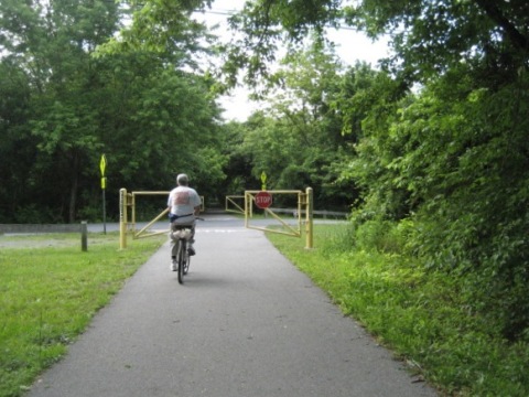
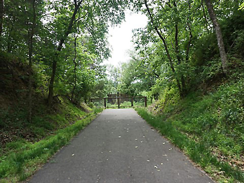
At the end of the bypass, another ramp leads back to the paved trail. The Indigo Tunnel (entrance blocked) can be seen near the end of the bridge via a short path. In about 3/4 mile the trail crosses High Germany Road SE. Continue straight to the Little Orleans Trailhead (parking, porta-pottie), or go left down the hill to the Towpath and river at 15 Mile Campground and Park (parking, restrooms, picnic, camping, boat launch). Road access to the trailhead is off High Germany Road across from Bill's Place (diner, bar, general store).
Little Orleans to Trail End
The trail past Little Orleans includes a couple quiet road crossings, a short tunnel, and rock outcroppings. The Western Maryland Rail Trail ends at an old railroad trestle over the Potomac River into West Virginia. Extending the trail into West Virginia is a possible future project, currently tabled.


More Information and Resources
Nearby Biking:
C&O Canal Towpath
Bike-Maryland - More bike trails
and more information about biking in Maryland
Related Resources:
Maryland Dept. of Natural Resources -
Western Maryland Rail Trail
Support and Advocacy:
Western Maryland Rail Trail Supporters
Friends of Fort Frederick State Park

Copyright © BikeTripper.net. All Rights Reserved. Have Bikes - Will Travel