Bike Tripper
Have Bikes, Will Travel
Bike Trail Maps & Photos Galore
You are here > Home >
Great Smokies >
Roaring Fork
Reported: August 2024
Roaring Fork Motor Nature Trail...
Scenic Drive and Bike Route in Great Smoky Mountains National Park
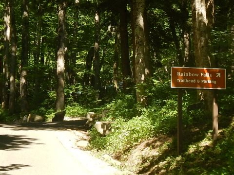
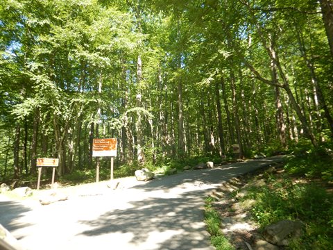
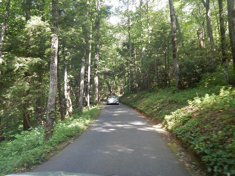
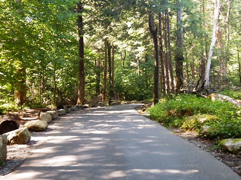
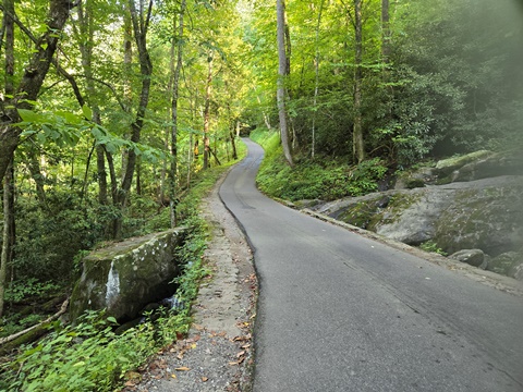
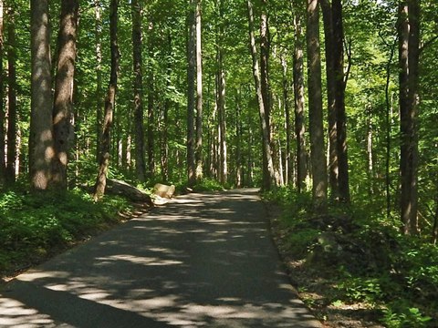
The Roaring Fork Motor Nature Trail is a narrow and winding road following Roaring Fork, a fast-moving mountain stream. Starting in Gatlinburg, the first 2.5 miles is two-way traffic, and the last 5.5 miles is one-way. One of the most popular drives in the Smokies, the route featuress historic buildings, old grist mills, streams, waterfalls, old growth forest, and mountain views. (Detailed map and photos below.)
Location: Great Smoky Mountains National Park,
Tennessee (See map)
Distance: 2.5 miles paved, 5.5 miles unpaved
Surface: Paved and gravel
Trailheads/Parking:
Trailheads, historic sites, overlooks, roadside
Bike Shops/Rentals: N/A
Page Summary:
- Biking at Roaring Fork Motor Nature Trail
- Roaring Fork Motor Nature Trail
- Sights along the Road
- Roaring Fork
- Historic Structures - More Information and Resources
Biking at Roaring Fork Motor Nature Trail... Comments and Photos
The Roaring Fork Motor Nature Trail roadway is bikeable and a great way to view the surroundings up-close, but it's narrow and winding - car traffic can be heavy so be careful. Some hills and grades can be challenging (especially for us Florida bikers). No RV's, trucks or trailers are allowed. There are no visitor centers or facilities. Unlike Cades Cove, there are no car-free days. The road is closed in winter.
Roaring Fork Motor Nature Trail
Features along the trail:
- Historic Sites: Historic buildings including Ogle Place, Alex Cole Cabin and Jim Bales Place, Ephraim Bales Place, Alfred Reagan House and Tub Mill, Ely's Mill.
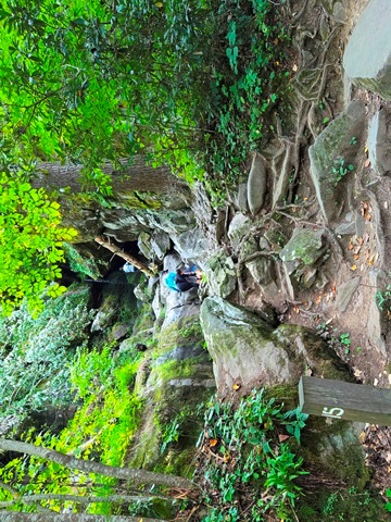
- Waterfalls: Rainbow Falls, Grotto Falls, Baskin Falls, Place of a Thousand Drips
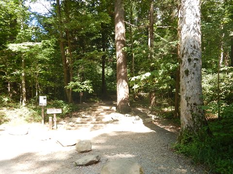
- Hiking: Rainbow Falls Trail, Trillium Gap Trail (to Grotto Falls), Baskins Creek Trail, Graveyard Ridge Trail
Sights along the Road
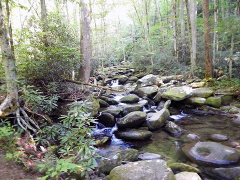
Roaring Fork (30 sec. video)
The "roaring" flow would be more apparent after a heavy rain
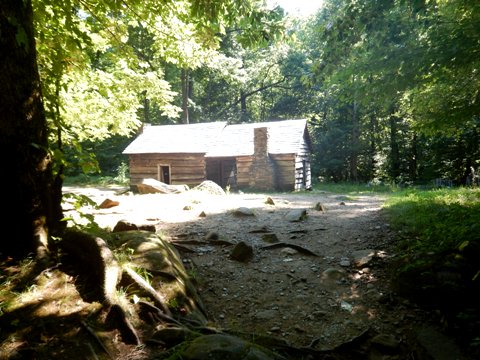
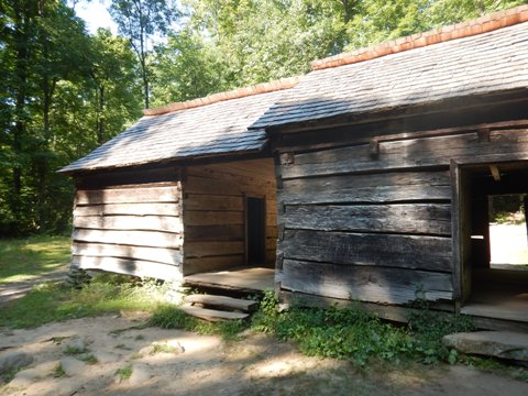
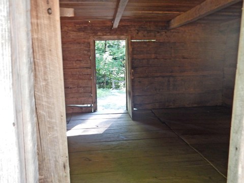
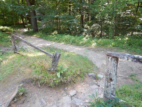
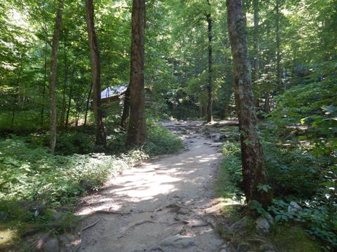
Ephraim Bales Place
Family homestead (home to family with 9 children), barn, corn crib and pig pen. A path (the old road) follows Roaring Fork with scenic views.
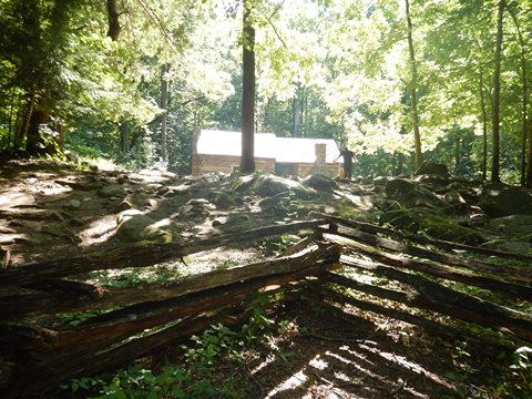
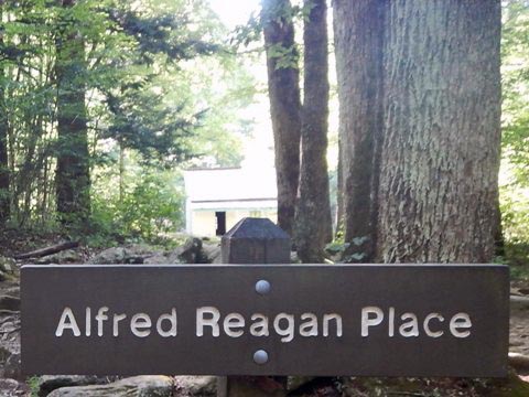
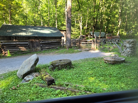
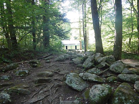
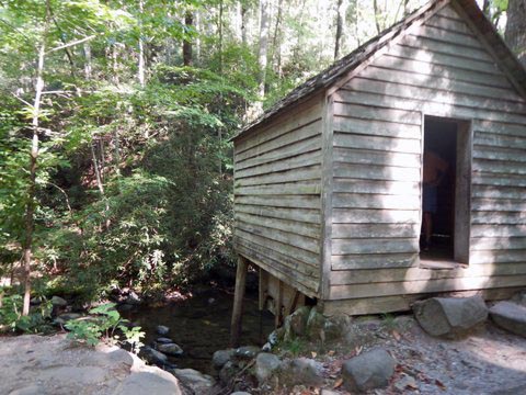
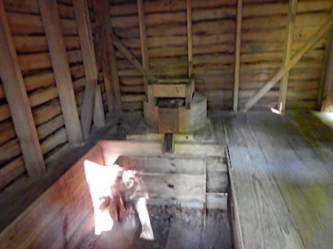
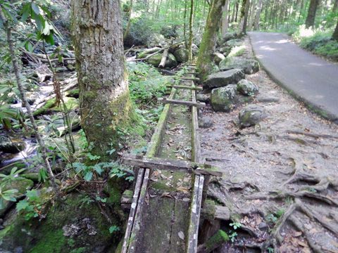
Alfred Reagan House & Tub Mill
House (1890) and tub mill (1900). A tub mill is a smaller version of a grist mill, processng one bushel at a time.
More Information and Resources
Nearby Biking:
Great Smoky Mountains (Overview)
Townsend Historical Trail
Related Resources:
National Park Service - Great Smoky Mountains
National Park 
-
Roaring Fork 
Support and Advocacy:
Friends of the Smokies

Copyright © BikeTripper.net. All Rights Reserved. Have Bikes - Will Travel
