Bike Tripper
Have Bikes, Will Travel
Bike Trail Maps & Photos Galore
You are here > Home >
Great Smokies >
Newfound Gap
Latest update: August 2024
Newfound Gap... Great Smoky Mountains National Park
Scenic Overlook with Appalachian Trail Access
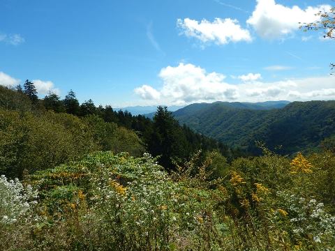
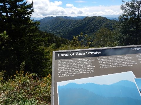
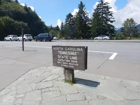
Newfound Gap is the lowest drivable gap through Great Smoky Mountains National Park (5,046 feet). Newfound Gap Road (US 441) is a beautiful drive through the gap. Designated as a National Scenic Highway, it runs 31 miles along the border between Tennessee (Gatlinburg) and North Carolina (Cherokee). A Scenic Overlook is located along the road straddling the state line, with scenic mountain views and also serving as a trailhead for the Appalachian Trail. (Detailed map and photos below.)
Location: Great Smoky Mountains National Park,
North Carolina and Tennessee (See map)
Distance: Overlook located off 31 mile scenic
drive; Appalachian Trail distances as desired
Surface: Paved at parking, unpaved trail
Trailheads/Parking: Trailhead parking (parking
tag  is required when parking longer than 15 minutes at the trailhead).
Shuttles
 are available when parking is full.
Newfound Gap... Comments and Photos
With easy access from Newfound Gap Road and stunning views, this is a popular destination in the Smokies and can get crowded. Newfound Gap Road is open year-round except for winter storms. Due to the altitude, it's cooler than surrounding more low-lying areas. It can also be cloudy and wet, with clouds obscuring the view. We've been fortunate on several visits to have clear days.
Newfound Gap Overlook
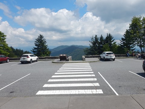
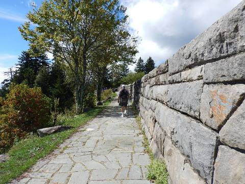
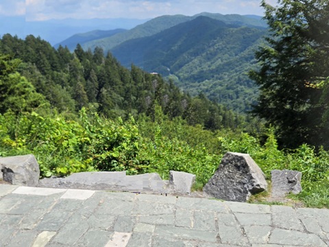
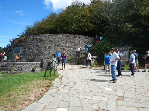
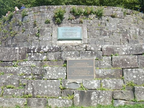
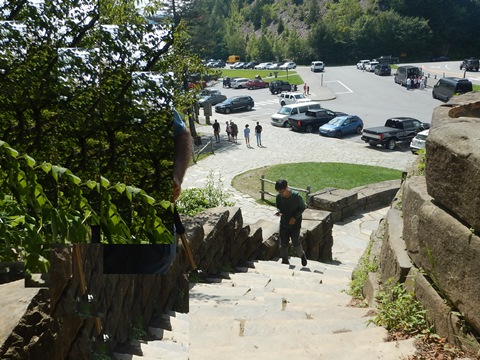
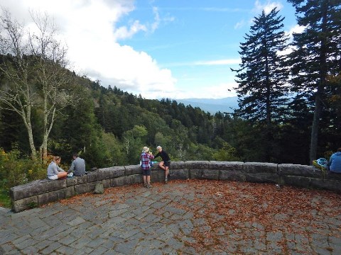
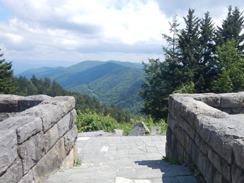
At the Overlook (mile 14.7 along Newfound Gap Road) are parking and restrooms, with scenic views of the park. Parallel to the parking lot, a stone terrace runs on a lower level with unobstructed views and informational markers. The Rockefeller Monument recognizes the contributions of John D. Rockefeller to the park. It's the location where President Franklin D. Roosevelt dedicated the park, Sept. 2, 1940. A flight of stone steps here leads to an upper overlook.
Appalachian Trail
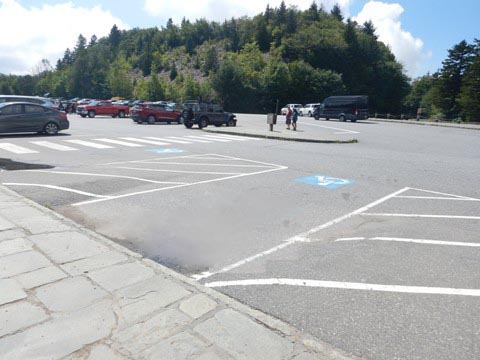
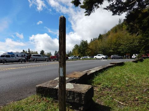
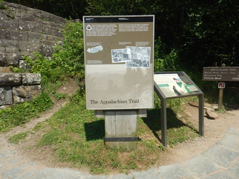
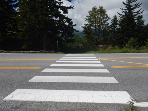
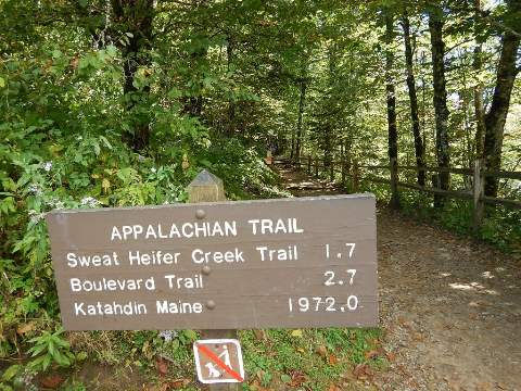
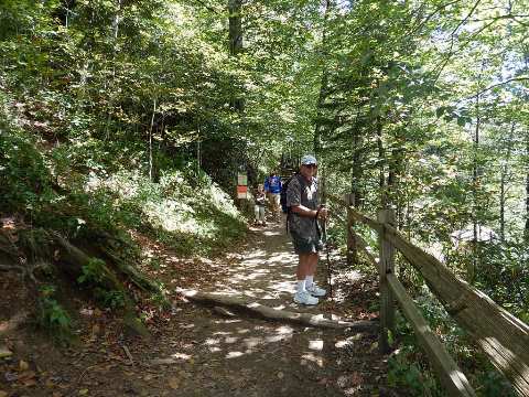
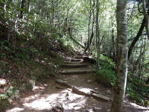
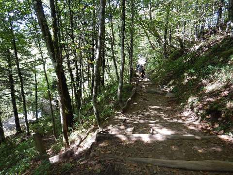
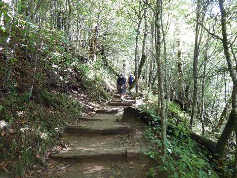
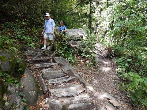
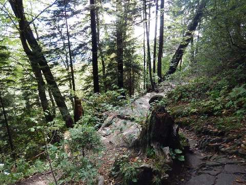
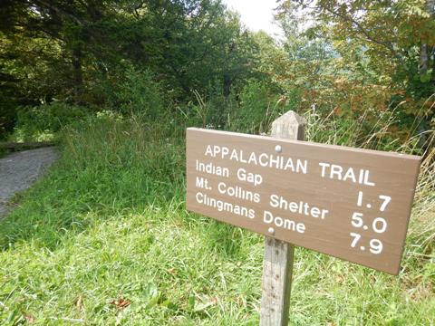
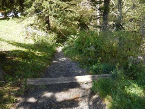
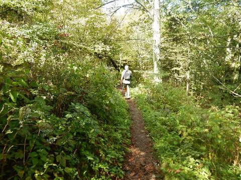
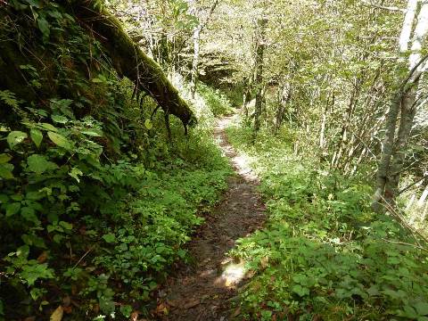
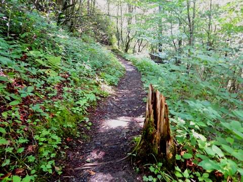
The Newfound Gap Overlook parking area also serves as a trailhead for the Appalachian Trail. Here the trail runs through the parking lot - partly in North Carolina (uphill) and partly in Tennessee (downhill).
At the Trailhead
North Carolina
Tennessee
Some History
In earlier history it was thought that Indian Gap was the lowest pass in the Smokies, with Indian Gap Road serving as north-south route. But later surveys (1872) discovered one that was lower, naming the newly-found pass the Newfound Gap. With growing use of automobiles in the 1920's and then the national park being planned, a new more accessible road between North Carolina and Tennessee was built through Newfound Gap - Newfound Gap Road (US 441). It was built as a New Deal program, providing employment during the Depression.
More Information and Resources
Nearby Biking and Hiking:
Great Smoky Mountains (Overview)
Related Resources:
National Park Service - Great Smoky Mountains
National Park 
-
Newfound
Gap Overlook 
Support and Advocacy:
Friends of the Smokies

Copyright © BikeTripper.net. All Rights Reserved. Have Bikes - Will Travel

