Bike Tripper
Have Bikes, Will Travel
Bike Trail Maps & Photos Galore
You are here > Home >
Great Smokies >
Laurel Falls Trail
Latest update: September 2024
Laurel Falls...
Scenic Waterfall and Trail in the Great Smokies
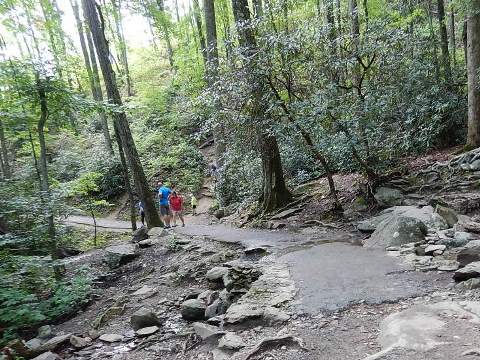
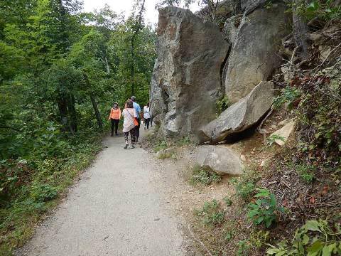
Laurel Falls is a popular destination, reached via the Laurel Falls Trail. The trail offers mountain views and is very scenic, especially during mountain laurel blooming season (May). This is the most visited hiking trail in the park, and can be crowded. (Detailed map and photos below.)
- Note: Laurel Falls Trail will be closed for about 18 months starting the fall of 2024 while improvements are made to enhance the visitor experience and safety, improve parking, and resurface and improve the trail.

Location: Great Smoky Mountains National Park,
Tennessee (See map)
Distance: 2.6 mile RT to the Falls
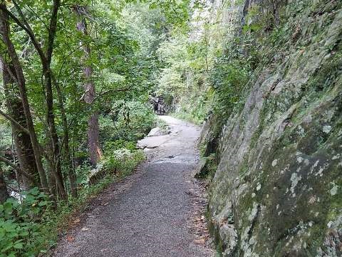
Surface: Paved to the Falls, unpaved beyond
Trailheads/Parking: Laurel
Falls Trailhead (Little River Road)
Laurel Falls and Trail... Comments and Photos
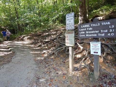
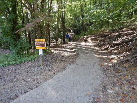
The Laurel Falls Trailhead is along Little River Road, 3.5 miles from the Sugarland Visitor Center. Parking is on either side alongside the road, and is very limited given the high number of users. The nearest facilities and restrooms are at the Sugarlands Visitor Center. Bring water. Bears are often sighted - stay back.
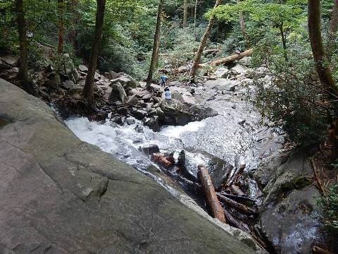
- The trail continues past the Falls another 2.7 miles to the top of Cove Mountain and an old fire tower, but like most visitors we went as far as Laurel Falls and returned.
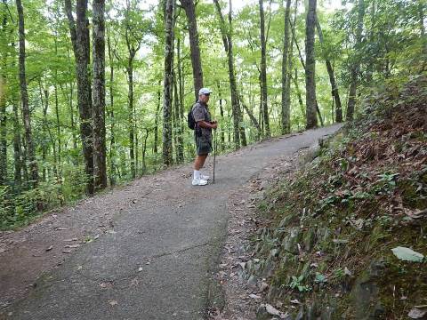
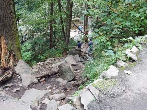
Laurel Falls Trail
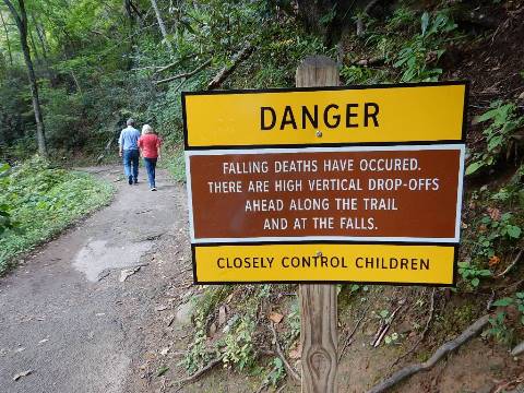
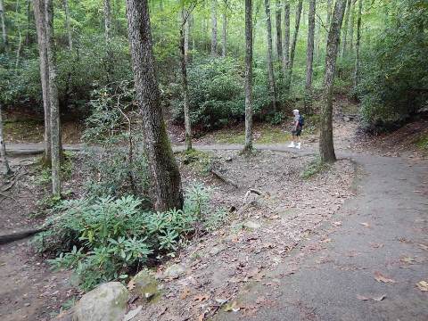
The 2.6 mile (round-trip) paved trail is easy to hike and family-friendly, but could be moderate to others (depending on fitness level) because of the steep uphill climb, 314 feet gain. A good amount of pavement erosion was present, hopefully to be repaired in the construction project. Note the "caution" signs, there are steep dropoffs and the trail can be slippery when wet.

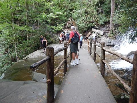
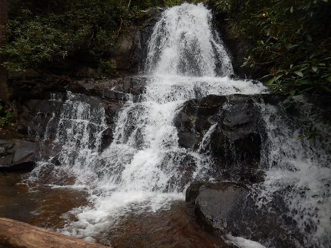
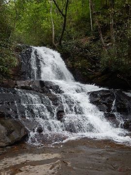
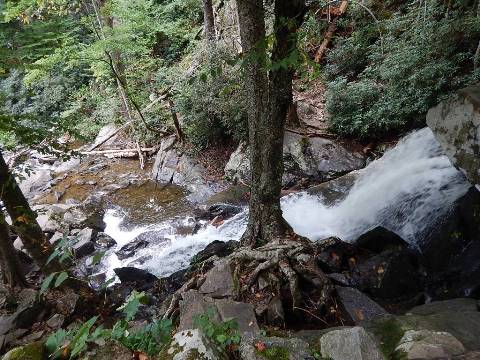
Laurel Falls
The 80-foot waterfall is in two levels - upper and lower - separated by a walkway with great views.
More Information and Resources
Nearby Biking and Hiking:
Great Smoky Mountains (Overview)
Related Resources:
National Park Service - Great Smoky Mountains
National Park 
-
Laurel Falls
Support and Advocacy:
Friends of the Smokies

Copyright © BikeTripper.net. All Rights Reserved. Have Bikes - Will Travel