Bike Tripper
Have Bikes, Will Travel
Bike Trail Maps & Photos Galore
You are here > Home >
Great Smokies >
Cataloochee Valley
Latest update: August 2024
Cataloochee Valley... Bike North Carolina
Secluded Valley Biking in Great Smoky Mountains National Park
Cataloochee consists of three valleys in the southeast area of the Park in North Carolina, a remote area in the Balsam Mountain range. Originally a Cherokee hunting ground, settlers moved in during the 1800's and the settlement grew to became one of the largest in the area (1,200 inhabitants), known for its farms and orchards. The community was dissolved upon creation of the National Park in the 1930's. (Detailed map and photos below.)
Location: Great Smoky Mountains National Park,
North Carolina (See map)
Distance: 6 mile paved road through the valley; 10
mile entry road, partly unpaved
Surface: Paved
Trailheads/Parking:
Caldwell Place, Ranger Station, Valley Overlook
Bike Shops/Rentals: N/A
Page Summary:
- Biking at Cataloochee Valley
- Cataloochee Valley
- Along the Entry Road
- In the Valley
- Historic Sites
- Elk - More Information and Resources
Biking at Cataloochee Valley... Comments and Photos
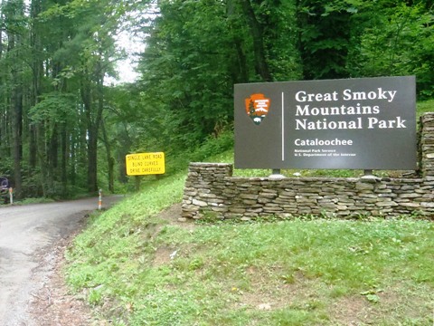
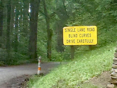
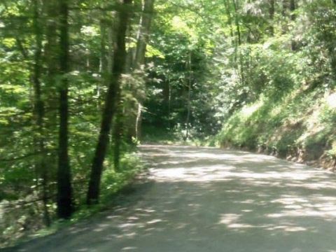
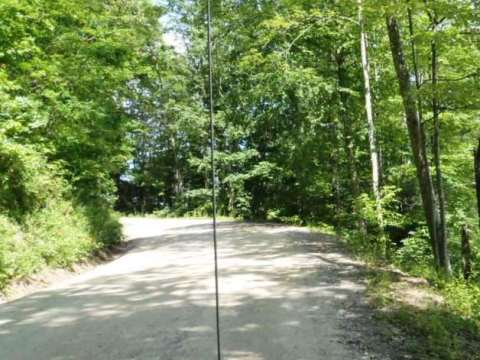
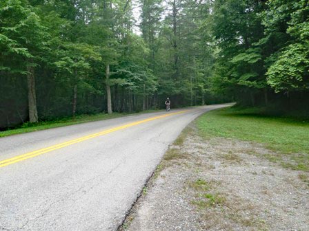
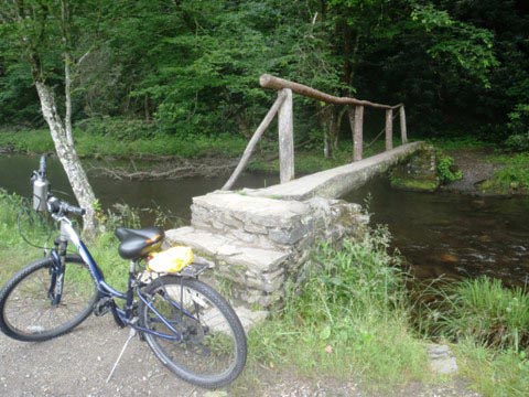
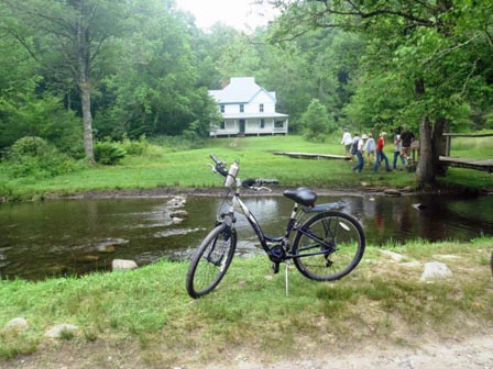
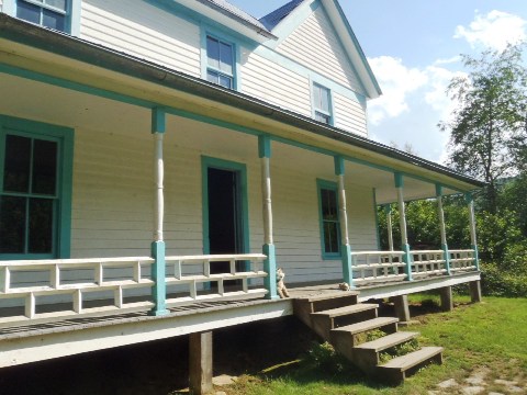
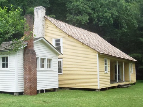
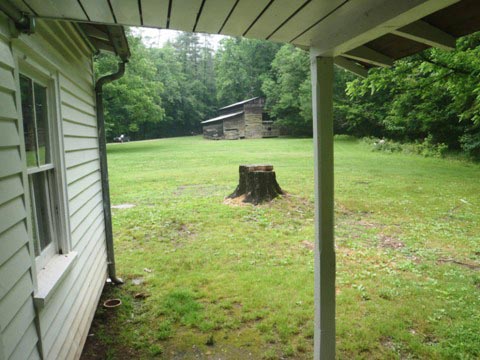
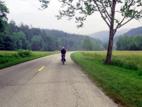
The road in the valley is paved and relatively flat for easy biking, but the gravel Cove Creek Road into the valley is narrow and twisty, with no guard rails. Today, as in Cades Cove, a few historical buildings exist with exhibits that provide a glimpse of life in the valley. Very scenic, with wildlife including elk, black bears, deer, coyotes, and a variety of birds. Other activities include hiking, fishing, camping, and horseback riding. There are no visitor centers or facilities, bring food and water.
Cataloochee Valley
Features at Cataloochee:
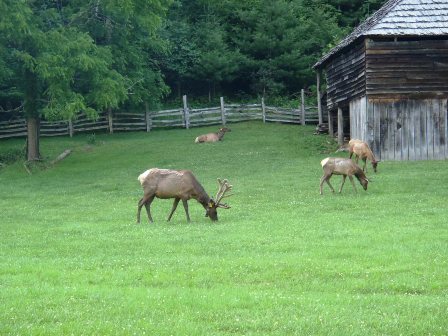
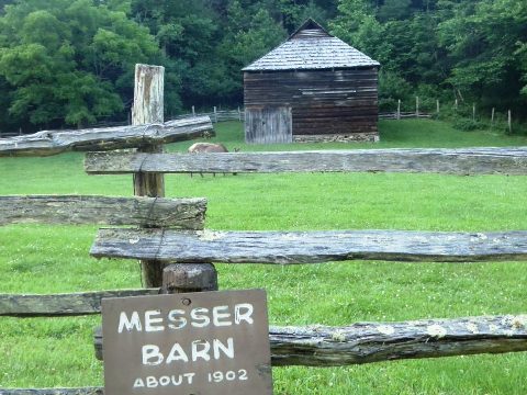
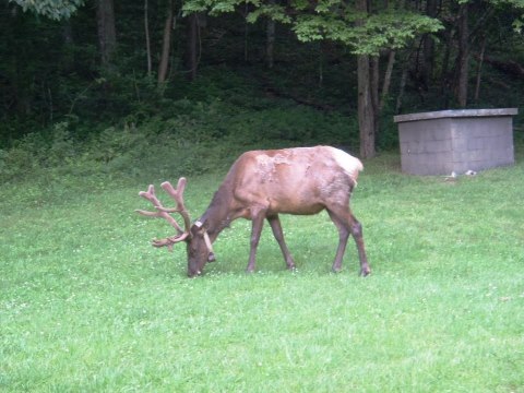
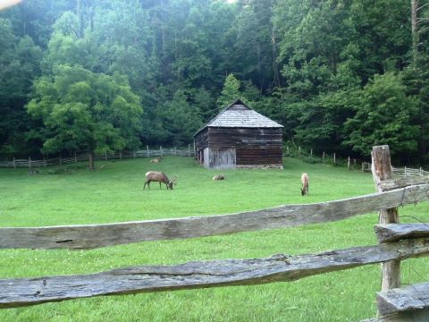
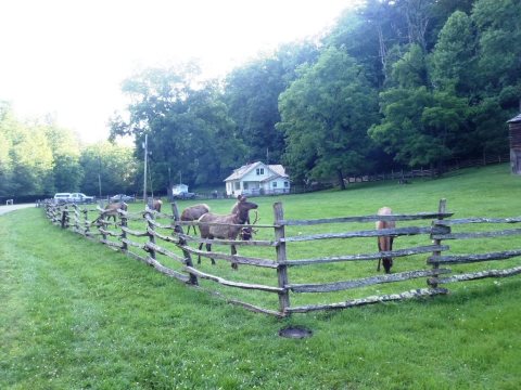
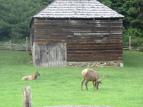
- Elk: Cataloochee is home to one of two elk herds in the Smokies, and elk watching is a popular activity. Viewing is best in the early morning and late afternoon, which is when we saw them when they congregated at the Messer Barn (near the ranger house). After nearing extinction, elk were reintroduced here in 2001.
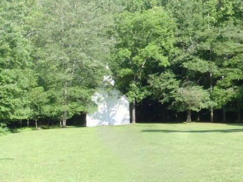
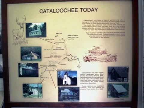
- Historic structures: Campbell House, Beach Grove School, Palmer House, Palmer Church, Messer Barn, Steve Woody House
- Campground: 27 sites, tent and RV
- Hiking Trails: Little Cataloochee Trail, Rough Fork Trail, Boogerman Trail, Pretty Hollow Gap Trail
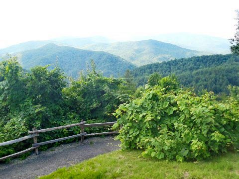
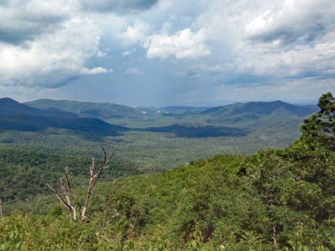
Along the Entry Road
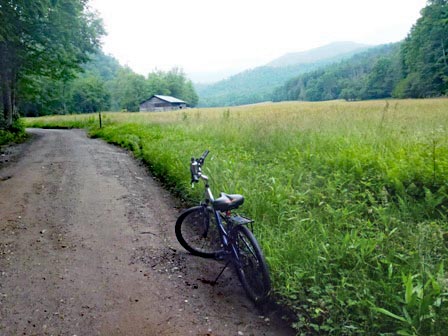
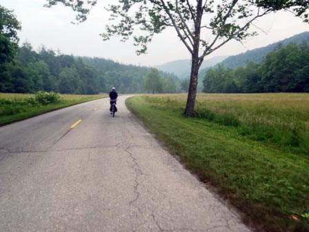
In the Valley
Historic Sites
Elk
More Information and Resources
Nearby Biking:
Great Smoky Mountains (Overview)
Related Resources:
National Park Service - Great Smoky Mountains
National Park 
-
Cataloochee & Balsam Mt. Area 
Support and Advocacy:
Friends of the Smokies

Copyright © BikeTripper.net. All Rights Reserved. Have Bikes - Will Travel
