Bike Tripper
Have Bikes, Will Travel
Bike Trail Maps & Photos Galore
You are here > Home >
North Carolina >
Yadkin River Greenway
Reported: June 2024
Yadkin River Greenway...
Safe, Paved Greenway Biking in North Carolina's High Country
The Yadkin River Greenway covers 8.1-miles in 7 sections in Wilkesboro and North Wilkesboro, NC. We visited as a paved biking option from visiting and hiking along the Blue Ridge, and found it a pleasant ride linking parks and the two towns. Mostly along the Yadkin and Reddies Rivers, it's a nice nature ride as well. (Detailed map and photos below.)
Location: Wilkes County, NC (Wilkesboro, North
Wilkesboro) (See map)
Distance: 8.1 miles in 7 sections (some disconnected)
Surface: Asphalt, gravel
Trailheads/Parking: Smoot Park, Memorial Park,
Reddies River Trailhead, Tyson Trailhead, West Park Fitness Zone
(others, see map)
Nearby Places of Interest: Wilkes Heritage Museum, Blue Ridge Parkway
Bike Shops/Rentals: N/A
Page Summary:
- Biking the Yadkin River Greenway
- Memorial/Smoot Parks (Red) Section
- Memorial Park to Smoot Park
- Memorial Park to Wilkesboro Ave. - Mulberry (Green) Section
- Wilkesboro Ave. to Reddies River Trailhead
- Wilkesboro Ave. to West Park Fitness Zone Trailhead - Some History
- More Information and Resources
Biking the Yadkin River Greenway... Comments and Photos
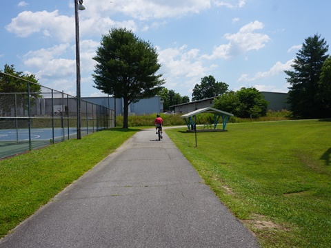
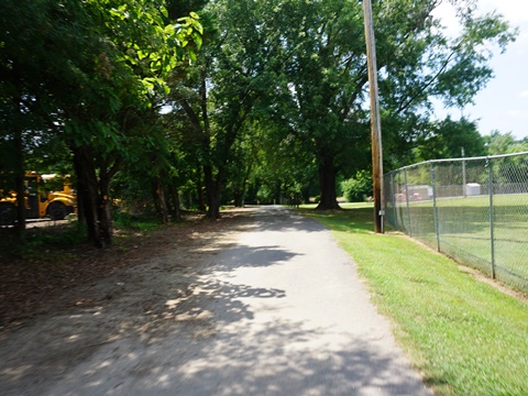
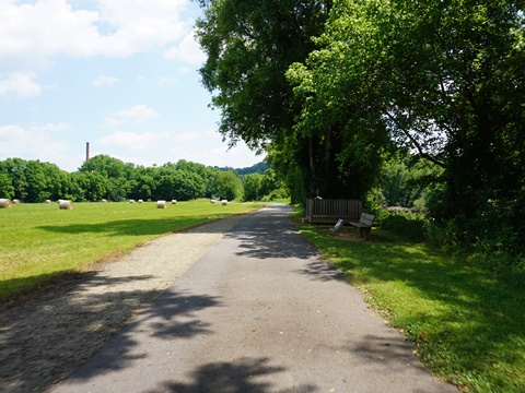
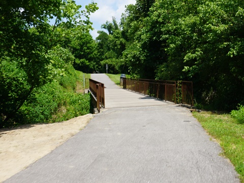
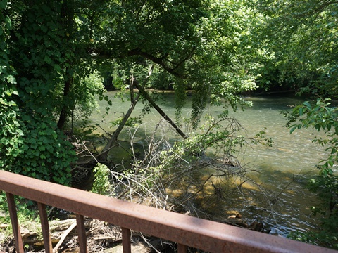
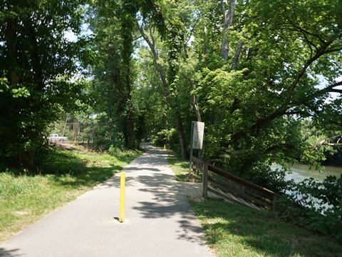
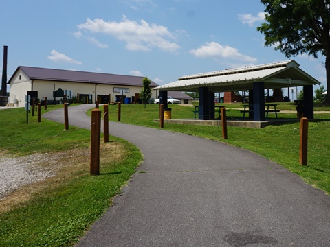
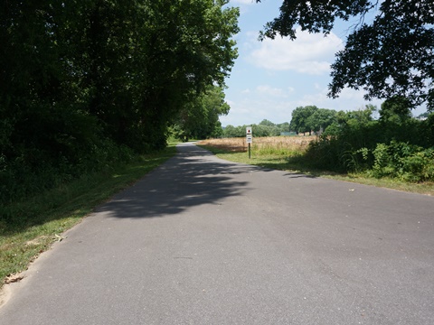
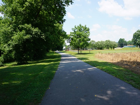
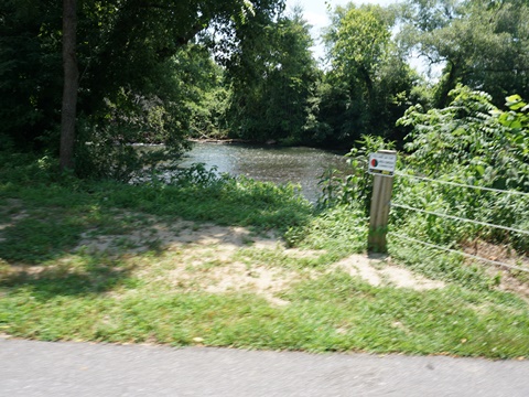
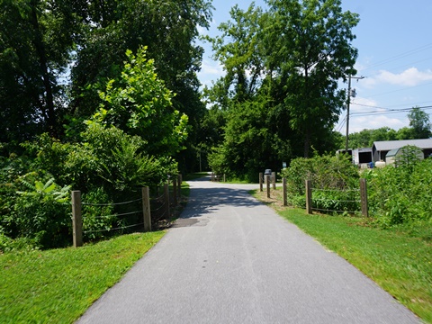
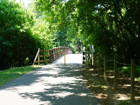
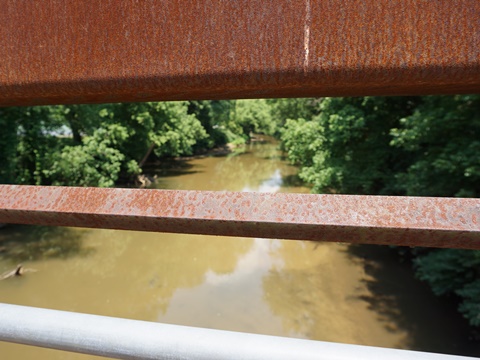
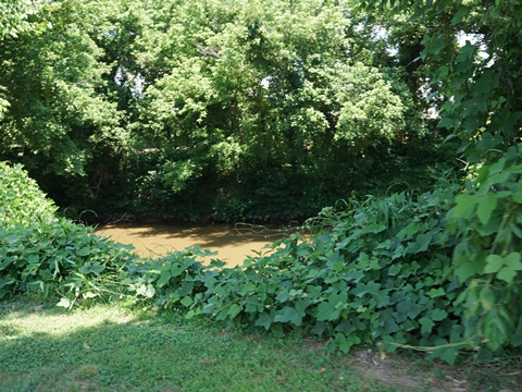
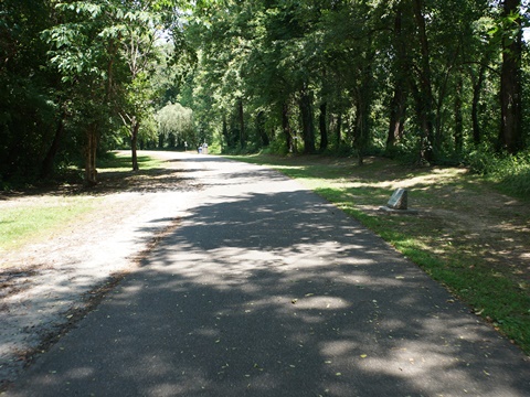
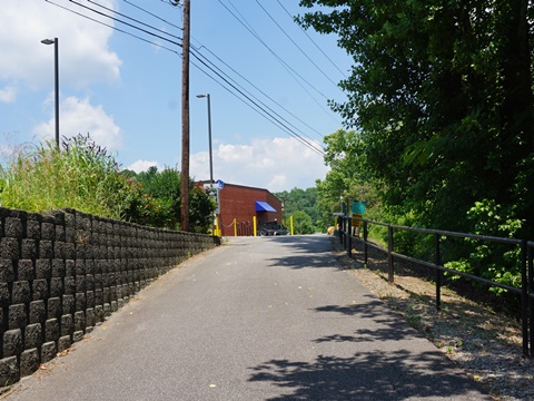
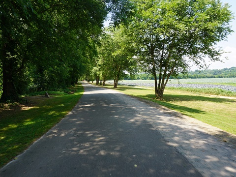
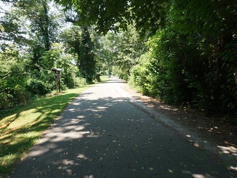
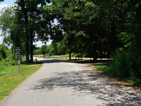
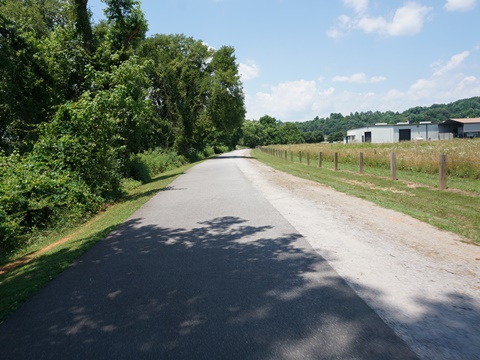
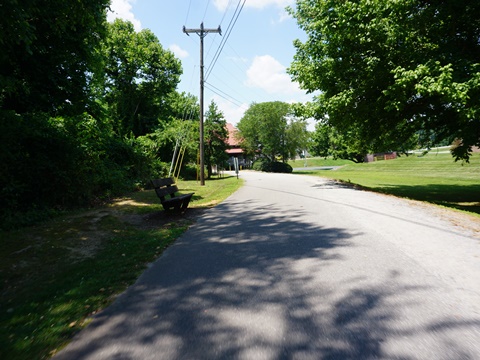
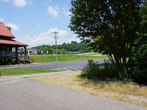
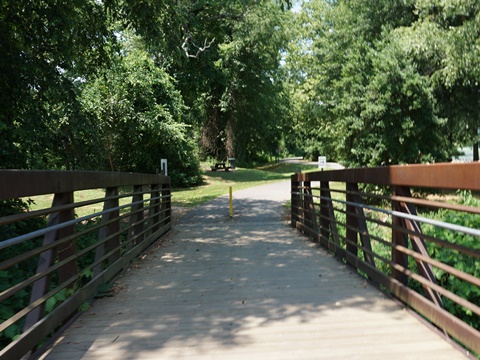
We visited the paved Memorial/Smoot Park (Red) and Mulberry Fields (Green) sections, which are continuous and about 6 miles round-trip, This is an easy, mostly flat ride with scenic views along the Yadkin and Reddies Rivers. There are a few side connectors, and a soft shoulder for running. Benches, directional markers and interpretative/history signs are along the way. Future plans include extending and connecting sections. Note: Parts of the trail in other sections are unpaved, but we did not visit them this trip.
The Greenway's seven sections are 911 color coded for safety:
- River's Edge Park (Blue - 1.95 miles)
- W Kerr Scott/Fish Dam Creek (Brown - 0.54 mile)
- Moravian Creek (Gold - 0.81 mile))
- Mulberry Fields (Green - 1.71 miles)
- Historic Jefferson Turnpike (Orange - 1 mile))
- Memorial/Smoot Parks (Red - 1.16 miles))
- Lowes/Cub Creek (Silver - 0.41 mile)
Memorial/Smoot Parks (Red) Section
Memorial Park to Smoot Park (1.2 miles)
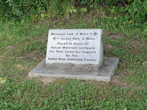
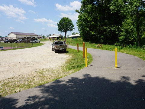
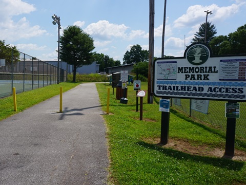
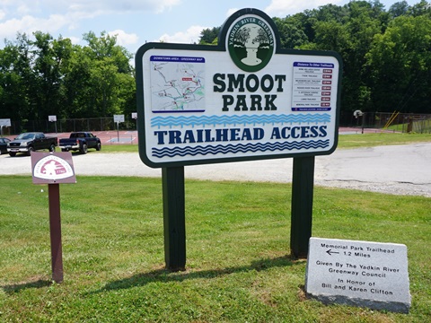
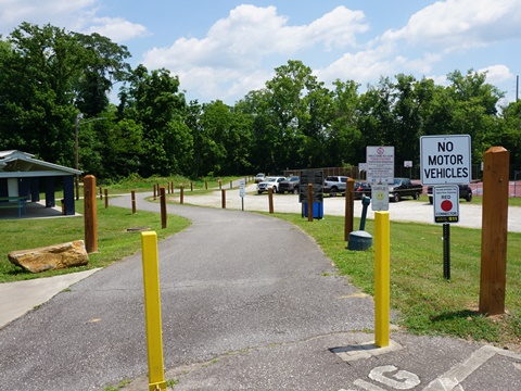
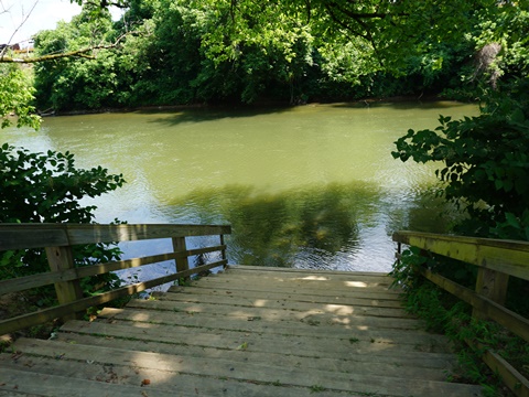
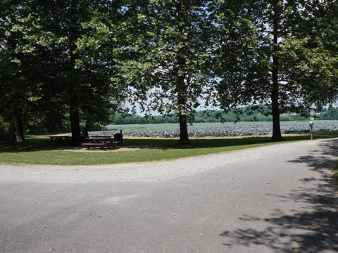
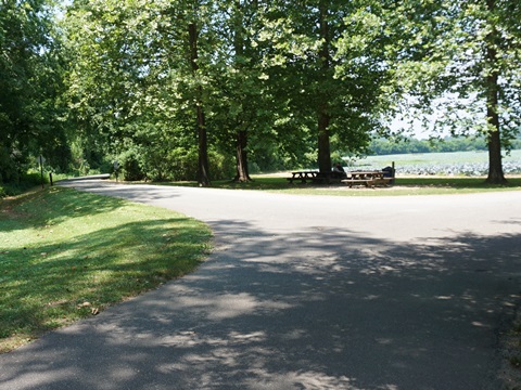
This section connects two parks in North Wilkesboro. Starting in Memorial Park a connector runs to the south, connecting to the Greenway at a "T" - go left to Smoot Park. The trail here runs along the north side of the Yadkin River past fields and through wooded areas.
Memorial Park
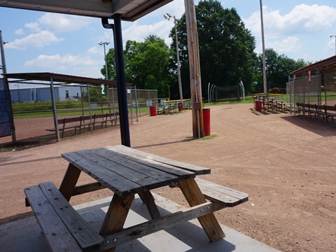
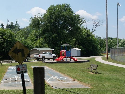
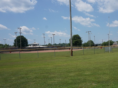
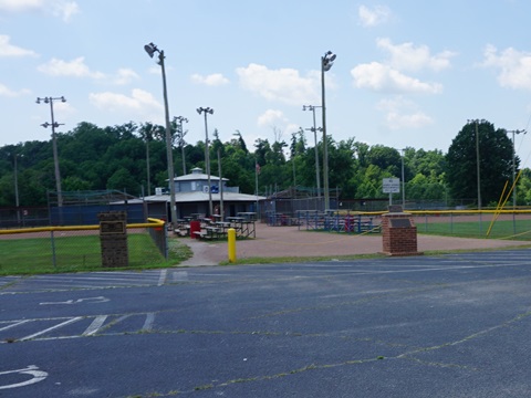
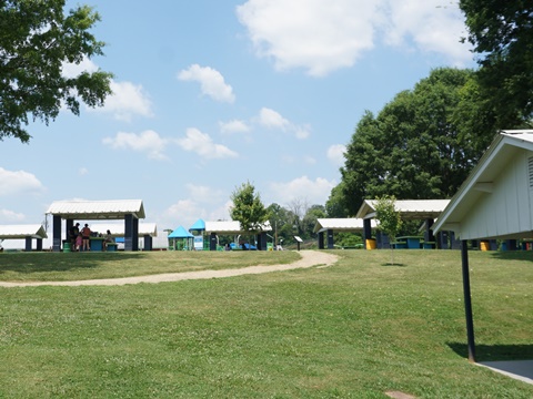
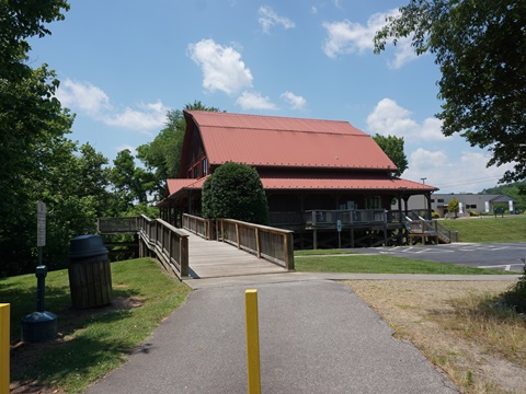
Memorial Park has parking, restrooms, picnic, playground, and multiple playing fields.
Smoot Park
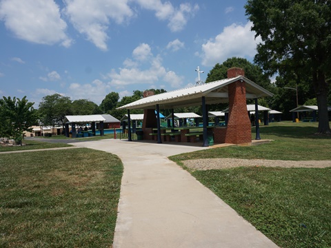
Smoot Park has parking, restrooms, picnic, playground, pool, skateboarding, river access.
Memorial Park to Wilkesboro Ave. (0.5 mile)
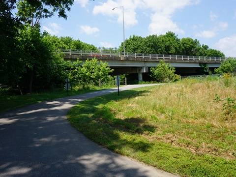
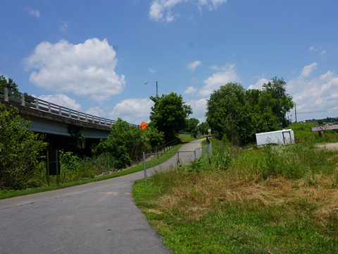
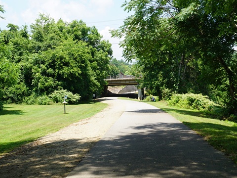
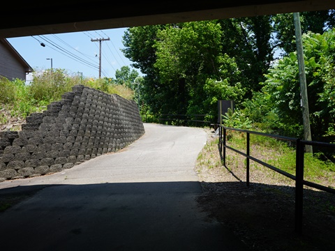
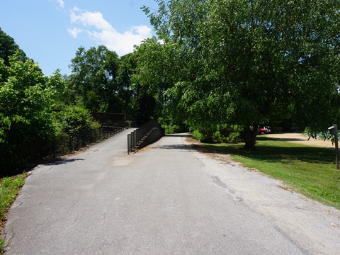
From Memorial Park and turning right at the "T" intersection, this is a connector between the Red and Green trail sections. Continuing along the north side of the Yadkin River, it passes fields, and then a commercial area (with a wide buffer). At the Wilkesboro Ave. bridge, a short side trail goes up to the road level. The Mulberry Fields (Green) trail starts past Wilkesboro Ave. where North Wilkesboro ends and Wilkesboro begins.
Mulberry Fields (Green) Section
Wilkesboro Ave. to Reddies River Trailhead (0.75 mile)
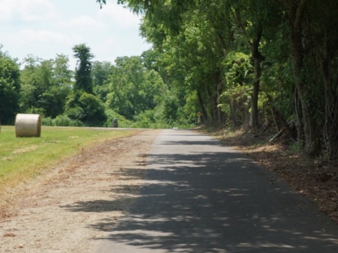
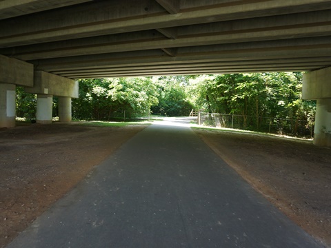
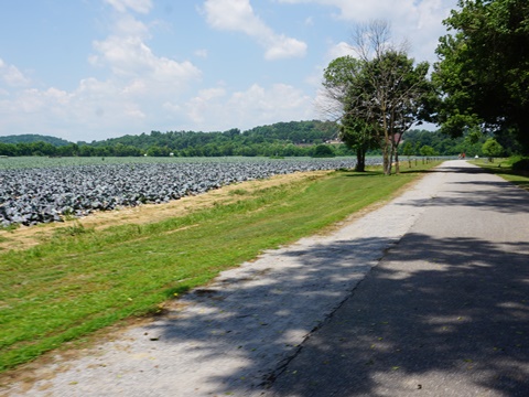
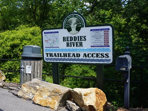
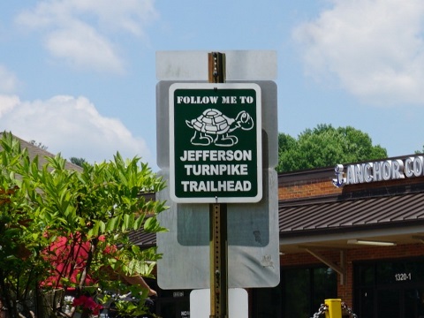
Go under the bridge at Wilkesboro Ave. and cross the Reddies River. The trail splits, turn right to follow the trail north along the Reddies River. It passes a tobacco field, then through a wooded area. The paved trail ends at the Reddies River Trailhead (parking at a shopping center) after passing under D Street. From here, follow a sidewalk route (marked by turtle blazes) across the D St. bridge, leading to the unpaved Historic Jefferson Turnpike (Orange) section.
Wilkesboro Ave. to West Park Fitness Zone Trailhead (0.75 mile)
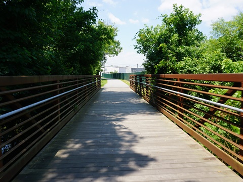
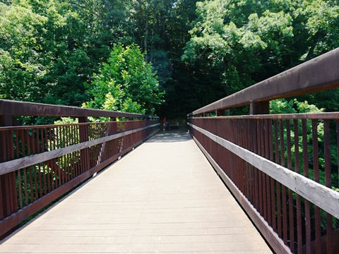
After going under the Wilkesboro Ave. bridge and across the Reddies River, continue straight. The trail runs west along the Yadkin River, continuing past the tobacco field and through a wooded area. In 1/4 mile is a footbridge over the river leading to the Tyson Trailhead. The trail draws alongside Willow Lane and a small parking area, then enters a commercial area. It ends at the West Park Fitness Zone Trailhead with parking, restrooms, fix-it station, and outdoor fitness equipment.
Some History
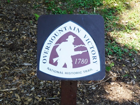
- The greenway route is part of the Overmountain Victory Historic Trail (OVHT) commemorating the historic march of patriotic militia and 1780 defeat of the British at the Battle of Kings Mountain. The OVHT blaze marks the way. Smoots Park is site of the encampment.
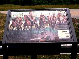
- "Keowee" is the Cherokee word for "mulberry fields", and Mulberry Fields was adopted by early European settlers in the 1750's due to the many mulberry fields. Mulberry Fields played a prominent role in the Revolutionary War, but it was renamed Wilkesboro when the town was laid out in 1800 as county seat of Wilkes County. The Downtown Wilkesboro Historic District and many other local sites are listed on the National Register of Historic Places.
More Information and Resources
More Biking:
North Carolina's High
Country
- Boone Greenway
- Lenoir Greenway
- Yadkin River Greenway
Bike-North Carolina - More bike trails and information about biking in North Carolina
Related Resources:
Town of Wilkesboro - Yadkin River Greenway 
Town of North Wilkesboro - Yadkin River Greenway 
Yadkin River Greenway Council - Yadkin River Greenway 
Support and Advocacy:
Yadkin
River Greenway Council 
BikeWalk NC 
Copyright © BikeTripper.net. All Rights Reserved. Have Bikes - Will Travel
