Bike Tripper
Have Bikes, Will Travel
Bike Trail Maps & Photos Galore
You are here > Home >
North Carolina >
Lenoir Greenway
Reported: June 2024
Lenoir Greenway...
Safe, Paved Biking in North Carolina's High Country
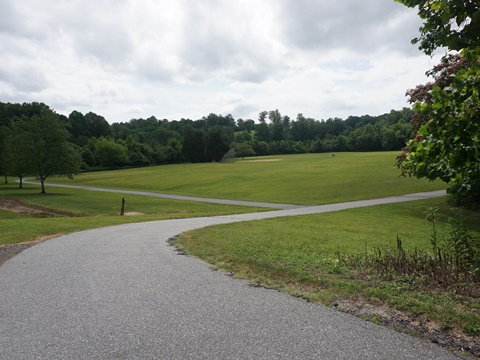
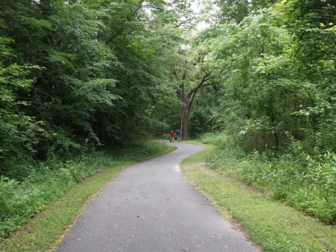
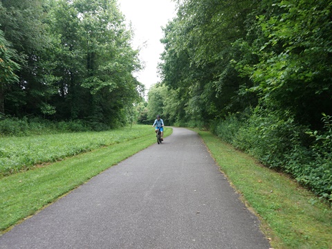
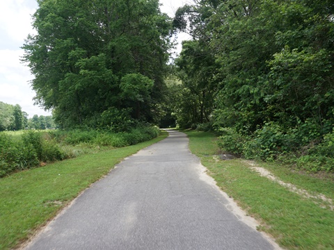
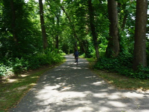
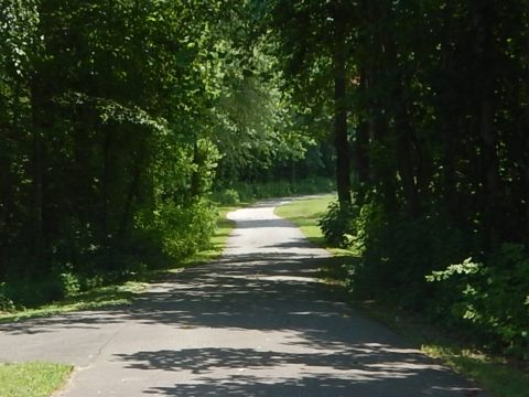
The Lenoir Greenway winds through the City of Lenoir in a "Y" shape. The trail is safe off-road, popular for biking, walking and running. It connects parks, recreational facilities, schools, residential areas, and the library, and runs through wooded areas paralleling Zacks Fork Creek. The main greenway is about 7 miles including loops and connectors; with some disconnected sections, the total is 9 miles. New construction is ongoing and more planned. A 3-mile mountain biking course is at the north. (Detailed map and photos below.
Location: Lenoir, Caldwell County, NC (See map)
Distance: 7 miles (more in disconnected sections)
Surface: Asphalt
Trailheads/Parking: Zacks Fork Rd. (soccer complex), Wilson
Athletic Park, Pennell St. (United Presbyterian Church), Caldwell County Public
Library, Powell Rd., Sherlee Rd.
Nearby Places of interest: Fort Defiance, Edgar Allen Poe
House
Bike Shops/Rentals:
Lightning Cycles  (Hickory, NC;
rentals, sales, service)
Carolina Pedal Works  (Hickory, NC;
sales, service, cafe)
Biking the Lenoir Greenway... Comments and Photos
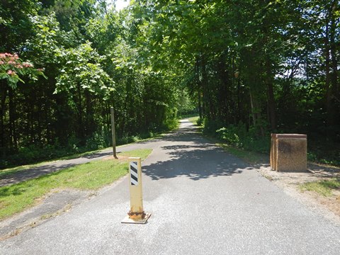
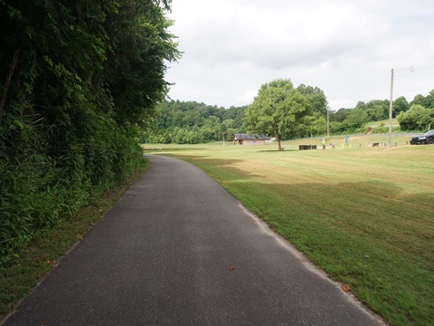
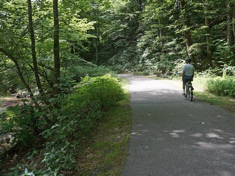
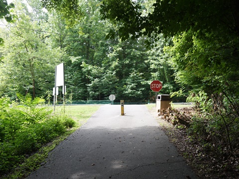
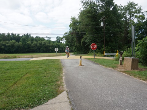
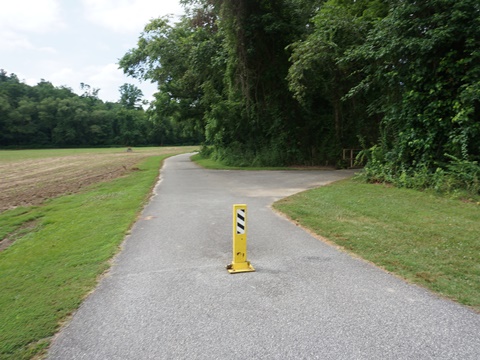
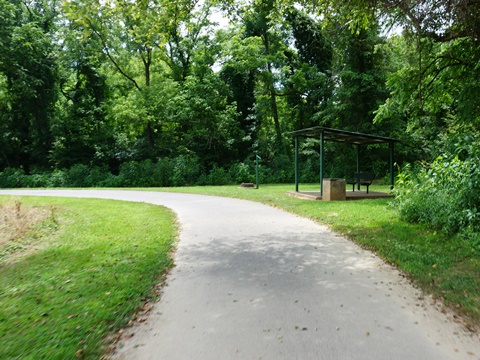
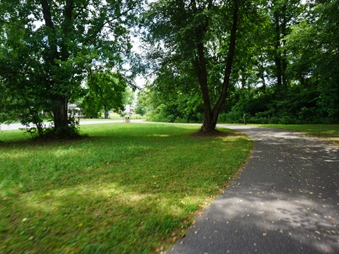
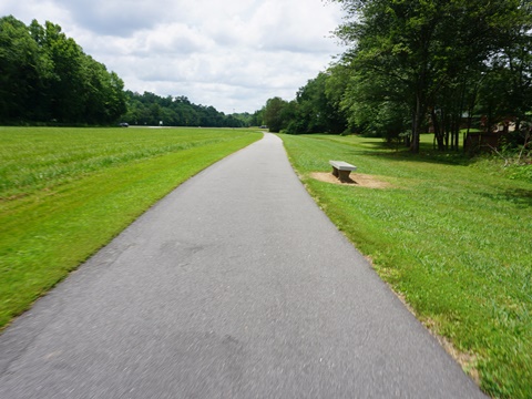
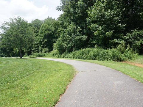
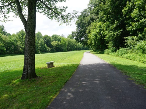
This is not a "destination" trail, but a nice local amenity in a growing trail system and a pleasant recreational diversion from Blue Ridge mountain biking and hiking. The paved trail is easy to ride, with some gentle grades and just a few crossroads. Benches and picnic tables are available along the route. We visited the main trait along its 3 legs: (1) starting from Zacks Fork Rd. to Pennell St., (2) from Pennell St. to trail end at the south, and (3) from Pennell St. to end of trail at the east. (Note: the distances shown are point to point, and don't include loops and connectors.)
From Zacks Fork Rd. to Pennell St. (2 miles)
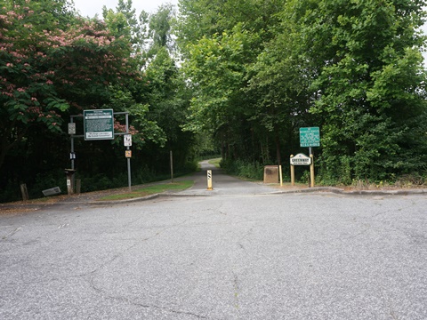
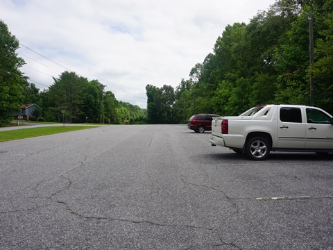
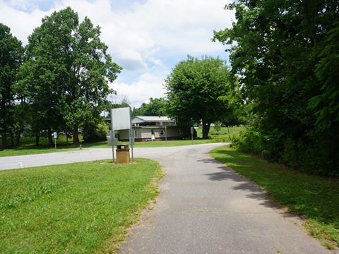
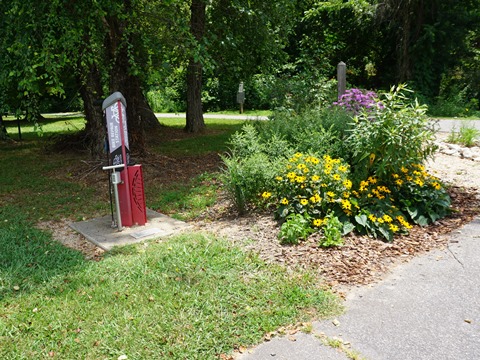
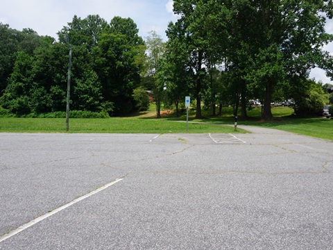
- The parking area at Zacks Fork Rd. (parking, fix-it station) also provides access to the 3-mile Zacks Fork Mountain Biking Trails system. More parking and restrooms are at the adjacent Lenoir Soccer Complex.
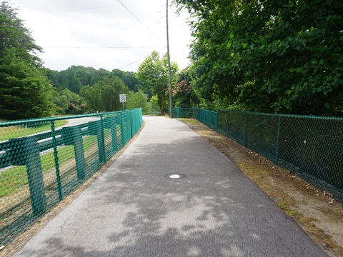
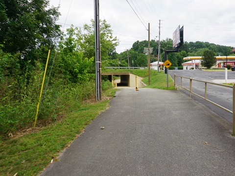
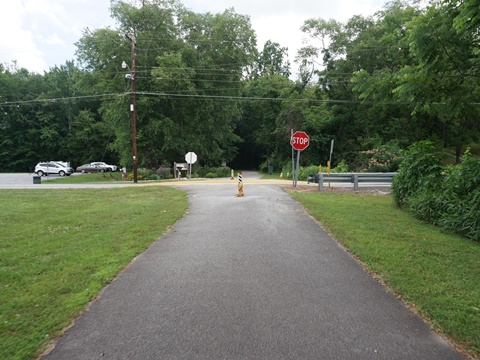
- At Powell Road is an access road to the Lenoir Aquatic & Fitness Center, then the trail runs alongside the road - separated by a guardrail - for about 800 ft.
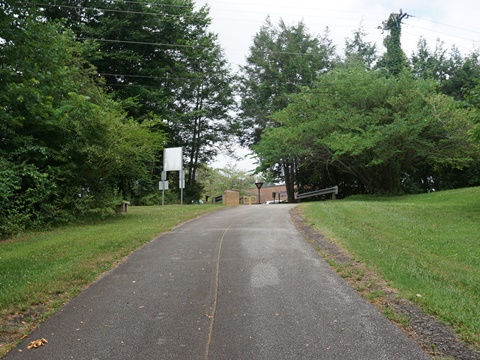
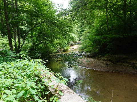
- At T. Henry Wilson Athletic Park are parking, restrooms, and a 1/2 mile loop trail. The greenway trail then continues through woods along the creek until emerging near Pennell Rd., with trail parking available at United Presbyterian Church.
From Pennell St. to Westbrook St. (trail end, south) (1 mile)
After crossing Pennell St. the trail splits. The branch to the right continues to trail end at Westbrook St., and the branch straight turns east to trail end at Sherrod St. access.
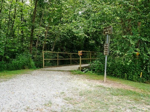
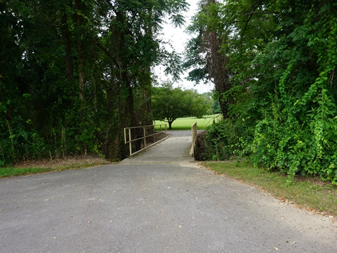
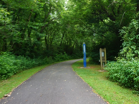
- Branching to the right, the trail crosses Zacks Fork Creek, then continues south along the creek through a wooded area.
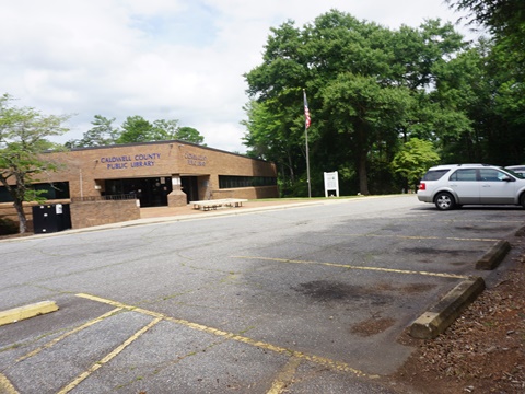
- In 1/4 mile is a 2/10 mile link to the Caldwell County Public Library where parking is available.
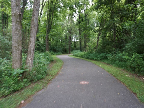
- The trail continues through woods along the river, then emerges at a commercial area, where it runs under US 321 (Blowing Rock Rd.)
- The trail ends in 200 feet at Westbrook St., pending future extension.
From Pennell Rd. to Sherlee Rd. Access (trail end, east) (1.2 miles)
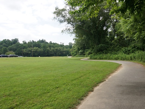
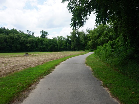
- The trail continues south from Pennell Rd., then turns eastward past some fields, crossing Powell Rd. in 1/2 mile.
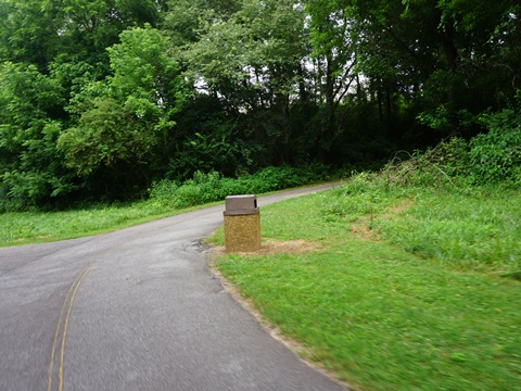
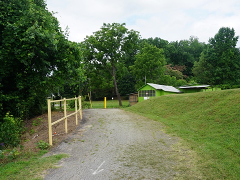
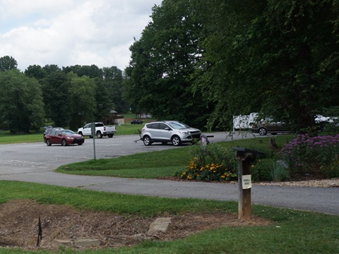
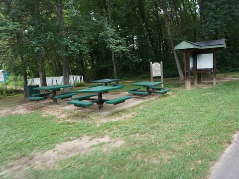
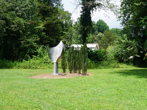
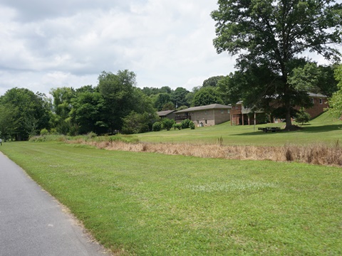
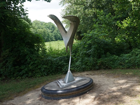
- The trailhead at Powell St. has parking, a fix-it station, picnicking, and a community garden. A loop circles the park area here, past a residential neighborhood, with benches and trail art (part of the Caldwell County Sculpture Trail).
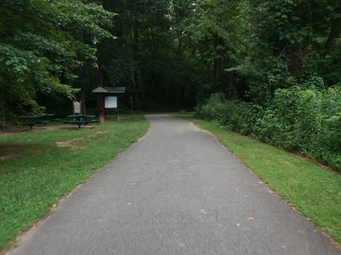
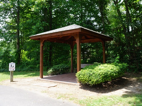
- Continuing east is the Sherlee Rd. access trailhead, and another 1/2 mile loop, with covered benches and more trail art.
- The trail crosses Sherlee St. and ends at Severt Circle, pending future construction.
Pennell St. to Sherlee Access
Powell Rd. Trailhead, Loop
Sherrod St. Trailhead - Loop
More Information and Resources
More Biking:
North Carolina's High
Country
- Boone Greenway
- Lenoir Greenway
- Yadkin River Greenway
Bike-North Carolina - More bike trails and information about biking in North Carolina
Related Resources:
City of Lenoir - Lenoir Greenway 
Support and Advocacy:
BikeWalk NC 
Copyright © BikeTripper.net. All Rights Reserved. Have Bikes - Will Travel
