Bike Tripper
Have Bikes, Will Travel
Bike Trail Maps & Photos Galore
You are here >
Home >
North Carolina >
Boone Greenway
Reported: June 2024
Boone Greenway...
Safe, Paved Biking in North Carolina's High Country
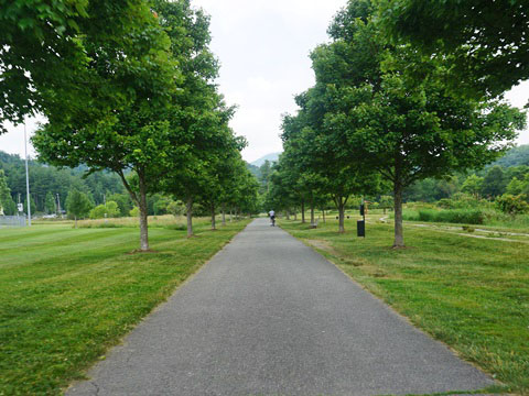
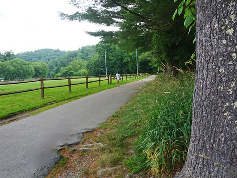
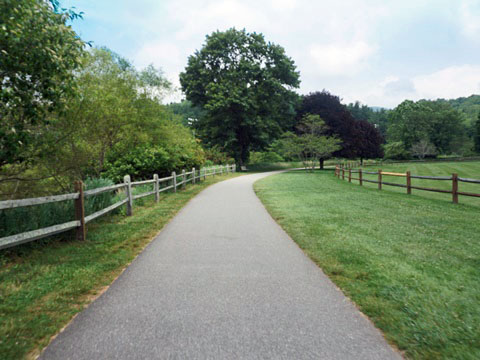
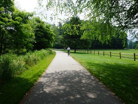
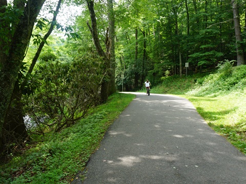
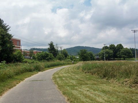
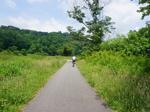
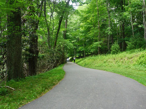
The Boone Greenway runs for almost 5 miles through Boone, NC, along and crossing the South Fork of the New River. Popular for biking, walking, and running, the trail is paved and mostly flat, with benches, picnic tables, and interpretative signs. This is a nice amenity for Boone locals and students, and a pleasant paved trail option for recreational biking when visiting the Blue Ridge. Incorporated in 1872 and named for Daniel Boone, Boone is a popular Blue Ridge destination with hotels, mountain cabins, restaurants, shopping, art galleries, historic sites, myriad events and outdoor activities. (Detailed map and photos below.)
Location: Boone, Watauga County, NC (See map)
Distance: 5 miles
Surface: Asphalt
Trailheads/Parking: Clawson-Burnley Park, Watauga
Community Recreation Center, Casey Lane, Deerfield Road
Nearby Places of Interest: Appalachian State University,
Tweetsie Railroad
Bike Shops/Rentals:
Boone
Bike  (sales, service)
Magic Cycles  (rentals, sales, service)
Page Summary:
- Biking the Boone Greenway
- Clawson-Burnley Park to Casey Lane
- Clawson-Burnley Park
- Clawson-Burnley Park to Casey Lane Trailhead - Clawson-Burnley Park to State Farm Road
- Depot to Trail End - South Fork New River Greenway
- More Information and Resources
Biking the Boone Greenway... Comments and Photos
The "core" trail runs from Casey Lane to the Southport Shopping Center, about 3 miles. With loops and connectors, the total is almost 5 miles. We visited the core trail, starting from Clayton-Burnley Park as a central point for visiting the trail. We discovered different characteristics in each direction: To the north, more wooded and rural, and to the south, more urban, running through Boone.
Clawson-Burnley Park to Casey Lane - 2 miles
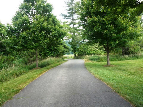
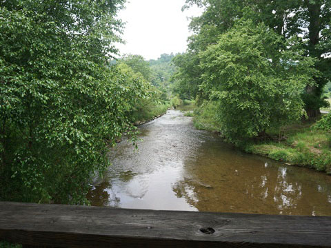
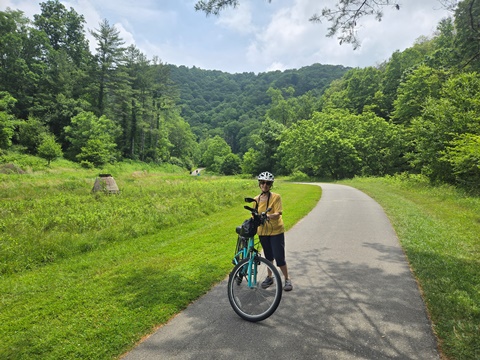
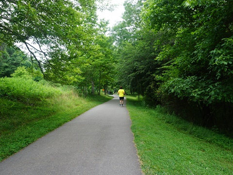
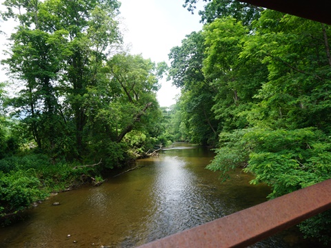
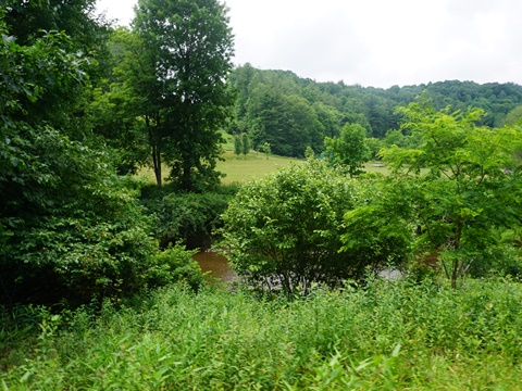
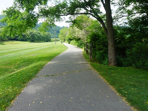
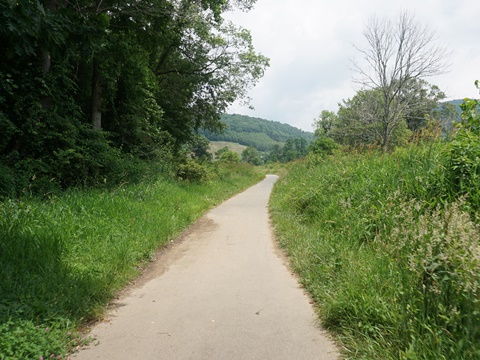
This is the more rural part of the Greenway. As it follows the river, it's easy to forget this is Boone, with sections running through forests, past fields and meadows.
Clawson-Burnley Park
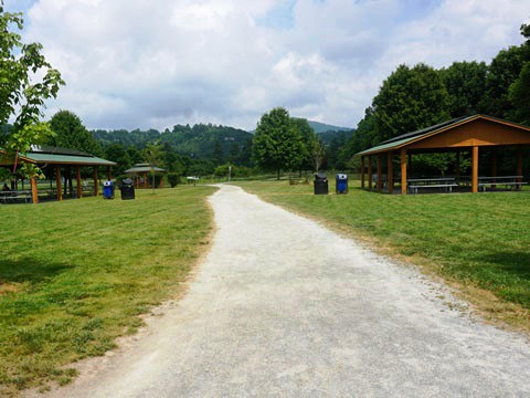
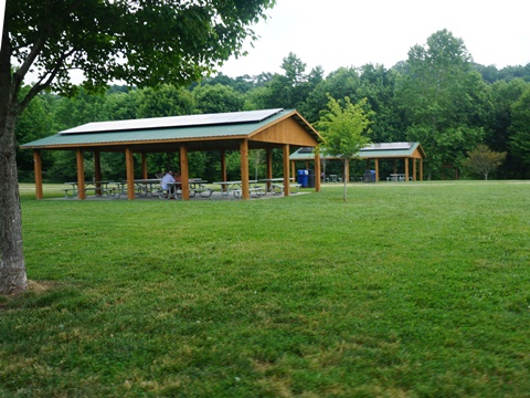
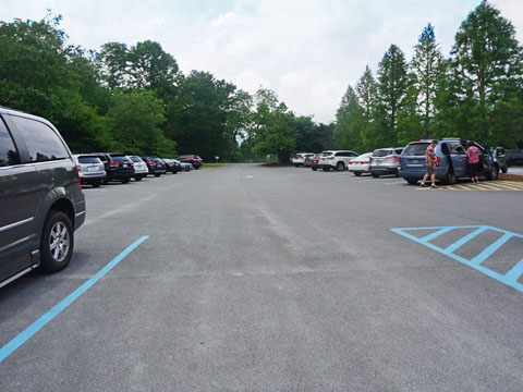
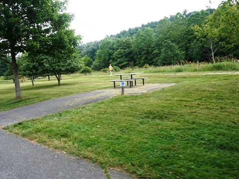
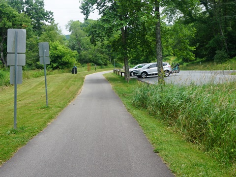
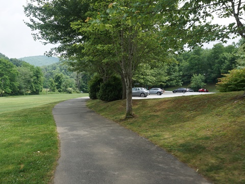
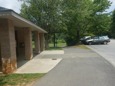
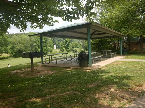
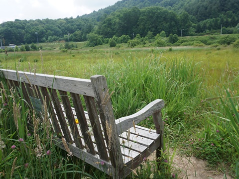
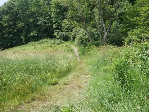
- Clawson-Burnley Park has parking, porta-potties, picnic shelters and tables, benches, and educational signs. The gravel path runs around the Clawson Burnley Wetlands, a manmade wetlands for filtering runoff water before it flows into the river.
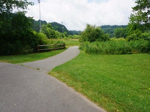
- Leaving the park northbound is a T-intersection - go right to continue on the trail, or go left onto the connector to the Watauga County Recreation Center (parking, restrooms, picnic tables, Rec Center and playing fields).
Clawson-Burnley Park to Casey Lane Trailhead
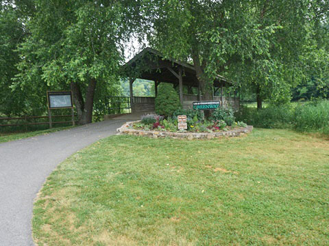
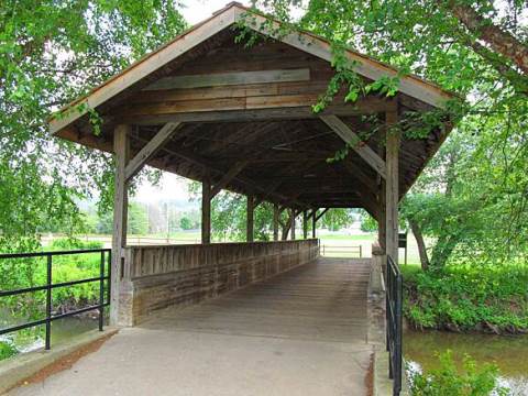
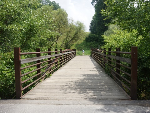
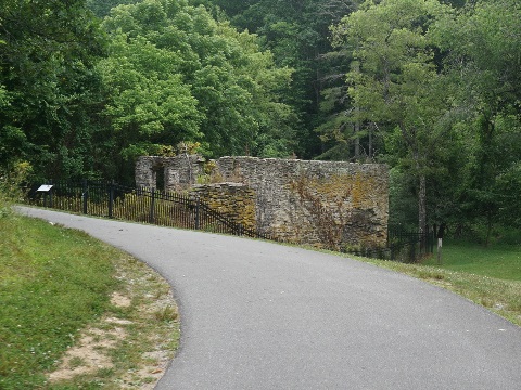
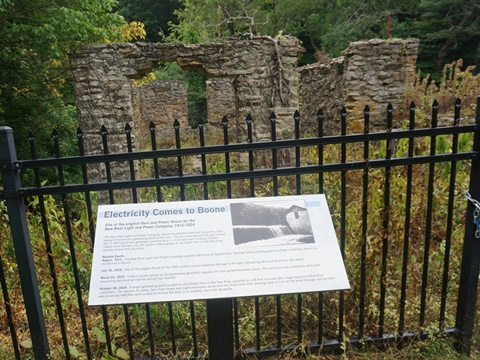
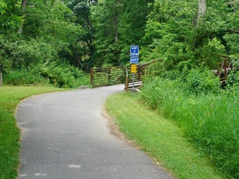
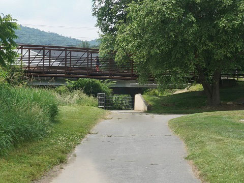
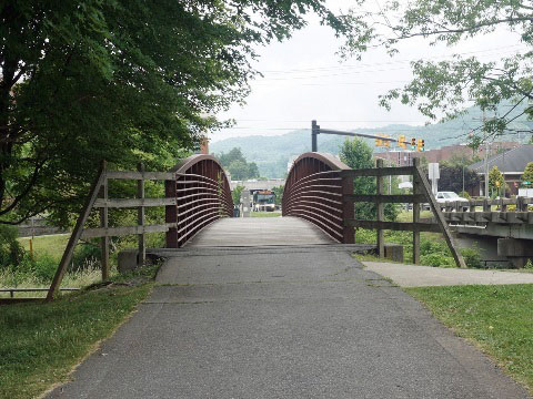
- This a very scenic section along the river with 3 bridges. From the covered bridge at Clawson-Burnley Park it's about 1.3 miles to the historic dam site and picnic area. The ruins are of the hydroelectric generation station that introduced electricity to Boone (1915-1924).
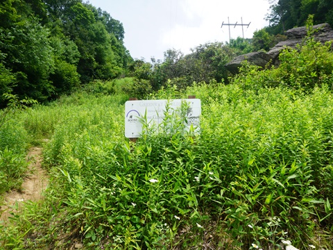
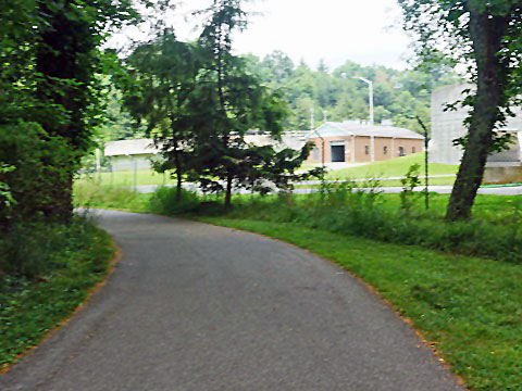
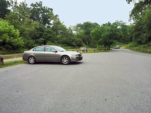
- Just past the dam site, a side trail goes left to Watauga High School (0.6 mile). The main trail goes to the right and continues along the river. A sign on the right ("Boone Climbers Coalition") marks a path leading up to the "Greenway Boulder" for rock-climbing. The trail then passes the water treatment plant (the odor can be strong, depending on wind direction!) and arrives at the Casey Lane Trailhead with parking.
- Continuing from Casey Lane Trailhead is a link to the South Fork New River Greenway (more information below),
Clawson-Burnley Park to Historic Dam
Historic Dam to Casey Lane Trailhead
Clawson-Burnley Park to Southgate Rd. - 1 mile
This section runs along Winkler Creek but becomes more urban, passing playing fields, Appalachian State University facilities, and businesses. It ends in a mile at the Southgate Shopping Center; however, we visited just a short portion here, from Clawson-Burnley Park to State Farm Road, so didn't get into the busier areas.
Clawson-Burnley Park to State Farm Road - 0.5 mile
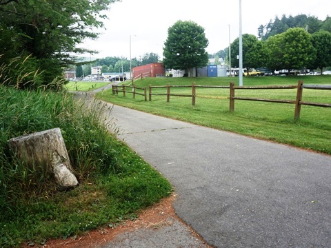
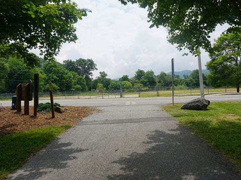
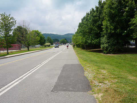
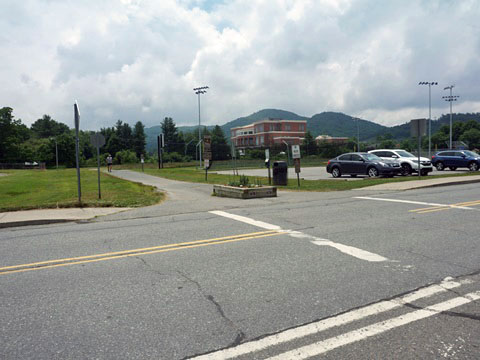
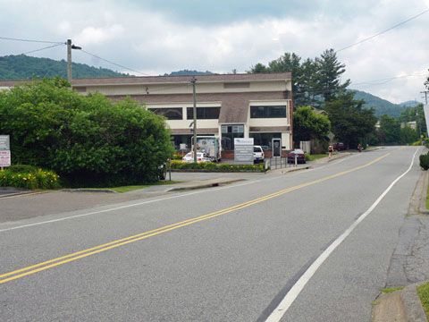
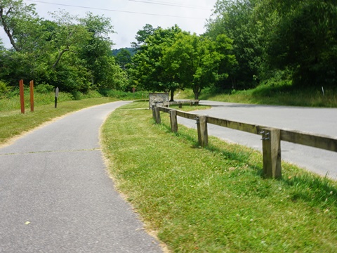
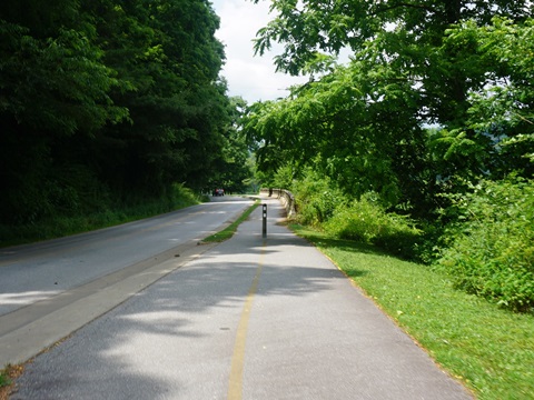
- Leaving Clawson-Burnley Park to the south, the trail runs alongside MLK Jr. St. for 500 feet as a wide bike/pedestrian lane, past playing fields. Cross the road at the National Guard Armory, and the trail meets Winkler Creek.
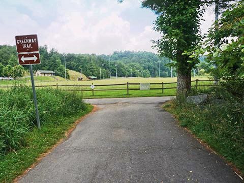
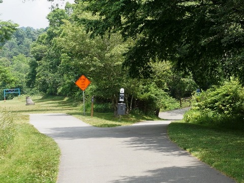
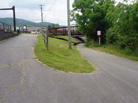
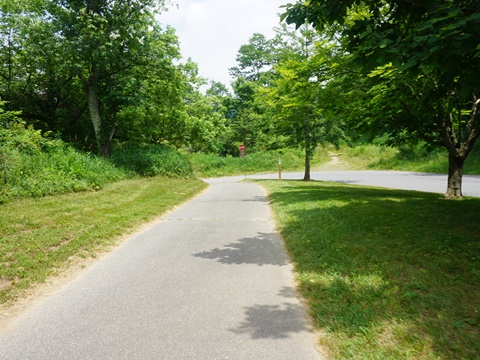
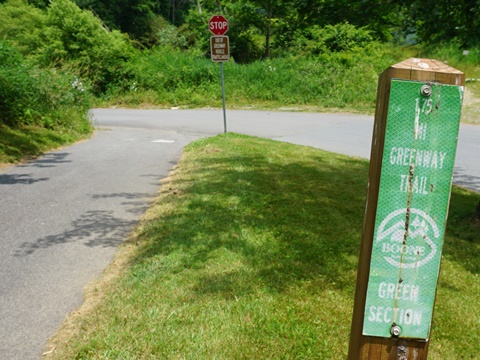
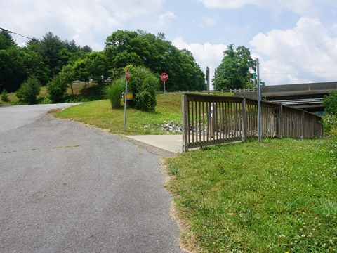
- Approaching State Farm Road (2/10 mile) is a fork - we were unclear as to where to go, better signage here would be helpful. We figured out this is a "cloverleaf." To continue on the trail, go to the right and loop up toward the road, crossing the bridge over Winkler Creek.
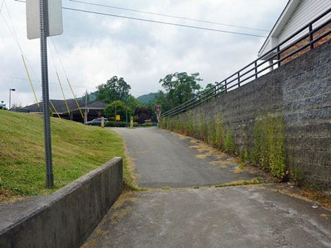
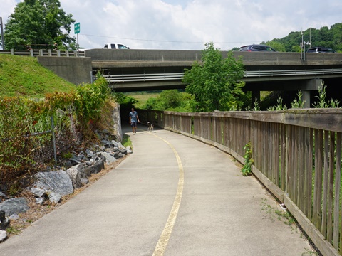
- After crossing the bridge, turn left to go back down, looping around to go under the roadway, and emerging onto Furman Rd.
- The trail continues along Furman Rd. as a bike lane (or ride on the sidewalk, as we saw several bikers doing), but we ended our ride here and returned to parking.
Notes:
(1) At the cloverleaf are a couple side trail options
that more signage would help make clear (see map): a short
trail to more playing fields, and a loop trail to the
Deerfield Rd. parking area.
(2) Hint: After crossing the bridge, you are at State Farm
Rd. at Furman Rd. (at the Appalachian State University
Beaver College of Health Sciences). An option to continue
on the trail is to carefully cross State Farm Rd. to Furman Rd. and
continue in the bike lane (or on the sidewalk) from there.
South Fork New River Greenway - 1.8 miles
The South Fork New River Greenway serves as an extension of the Boone Greenway, connecting at the Casey Lane trailhead. The first section runs as an on-road route, then a separated trail for the remainder.
Casey Lane to US 421 - 0.8 mile
Continuing past the Casey Lane Trailhead, the trail ends at Casey Lane and a road route begins. Casey Lane crosses a bridge over the South Fork New River, then New River Hills Rd. runs about 3/4 mile to US 421 where the South Fork New River Greenway starts.
US 421 to Trail End - 1 mile
- After crossing under US 421, the trail runs briefly along Brookshire Rd., then enters Brookshire Park. The 8-acre park along the river serves as a trailhead has parking, restrooms, picnic shelter, playing fields, and river access.
- Continuing to trail end is a scenic ride, but unshaded. At trail end, link to a series of hiking/mountain biking trails in the hills.
More Information and Resources
More Biking:
North Carolina's High
Country
- Boone Greenway
- Lenoir Greenway
- Yadkin River Greenway
Bike-North Carolina - More bike trails and information about biking in North Carolina
Related Resources:
Town of Boone - Boone Greenway 
Support and Advocacy:
BikeWalk NC 
Copyright © BikeTripper.net. All Rights Reserved. Have Bikes - Will Travel
