You are here > Home >
New York >
South and North County Trailways
Reported: May 2024
South and North County Trailways...
Biking on the Empire State Trail, Westchester County
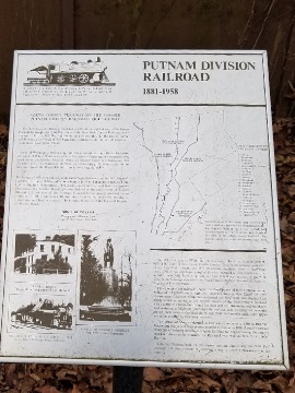
The South and North County Trailways in Westchester County are part of the Hudson Valley Greenway Trail - all part of the 750-mile Empire State Trail (New York City to Albany, and from Albany to Buffalo and to Canada). The South County Trail (14 miles) and North County Trail (22 miles) are rail-trails, following the route of the former Putnam Division of the New York Central Railroad. To the south is a 3-mile street route to the Manhattan Greenway along the Hudson River at Inwood Hill, and to the north it continues on the Putnam Trailway. (Detailed map and photos below.)
Location: Westchester County. South County
Trailway: Yonkers/Bronx border at Van Cortland Park to Elmsford; North County Trail:
Elmsford to Baldwin Place (See map)
Distance: 36 miles
Surface: Asphalt, concrete
Trailheads/Parking: Many (See map)
Bike Shops/Rentals:
Yorktown Cycles  (Yorktown Heights; rentals, sales, service)
Ride of Pleasantville  (Pleasantville; sales, service)
Page Summary:
- Biking the South and North County Trailways
- Van Cortlandt Park
- Old Putnam Trail - South County Trailway
- Redmond Park
- Farragut Ave. Trailhead - North County Trailway
- Law Memorial Park
- New Castle
- Millwood
- New Croton Reservoir
- Yorktown - More Information and Resources
Biking the South and North County Trailways... Comments and Photos
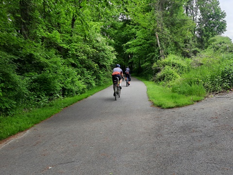
We report from south to north. Starting at Van Cortlandt Park, we then visited a few sections of both the South and North County Trailways, ending in Yorktown Heights. Note: These are snapshots along the way, there's a lot more.
Van Cortlandt Park (Bronx)
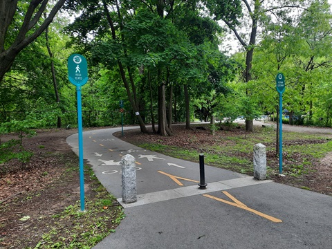
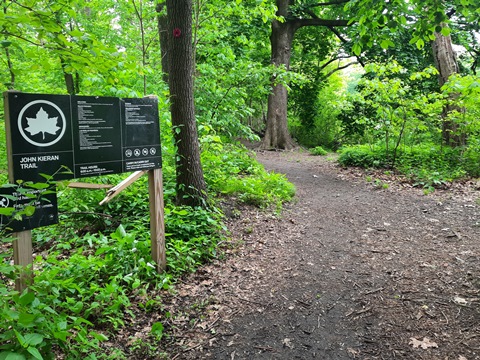
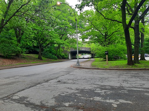
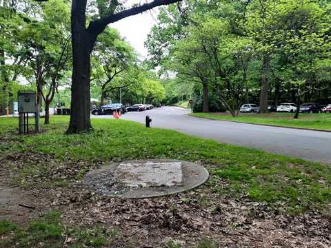
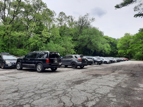
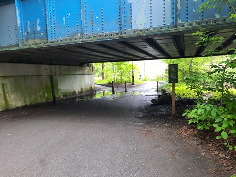
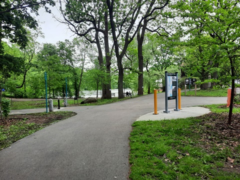
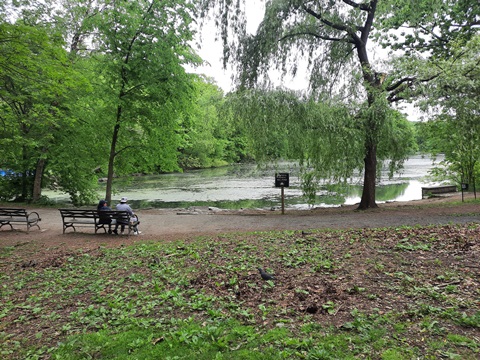
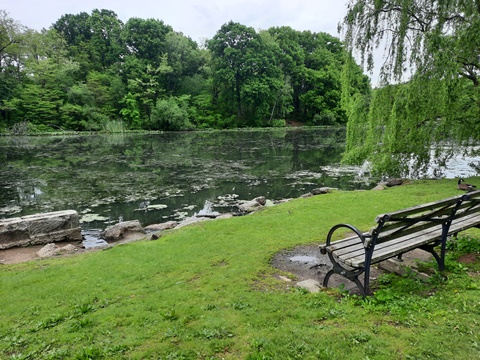
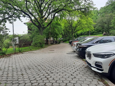
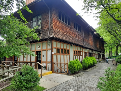
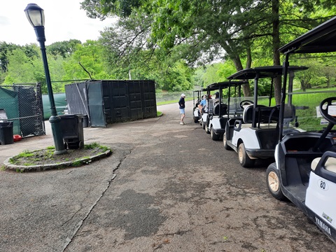
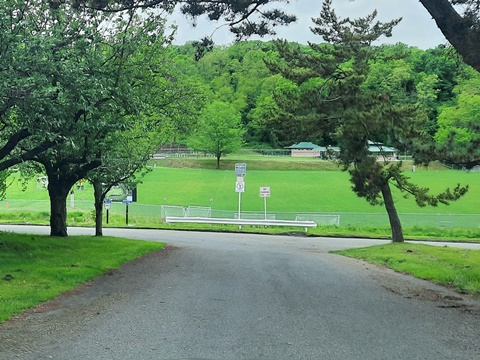
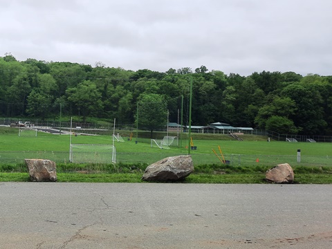
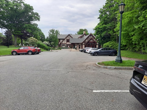
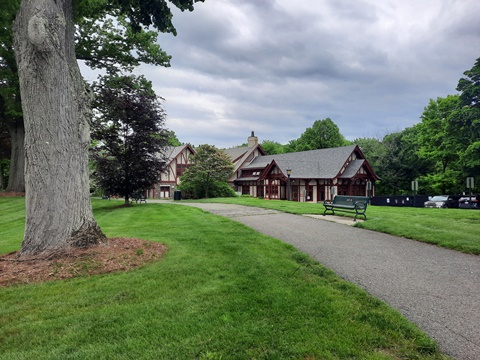
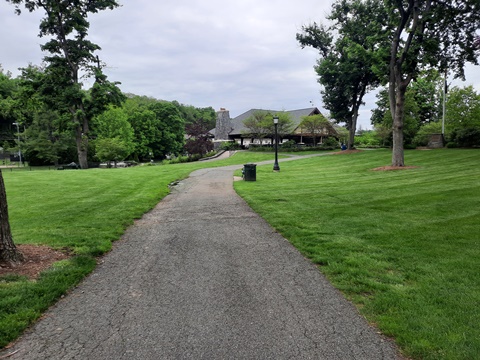
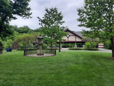
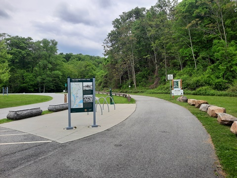
Although technically not part of the South County Trailway, Van Cortlandt Park offers parking, restrooms, and other amenities to Trailway bikers. The 1.5-mile Old Putnam Trail through the park seamlessly connects to the Trailway on the same rail line (also part of the Empire State Trail). At 1,146 acres, this is New York City's third largest park - larger than Central Park. It has activities for just about everyone, with parking, restrooms, picnic, hiking and biking trails, playgrounds, historic sites, golf, playing fields, fishing, and more. The park also protects 600+ acres of natural areas (forest, meadows, wetlands, water).
Old Putnam Trail
Around the Park
Some History: The park is named for the Dutch Van Cortlandt family who acquired the land in 1691. The Van Cortlandt House built in 1748 is the oldest surviving building in the Bronx, and played a part in the Revolutionary War (yes, George Washington slept here). The property was eventually sold to the City of New York and the park established in 1888. The public golf course is the country's first (1895).
South County Trailway - 14 miles
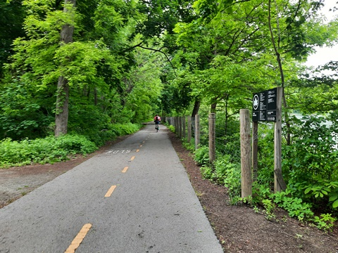
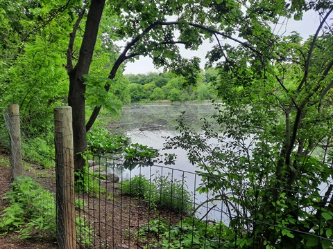
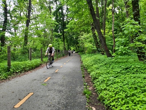
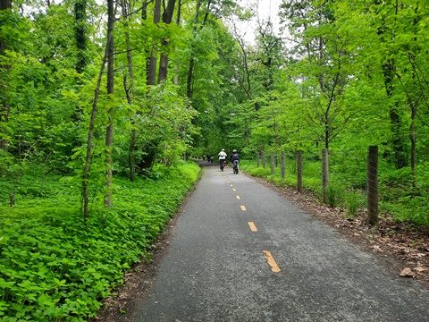
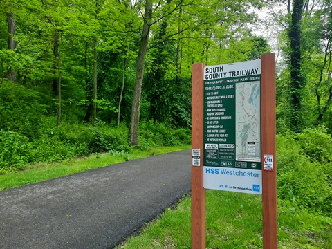
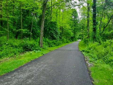
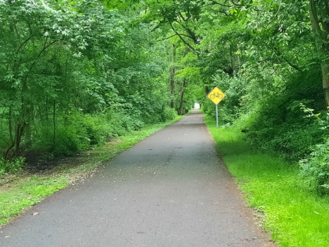
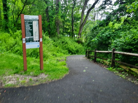
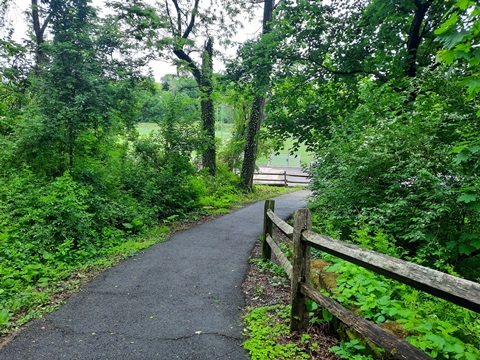
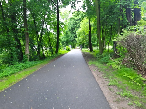
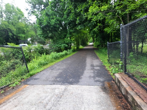
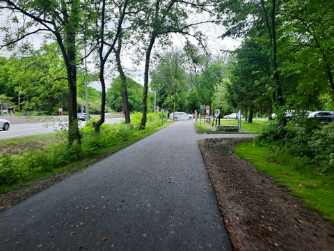
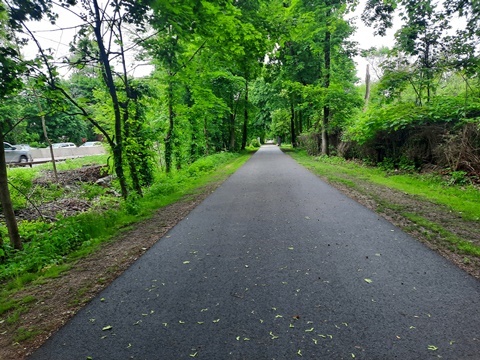
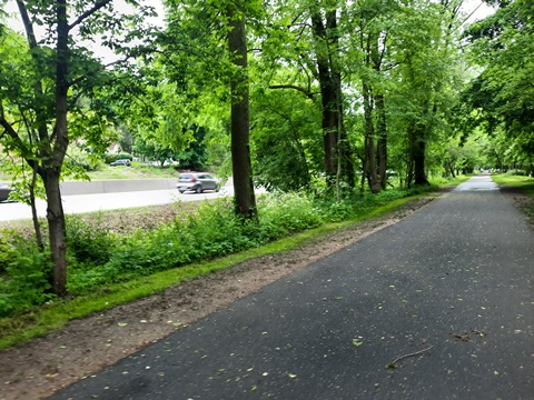
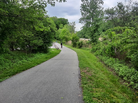
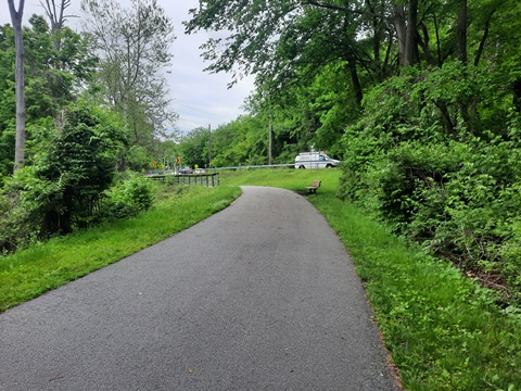
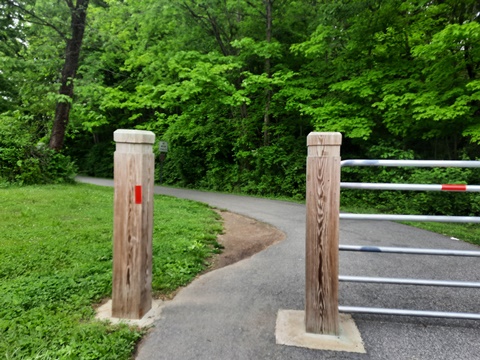
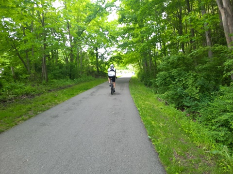
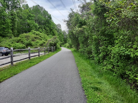
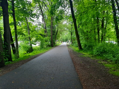
The South County Trailway runs 14 miles from the Bronx/Westchester County line at Van Cortlandt Park to Elmsford, NY. This is a more urban area, but running along the Saw Mill River with a lot of tree coverage provides a rural feel. The route also parallels the Saw Mill River Parkway, and in some sections the NY State Thruway (I-87) - buffered but road noise may be heard. Running through towns, it may be close to business or industrial areas. Benches are provided, and restrooms may be found in parks or some trailheads along the way.
Nearby Places of Interest: Van Cortlandt Park, Tibbetts Brook Park
Hugh Redmond Memorial Park (Yonkers) - mile 1.25
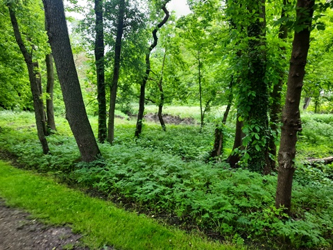
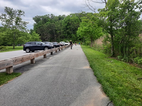
- At about 1.25 mile is Hugh Redmond Memorial Park. Here, the Trailway runs through a wooded area adjacent to the Dunwoodie Golf Course.
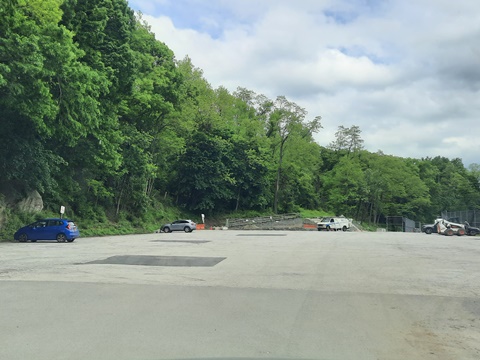
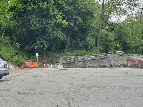
- The 35-acre park has parking, restrooms, playing fields. The park is undergoing a restoration project, more facilities are planned.
Farragut Ave. Trailhead (Hastings on Hudson) - mile 6
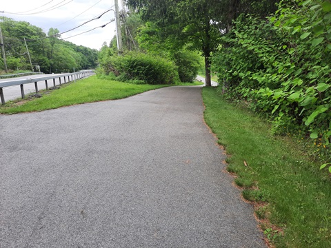
- In this section, the South County Trail runs between the Saw Mill River and the Saw Mill River Parkway. Although buffered by trees, there is road noise.
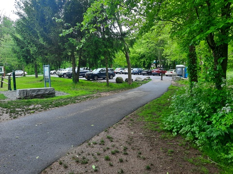
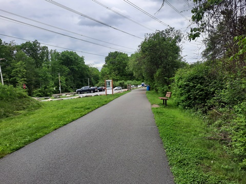
- The Farragut Ave. Trailhead at about mile 6 has parking, porta-potties.
North County Trailway - 22 miles
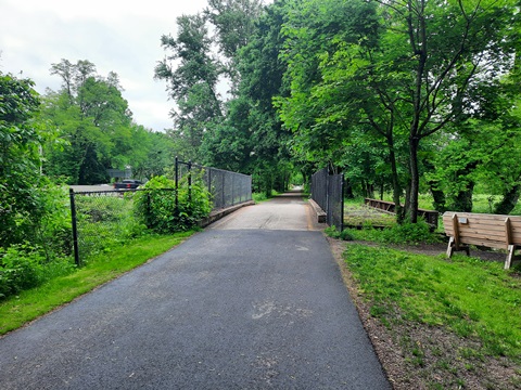
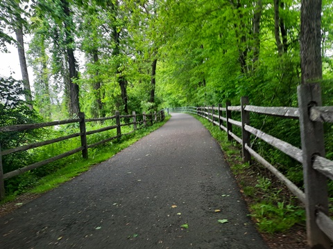
The North County Trailway runs along the Saw Mill River Parkway to Hawthorne, then follows Saw Mill River Road. Except for the section through Yorktown Heights, this a more remote area mostly following Saw Mill River Road (quieter than along the Parkway to the south). Two short sections run on-road. Benches are provided, some trailheads have restrooms.
Nearby Places of Interest: Pace University, Graham Hills Park, Kitchawan Preserve, Kykuit (Rockefeller Estate)
Law Memorial Park (Briarcliff Manor) - mile 6
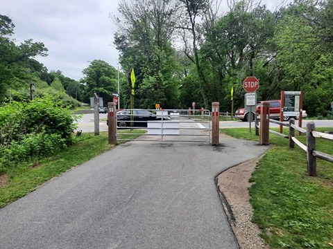
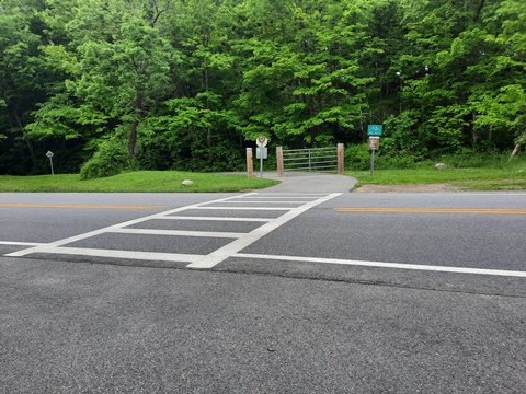
- The Trailway here runs alongside Saw Mill River Rd. with a wide buffer. Cross Pleasantville Rd. to park entrance.
- Law Memorial Park has parking, restrooms, picnic pavilion, playground, sports fields, pool, and the Briarcliff Manor Public Library (originally, a railroad depot).
New Castle Trailhead (New Castle) - mile 8
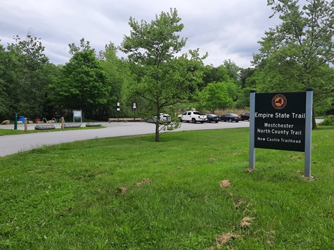
- The New Castle Trailhead has parking and a bike fix-it station.
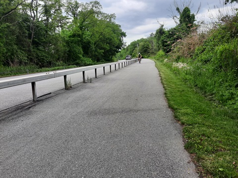
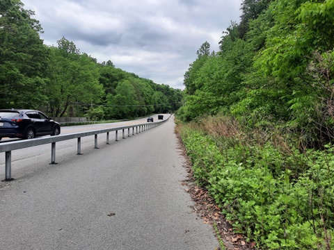
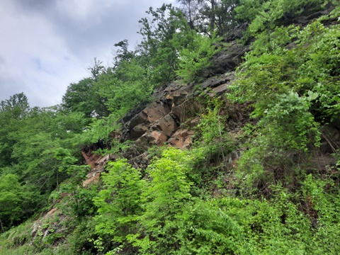
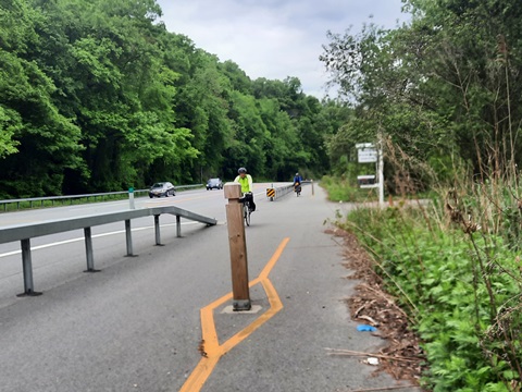
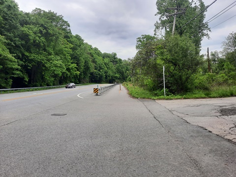
- In this section, the Trailway is an on-road shoulder along Saw Mill River Road, separated with a barrier. This is a wooded and scenic area, with the trail passing the entrance to Echo Lake State Park.
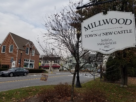
Millwood (New Castle) - mile 9.5
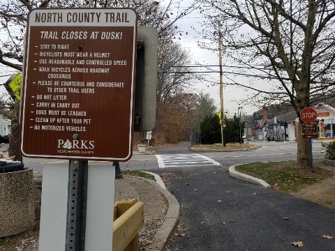
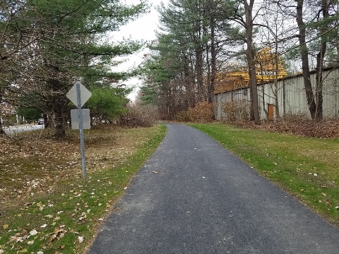
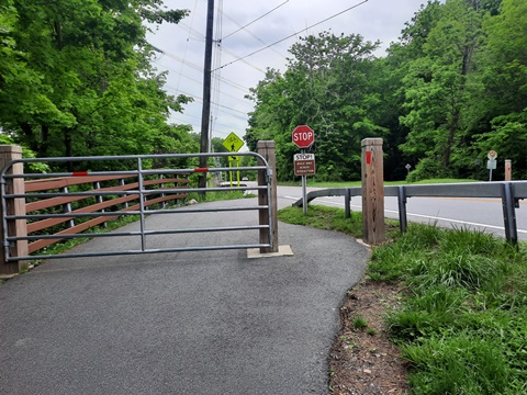
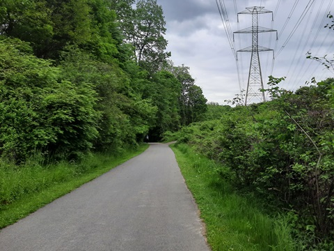
- The trail runs through Millwood (a hamlet within the City of New Castle) alongside Station Rd. with a few road crossings. The busiest is at Millwood Rd. (rte. 120), then the trail leaves the roadway and follows a powerline. This is a small town, with just a few shops and restaurants nearby.
New Croton Reservoir to Yorktown Trailhead (Yorktown Heights) - miles 11-12
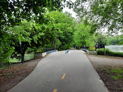
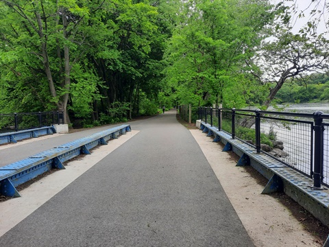
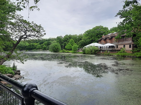
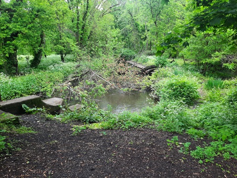
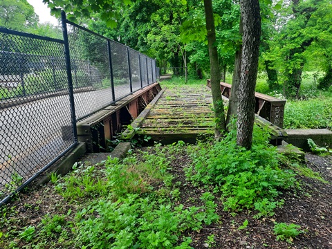
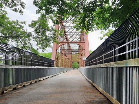
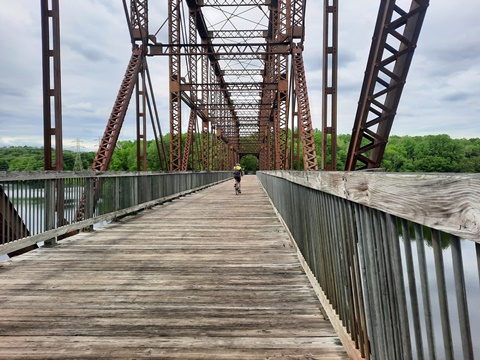
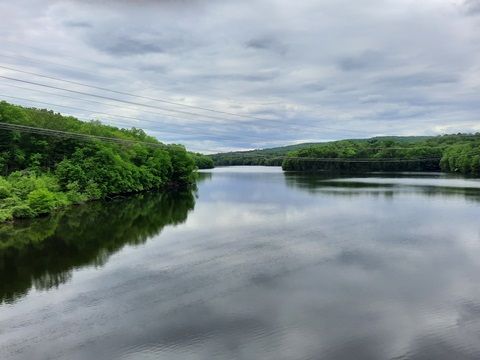
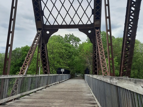
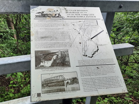
- Approaching the New Croton Reservoir, the Trailway leaves the roadway and runs through a section of the Kitchawan Preserve. The scenic highlight is crossing the reservoir on an old railroad trestle. The reservoir is part of the New York City water supply system.
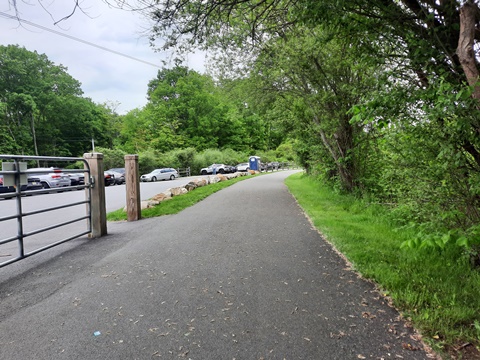
- Past here the trail rejoins, then crosses, Saw Mill River Road, to the Yorktown Trailhead (parking, porta-pottie).
- The Trailway continues parallel to but away from the roadway for about a mile before nearing it again as it approaches Yorktown Heights.
New Croton Reservoir
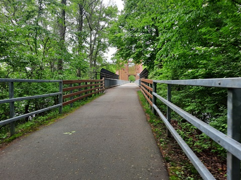
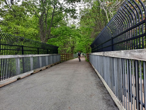
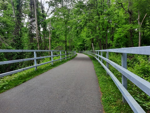
Reservoir to Yorktown Trailhead
Continuing on the Trailway
More Information and Resources
More Biking:
Empire State Trail -
Manhattan to Albany, Canada, and Buffalo
Bike-New York
- More bike trails and information about biking in New York State
Related Resources:
NY State -
Empire State Trail 
Westchester County Parks - South County Trailway brochure 
Westchester County
Parks - North County Trailway brochure 
Support and Advocacy:
Westchester
Parks Foundation 
Van
Cortlandt Park Alliance 
Saw Mill River Coalition 
