Bike Tripper
Have Bikes, Will Travel
Bike Trail Maps & Photos Galore
You are here > Home >
West Virginia >
North Bend Rail Trail
Reported: June 2016
North Bend Rail Trail...
Biking in West Virginia
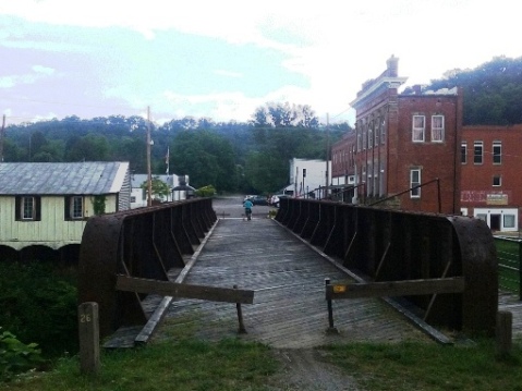
The North Bend Rail Trail is part of the West Virginia State Park system and a
component of the coast-to-coast American Discovery Trail. It runs
72 miles on an old B&O railbed from Parkersburg to Wolf Junction (near Clarksburg),
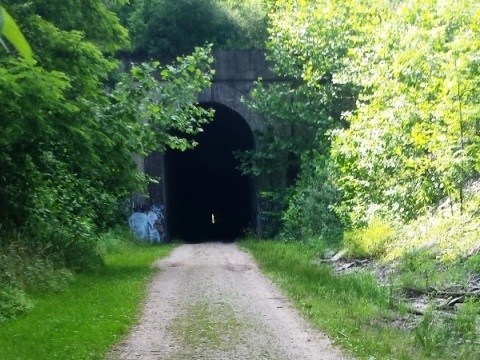
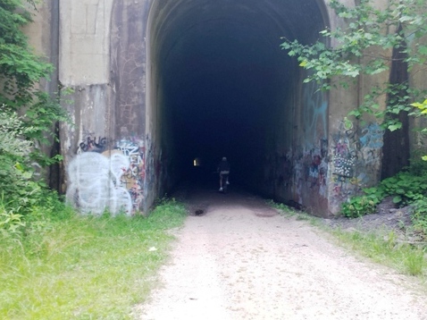
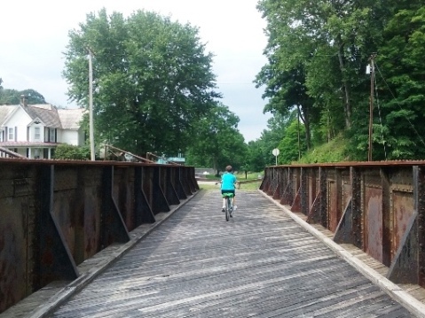
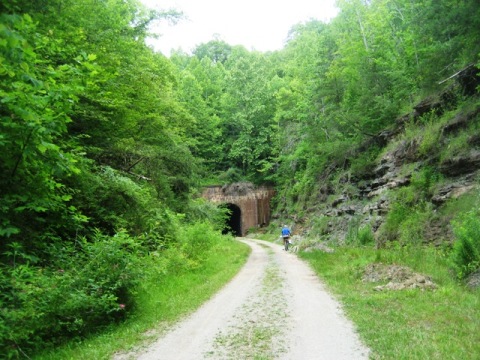
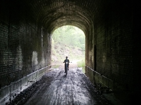
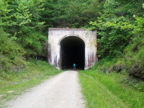
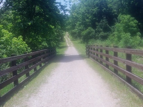
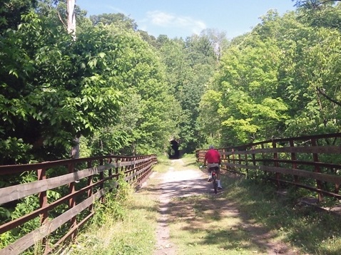
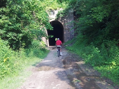
paralleling US Route 50. The scenic trail features 36 bridges and 12 tunnels (10
passable, bring lights). There once were 23 tunnels but the remainder were "daylighted"
- read more about the tunnels and bridges
here
 . The trail is very
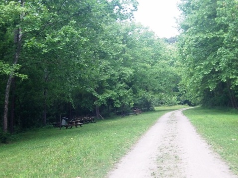
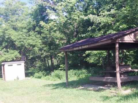
remote, but some of the towns have facilities, food and lodging. Benches and picnic
tables are provided along the route.
(Detailed map and photos below.)
Location: Parkersburg to Wolf Junction (Clarksburg), WV (See map)
Distance: 72 miles
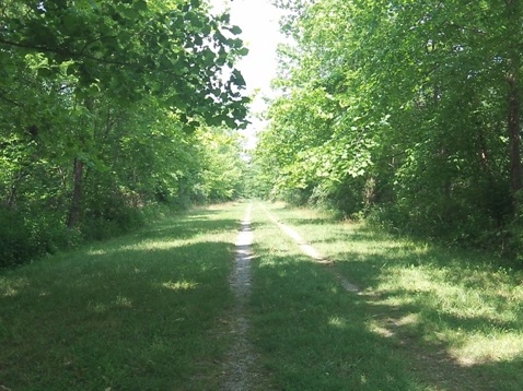
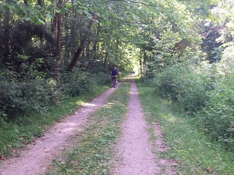
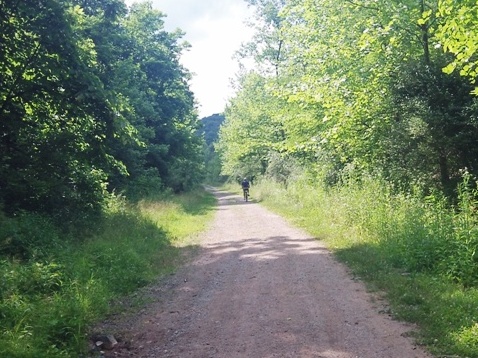
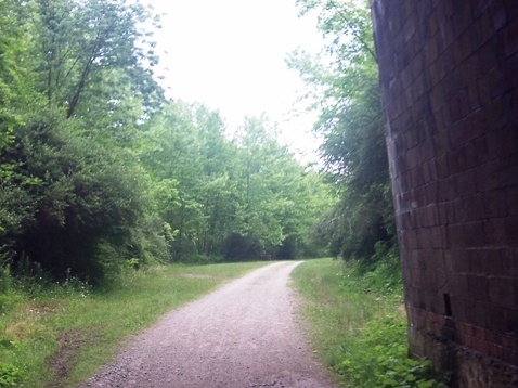
Surface: Gravel, dirt, crushed stone, grass
Support and Advocacy:
North Bend Rails to Trails Foundation 
West Virginia Rails-to-Trails Council 
Bike Shops/Rentals:
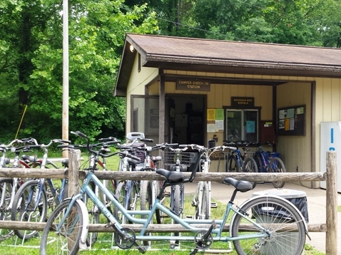
Country Trails Bikes  (Cairo; rentals)
Marietta Adventure Company  (Marietta, OH;
rentals, sales, service)
Biking at North Bend Rail Trail
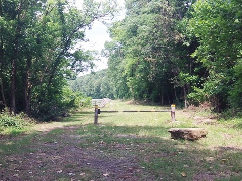
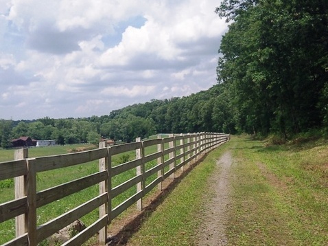
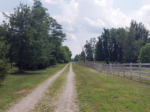
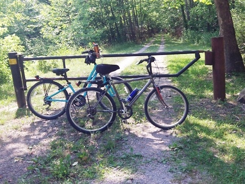
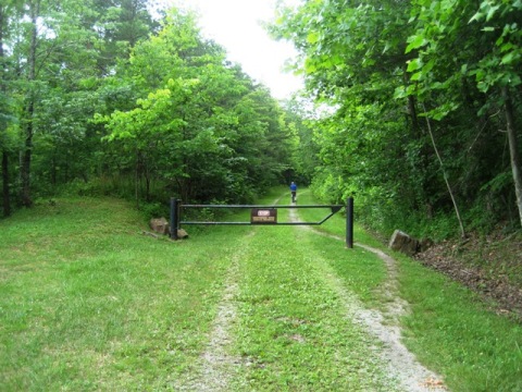
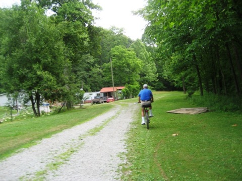
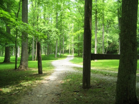
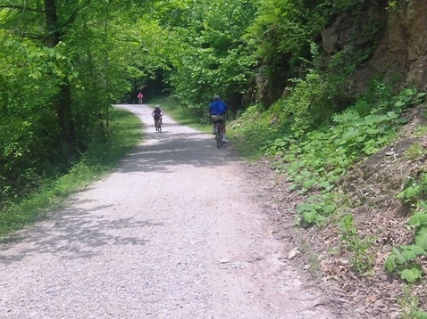
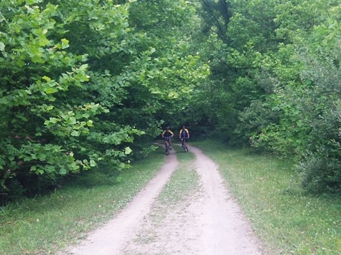
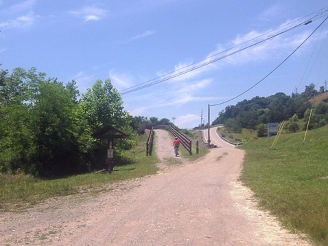
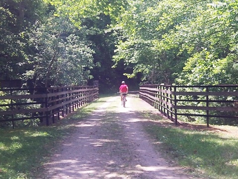
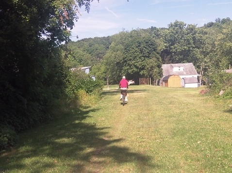
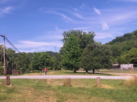
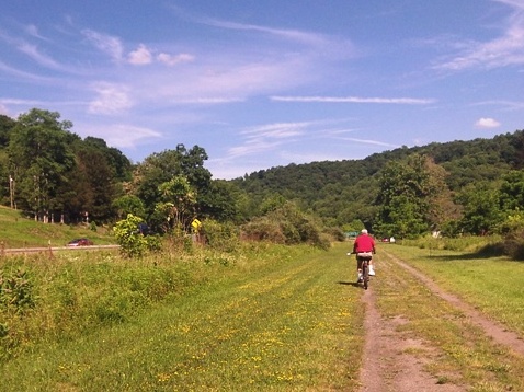
We biked sections of the trail at Eaton, Cairo, Ellenville, and Salem, including 6 tunnels, and visited other trailheads. The dirt/stone/gravel surface is mostly easy to ride, the grassy sections were more challenging. Mild grades of no more than 1.5% were appreciated by us Florida flatlanders.
Happy Valley Trailhead
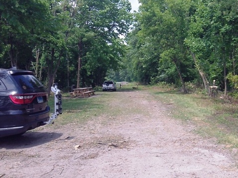
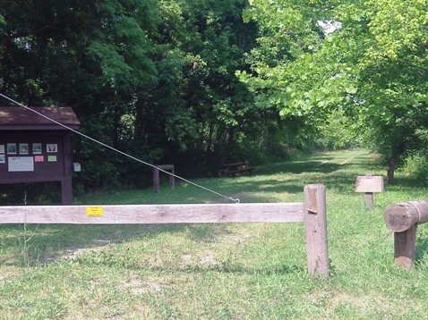
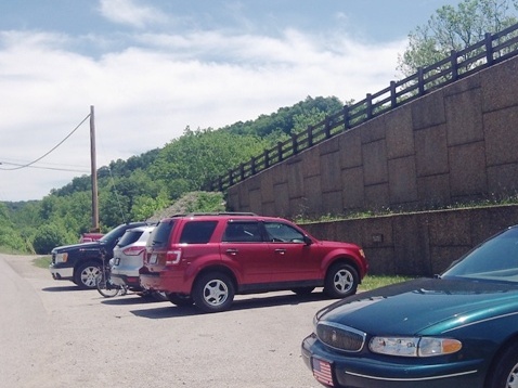
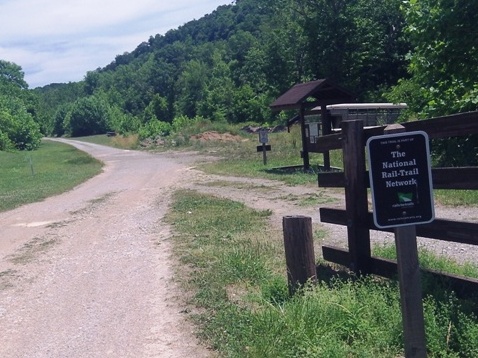
The Happy Valley trailhead is about 1 mile from the western terminus at Parkersburg - off route 47 to Happy Valley Road. Parking, picnic tables.
Walker
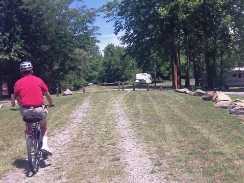
We stopped at the point where the trail crosses Walker Road; roadside parking, picnic table.
Eaton
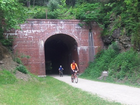
We biked from Eaton Station (parking only) to Tunnel #21, at 1,840 feet it's the second longest tunnel. The trail is hard-packed and easy to ride through this section, the tunnel was mostly smooth.
Cairo
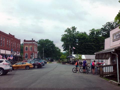
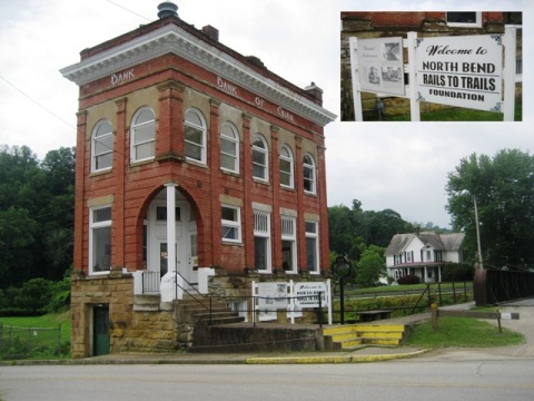
Cairo is a quaint town with restaurants, shops, and a bike shop. The old bank building is now North Bend Rails to Trails Foundation headquarters. We biked to Tunnel #19, the Silver Run Tunnel - 1,376 feet, smooth ride. The tunnel is reported to be haunted - but we saw and heard nothing!
North Bend State Park
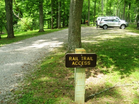
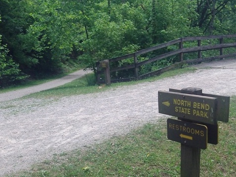
A link from the park runs to the trail, we biked from here to two tunnels. The trail was hard packed and easy to ride. Tunnel #13 at Bond's Creek is 353 feet - in 1956 a train wrecked here and fell into Bonds Creek, killing 2 people and injuring 45. Tunnel #12 is 577 feet. Both were smooth rides.
Ellenboro
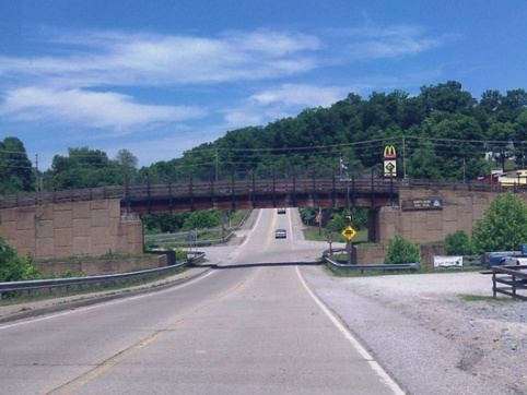
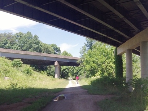
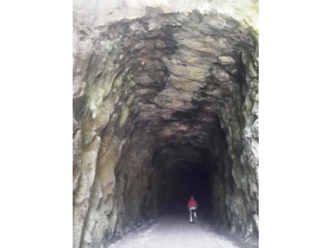
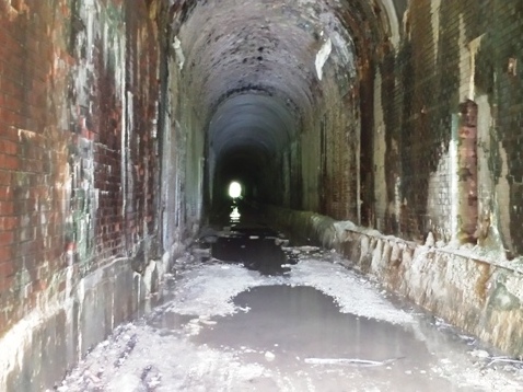
Ellenboro is noted for its glass and marble factories; food, hotel, and facilities are available. We biked both ways from the overpass over Route 16 (the steepest grade on the trail). Westbound, the trail went past a mostly industrial area so we went back to the overpass and proceeded eastbound to Tunnel #10, the Dick Bias Tunnel. It's 377 feet, and notable for being carved through solid rock. Damp but rideable.
Salem
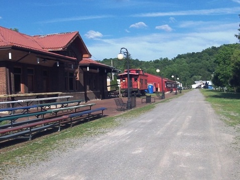
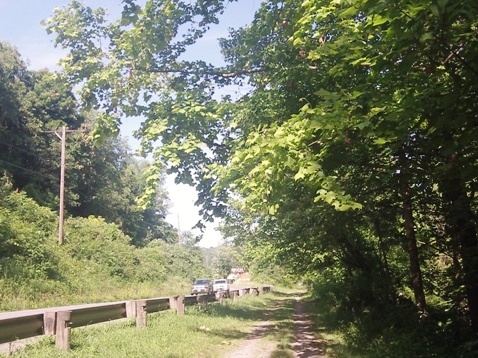
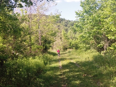
Salem was settled in 1794, and has food and lodging available. We parked at the B&O train station and biked to Tunnel #2, which runs 1,086 feet; rough and wet. This was our least favorite section of the trail, running along the road in parts and some overgrown grassy spots to push through.
Wolf Summit (eastern terminus)
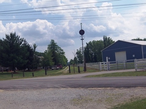
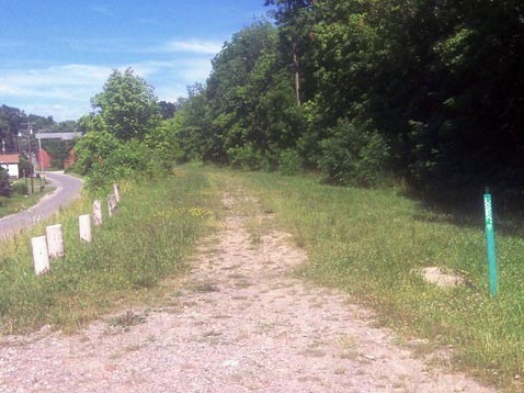
At the road crossing we saw a short section of trail that was mostly overgrown.
More Information and Resources
More Biking:
Bike-West
Virginia - More bike trails and information about biking in
West Virginia
Related Resources:
West Virginia State Parks -
North Bend Rail Trail 
West Virginia Rails-to-Trails Council - North Bend Rail Trail 
Copyright © BikeTripper.net. All Rights Reserved. Have Bikes - Will Travel
