Bike Tripper
Have Bikes, Will Travel
Bike Trail Maps & Photos Galore
You are here > Home >
West Virginia >
Morgantown >
Mon River Trail
Reported: October 2023
Mon River Trail, Biking in Morgantown, WV...
Part of a 48-Mile Rail-Trail Network
The Mon River Trail follows the Monongahela River from the West Virginia-Pennsylvania state line through Monongalia County into Marion County, WV. The trail is composed of two sections (north and south), connected by the Caperton Trail in the middle. The compacted limestone surface is mostly an easy to ride. (Detailed map and in-sequence trail photos below.)
Location: Morgantown, WV (See map)
Distance: North section-6 miles, South section-18
miles. The two sections are connected by the 6-mile Caperton Trail.
Surface: Compacted limestone
Trailhead/Parking: North section: Edith Barill Riverfront Park,
Star City Trailhead, Van Voorhis Rd.,
Sheepskin Trail trailhead (Pennsylvania). South section: Uffington, Opekiska Rd., Prickett’s Fort State Park.
Nearby Places of Interest: West Virginia University,
Prickett’s Fort State Park
Support and Advocacy:
Mon River Conservancy 
Bike Shops/Rentals:
Wamsley
Cycles
(sales, service, rentals)
Pathfinder
(sales, service)
Page Summary:
- North Section
- Edith Barill Riverfront Park
- Van Voorhis Trailhead
- State Line, Sheepskin Trail - South Section
- Uffington Trailhead
- Opekiska Rd., Opekiska Lock and Dam
- Prickett's Fort State Park - More Information and Resources
Mon River Trail... North Section (6 miles)
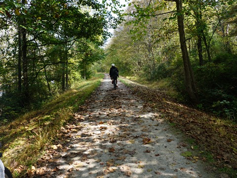
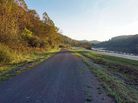
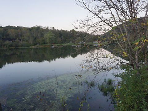
Here we visit the trail northbound from Edith Barill Riverfront Park (at the juncture with the Caperton Trail) to trail end at the Pennsylvania State Line (where the Sheepskin Trail begins). The trail is paved for a short distance from Barill Park, then becomes compacted limestone for the remainder, following the Monongahela River along an old CSX rail corridor. Mostly flat and easy to ride, with scenic views.
Edith Barill Riverfront Park to Van Voorhis Trailhead
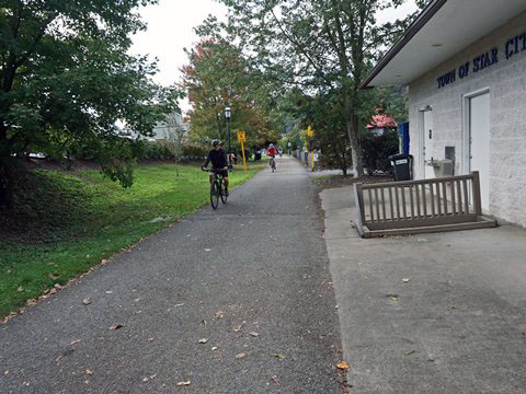
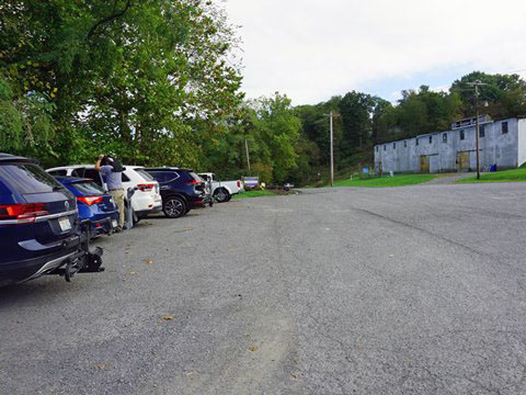
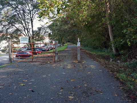
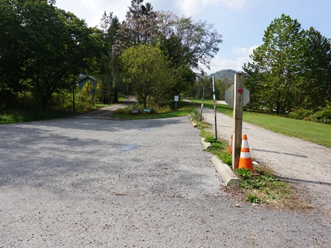
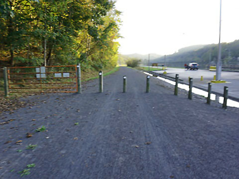
- Edith Barill Riverfront Park, shared with the Caperton Trail has parking, restrooms, playground, picnic tables, and boat/kayak/canoe launch. Additional parking is located at the Star City Rails to Trails parking lot near the start of the Mon River Trail.
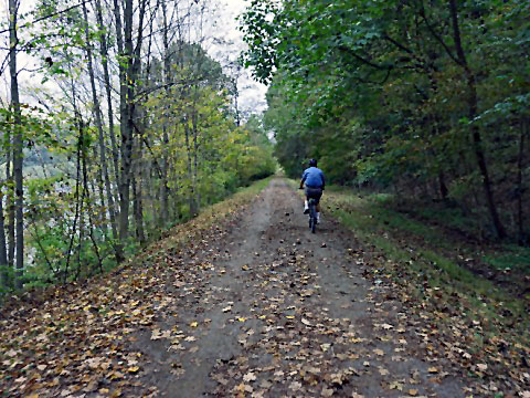
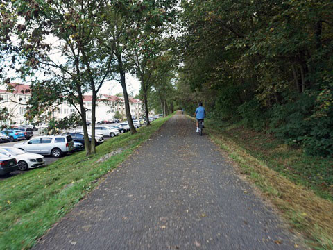
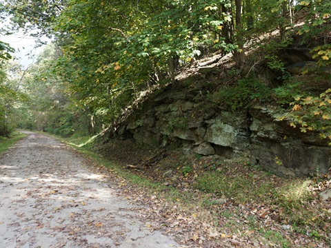
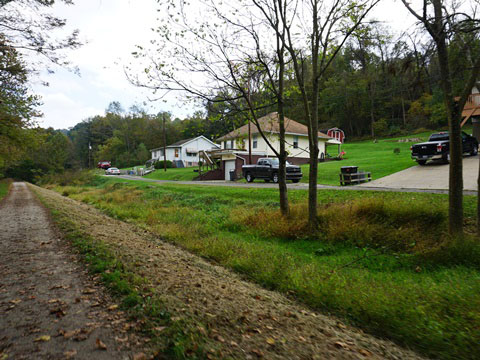
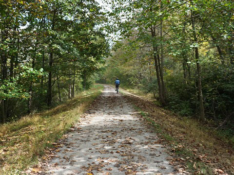
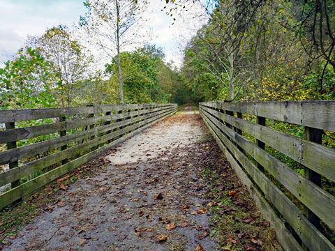
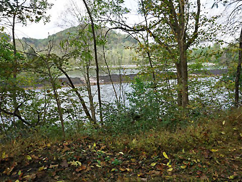
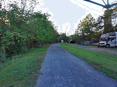
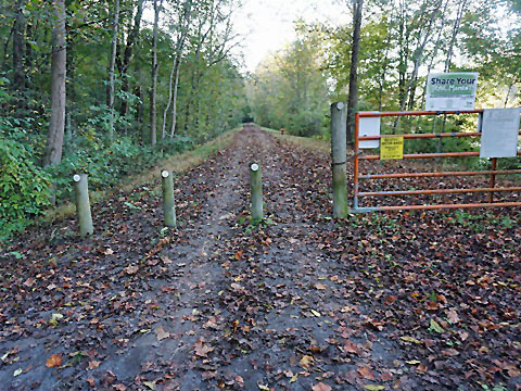
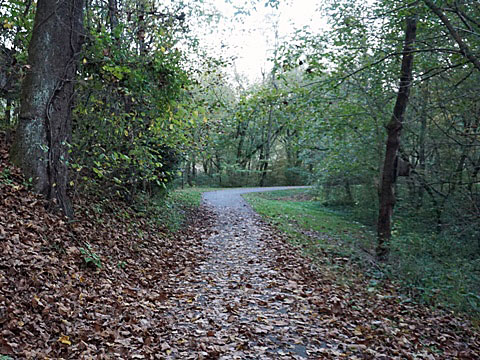
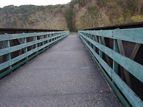
- Initially passing a residential area, the pavement ends at mile 6 and the Mon River Trail begins. The trail becomes totally buffered from nearby development as it enters woodlands along the river. Rocky outcroppings, some open fields, and a bridge over a creek are features along the way.
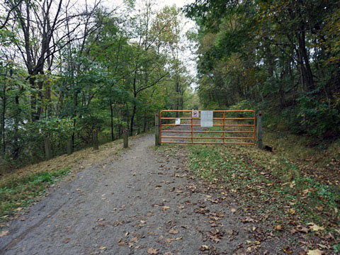
Van Voorhis Trailhead to Trail End (Pennsylvania State Line)
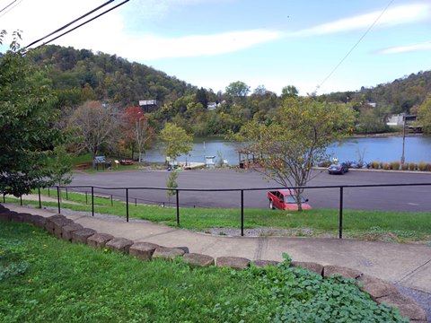
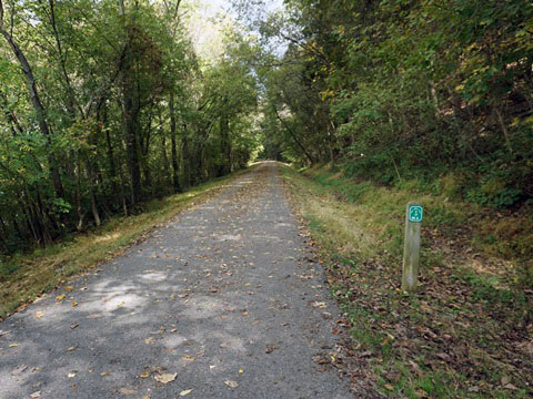
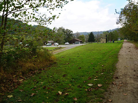
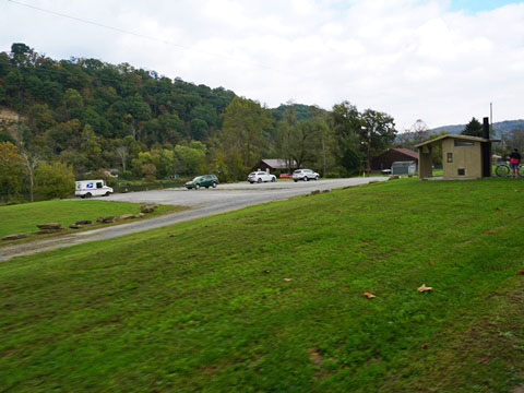
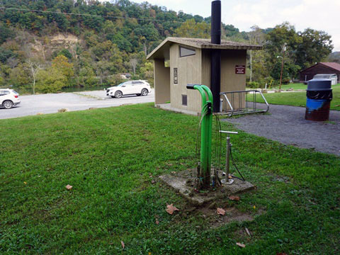
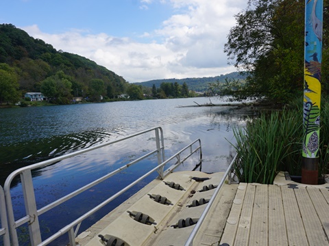
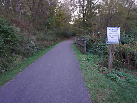
- Van Voorhis Trailhead (around mile 4) provides parking, restrooms, bike fix-it station, and kayak/canoe launch onto the Monongahela River. The trail parallels Boston St. here, passing some homes and crossing Van Voorhis St.
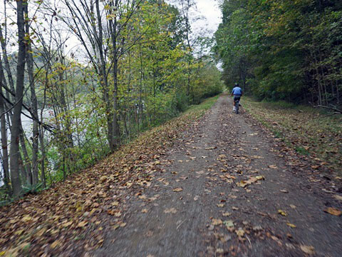
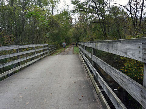
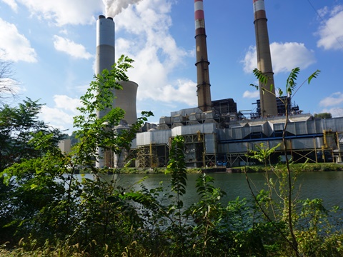
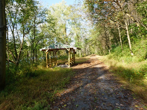
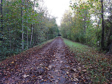
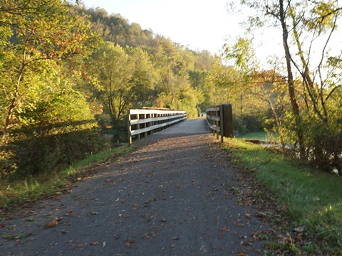
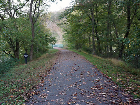
- Continuing along the river through woodlands, the trail is similar to the previous section, with river views and crossing several bridges, Nearing trail end, the trail's tranquility is broken by the sprawling First Energy Corp./Fort Martin Power Station across the river. When you come to the covered rest station, you're approaching trail end.
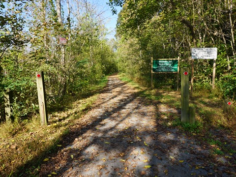
- At the Pennsylvania State Line, the trail links continuously to the Sheepskin Trail. Continue one mile to the Trailhead at Point Marion Park, with parking, restrooms, picnic tables, playground, and playing fields.
South Section - 18 miles
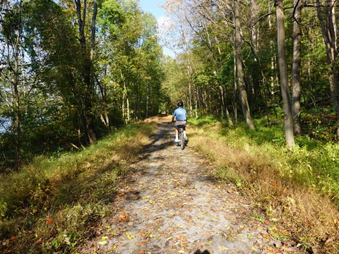
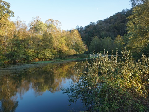
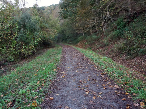
We rode southbound a short distance from the juncture with the Caperton Trail, and then visited the trailheads at Uffington, Opekiska Rd. and Prickett's Fort State Park. This is a scenic but remote section with no amenities, bring water and snacks.
Juncture with Caperton Trail
The two trails merge seamlessly. A gazebo at the trail junction has benches and water.
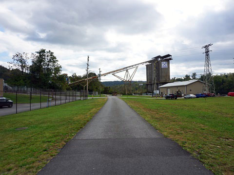
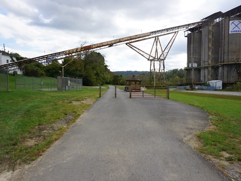
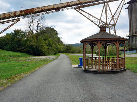
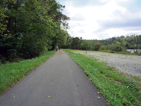
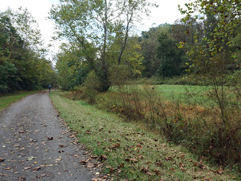
This is an industrial area, the trail passes several plants and a limestone facility before re-entering woodlands along the river.
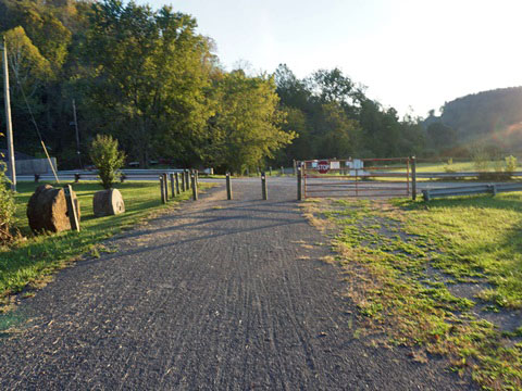
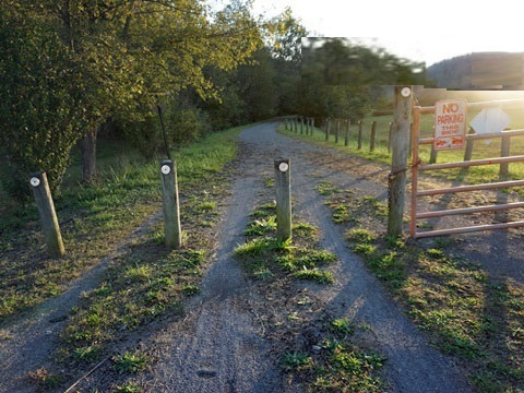
Uffington Trailhead
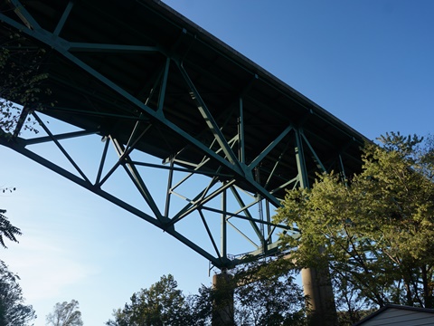
Parking is at the Uffington Boat Dock, under the I-79 bridge. No other facilities.
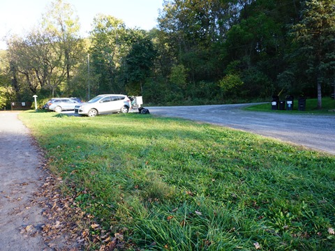
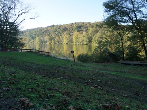
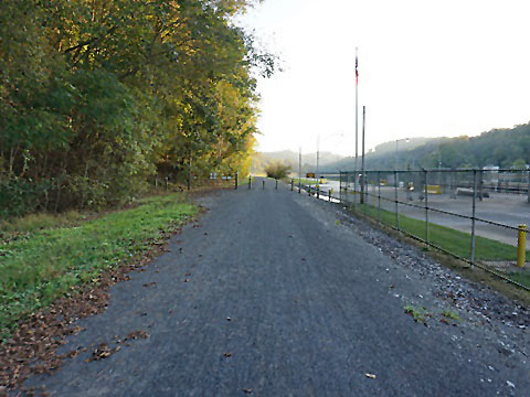
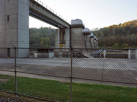
Opekiska Road
The trail runs past the Opekiska Lock and Dam, with roadside parking along Opekiska Rd.
For parking, take Opekiska Rd. past the trail crossing and over the bridge at Whiteday Creek. Parking is roadside - ride back to the trail crossing, or continue on the road to the Lock and Dam. Future trailhead planned.
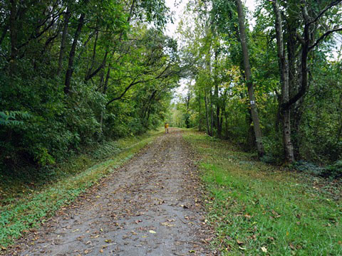
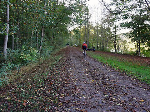
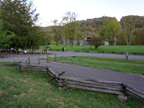
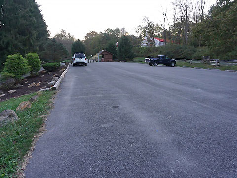
Prickett's Fort State Park
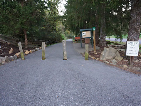
A 650-foot connector trail at Prickett’s Fort State Park links to the southern end of the Mon River Trail. Note: The trail surface north to Opekiska is rougher than other sections, pending future improvements. The parking area is shared with the paved Marian County Trail ("MC Trail"), which runs 2.5 miles to Fairmont. The State Park provides parking, restrooms, picnicking, Visitor Center, cafe, bike and kayak rentals, boat launch, and Nature Trail (hiking).
The Fort is a reconstruction, the original (1774) was a frontier
outpost. Tours, interpretative programs, and craft exhibitions
demonstrate Colonial life in the late 18th century. No fee to use the park,
fee applies to visit the fort.
More information
More Information and Resources
More Biking:
Morgantown-Overview
- Mon River Trail
- Caperton Trail
- Deckers Creek Trail
Bike-West Virginia - More information about biking in West Virginia
Related Resources:
Mon River Trails Conservancy - Rail-Trail Info

Copyright © BikeTripper.net. All Rights Reserved. Have Bikes - Will Travel