Bike Tripper
Have Bikes, Will Travel
Bike Trail Maps & Photos Galore
You are here > Home >
West Virginia >
Greenbrier River Trail
Reported: May 2015
Greenbrier River Trail...
Biking in West Virginia
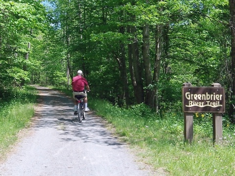
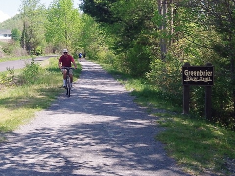
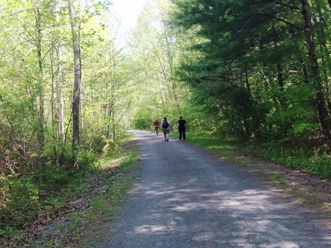
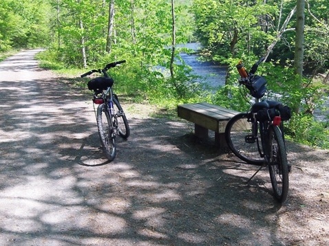
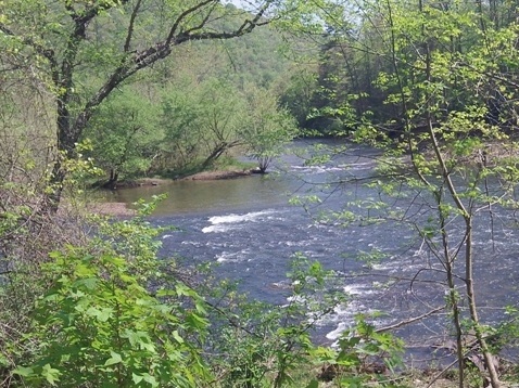
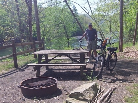
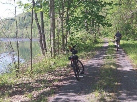
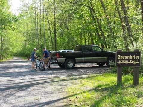
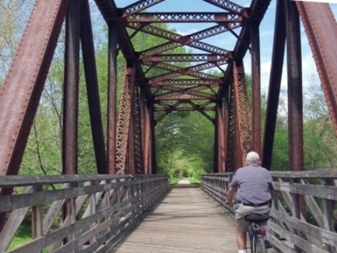
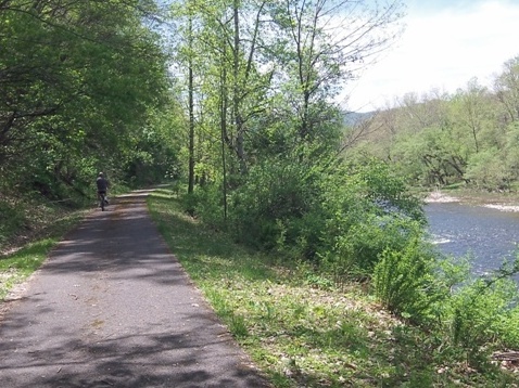
The Greenbrier River Trail, part of the West Virginia State Park system, runs 78 miles between Caldwell and Cass, WV, paralleling the scenic Greenbrier River on old railbeds. The gravel surface with mild grades of no more than 1% was mostly easy to ride. We biked the southern portion from Caldwell to Anthony and a section at Marlinton (about 2/3 of the way up). We hope to visit more of the trail, its 35 bridges, two tunnels, and the northern terminus at Cass in the future. Other uses are hiking, backpacking, horseback riding, and cross-country skiing. (Detailed map and photos below.)
Location: Caldwell to Cass, WV (See map)
Distance: 78 miles
Surface: Gravel, some paved
Support and Advocacy:
Greenbrier River
Trail Association 
West Virginia Rails-to-Trails
Council
Bike Shops/Rentals:
Free
Spirit Adventures (Caldwell;
rentals)
Appalachian Sport
(Marlinton; rentals, shuttle)
See a list here
(scroll down on the page)
Biking at Greenbrier River Trail
Caldwell to Anthony
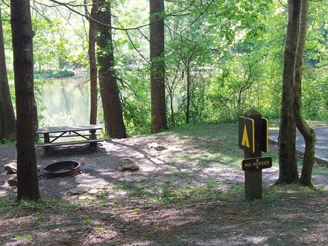
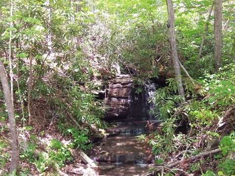
More walkers are at the southern end, closer to town. Trail has many benches to stop and view the scenic Greenbrier River. Campgrounds are available, with access by trail or water. A scenic plus were several little waterfalls cascading down.
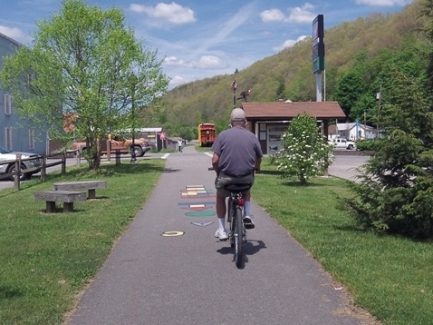
Marlinton
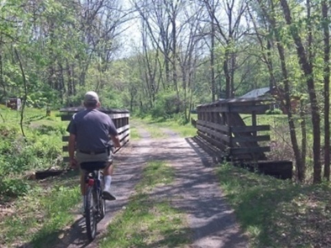
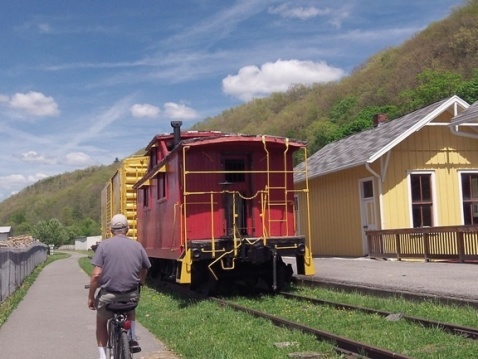
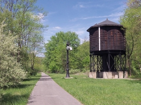
We enjoyed the paved trail at Marlinton. Remnants of the railroading past including the old railroad station and rail cars, and a steam engine water tower. The trestle bridge over Knapps Creek provides a scenic view.
More Information and Resources
More Biking:
Bike-West
Virginia - More bike trails and information about biking in
West Virginia
West Virginia State Parks -
Greenbrier River Trail
West Virginia Rails-to-Trails Council - Greenbrier River Trail

Copyright © BikeTripper.net. All Rights Reserved. Have Bikes - Will Travel