Bike Tripper
Have Bikes, Will Travel
Bike Trail Maps & Photos Galore
You are here >
Home >
Virginia >
High Bridge Trail State Park
Reported: July 2013
High Bridge Trail State Park...
Biking in an Historic Virginia Area
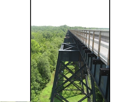
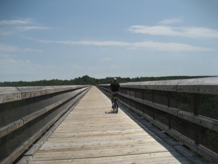
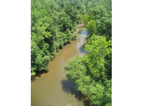
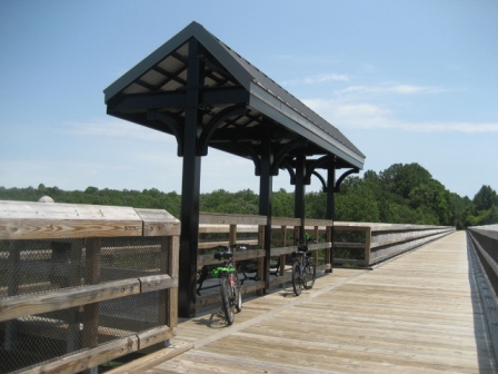
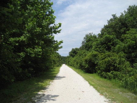
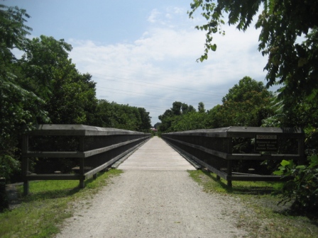
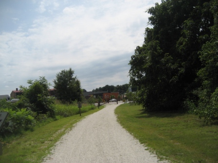
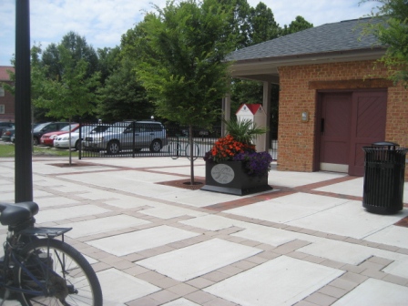
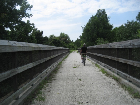
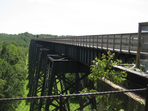
The 31 mile trail is a linear state park, running on an old rail bed of the Norfolk Southern Railroad. The trail has some easy grades, picnic, parking and restroom/port-a-let facilities. The focal point is the High Bridge, a 2,400 foot long, 60-125 foot high bridge crossing the Appomattox River. The original wooden bridge was built in 1854 and played a role in the Civil War. A steel bridge was built in 1914 with the railroad running until 2004. (Detailed map and photos below.)
Location: Pamplin City to Burkeville; Cumberland, Nottoway and Prince Edward counties (See map)
Distance: 31 miles
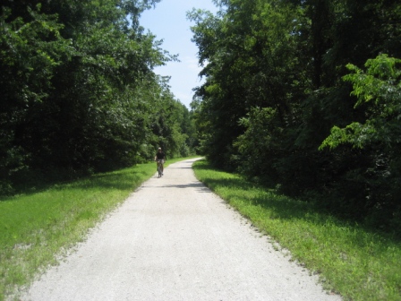
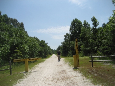
Surface: Crushed limestone
Bike Shops/Rentals:
The Outdoor
Adventure Store  (Farmville;
rentals, sales, service)
Page Summary:
- Biking at High Bridge Trail State Park
- River Rd. Trailhead to High Bridge
- Trail at Farmville - More Information and Resources
Biking at High Bridge Trail State Park
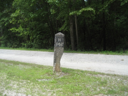
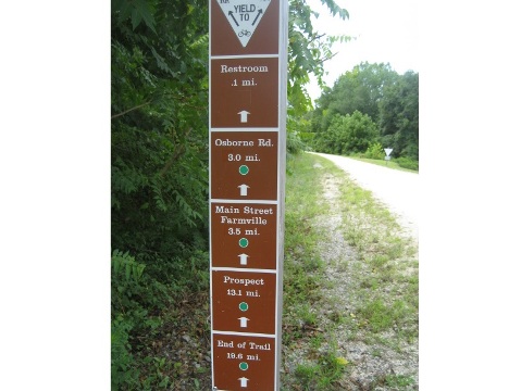
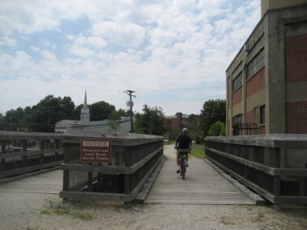
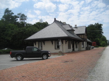
We rode the trail at High Bridge and the section around Farmville, VA.
River Rd. Trailhead to High Bridge
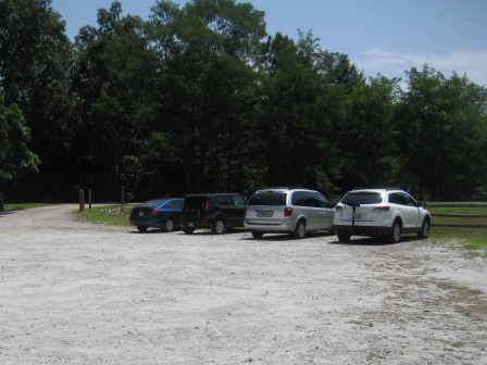
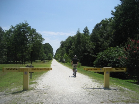
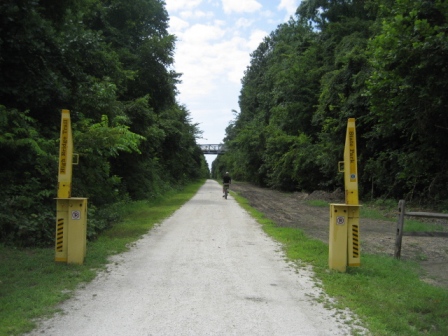
From River Road Trailhead is about 1.4 mile to High Bridge
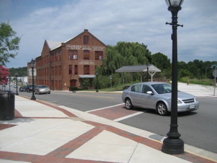
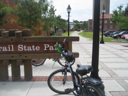
Trail at Farmville
Farmville is the approximate midpoint of the trail.
More Information and Resources
More Biking:
Bike-Virginia - More
bike trails and information about biking in Virginia
Related Resources:
Virginia State Parks - High Bridge Trail State Park 
Visit Farmville - Hike/bike! 
Support and Advocacy:
Friends of High Bridge Trail State Park 
Virginia
Association for Parks 
Copyright © BikeTripper.net. All Rights Reserved. Have Bikes - Will Travel
