Bike Tripper
Have Bikes, Will Travel
Bike Trail Maps & Photos Galore
You are here > Home >
New York >
Wallkill Valley Rail Trail
Latest update: June 2022
Wallkill Valley Rail Trail...
Biking an Iconic Rail Trail in the Hudson River Valley
New York's Hudson River Valley has a long history of railroading, and today many abandoned rail lines are being transformed into multi-use rail-trails. One of the more significant is the Wallkill Valley Rail Trail, built along the Wallkill Valley Railroad corridor. The railroad ended service in 1973. Starting in 1983 multiple local communities and organizations started a process to acquire the land and create a rail-trail. The first 12-mile section from Gardiner to New Paltz opened in 1993. The trail (a linear park) now runs 22 miles from Gardiner, through New Paltz, to Kingston, NY. Designated as a National Recreational Trail, it crosses the Wallkill River and Rondout Creek over historic bridges with great views, and passes through woods, fields, and farming areas. At the east, it connects to the Hudson Valley Rail Trail and continues north as part of the Empire State Trail. (Detailed map and photos below.)
Location: Gardiner to Kingston, Ulster County, NY (See map)
Distance: 22 miles
Surface: Gravel and crushed stone, some paved asphalt in New Paltz,
5-10 feet
Trailheads/Parking: Gardiner, New Paltz, Rosendale,
south Kingston (See map)
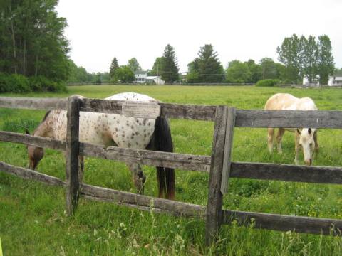
Nearby Places of Interest: Huguenot St. Historic District, State University of NY (SUNT) at New Paltz, Mohonk Preserve, Minnewaska State Park Preserve
Bike Shops/Rentals:
Lightsey
Cycles  (Gardiner; rentals, sales, service)
The Bicycle Rack
(New Paltz; sales, service)
Happy
Trails Bike Rental (New Paltz; rentals)
TRT
Bicycles (Rosendale;
rentals, sales, service)
Page Summary:
- Biking Wallkill Valley Rail Trail
- Trail at Gardiner
- Trail at New Paltz
- Sojourner Truth Park
- Downtown New Paltz - Springtown Truss Bridge
- The Bridge
- Springtown Bridge to Rosendale - Trail at Rosendale
- Rosendale Trestle
- Binnewater Kiln - Rosendale to Kingston
- Kingston Trailhead - Nearby Places of Interest
- Huguenot St. Historic District, River to Ridge Trail, Mohonk Preserve - More Information and Resources
Biking Wallkill Valley Rail Trail... Comments and Photos
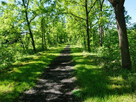
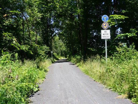
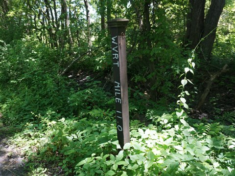
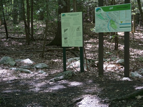
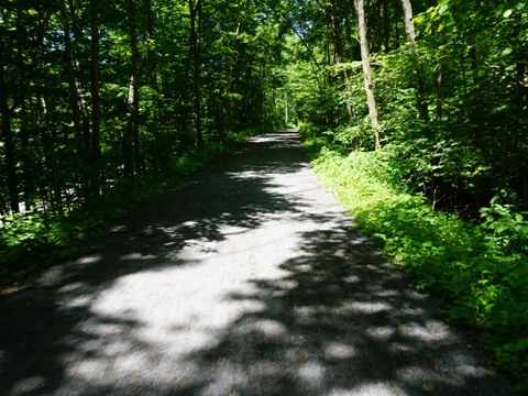
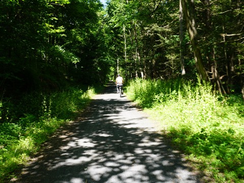
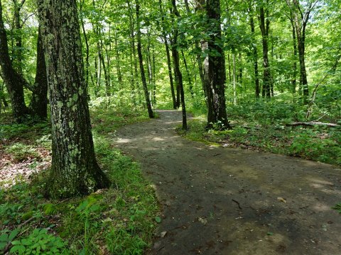
The scenic trail is unpaved, best for biking on wider tires. The southern sections are rougher, while the sections to the north have been refurbished as part of the Empire State Trail and are relatively smooth. The trail is open from dawn to dusk year-round, used by bikers, hikers, and equestrians, and in winter by snowshoers and cross-country skiers. Mile markers are located every half mile, and signage along the way gives historic information and points to places of interest. Except in the towns there are no amenities, so bring water and snacks. Here too is a special shout-out to Wallkill Valley Land Trust and Open Space Institute (links above). These two entities have been instrumental in the development of the trail, and in its upkeep and expansion.
We visited portions of the trail from south to north (Gardiner to Kingston).
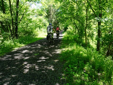
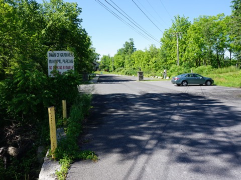
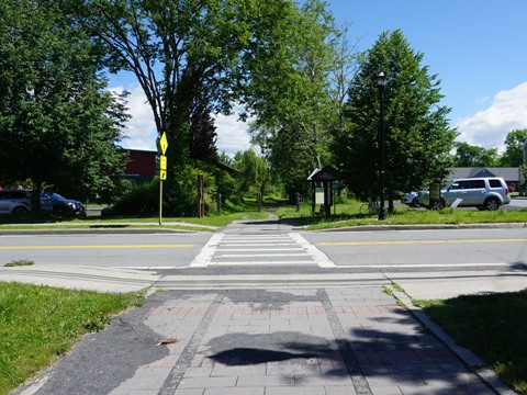
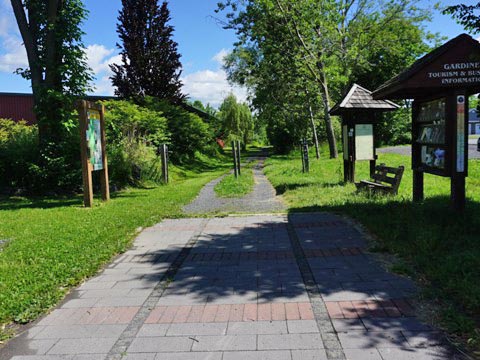
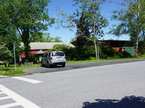
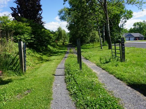
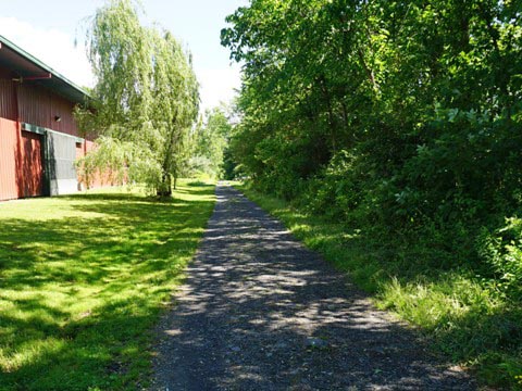
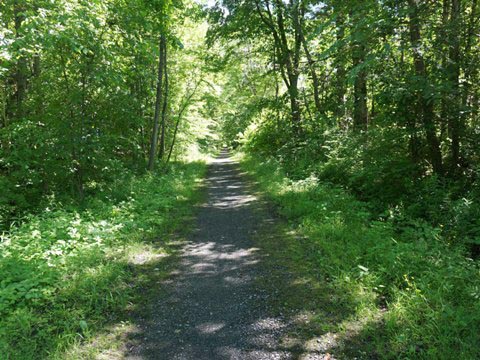
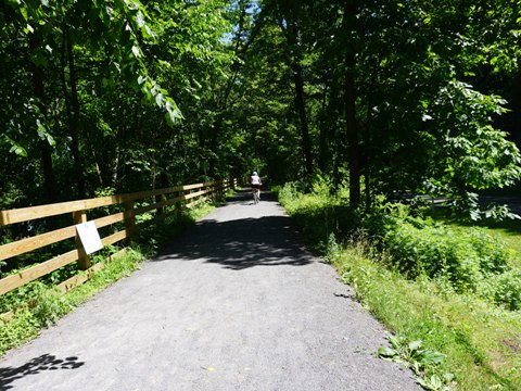
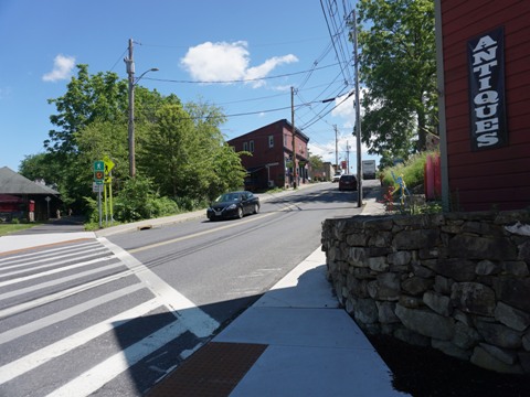
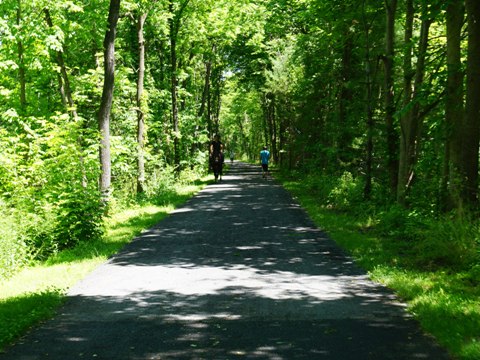
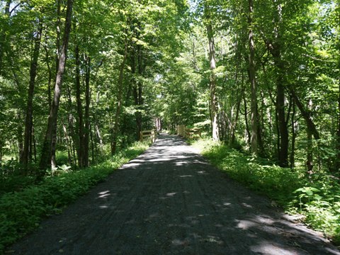
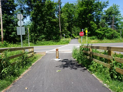
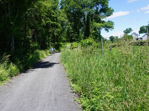
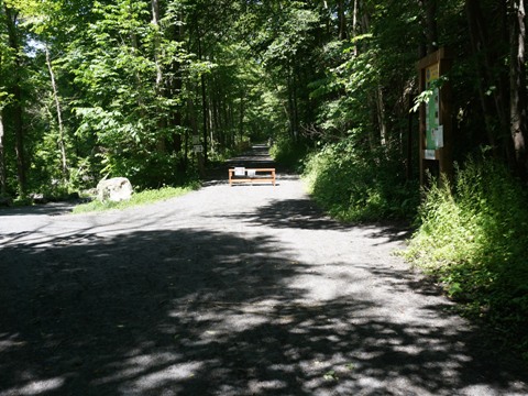
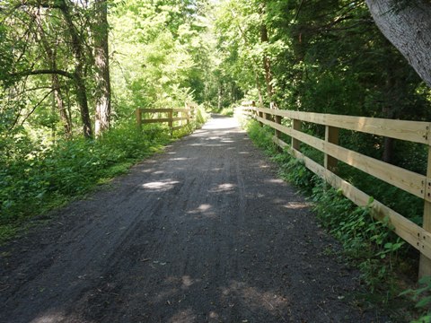
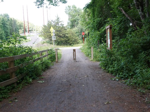
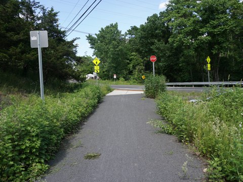
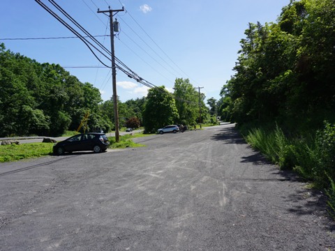
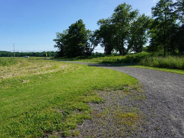
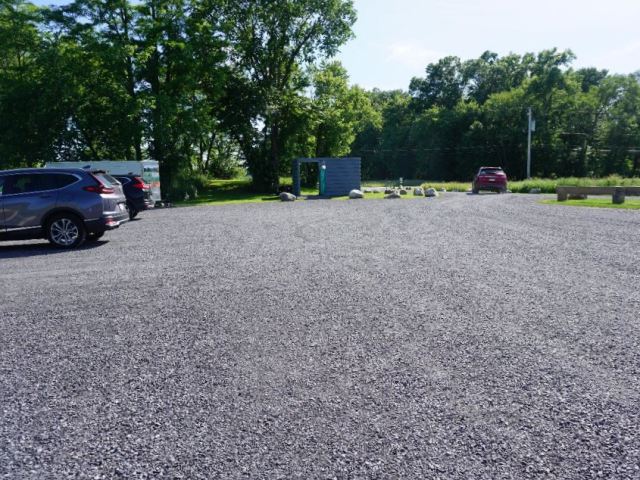
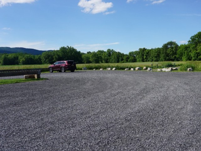
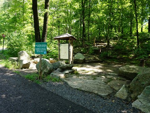
Trail at Gardiner
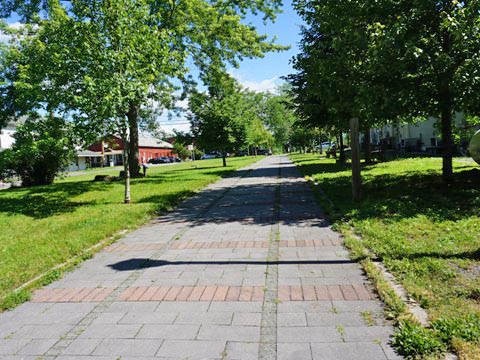
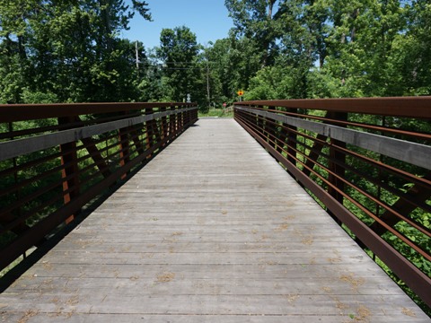
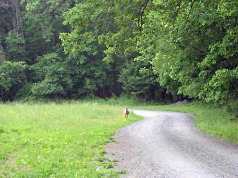
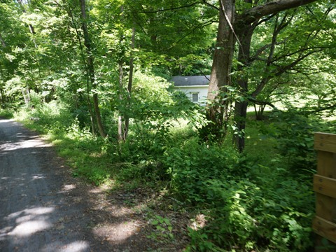
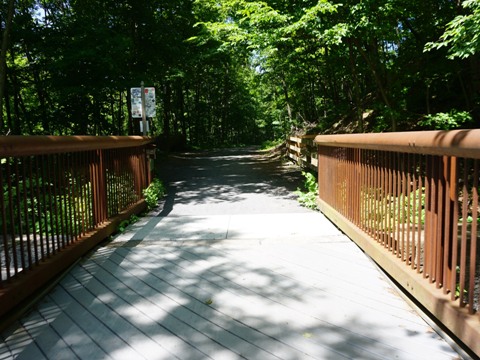
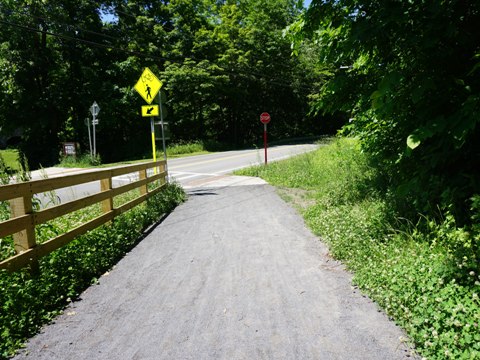
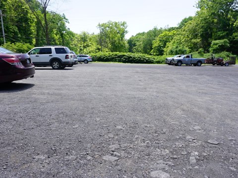
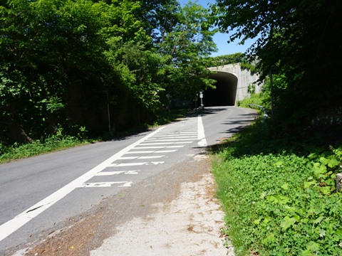
Wallkill Valley Rail Trail starts at Denniston Rd. (some roadside parking, no amenities) and runs 2.5 miles north to the Gardiner Trailhead. This section is less used and more narrow, with one road crossing at Sand Hill Rd. Most bikers start in Gardiner where parking is available at the Gardiner Library (Farmers Tpke.) and Gardiner Trailhead (2nd St. at Main St). - between the two, the trail runs on pavers for one block. The trailhead has a small parking area and information kiosk, but no other facilities. A few restaurants are nearby. Proceeding north, the trail was rocky but rideable on our fat tires. En route to New Paltz are a few road crossings, but not major roads; a bridge crosses over Forest Glen Rd. A project currently in the works will improve the surface between Gardiner and Sojourner Truth Park in New Paltz (5.5 miles).
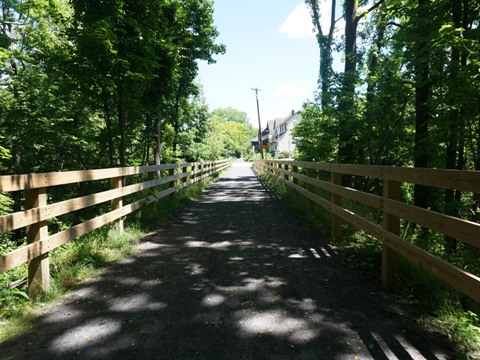
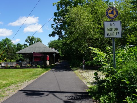
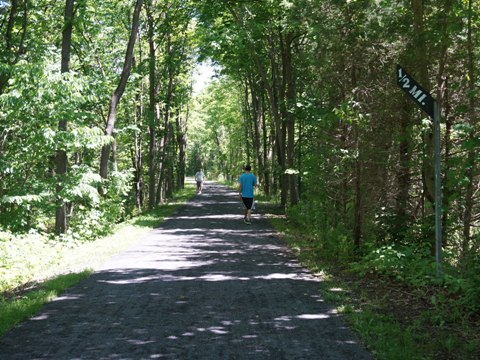
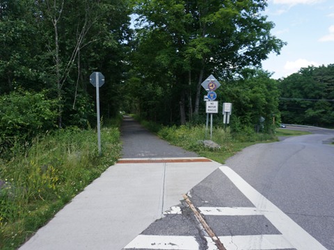
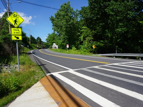
Trail at New Paltz
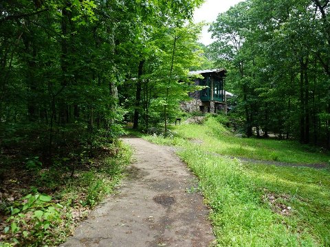
The Town of New Paltz near the center serves as a trail hub. From here, the Wallkill Valley Rail Trail meets the Hudson Valley Rail Trail then runs north as part of the Empire State Trail. To the west, it links to the River-to-Ridge Trail to Mohonk Preserve, and to the south is the Walden-Wallkill Rail Trail. New Paltz has accommodations, restaurants, shops, and historic sites. It's also home to the State University of NY (SUNY) at New Paltz.
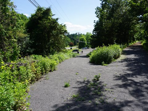
Sojourner Truth Park
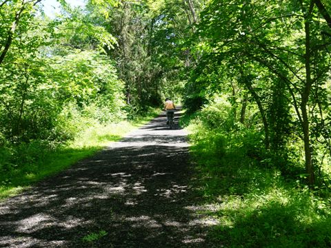
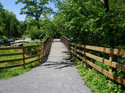
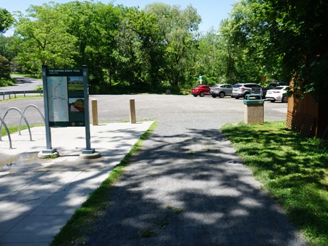
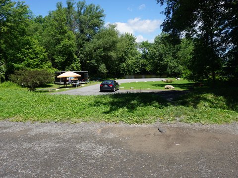
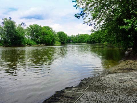
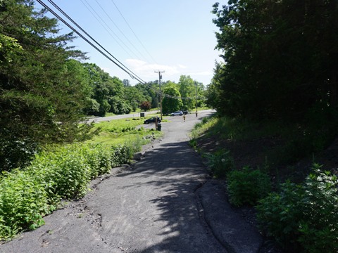
Approaching from the south, the trail parallels the Wallkill River with mixed wooded areas, farms and vineyards. Entering the town are some businesses along the way. Sojourner Truth Park lies off the trail at Plains Rd., across a footbridge to parking, fix-it station, picnic tables, portalet, and a kayak launch onto the Wallkill River (outfitter on site in season). The trail past the park has been improved, a new stonedust surface provides easier riding.
Sojourner Truth Park is named for the 19th Century
African-American abolitionist and women's rights advocate, born to
an enslaved family owned by a Dutch family in Ulster County.
More about Sojourner Truth .
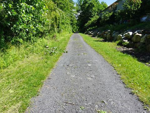
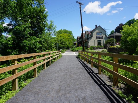
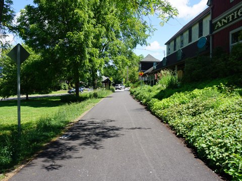
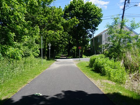
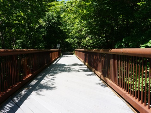
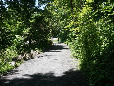
Downtown New Paltz
Through the downtown New Paltz area, the trail is paved. This is a busier area and several road crossings, the largest being Main St. (Rt. 299). Restaurants, shops, and other places of interest are nearby, the former railroad station (1870) has been refurbished and now houses a restaurant. A parking area at Broadhead Ave. is adjacent to the Huguenot St. Historic District (more below). Then at Mulberry St. is the connector to the Hudson Valley Rail Trail, from where the trail continues north as part of the Empire State Trail and the pavement ends. After crossing Huguenot St., it's about a mile through a wooded section to the Springtown Truss Bridge.
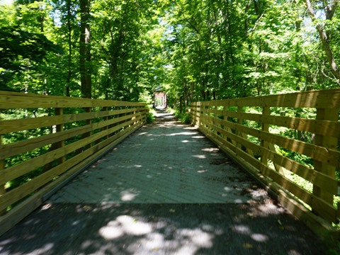
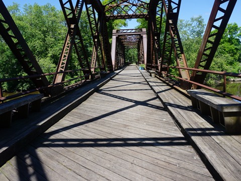
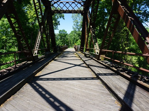
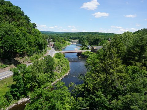
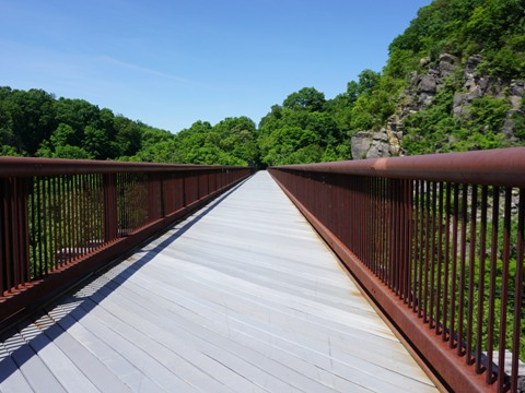
Springtown Truss Bridge
The Bridge
The Springtown Truss Bridge (about mile 10.5) is one of most photographed features on the Wallkill Valley Trail. The 413-foot bridge spans the Wallkill River, the original 1870 bridge was made of wood but rebuilt in 1880-81 using iron. The decking and benches were added in 1993 by local volunteers for use by bikers, pedestrians, and equestrians. At the end of the bridge, cross Springtown Rd.
Trivia: Scenes from the 2018 movie A Quiet Place. were filmed here.
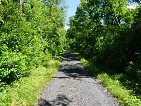
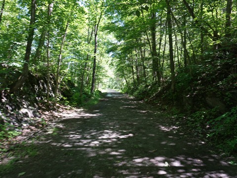
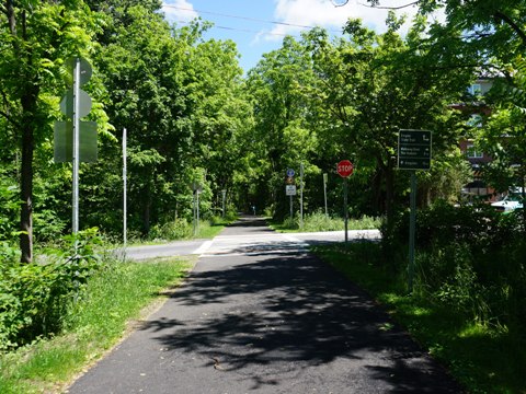
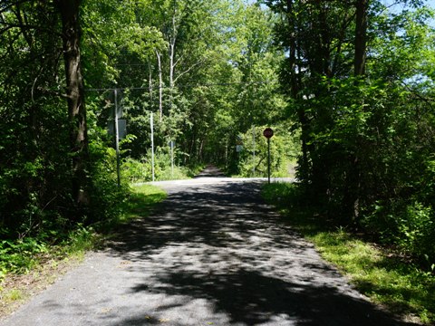
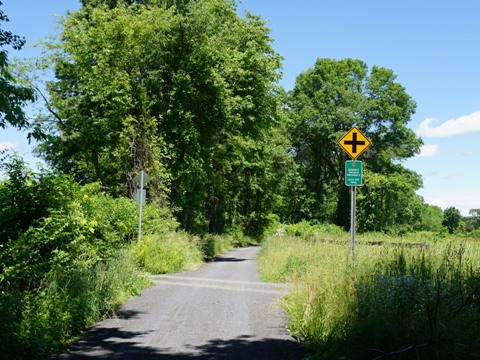
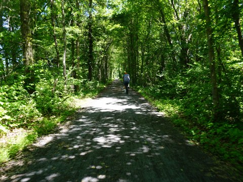
Springtown Bridge to Rosendale
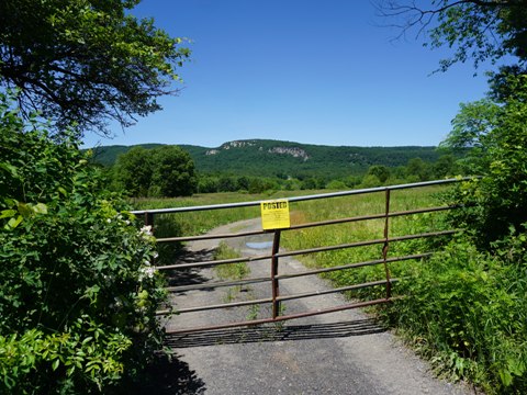
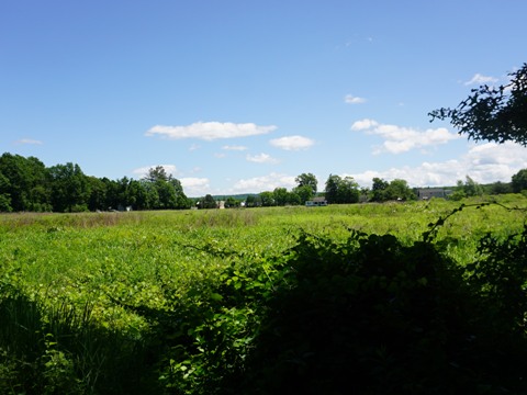
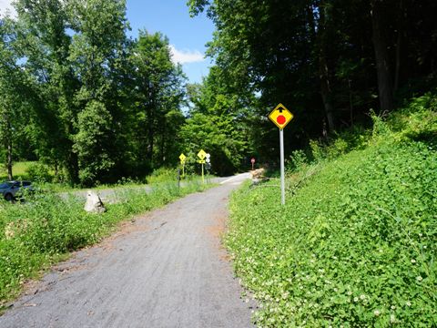
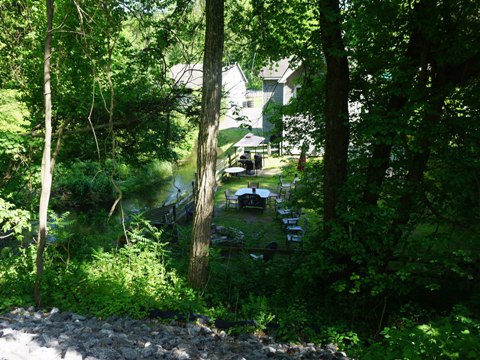
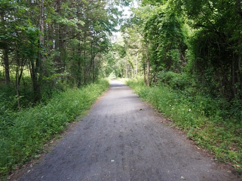
Past the bridge, it's about 2 miles to the New Paltz/Rosendale line. The trail opens up onto mixed farmland and wooded areas, with some scenic views of the Shawangunk Mountains. Signs here remind riders to remain on the trail and respect the surrounding private property.
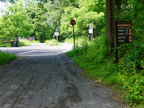
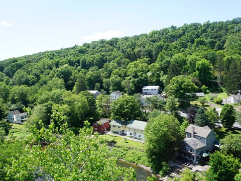
Trail at Rosendale
Limestone discoveries in 1825 led to the Rosendale area becoming a major producer of natural cement, with over a third of the cement plants in the country. Rosendale Cement was used in construction of structures such as the Brooklyn Bridge, Statue of Liberty, U.S. Capitol, Washington Monument, and many buildings as urban America grew. The original Rosendale operation shut down in 1970, the ruins of mines and cement kilns remain (the Widow Jane Mine is open to the public to visit).
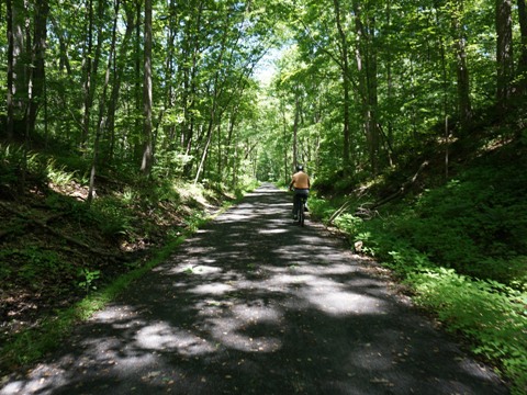
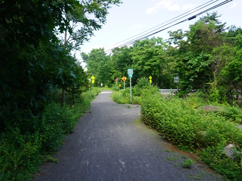
Trail to Rosendale
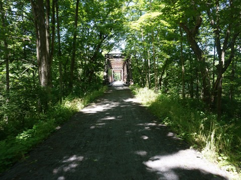
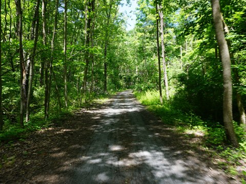
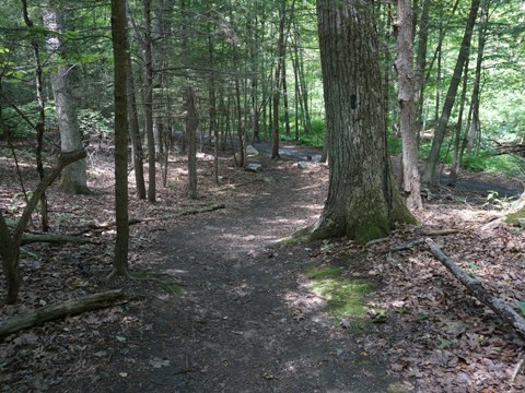
The trail to Rosendale is through a wooded area with a few glimpses of homes through the trees. Flat and on stonedust surface, an easy ride. It passes the Mohonk Preserve's Giants Ledges Pocket Park, trailhead for the Lime Kiln Trail (hiking). The Giant Ledges are a series of cliffs popular for rock climbing, with some scenic vistas. Back on the Wallkill Valley Rail Trail at about mile 15 is Mountain Road, which leads into the town of Rosendale - it's a steep path down to the town (and back), best to walk - a separate stairway for pedestrians also leads down. There are several restaurants for a refreshment stop. The Rosendale Trestle is less than 1/10 mile past here.
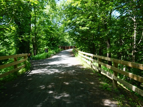
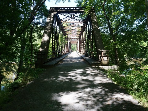
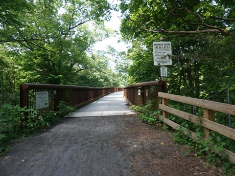
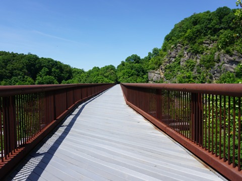
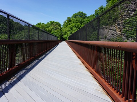
Rosendale Trestle
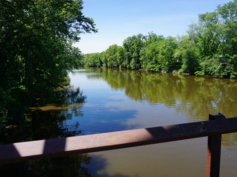
The 940-foot Rosendale Trestle is an iconic feature - when built in 1872, and at 150 feet above Rondout Creek (a tributary of the Hudson River), it was the highest span bridge in the U.S. Unused after the railroad ceased operations in 1977, it was renovated by the Wallkill Valley Land Trust and Open Air Institute and opened to the public in 2013. The trestle has sweeping views of Rondout Creek and Rosendale, and of the Shawangunk Ridge and Joppenbergh Mountain (named for Rosendale's founder, 1680). It crosses both Rt. 213 and the former Delaware and Hudson Canal.
Hint: The ride is comparable to the Walkway Over the Hudson, but without the crowds.
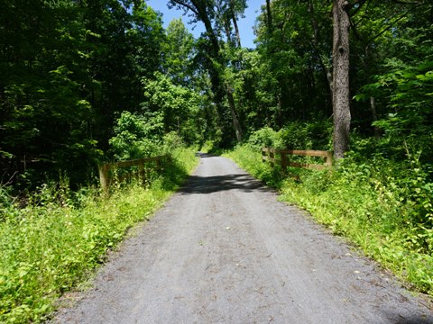
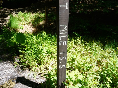
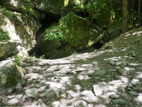
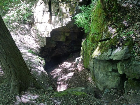
Trestle to Binnewater Rd. Trailhead
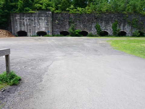
Past the bridge, it's about 4/10 mile to the Binnewater Rd. parking area - the trail parallels Binnewater Rd., but elevated (straddling Joppenbergh Mountain). At mile 15.5 we felt a wave of cold air - it was an old mine. We welcomed the break from the hot weather that day. A connector path cuts off and leads down to the Binnewater Rd. parking area (parking, no other facilities). At the back of the parking area is a wall of kilns that were used to produce Rosendale Cement.
The trail was closed at the cut-off due to some flooding washouts. At the bottom of the path, a detour along Binnewater Rd. runs about one-half mile to rejoin the trail at Breezy Hill Rd.
Rosendale to Kingston
Trail to Kingston
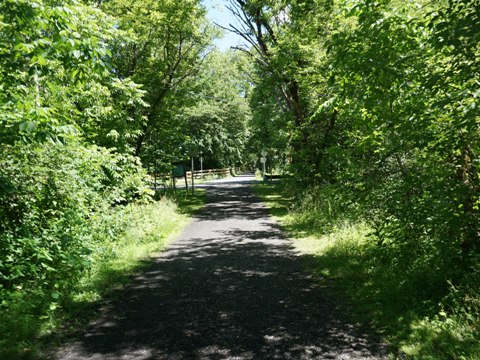
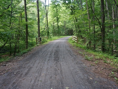
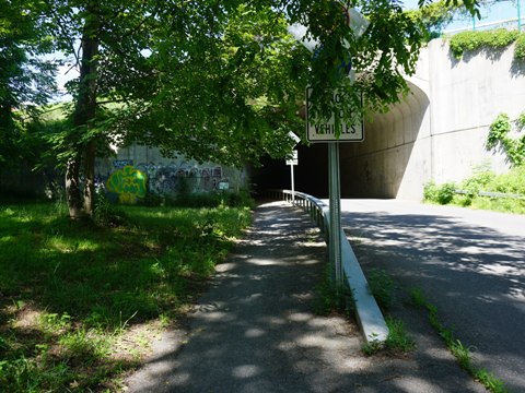
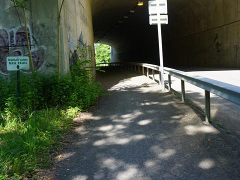
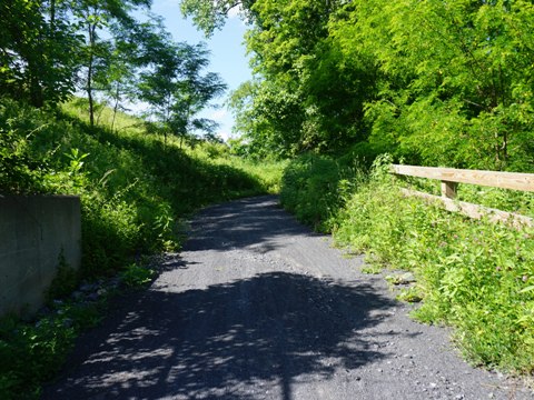
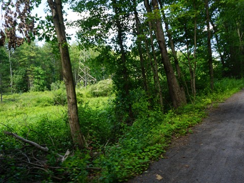
From Breezy Hill Rd. the trail runs through the Williams Lake Area, about 2.5 miles to the underpass at the NY State Thruway (I-87). It crosses Hickory Bush Rd. onto a barrier-protected bike lake under the highway. The trail continues another 3 tree-lined miles to the trailhead at Rt. 32 in Kingston. Some homes are visible through the trees in sections, then it parallels a powerline to Rockwell Lane.
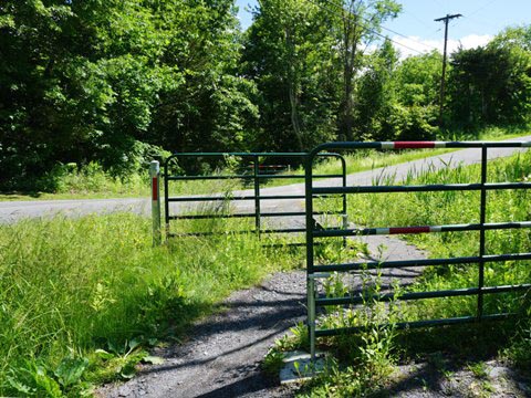
Kingston Trailhead
From Rockwell St., it's a short 2/10 mile to the trail end at Rt. 32. Just before reaching the road, a spur cuts off sharply to the right, down to the trailhead (parking, no amenities). From here the Empire State Trail continues on street routes, pending future trail development.
Nearby Places of Interest
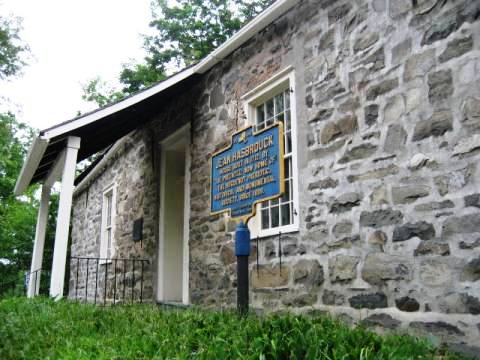
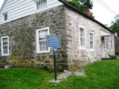
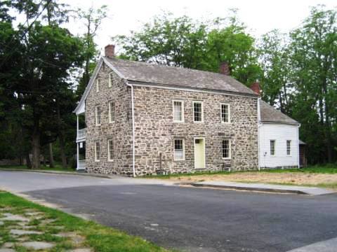
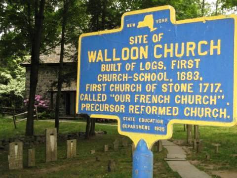
Historic Huguenot St. - New Paltz
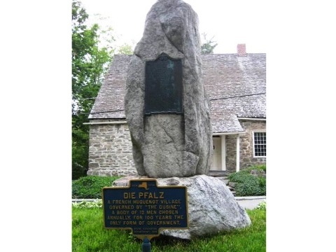
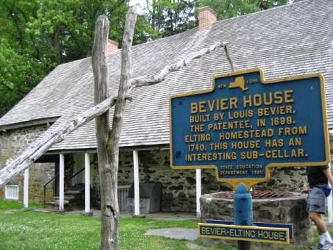
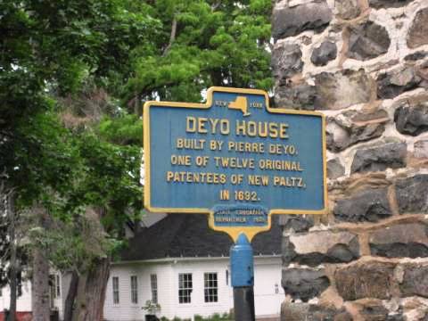
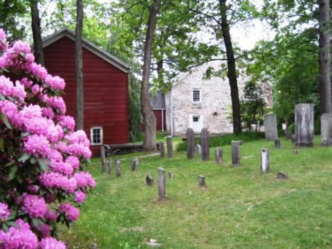
New Paltz - originally called Die Pfalz - dates to 1678, established by a group of French Huguenots fleeing religious persecution. Historic Huguenot Street, was founded in 1894 to preserve their legacy. A National Historic Landmark, the 10-acre site is the oldest continuously inhabited street in the U.S., with 7 original stone house museums and the Huguenot cemetery. Educational programs and exhibits cover over 300 years of history - French, Dutch, Native American (Munsee-Delaware Nation), and the area's slave history.
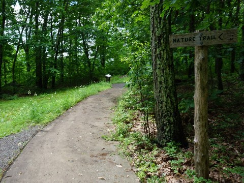
River-to-Ridge Trail
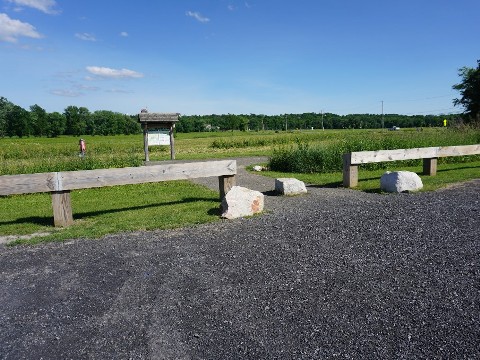
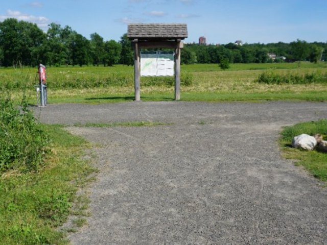
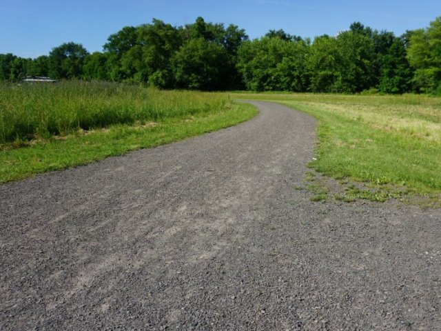
The River-to-Ridge Trail is a project the Open Air Institute in partnership with Mohonk Preserve. Starting in New Paltz, the 6-mile loop runs on gravel from New Paltz to the foothills of the Shawangunk Ridge at Mohonk Preserve. The ride features rolling hills (it's a workout), crossing small streams and through farmlands, with scenic views of the Shawangunk Ridge. We made a quick stop at the New Paltz trailhead (parking, portalet, bike repair station).
Mohonk Preserve
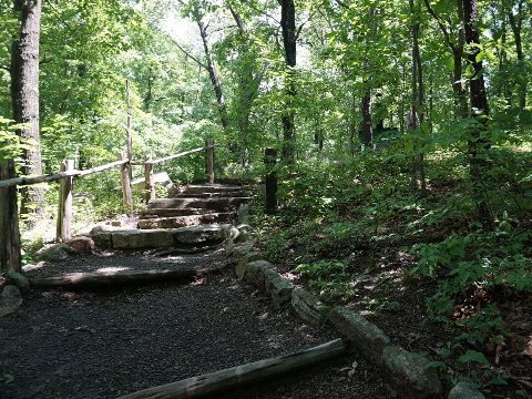
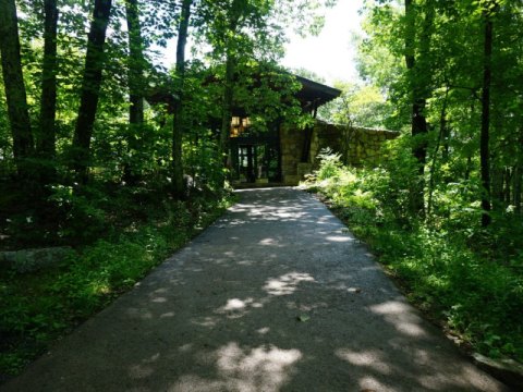
The 8,000-acre Mohonk Preserve on the Shawangunk Ridge features 70 miles of carriage trails for biking, and more trails for hiking only. Other activities are rock climbing (including rugged "scrambles") in The Gunks, horseback riding, skiing and snowshoeing. A non-profit nature preserve, it also plays an important role in conservation. Camping is available at the Samuel F. Pryor III Shawangunk Gateway Campground. Annual membership or day fee required. We stopped at the Visitor Center (parking, restrooms, and information). A few easy walking trails run from here. An accessible path is available from the parking area, but we used the stone steps.
- Nearby Mohonk Mountain House is a resort hotel. Starting as a small lodge in 1870 and enlarged over the years, it's a designated National Historic Landmark.
- The Shawangunk Ridge (aka Shawangunk Mountains, or more fondly "The Gunks") are a ridge of bedrock that runs from High Point State Park in New Jersey to Mohonk Preserve (continuation of a ridge that starts in Virginia as part of the Appalachian Mountains). Once mainly used for mining and logging, today much of it is protected lands, and it's known as one of the prime rock climbing destinations in North America with over 100,000 climber visits per year.
More Information and Resources
Nearby Biking:
Hudson Valley Rail Trail
Empire State Trail -
Manhattan to Albany, Canada, and Buffalo
Bike-New York
- More bike trails and information about biking in New York State
Related Resources:
Wallkill Valley
Land Trust -
Wallkill Valley Rail Trail
Empire State Trail - Wallkill Valley Rail Trail
Support and Advocacy:
Wallkill Valley
Land Trust
Open Space Institute
Scenic Hudson
Copyright © BikeTripper.net. All Rights Reserved. Have Bikes - Will Travel