Bike Tripper
Have Bikes, Will Travel
Bike Trail Maps & Photos Galore
You are here > Home >
Maine >
Down East Sunrise Trail
Reported: September 2019
Down East Sunrise Trail...
Part of the East Coast Greenway
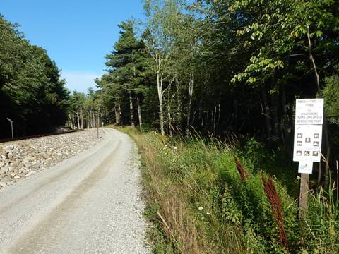
The Down East Sunrise Trail (DEST) is built on the railbed of the old Calais Branch of the Maine Central Railroad. It stretches 96 miles in the Downeast Coastal Region of Maine from Ellsworth to Perry. It's also the longest off-road section of the East Coast Greenway (Calais, Maine, to Key West, Florida) - only a short section at Ellsworth is paved, this is fat-tire biking. The multi-use trail is heavily used by ATV-ers (be watchful), but also bikers, hikers, snowmobiles, cross-country skiers, and horseback riders. Its varied and scenic landscape includes forest, mountain views, and marsh with a wide variety of wildlife. 28 bridges cross salmon-filled rivers and streams. (Detailed map and photos below.)
Location: Hancock and Washington Counties, ME (See map)
Distance: 96 miles
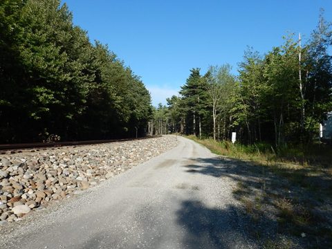
Surface: Crushed stone, gravel, short paved section
Support/Advocacy:
Sunrise Trail Coalition 
Bike Shops/Rentals:
The Activity Shop  (Blue Hill; rentals)
Biking on the Down East Sunrise Trail
The original trail is usually described in 3 sections: Western (28 miles, Washington Junction to Cherryfield), Central (29 miles, Cherryfield to Machias), and Eastern (28 miles, Machias to Ayers Junction). Extensions now run 2 miles to Ellsworth at the west and 9 miles to Perry at the east where it meets the Sipayik Trail
Trail at Ellsworth
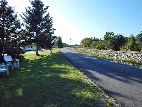
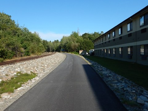
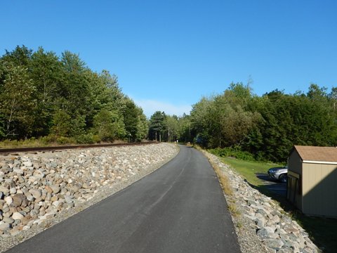
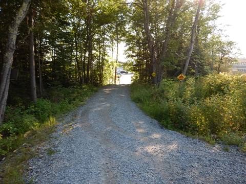
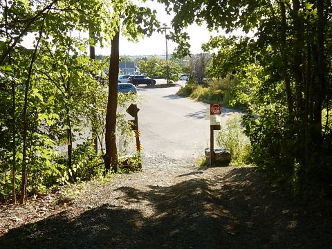
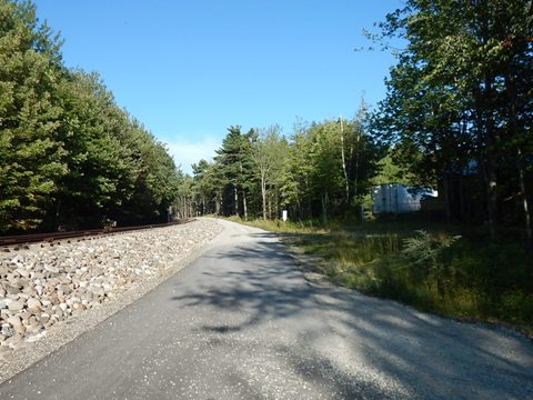
We visited a short section at Ellsworth - the only paved section, it quickly turned to gravel. Parking is in a lot behind the LL Bean store. The main trailhead is at Washington Junction, 2 miles north.
More Information and Resources
More Biking:
Bike-Maine
- More bike trails and information about
biking in Maine
Related Resources:
Sunrise
Trail Coalition - Down East Sunrise Trail 
Maine Bureau of Parks & Lands - DEST Trail Guide 
Copyright © BikeTripper.net. All Rights Reserved. Have Bikes - Will Travel
