Bike Tripper
Have Bikes, Will Travel
Bike Trail Maps & Photos Galore
You are here > Home >
Georgia >
Silver Comet Trail
Reported: Sept. 2018
Silver Comet Trail...
Premier Georgia Biking
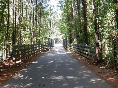
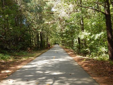
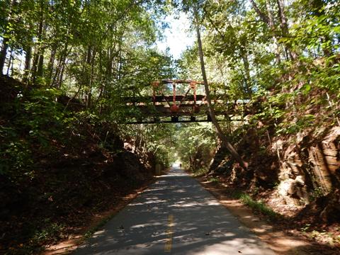
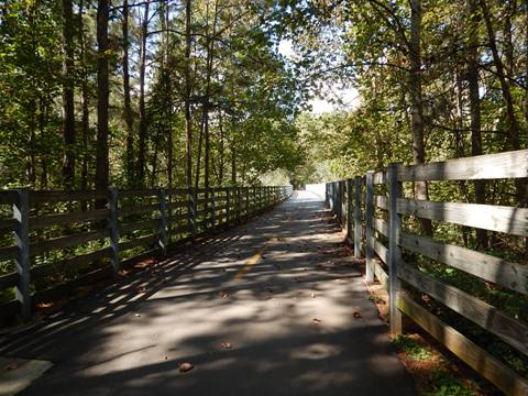
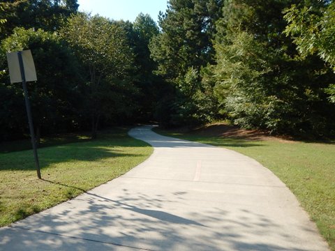
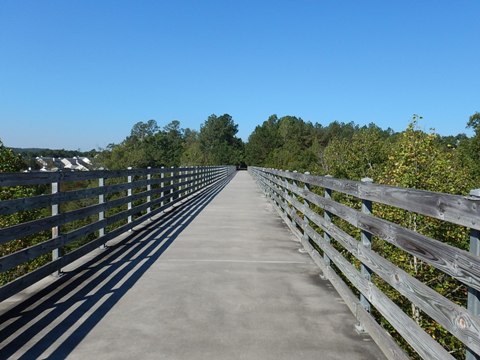
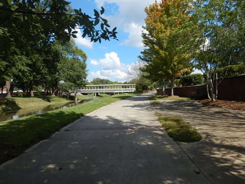
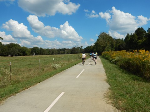
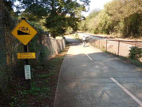
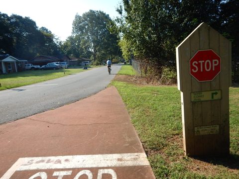
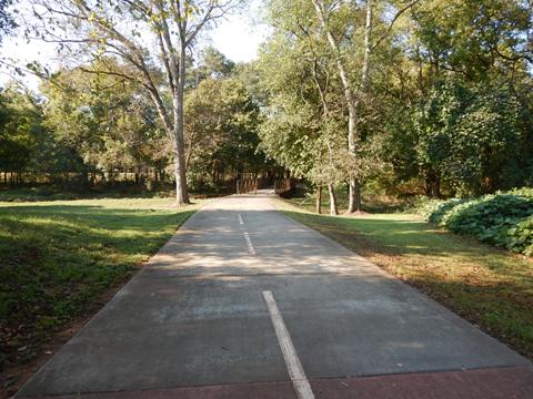
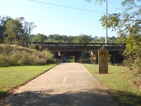
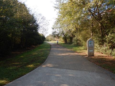
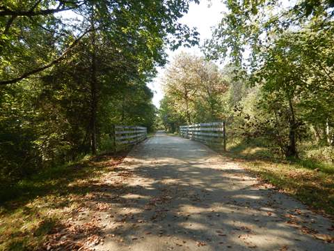
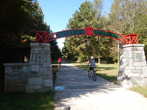
The Silver Comet Trail runs 61.5 miles from Smyrna, GA, west to the Alabama State Line where it links to the 32.5 mile Chief Ladiga Trail - together forming one of the longest continuous paved rail-trails in the U.S. Built on the bed of the old Seaboard Airline Railroad and named after the luxury Silver Comet passenger train, the trail goes over trestles and through a railroad tunnel from the railroad's past. Amenities abound along the length of the trail. (Detailed map and photos below.)
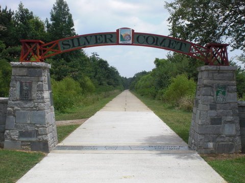
Location: Cobb, Paulding, and Polk counties, GA (See map)
Distance: 61.5 miles
Surface: Paved
Support and Advocacy:
Path
Foundation 
Bike Shops/Rentals:
Smyrna Bicycles
 (Smyrna;
rentals, sales, service)
Boneshaker Bicycles  (Powder Springs; rentals, sales, service)
Cycology Bike Shop
 (Hiram; sales,
service)
Biking the Silver Comet Trail - East to West
We didn't bike all of this long trail, but visited sections as described below.
Mavell Road (MM 0.0) to Concord Road (MM 2.6)
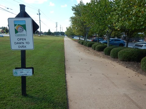
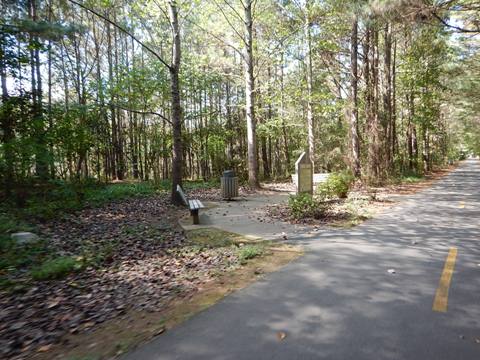
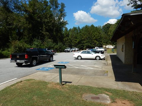
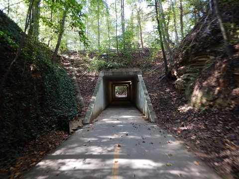
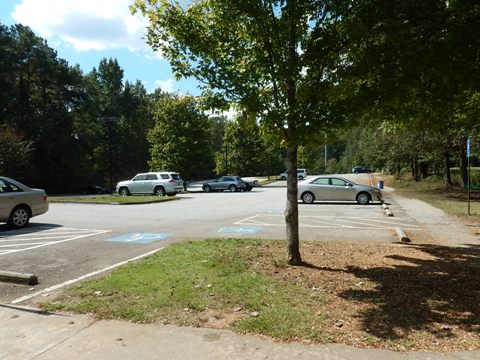
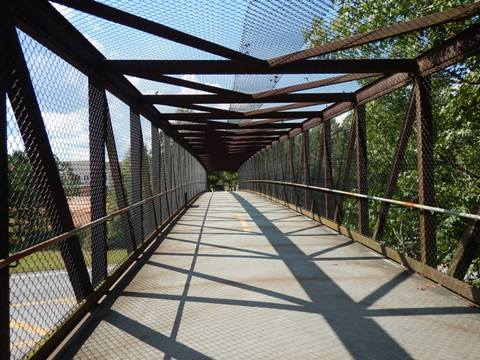
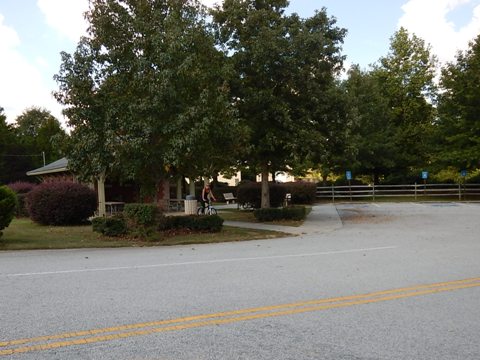
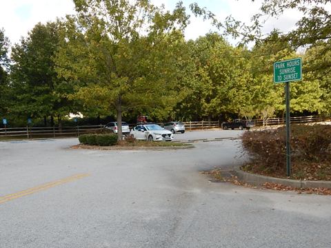
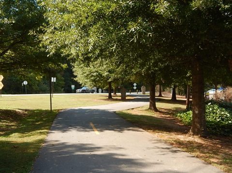
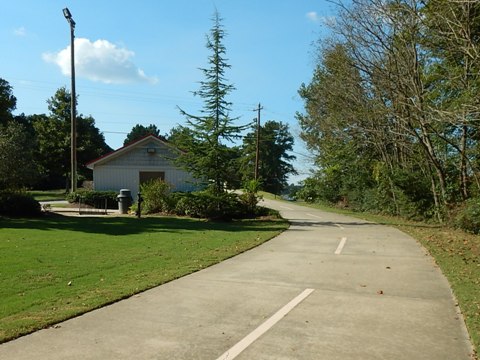
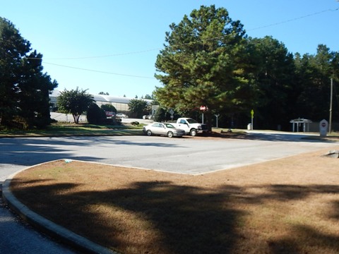
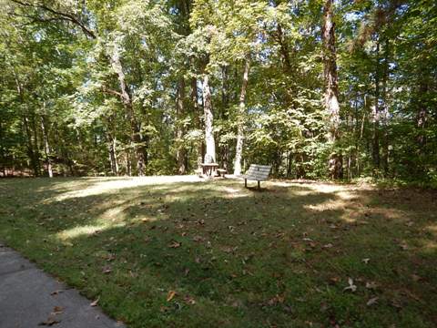
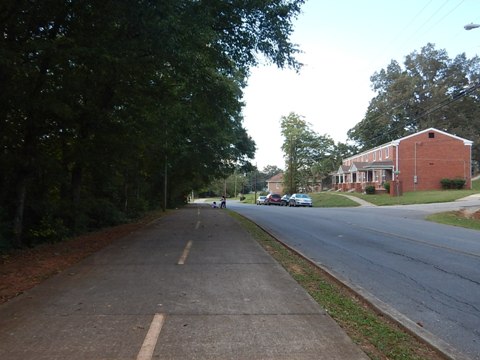
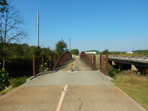
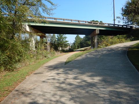
The trail officially starts at Mavell Road in Smyrna, GA, but an extension (an eventual link to other Atlanta trails) adds a mile from South Cobb Road. Mavell Road Trailhead has parking, restrooms, and picnic tables. From Mavell to Concord Roads the trail parallels the East-West Connector but a wide wooded buffer masks the road, with bridges and underpasses at crossroads. Concord Road Trailhead has parking, restrooms, and picnic tables.
Concord Road (MM 2.6) to Floyd Road (MM 4.2)
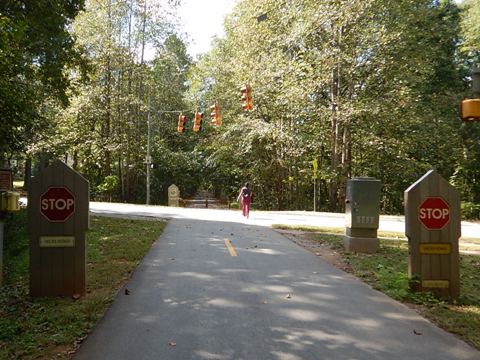
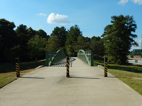
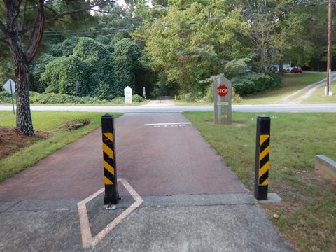
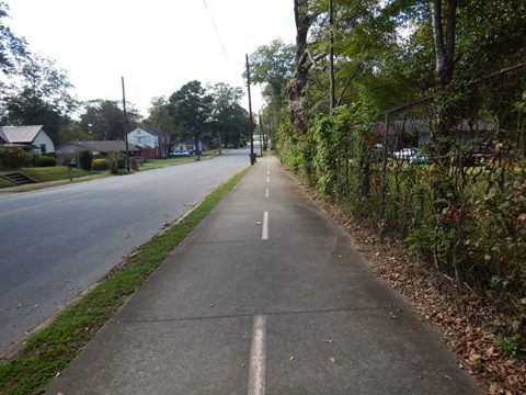
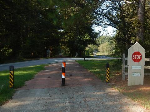
Continuing to Floyd Road are a bridge and underpass, but also crosswalks at busy roads. Floyd Road Trailhead has parking and restrooms.
Florence Road Trailhead (MM 11.7)
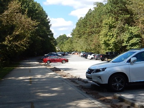
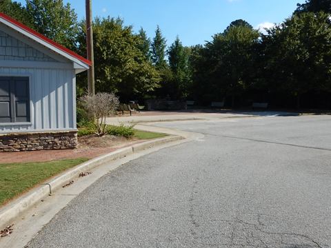
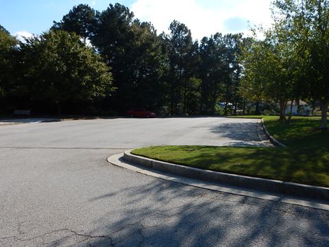
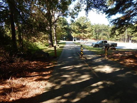
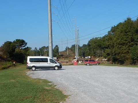
Trailhead has ample parking with overflow lot, restrooms, picnic
Tara Drummond Trailhead (MM 20.3)
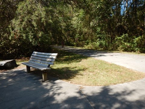
The trailhead has parking, benches and restrooms. The park is dedicated to Tara Drummond, a police officer killed in a training accident in 2005.
Rambo Trailhead (MM 22.2) Across Pumpkinvine Creek Trestle (MM 23)
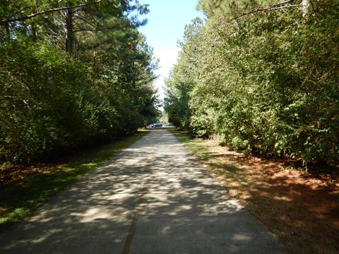
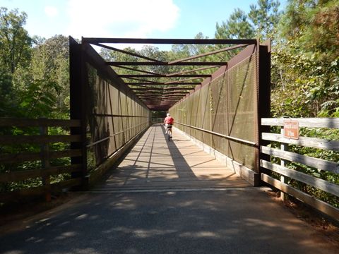
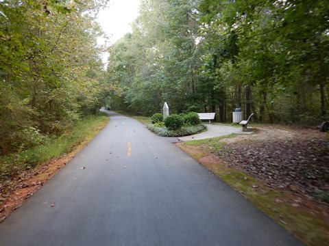
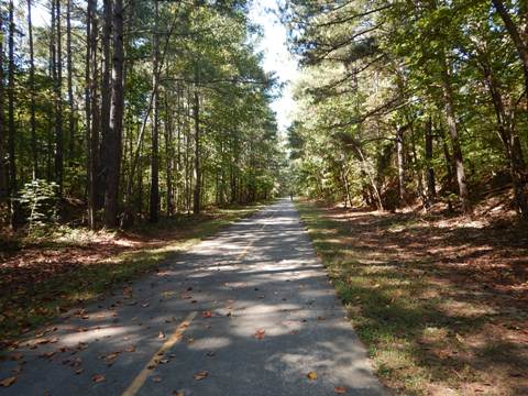
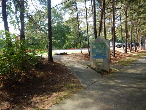
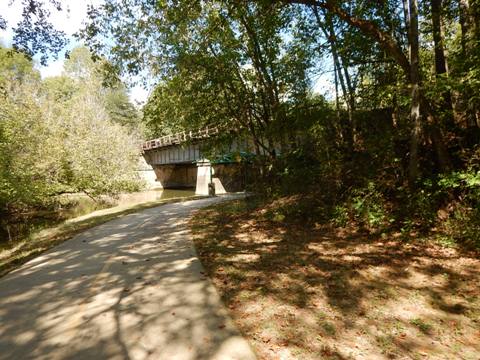
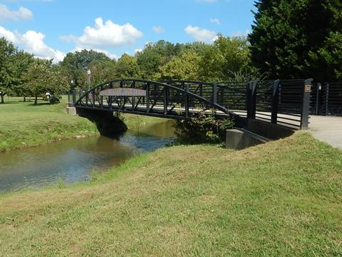
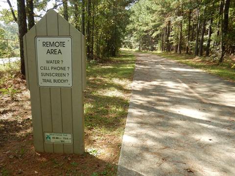
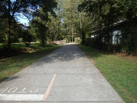
The trailhead has parking, picnic tables and portalet. The Pumpkinvine Creek Trestle runs 750 feet; built in 1901, it was restored in 1999 and opened to the Silver Comet Trail in 2000. Past here the trail is more remote, running though Paulding Forest.
Bushy Mountain Tunnel (MM 30.9) to Coots Lake Trailhead (MM 33.5)
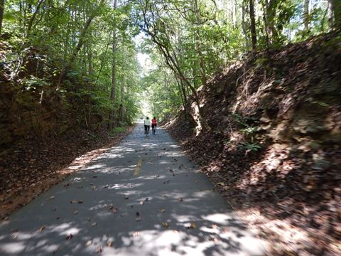
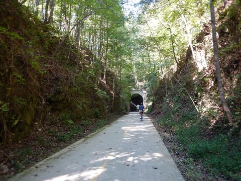
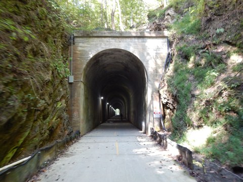
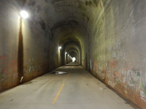
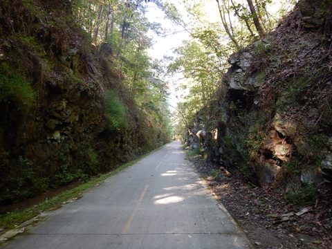
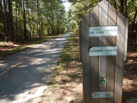
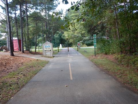
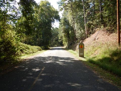
The lighted tunnel (1912) runs 800 feet. The Coots Lake Trailhead has parking and a portalet, plus access to a public beach. Scenic forested section with interesting rock formations.
Trail at Rockmart (MM 37.6)
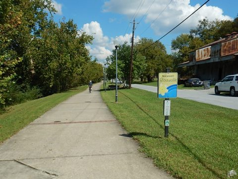
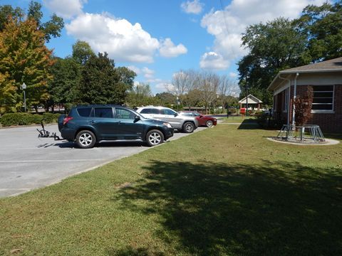
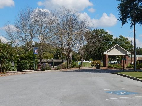
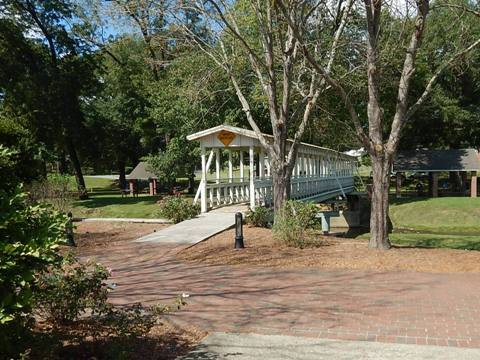
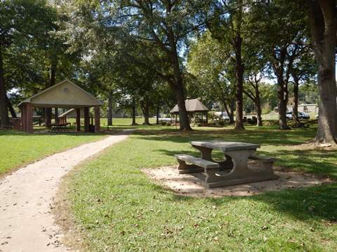
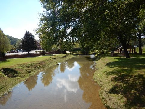
The trail enters town through "Ma White's Bottoms" (the bottom lands along Simpson Creek) and combines with Riverwalk Park. Be careful of pedestrians. The trailhead has parking and restroom, and is near shops and restaurants. Seaborn Jones Park across the creek from the trailhead has parking, restrooms, and picnicking.
Leaving Rockmart
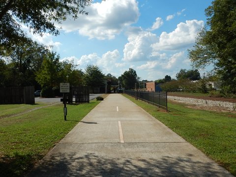
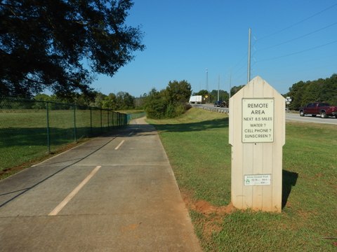
Leaving Rockmart, the trail runs alongside US 278 (Cedartown Hwy.) for about 2.7 miles before turning off toward Cedartown. From here, the trail runs alongside the railroad tracks (the train is still active) to Don Williams Trailhead.
Don Williams Trailhead (MM 44.8) to Cedartown (MM 51.4)
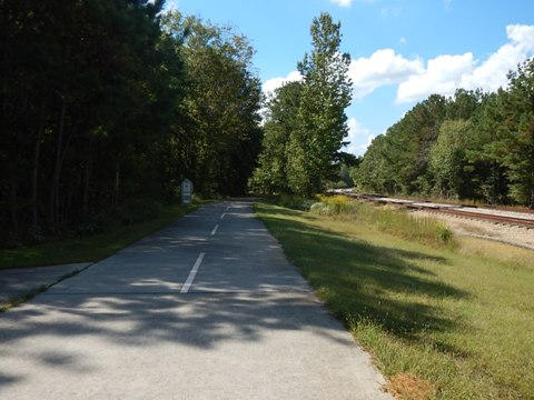
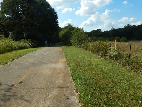
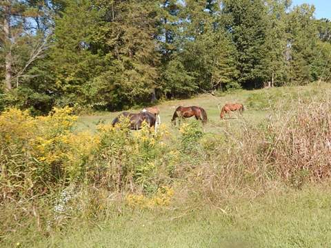
Don Williams Trailhead has parking and a portalet; nearby Camp Comet has camping. The trail continues to parallel the railroad tracks to Grady Road Trailhead (MM 45.8). Past Grady Road the trail runs through a more remote area with some steep hills - be careful. Leveling off, it continues to parallel the railroad tracks and passes farmlands before arriving at Cedartown.
Cedartown (MM 51.4)
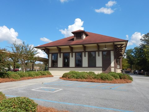
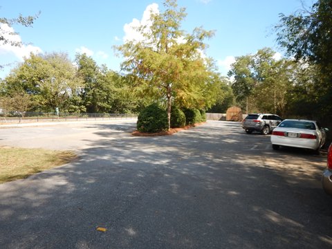
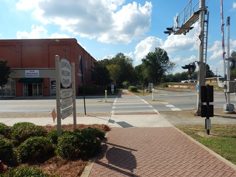
Entering Cedartown, the trail goes through a commercial area and runs streetside for about 1/2 mile. The restored Cedartown Depot serves as trailhead with parking, restrooms, and a Silver Comet museum.
Cedartown (MM 51.4) to Martin Trailhead (MM 53.4)
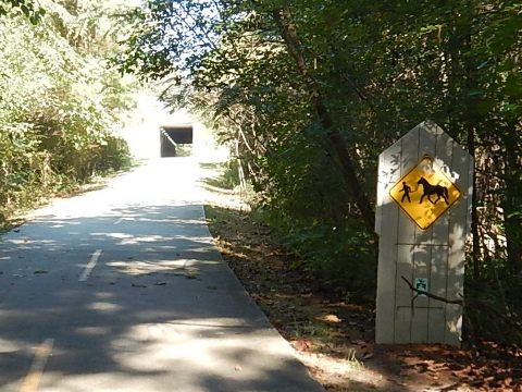
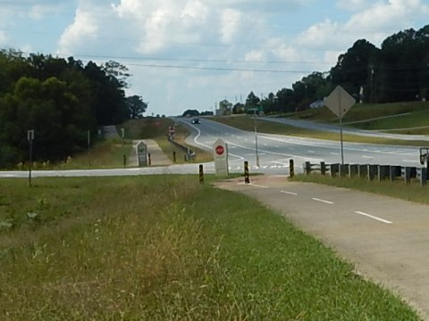
The trail follows the railroad track through Cedartown before turning back to US 278, including two blocks of street riding. It then parallels the roadway to Martin Trailhead. The trailhead is actually located across the road, connected through an underpass. Parking and a portalet are available.
Martin Trailhead (MM 53.4) to Esom Hill Trailhead (MM 61.2)
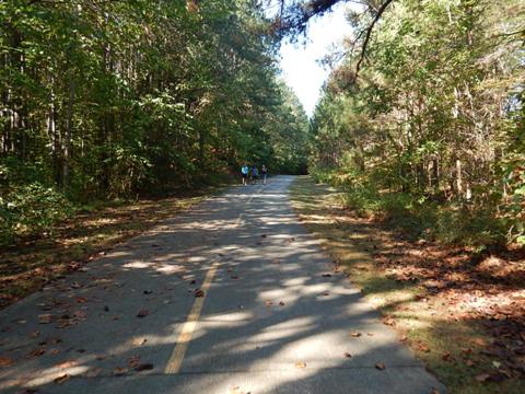
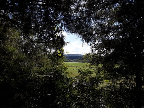
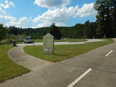
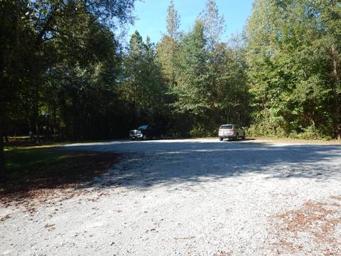
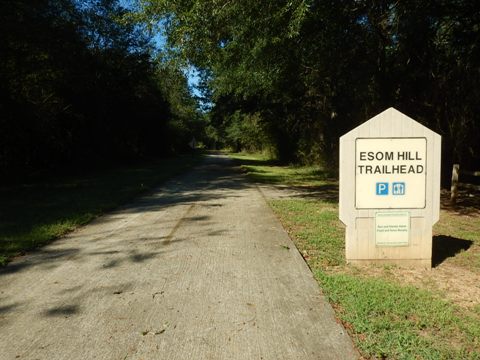
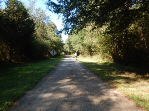
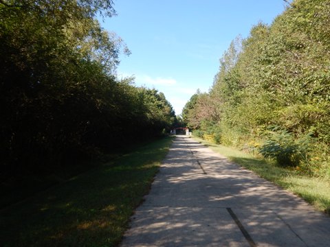
This is a very remote section, quiet and scenic. Not as heavily visited, there was a lot of debris on the pavement. Esom Hill Trailhead has parking but no facilities.
Esom Hill Trailhead (MM 61.2) to Georgia/Alabama State Line (MM 61.5)
It's 0.3 miles from Esom Hill Trailhead to Gateway Park at the State Line and the start of the Chief Ladiga Trail. Gateway Park has picnic tables, there is no vehicle access.
More Information and Resources
Nearby Biking:
Chief Ladiga Trail (Alabama)
Bike-Georgia - More bike trails and information about biking in Georgia
Related Resources:
PATH
Foundation - Silver Comet Trail 
Silver Comet Trail at
www.silvercometga.com 
Silver Comet Trail at
www.bikesilvercomet.com 
Copyright © BikeTripper.net. All Rights Reserved. Have Bikes - Will Travel
