Bike Tripper
Have Bikes, Will Travel
Bike Trail Maps & Photos Galore
You are here > Home >
Georgia >
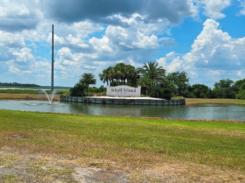
Jekyll Island
Latest update: September 2025
Jekyll Island...
Georgia Coastal Biking
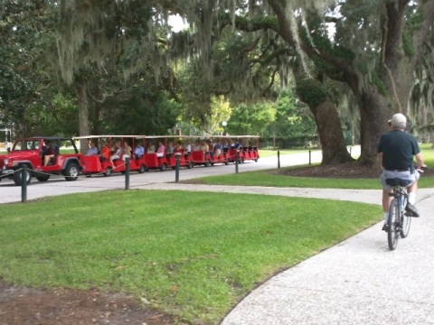
Jekyll Island is a barrier island in Georgia's Golden Isles. We've visited often en route to Florida, it's a great place to relax and unwind after a bike-tripper adventure. Although just 7 miles long by 1.5 wide, 25 miles of trails circle the entire island, and biking is a popular way to get around. The trails and other connectors intersect and crisscross, linking to all areas of the island, including beaches, accommodations, restaurants, and shopping. A ride at Jekyll Island is also a ride through history, with many historic markers and sites. A parking pass (daily, multi-day, annual) is required to visit and park on the island (bikes and pedestrians free). (Detailed map and photos below.)
Location: Glynn County, GA (See map)
Distance: 25 miles of bike trails and paths
Surface: Paved and unpaved, boardwalk
Trailheads/Parking: Jekyll Island Causeway, parks,
beaches, fishing pier
Nearby Places of Interest: Mosaic Jekyll Island
Museum, Georgia Sea Turtle Center, Wanderer Memory Trail
Bike Shops/Rentals:
See list here 
Page Summary:
- Biking at Jekyll Island
- Jekyll Island Causeway
- Visitor Center - Historic District Trail
- Jekyll Island Historic District, Cottages
- Riverside Park, Ben Fortson Pkwy. - North Loop Trail
- Horton House / DuBignon Cemetery
- Clam Creek and Jekyll Island Fishing Pier - Oceanview Trail
- Great Dunes Beach Park
- Beach Village - South Loop Trail
- St. Andrews Beach Park - Golf Course Trails
- Glimpses of Golf Courses Trail
- Shell Road Trail - A Walk on the Beach
- More Information and Resources
Biking at Jekyll Island... Comments and Photos
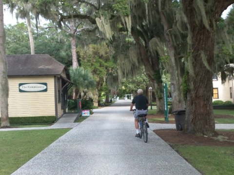
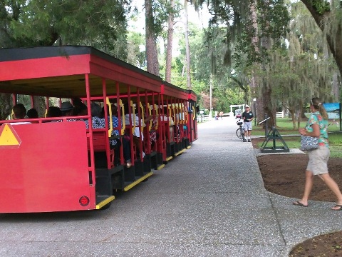
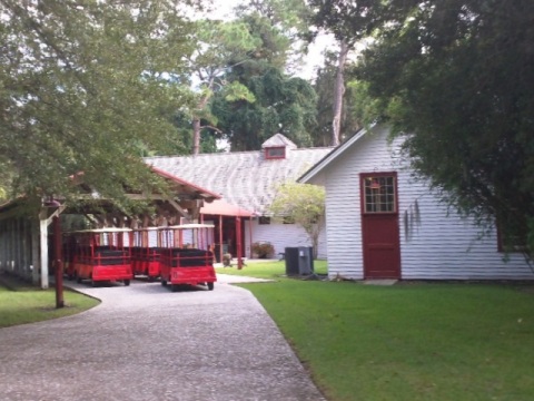
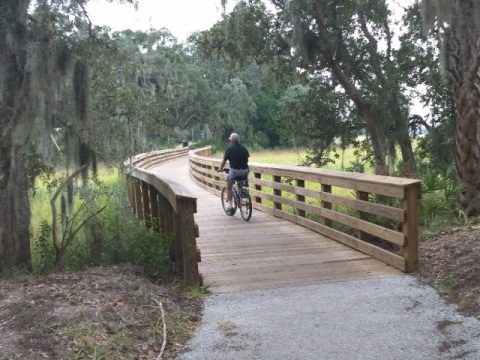
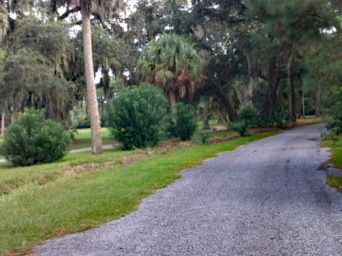
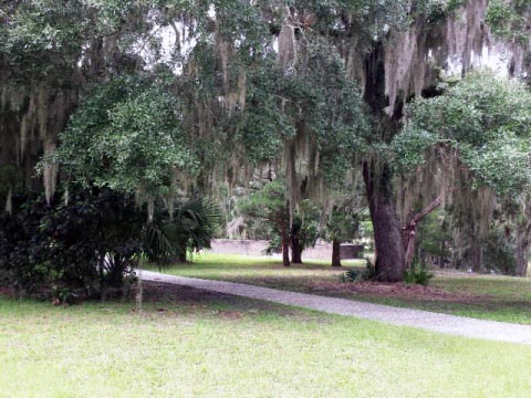
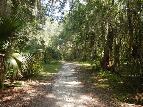
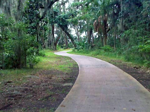
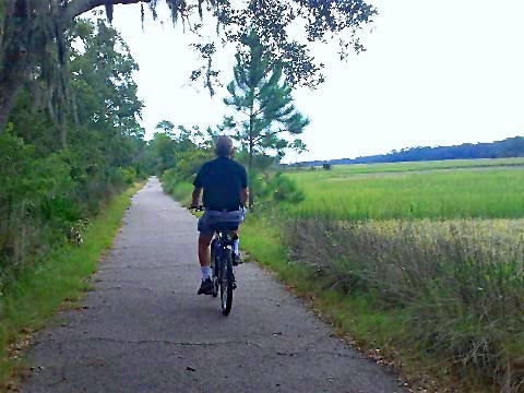
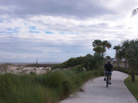
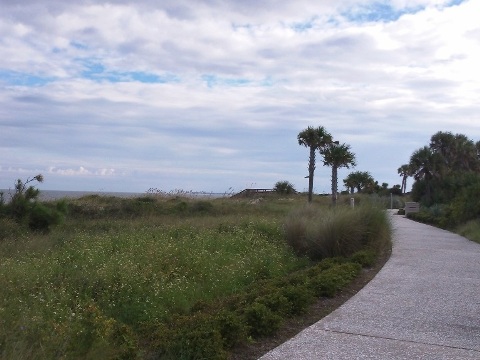
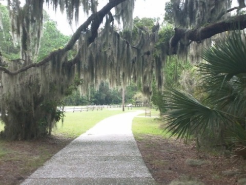
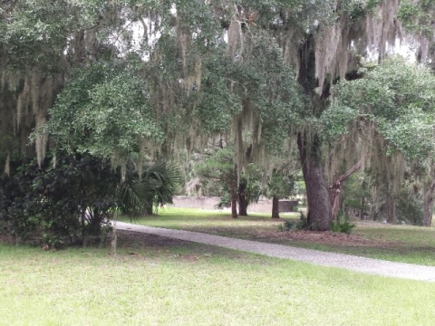
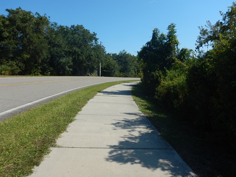
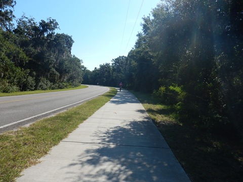
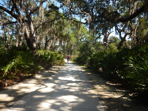
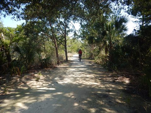
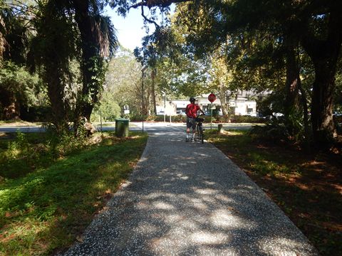
The trail system includes the Historic District Trail, the North Loop Trail, the Oceanview Trail, the South Loop Trail, and other connectors and branches. The trails are flat and well maintained for biking and walking. The majority of the trail system is paved, much runs roadside. Other sections run on boardwalks, crushed shell, or sand - scenery is diverse, from beach to marsh to maritime forest. The many live oaks provide a lot of shade, but remember to bring water. Bike, trike, surrey and golf cart rentals, and trolley tours are available. Class 1 e-bikes are allowed.
Note: Biking at low tide is possible in some areas with the right tires, but we stay on the trails.
- Once a winter retreat for the wealthy, the island today is a Georgia State Park - by law, 65% of the island including parks and picnic areas must remain in a mostly natural state.
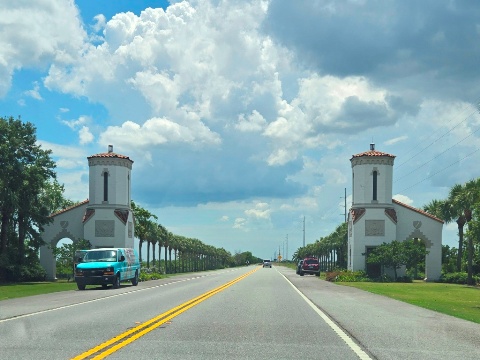
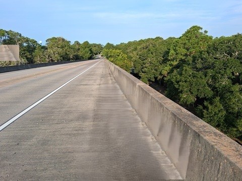
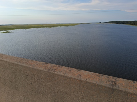
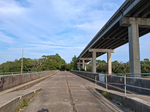
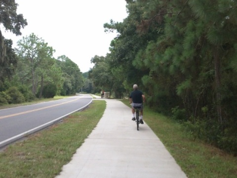
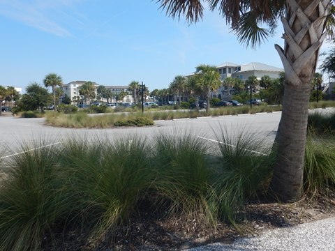
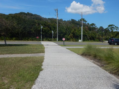
Jekyll Island Causeway
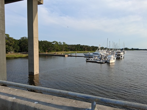
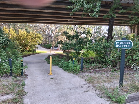
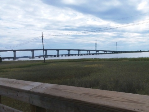
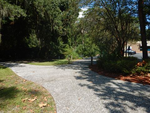
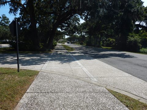
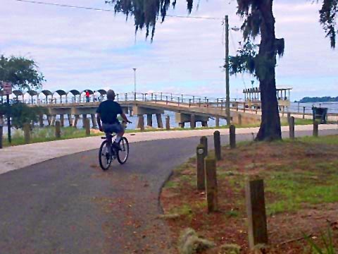
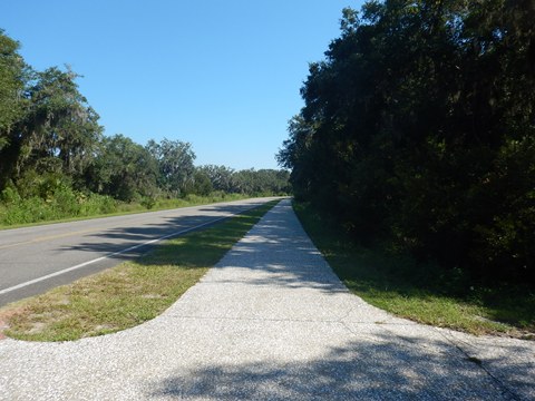
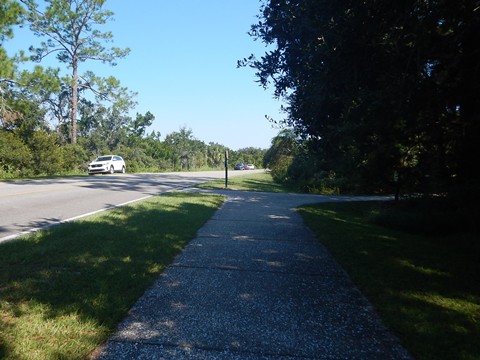
From US 17 in Brunswick, just south of the Sidney Lanier Bridge, the Jekyll Island Causeway runs along SR 520 about 6 miles to the island. Stopping at the Jekyll Island Guest Information Center along the way (4 miles) is recommended to pick up copies of the handy bike maps. From there, a pathway parallels the roadway, crossing the Thompson Memorial Bridge over Jekyll Creek. The old bridge (trail parking available) is now a fishing pier, and a bike trail runs to the Marina. The pathway meets the Historic District Trail at Riverview Drive.
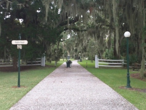
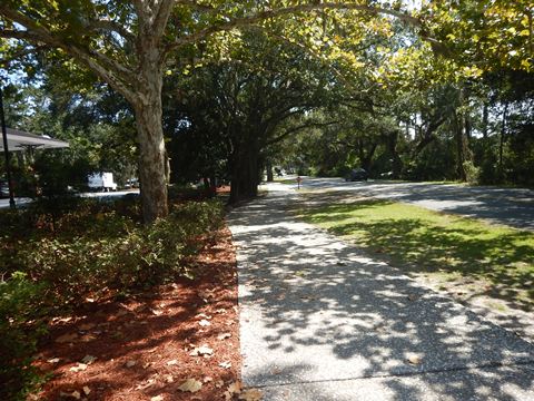
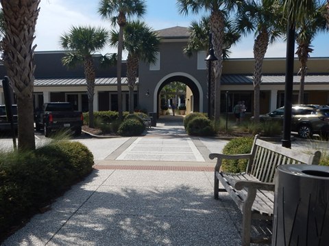
Historic District Trail
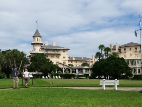
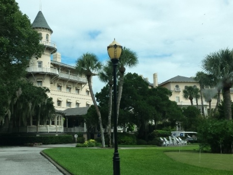
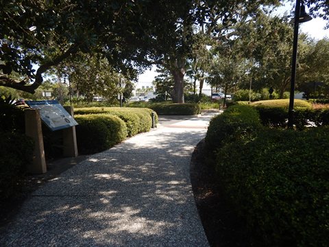
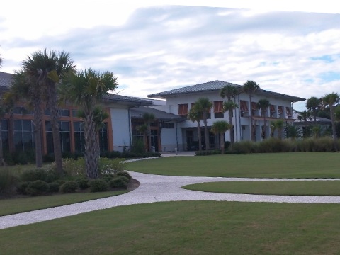
Along the Jekyll River and paralleling Riverview Drive, the paved Historic District Trail runs about 2 miles between the North Loop and Oceanview Trails. It winds around the Jekyll Island Club Resort and surrounding dining, shopping, cultural and historical locations, then runs south through Riverview Park to the Jekyll Island Causeway. Turning east, it ends at the Oceanview Trail at the Beach Village.
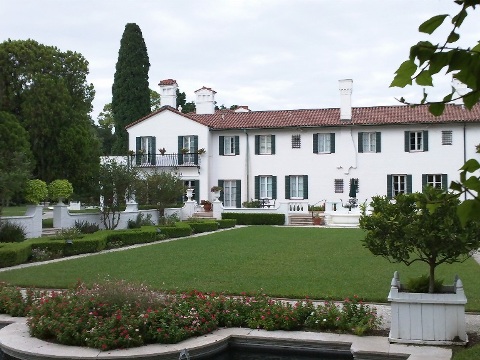
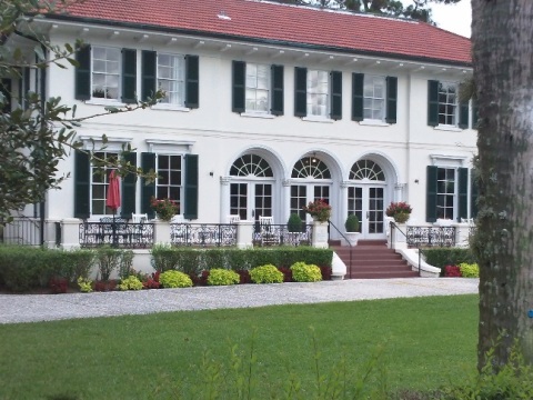
- The Central Historic District is a designated National Historic Landmark, covering 240 acres including the Jekyll Island Club (1888) and 33 historic structures.
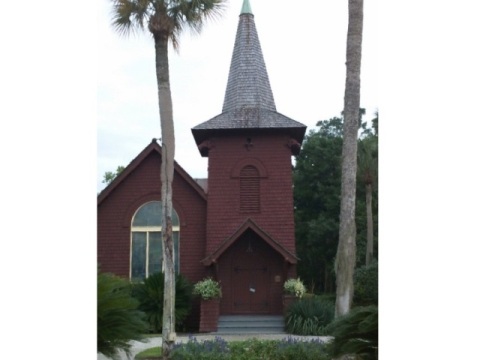
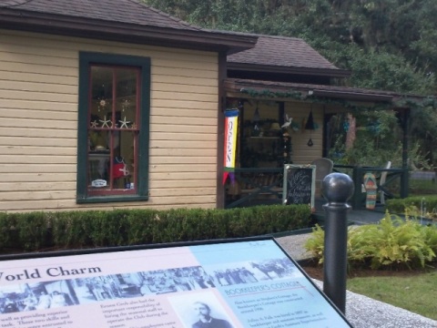
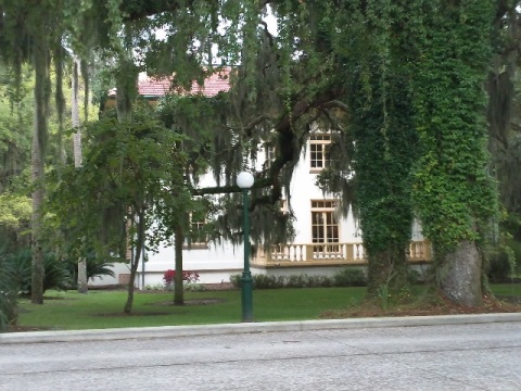
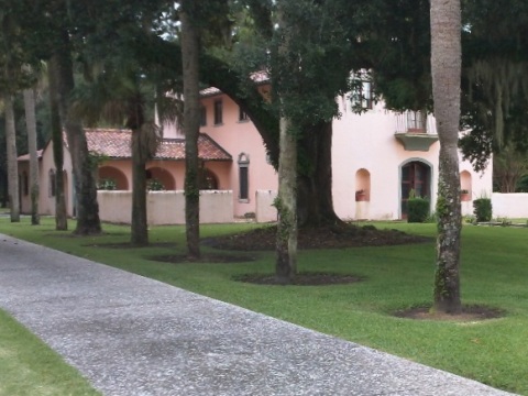
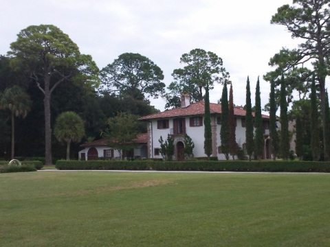
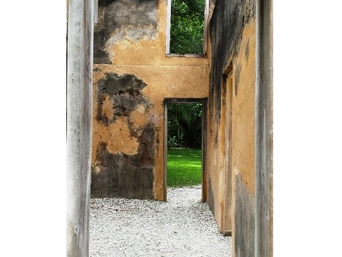
Historic District
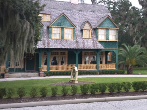
Jekyll Island operated as a private enclave for elite members (1888-1942), the Jekyll Island Club (now part of Jekyll Island Club Resort) was the clubhouse. Many shops in the historical center are housed in historic buildings.
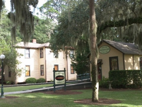
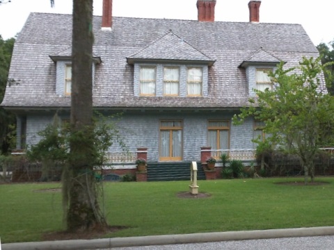
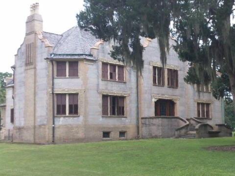
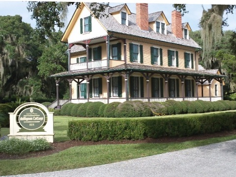
"Cottages"
The "cottages" - most would call them "mansions" - were built as winter homes for families with names such as Morgan, Rockefeller, Gould and Vanderbilt. Many have been restored to their former glory, and are open to visitors.
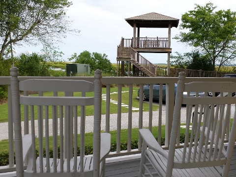
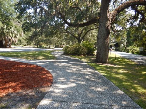
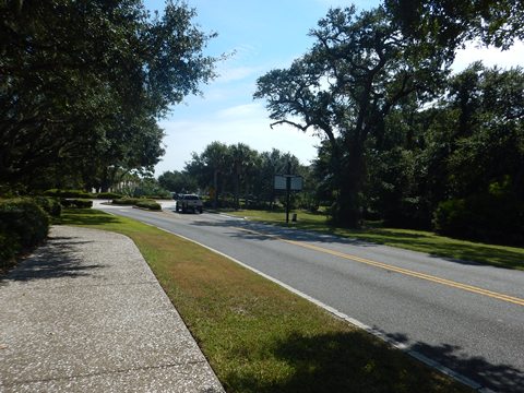
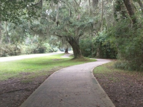
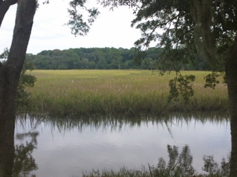
Riverview Park to Beach Village
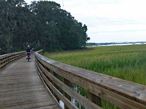
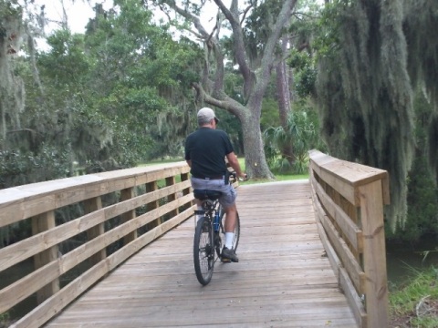
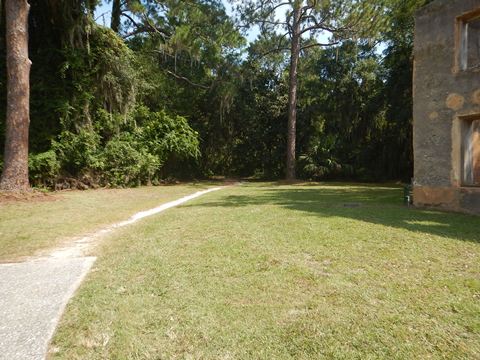
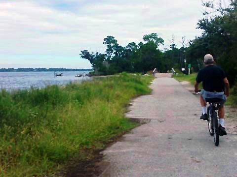
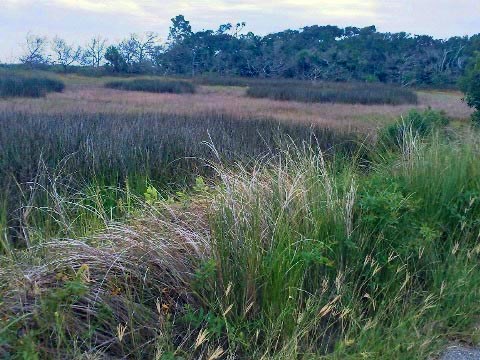
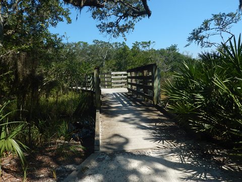
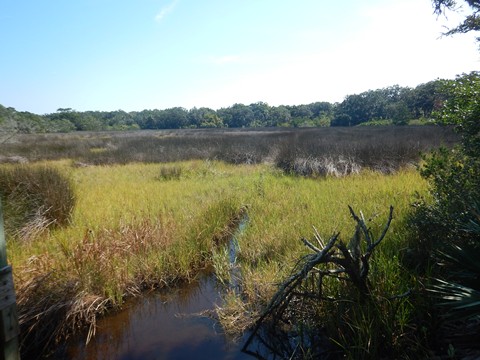
The trail runs through Riverview Park, a tranquil oasis with scenic water and marshland views, and views of both the Jekyll Island Causeway and Sidney Lanier Bridge. Parking and benches available but no other amenities. Several boardwalks cross the marshlands. Approaching the Causeway, the trail emerges to run alongside Riverview Drive, then it turns east paralleling Ben Fortson Pkwy. (SR 520). It links with the South Loop Trail and ends at the Oceanview Trail at Beach Village.
Trail at Riverview Park
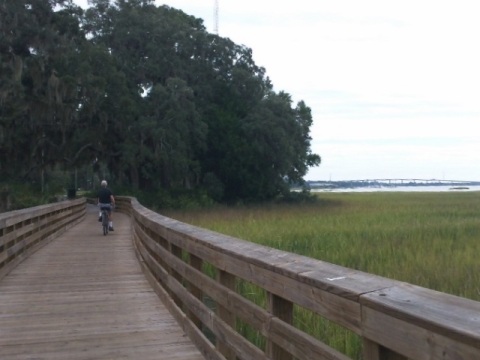
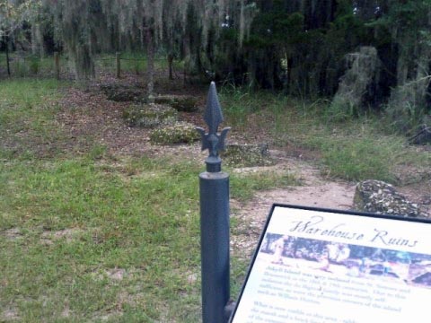
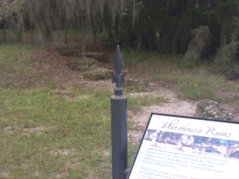
The Park was site of the historic Boathouse, where the club launches were stored when not in use. All that remains are a few piers, and the capstan winch that pulled the boats from the water.
North Loop Trail
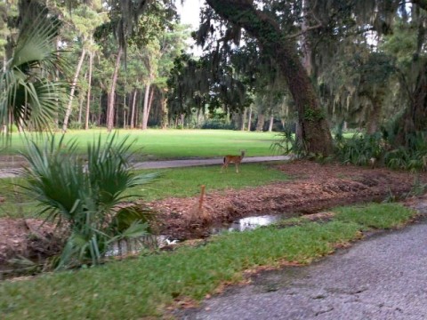
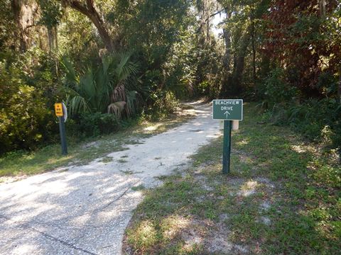
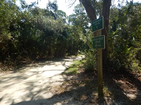
The North Loop Trail makes a 9-mile loop around the northern end of the island. Starting on the western side it links with the Historic District Trail and Glimpses of Golf Courses Trail. It first passes Jekyll Island Airport, then follows Riverview Drive northbound along the Jekyll River, including boardwalks overlooking the marsh hammock, and past the historic Horton House. At the northern end are the Clam Creek Picnic Area and Jekyll Island Fishing Pier, and Driftwood Beach .
- Looping onto the eastern side it follows Beachview Drive southbound, passing residential and resort areas, then emerges oceanside near Captain Wylly Rd., where it links to Glimpses of Golf Courses Trail and Oceanview Trail.
- The Glimpses of Golf Courses Trail along Captain Wylly Rd. completes the "loop."
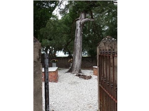
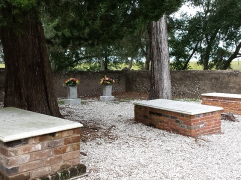
Trail at Horton House and DuBignon Cemetery
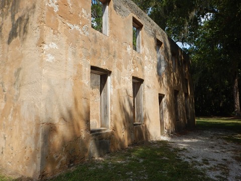
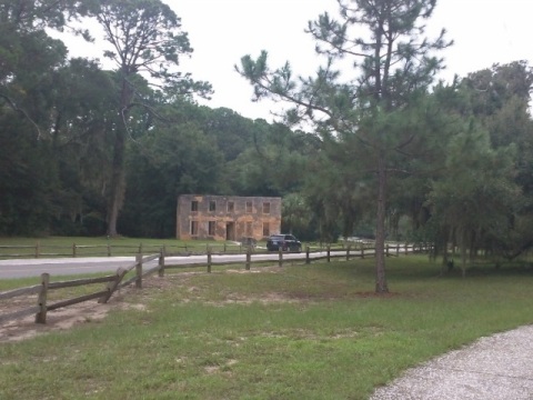
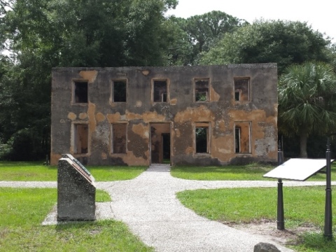
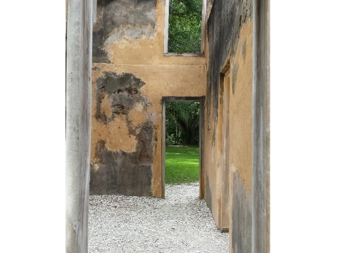
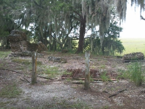
Northbound on the west, the trail runs along Riverview Drive about 3 miles to Horton House, the oldest tabby house in Georgia (1743), and adjacent DuBignon Cemetery . Horton House, the Brewery Ruins, and DuBignon Cemetery are listed on the National Registry of Historic Places.
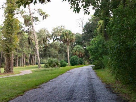
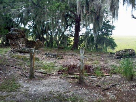
Horton House (1743)
William Horton was a top British officer and aide to General James Oglethorpe during the British Colonial Period. He was granted Jekyll Island in 1735, growing a variety of crops, and establishing the first beer brewery (remains are nearby). After Horton's death (1749), the house eventually became the residence of the DuBignon family .

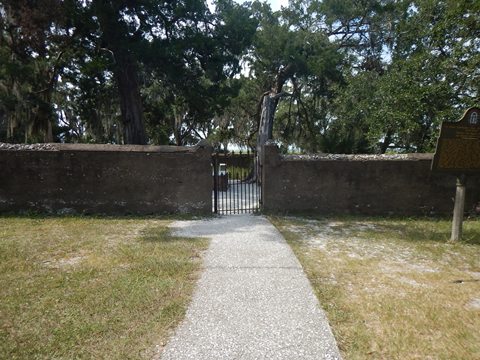
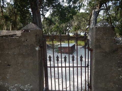
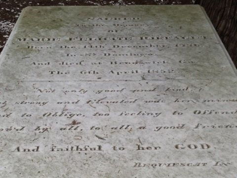
DuBignon Cemetery
There are 5 gravesites here: 3 members of the DuBignon family, who owned and ran the island for four generations (1790-1896), and 2 hotel employees who drowned in 1912. No one is actually buried here, scattered gravestones were found in the area and brought to the memorial site, but the location of the actual graves is lost to time.

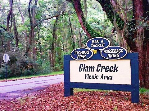
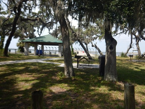
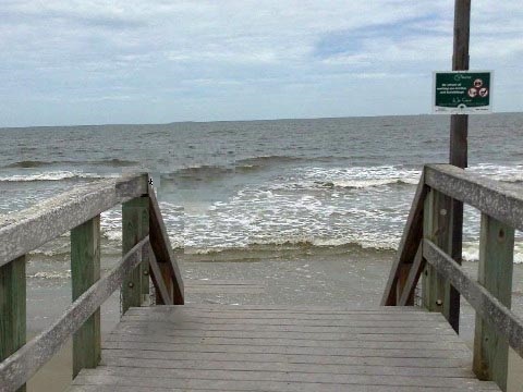
Clam Creek and Jekyll Island Fishing Pier
Continuing north from Horton House along Riverview Drive in about 1/2 mile is an intersection - go right onto Beachview Drive toward Driftwood Beach, or go left onto Clam Creek Road to the Clam Creek Picnic Area and then on to the Jekyll Island Fishing Pier (parking, restrooms, picnic tables and grills, bait shop). Past the fishing pie r, the trail crosses Clam Creek, then runs south on the east (ocean) side, meeting Beachview Drive at the Driftwood Beach parking area.
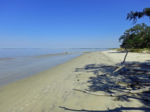
Driftwood Beach is considered one of the best beaches in the U.S. The scenic driftwood formations (remnants of an ancient maritime forest) are popular backdrops for photographers and beachcombers. Its otherworldly look has made it the site of several movie productions including "The Walking Dead."
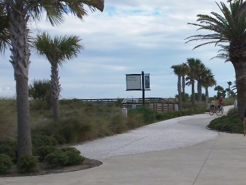
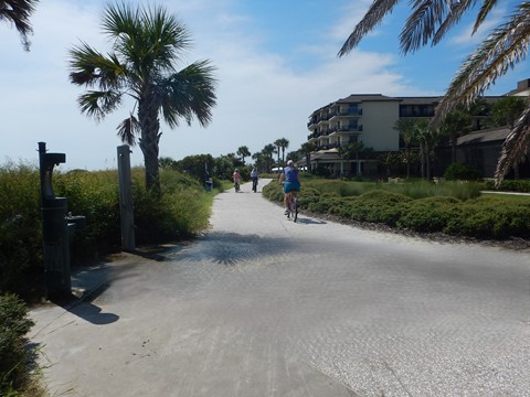
Oceanview Trail
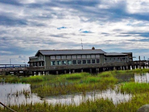
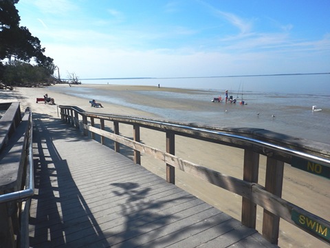
Oceanview Trail runs north-south along N. Beachside Drive (oceanside) for about 2 miles. Starting from the North Loop Trail at Captain Wylly Rd. it runs south, through Oceanview Beach Park (parking, restrooms and showers, picnickinig, beach access). Continuing along the way are several more crossovers to some of Jekyll Island's best beaches.
- Past the Convention Center is the Beach Village, and links to the Historic District Trail and South Loop Trail.
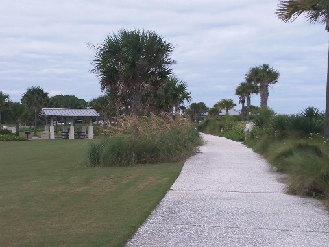
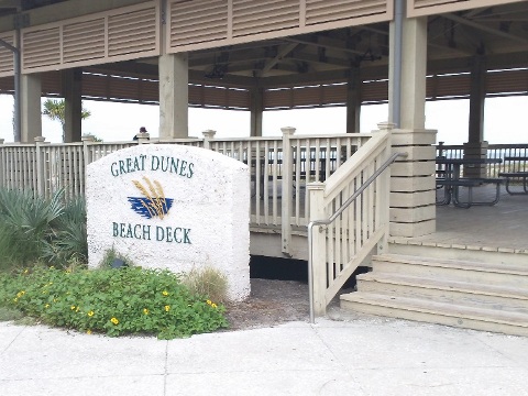
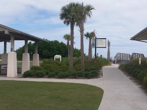
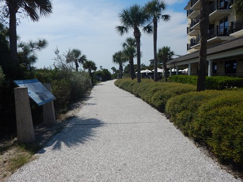
Great Dunes Beach Park to Beach Village
Trail at Great Dunes Beach Park
Great Dunes Beach Park is a 20-acre beachfront park with parking, restrooms, beach deck, picnic pavilions, bocce court and volleyball.
Beach Village to Corsair Beach Park
The trail continues oceanside past hotels and condos, with crossovers to the beach. It loops around Corsair Beach Park (parking, picnic pavilions, restrooms, outdoor showers) and ends at S. Beachview Drive, where the South Loop Trail then runs southbound.
South Loop Trail
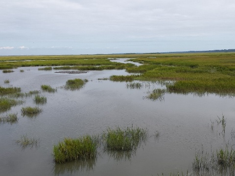
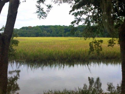
The South Loop Trail runs about runs about 6 miles circling the southern end of the island. The east (ocean) side is more developed, starting at the end of the Oceanside Trail and running to St. Andrews Beach Park. The west (river) side, ending at the Historic District Trail, is more remote including an unpaved section. Several unpaved connectors run between the two sides.
- St. Andrews Beach wraps around the southern end of the island. This is a less visited area, but includes some interesting history. When Jekyll Island State Park was formed in 1948, segregation restricted access by African Americans. The southern end of the island was set aside for their use in 1950, called St. Andrews Beach.
S. Beachview Drive to St. Andrews Beach Park
Along S. Beachview Drive
From the end of the Oceanview Trail, the South Loop Trail runs roadside along S. Beachview Drive - separated by a wide median - passing several beachside hotels, and the South Dunes Picnic Area with parking, restrooms and picnic.
- The Jekyll Island Soccer Complex along the way has parking and a beach access boardwalk. The boardwalk was built by a production crew to carry their equipment for filming the movie "Glory" (1989) and this section then was called Glory Beach .
- The trail passes Camp Jekyll, a Georgia 4-H summer camp and year-round environmental center. This is the site of the former Dolphin Club and Motor Hotel, a black-owned beach resort and music venue (1959-64).
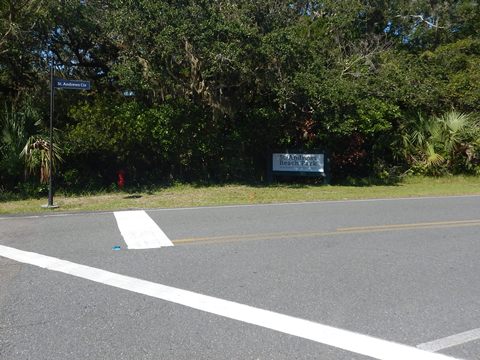
St. Andrews Beach Park
St. Andrews Beach Park lies near Jekyll Point, the southernmost point on the island. The park has parking, restrooms, picnic tables, beach access and boardwalks, and a wildlife viewing platform. Park roads and pathways are bikeable.
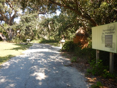
- The Wanderer Memory Trail remembers America's last-known slave ship, the Wanderer, that docked here in 1858. Interpretative exhibits on the trail tell the story.
St. Andrews Beach Park to Historic District Trail
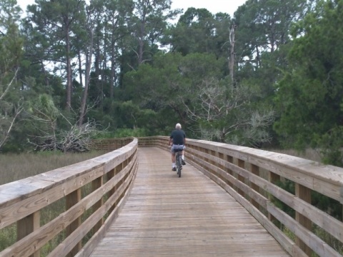
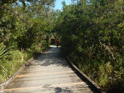
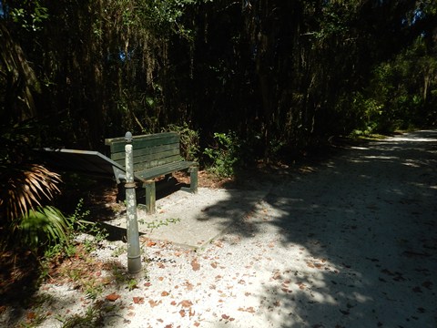
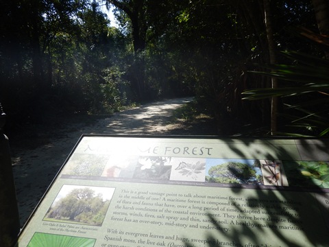
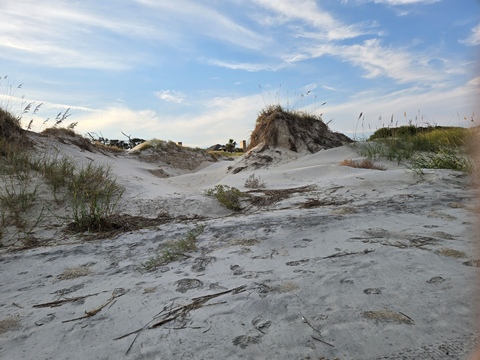
From St. Andrews Beach Park, the trail continues roadside through a more secluded area, surrounded by woodland and marsh. Starting at about 1.5 mile are two sections where the trail cuts away from the road to run unpaved through maritime forest and salt marsh. Fat tires are better here, the surfaces are mostly hard-packed but with some sandy spots. Several boardwalks give scenic views. Interpretative signs describe the surroundings.
- The first unpaved section is near the Summer Waves Water Park, and includes a link crossing over to Beachview Drive (signs point the way).
- The trail rejoins the roadway briefly on a paved section, then the second unpaved section cuts off and leads to the Historic District Trail at Ben Fortson Pkwy. (SR 520).
The "loop" is completed by following the Historic District Trail to its connection to the Oceanview Trail, which in turn connects to the South Loop Trail at S. Beachview Drive.
Along S. Riverview Drive
Golf Course Trails
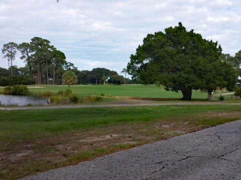
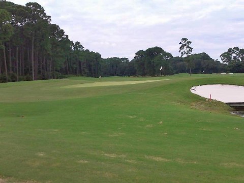
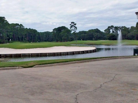
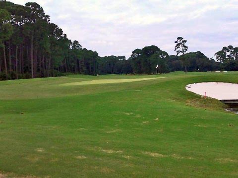
Jekyll Island has four golf courses. Two trails running past the courses are also east-west corridors, providing links between trails on either side of the island.
Glimpses of Golf Courses Trail
The Glimpses of Golf Courses Trail runs east-west about 1.5 mile along Captain Wylly Road, passing the Tennis Center and the Golf Club. It links to the North Loop Trail at both east and west ends (effectively closing the North Loop), and also on the east to the Oceanview Trail.
Shell Road Trail
A pathway leads from the Historic District Trail to the Jekyll Island Museum. The Shell Road Trail starts behind the museum and runs east for 0.8 mile, passing the golf course to the Miniature Golf complex at Beachview Drive. Here it meets the Oceanview Trail near Great Dunes Beach Park.


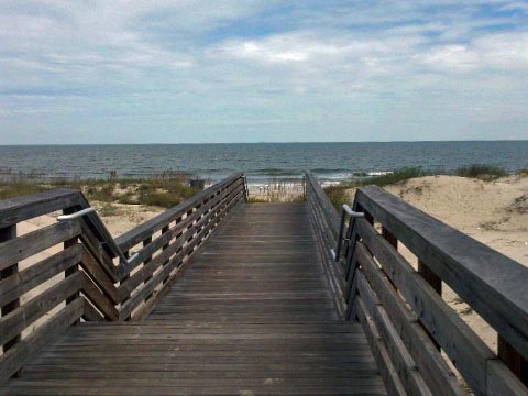
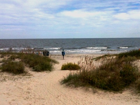
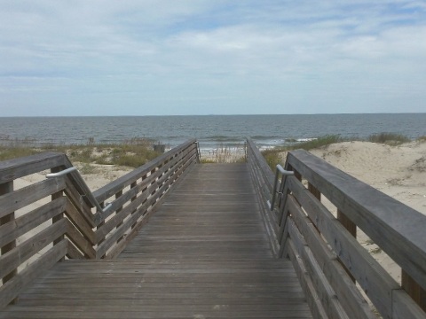
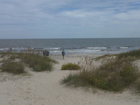
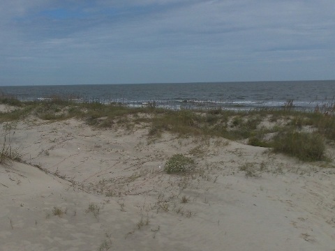
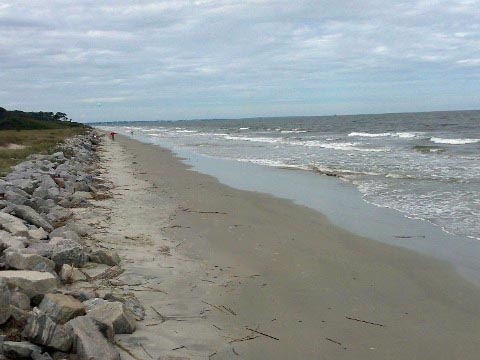
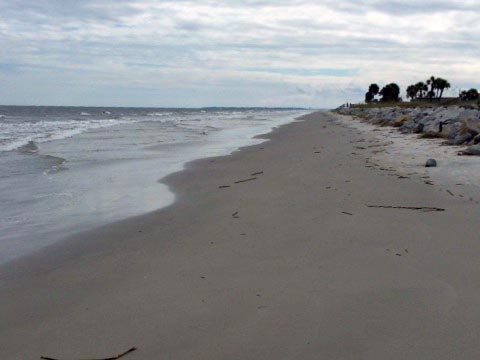
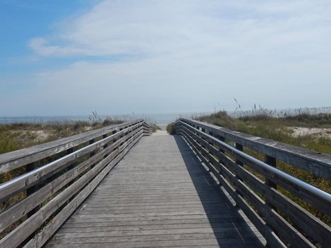
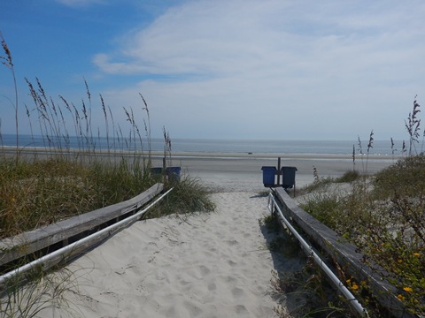
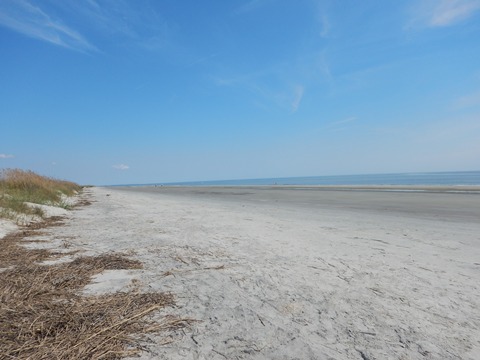
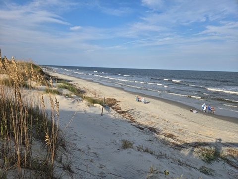
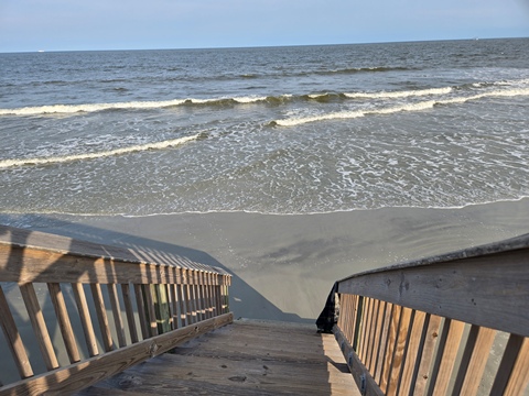
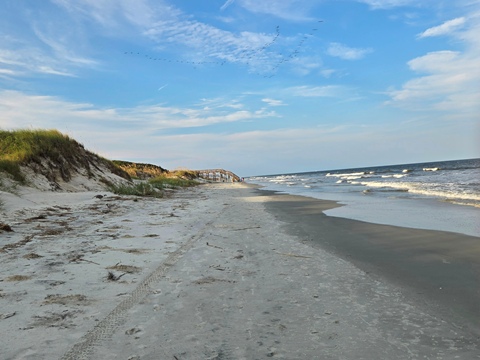
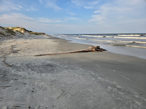
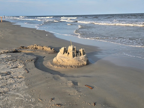
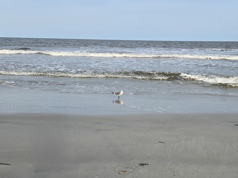
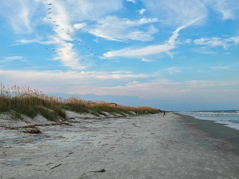
A Walk on the Beach
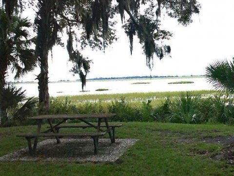
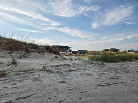
Relaxing at the beach is a favorite activity here. The beaches along the Atlantic are beautiful. The beaches to the south are generally less visited and quiet - perfect!
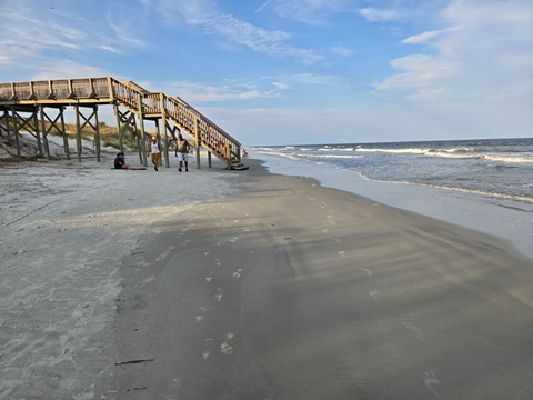
- This section is behind the hotels along S. Beachview Drive, south of Beach Village. Boardwalks cross the dunes to the beaches.
More Information and Resources
Nearby Biking:
St. Simons Island
Bike-Georgia - More bike trails and information about biking in Georgia
Related Resources:
Jekyll
Island State Park
-
Jekyll Island Biking
-
Visitor Guide
The Golden Isles - Jekyll Island
Support and Advocacy:
Jekyll Island Foundation

Copyright © BikeTripper.net. All Rights Reserved. Have Bikes - Will Travel